
 Worksheets
Unit 1 Test Review
Total questions: 22
Worksheet time: 14mins


A Robinson map is
The loss of accuracy in maps is a
projection
cartographer
distortion
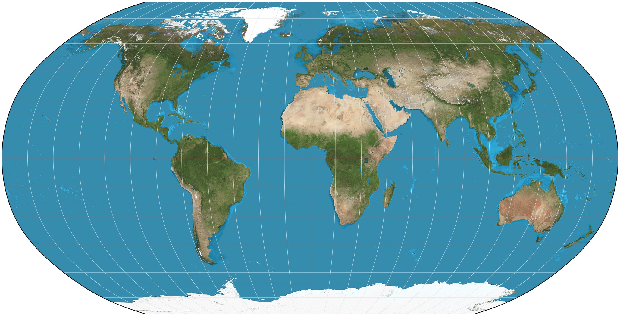
Which projection is this?
Peters
Robinson
Mercator

What are this map's distortions?
land masses near poles are too large
continents shapes are inaccurate
continent size is inaccurate


Set of numbers that describe the exact location of a specific place.
absolute location
hemispheres
coordinates
Equator
Line of 0 degree LONGITUDE that divides the Earth into Eastern/Western Hemispheres.
Prime Meridian
Equator
Hemispheres
Absolute Location
Line of 0 degree LATITUDE that divides the Earth into Northern/Southern Hemispheres.
Equator
Prime Meridian
absolute location
coordinates

Location D is located at which coordinates?
30oN, 90oW
90oN, 30oW
10oN, 40oW
30oN, 90oE
I called my friend to tell her what happened.
Human Environment Interaction
Movement
Location
Place

The address, 504 Dunn Ave. is an example of -
Human-Environment Interaction
Location
Region
Movement

When turbines provide energy for people this is an example of -
Location
Place
Region
Human-Environment Interaction

This theme describes how areas can share common features like climate.
Human-Environment Interaction
Location
Place
Regions

What tool on a map shows you the directions?
scale
key
legend
compass rose
Two cities are 7 inches apart on a map. The scale states that 1" = 200 miles. How far apart are the two cities in real life?
7 inches
200 miles
700 miles
1400 miles
What type of maps show natural features?
Political Maps
Demographic Maps
Physical Maps
Projection Maps

