
NEW
Font size
 Worksheets
Maps, Maps, Maps!
Total questions: 20
Worksheet time: 3hrs 20mins
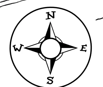
This tells us direction
Map Key
Map Title
Compass
lunch menu
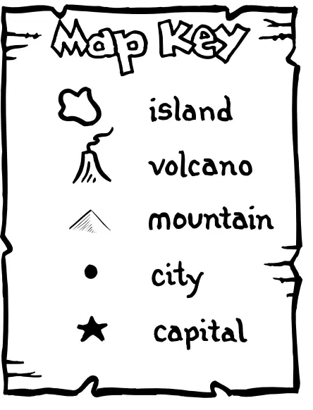
Which symbol on the Map Key tells us the capital?


What type of map is this?
weather map
city map
street map
treasure map
What's the purpose of a map?
Decor a room
Help you lose things
Help you see things
Help you find places
Ready for a fun challenge? Can you tell me what a physical map is mainly used for?
Is it to show political boundaries?
Or, is it to show landforms and physical features?
Maybe it's to show population density?
Or could it be to show climate zones?
Imagine you're an explorer on a thrilling adventure, and you've just stumbled upon a mysterious map! Can you tell what color is typically used to represent water bodies on this physical map?
Blue
Green
Yellow
Red
An area that shares physical or human characteristics, such as common features.
region
climate
irrigate
Map show the physical characteristics of a place, and can show mountains and valleys.
elevation
physical
plain
shows characteristics of the PHYSICAL environment such as landforms, rivers, deserts.
road map
physical map
political map
historical map
Some cities have lots of pollution and garbage. Which theme does this represent?
Location
Human-Environment interaction
Region
Place


What type of map is this?
climate map
historic map
political map
physical map
Why are latitude and longitude useful to geographers?
They can be used to organize the entire water surface on Earth
They can be used to divide all of the large landmasses on Earth
They can be used to identify the exact location of any place on Earth.
They can be used to identify the approximate location of any place on Earth
What advantage do globes have over maps?
They are easier to work with
They are less expensive to make
They show the world as it really is
They show more information about the world
elevation map
shows political information such as location of state or national borders or the location of capitals and other cities
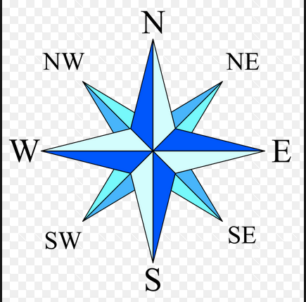
looks like an arrow and shows the directions:North, South, East and West
shows pictures of the land and cities from space
shows physical characteristics of a land area
political map
shows numbers of people that live in an area
high and low places shown through using different colors
shows political information such as location of state or national borders or the location of capitals and other cities
is the distance or height above sea level

