
 Worksheets
Unit 1 and 2 Test - Jackenson
Total questions: 17
Worksheet time: 9mins
Name
Class
Date
1.
Map maker
a)
Epidemiologist
b)
Cartographer
2.
This ocean is closest to us here in Greer, South Carolina.
a)
Atlantic Ocean
b)
Pacific Ocean
3.

A ________________ is a visual explanation of the symbols used on the map.
a)
Legend/Key
b)
Title
4.

According to this map of the transatlantic slave trade, where did the majority of slaves go during this time period?
a)
Asia
b)
South America
5.
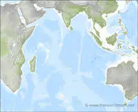
What ocean is shown?
a)
Arctic Ocean
b)
Indian Ocean
6.
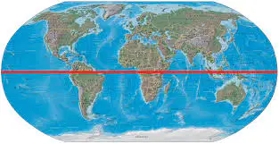
The line of latitude that runs through the middle of the Earth at 0° latitude and divides the Earth into the Northern and Southern hemispheres.
a)
Equator
b)
Prime Meridian
7.
This country created a one-child policy from 1979 - 2016 to keep their population under control.
a)
China
b)
Bangladesh
8.
The top 3 most populated countries in the correct order from most populated to least populated is:
a)
USA, China, India
b)
China, India, USA
9.
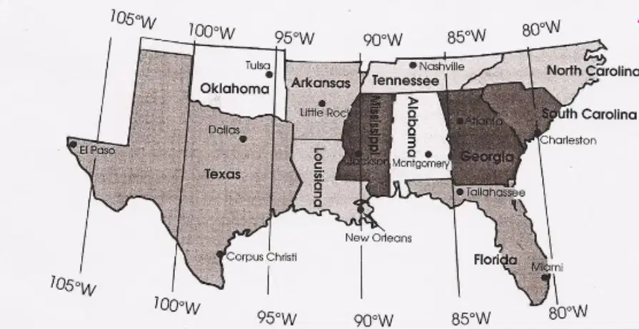
Which city is closest to 95° W?
a)
Miami
b)
Tulsa
10.

Who has a longer life expectancy, men or women?
a)
Men
b)
Women
11.
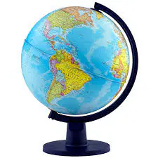
This is called a
a)
Globe
b)
Map
12.
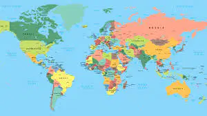
This is called a
a)
Globe
b)
Map
13.
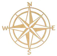
This is called a
a)
Compass
b)
Legend
14.
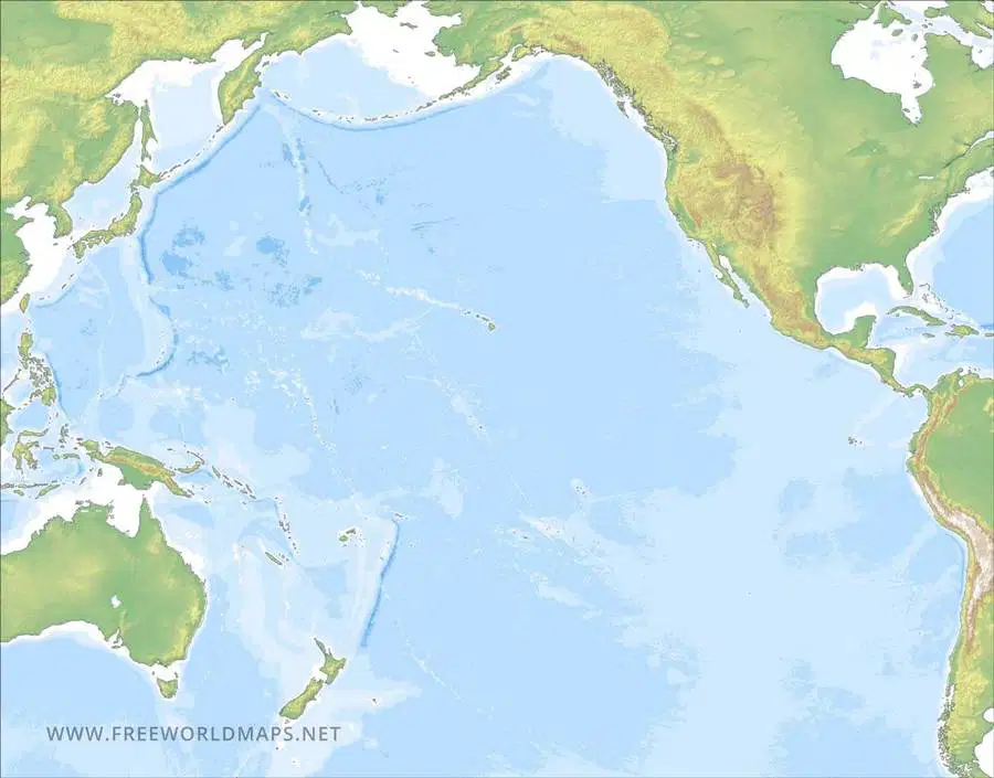
This is the
a)
Atlantic Ocean
b)
Pacific Ocean
15.
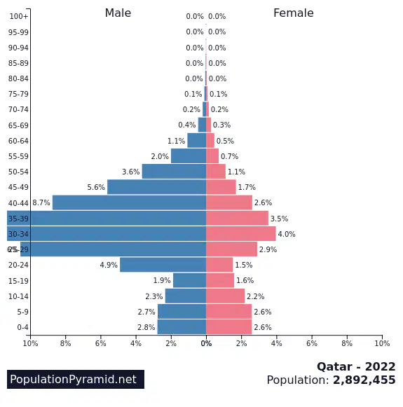
The country of Qatar has more
a)
boys
b)
girls
16.
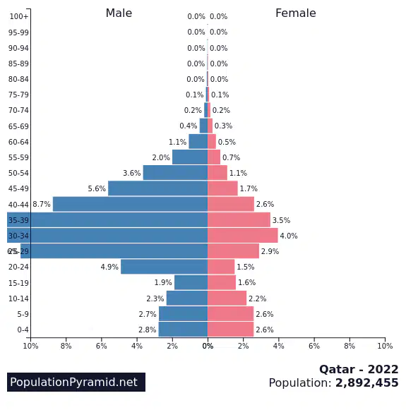
According to the population pyramid, Qatar's population is mostly
a)
Old people 75+
b)
Male Construction Workers
17.
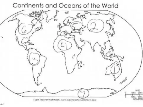
Continent #6 is
a)
North America
b)
Europe
100 %

