
 Worksheets
Unit 2 Test Review
Total questions: 76
Worksheet time: 1hrs 8mins
Describes an EXACT location
relative location
absolute location
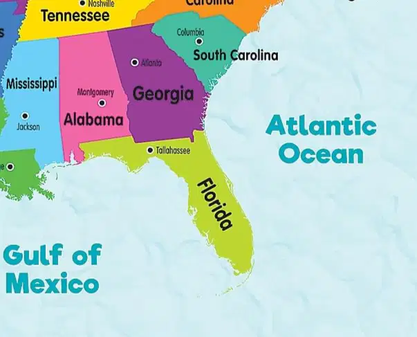
Georgia is north of Florida
relative location
absolute location
40 degrees north, 80 degrees east
relative location
absolute location
Describes where a location is in relation to another place.
relative location
absolute location
My parents live five miles away from here.
relative location
absolute location
Amazon delivered the package to 123 Walnut Street in Hudson, NH
relative location
absolute location

What is climate?
The weather forecast for tomorrow
Short-term conditions of the atmosphere
Average daily weather over a given period of time
The average amount of rain over many years.

The amount of rainfall received annually
Short-term conditions of the atmosphere
Average daily weather over a given period of time
The average temperature for a season

Location - Near the Equator
Temperature - Always warm, little change between seasons
Precipitation - High, consistent
Tropical
Dry
Temperate
Continental
Polar

Location - North or south of Tropical Zone
Temperature - Hot summers, cool/cold at night, winters mild to cold
Precipitation - Very little
Tropical
Dry
Temperate
Continental
Polar

Location - Between tropical and polar zones
Temperature - Warm summers, cool winters,
moderate seasonal change
Precipitation - Moderate, evenly spread out through year
Tropical
Dry
Temperate
Continental
Polar

Location - Interior or large continents, ONLY in Northern Hemisphere
Temperature - Hot summers, very cold winters
large seasonal change
Precipitation - Moderate rain and snow, more rain in summer
Tropical
Dry
Temperate
Continental
Polar

Location - Near North and South Poles
Temperature - Extremely cold most of year.
Summers are cool and short.
Precipitation - Very little, mosty snow.
Tropical
Dry
Temperate
Continental
Polar
What has the greatest impact on the climate of a location?
Latitude
Elevation
Ocean and Wind Currents
Closeness to large bodies of water
Terrain (type of land)

Choose the TWO statements that best describe how LATITUDE impacts climate.
Farther from Equator = Warmer
Closer to Equator = Warmer
Farther from Equator = Cooler
Closer to Equator = Cooler
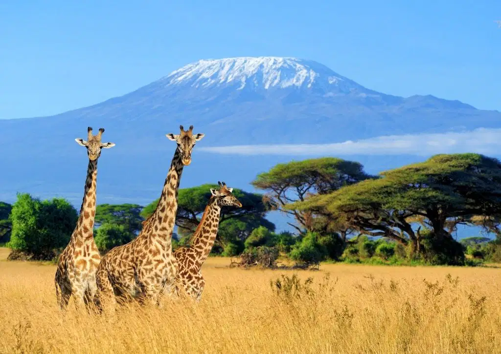
How does ELEVATION impact climate?
Higher places are colder than lower places
Lower places are colder than higher places
Higher and lower places have the same climate
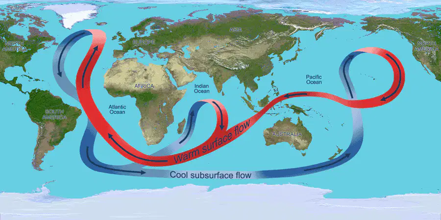
What can make COASTAL areas warmer/cooler and wetter/drier than you might expect?
Elevation
Latitude
Terrain
Ocean and Wind Currents
Closeness to large body of water
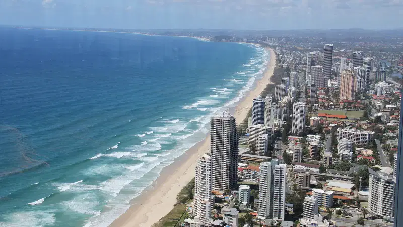
How does being close to a large body of water impact climate?
Milder climate overall
Colder winters
Hotter summers
More snow and ice
It has no effect
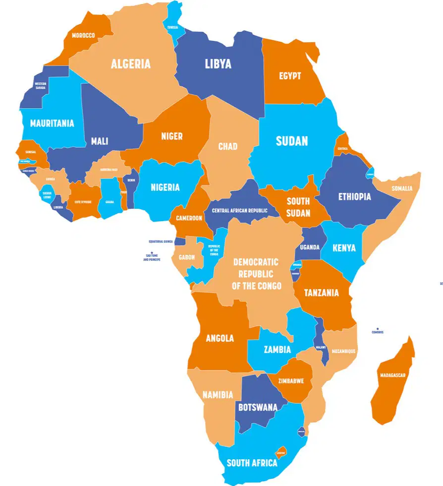
Shows human-made boundaries like countries, states, and cities
climate map
economic resource map
physical map
political map
religion map
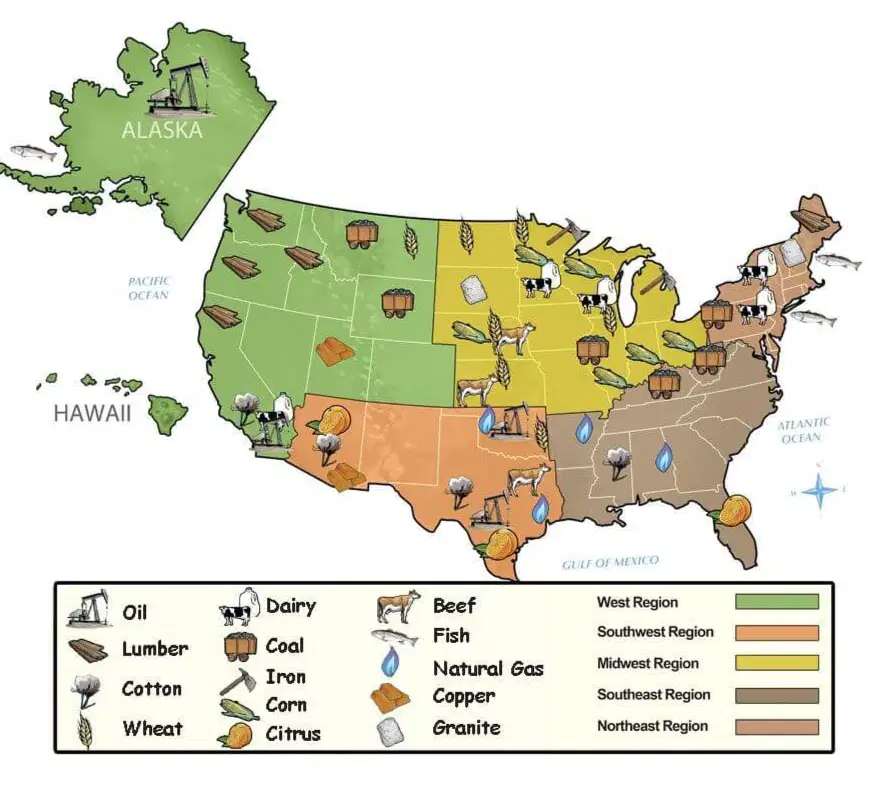
Shows how land is used - farming, mining, etc.
climate map
economic map
physical map
political map
topographic map

Shows landforms, rivers, and mountains.
climate map
economic resource map
physical map
political map
religion map

Shows temperture, rainfall, and weather patterns
climate map
economic map
physical map
political map
religion map
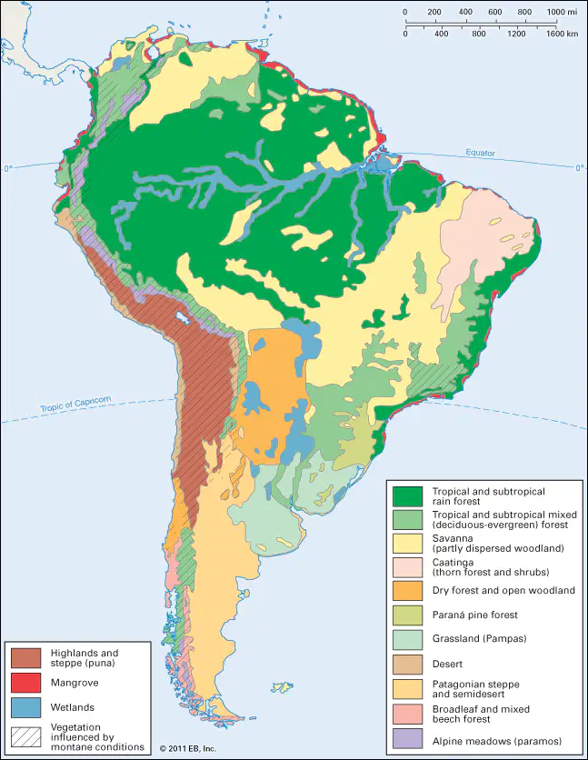
Shows types of natural plant life that can grow in that area
vegetation/biome map
economic map
physical map
climate map
religion map

Shows cultural diversity
vegetation/biome map
economic map
physical map
ethnic map
religion map
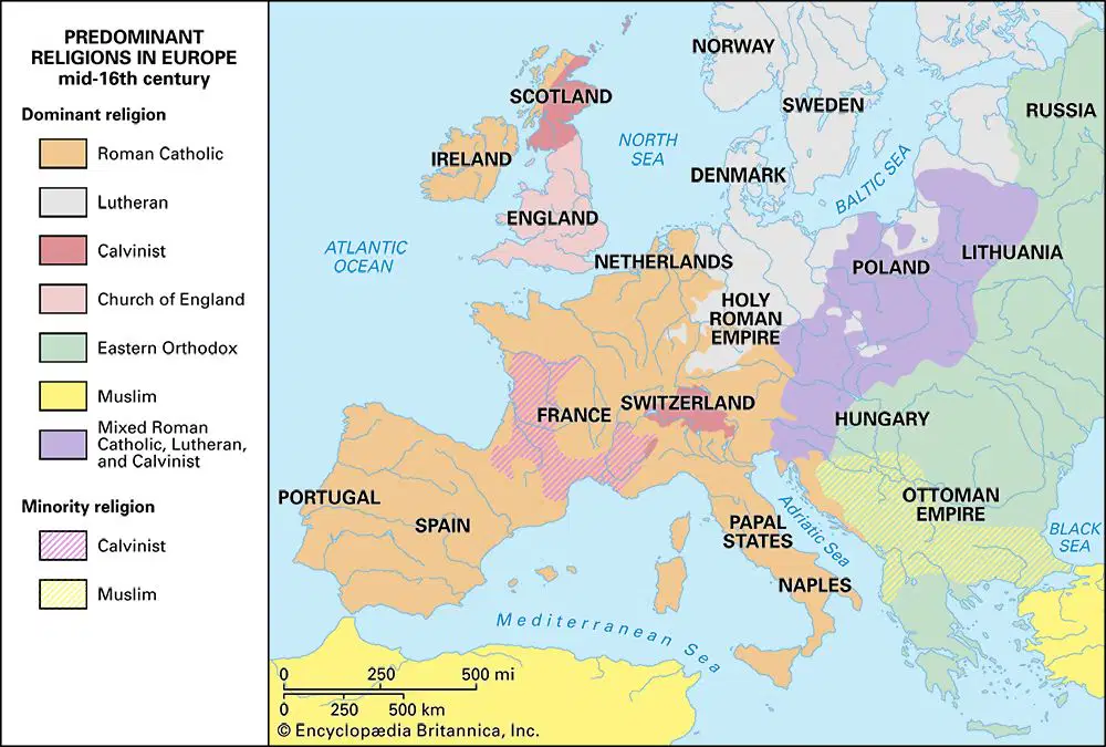
Shows beliefs people practice
vegetation/biome map
economic map
physical map
ethnic map
religion map
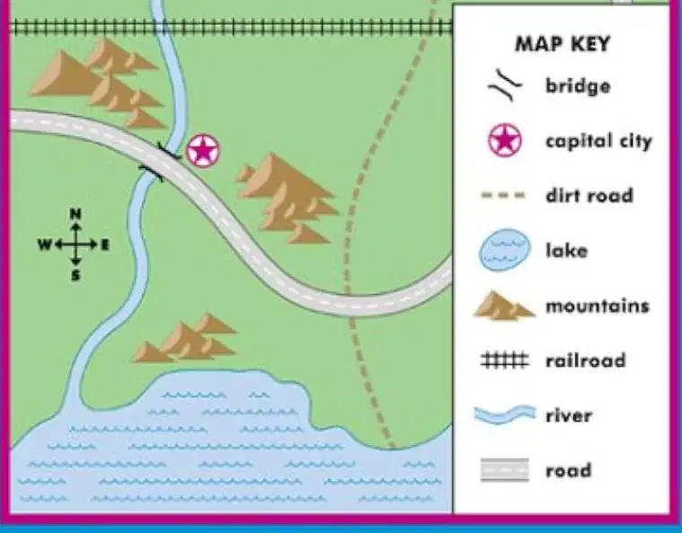
Which best describes the purpose of a Map KEY/LEGEND?
tells the focus of the map
represents the orientation of the map (N,S,E,W)
includes the symbols that appear on a map and what they mean
shows the relationship between distances on the map and real-world distances
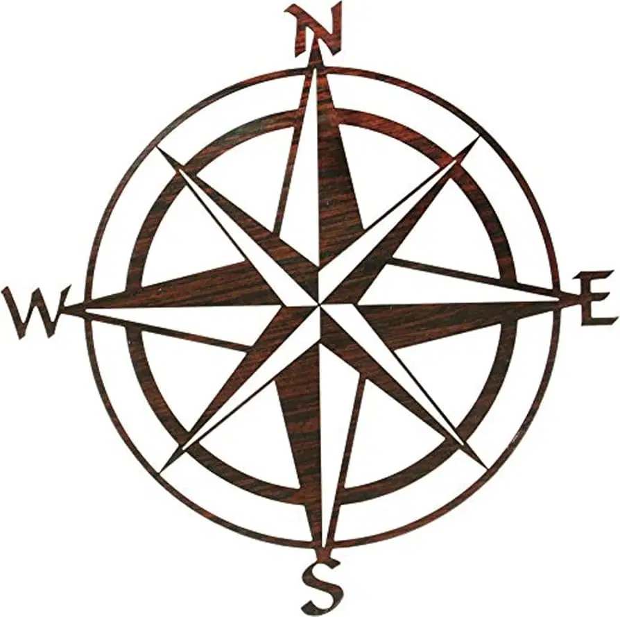
Which best describes the purpose of the COMPASS ROSE?
tells the focus of the map
represents the orientation of the map (N,S,E,W)
includes the symbols that appear on a map and what they mean
shows the relationship between distances on the map and real-world distances
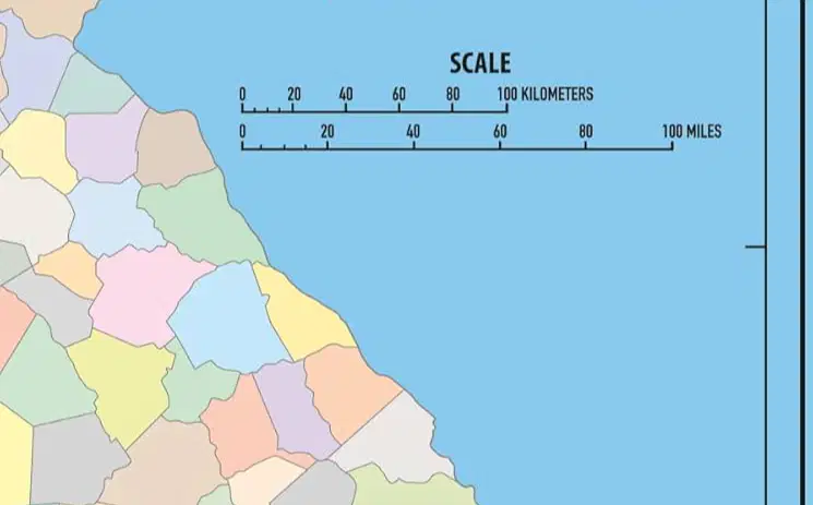
Which best describes the purpose of the Map SCALE?
tells the focus of the map
represents the orientation of the map (N,S,E,W)
includes the symbols that appear on a map and what they mean
shows the relationship between distances on the map and real-world distances

Which best describes the purpose of the Map TITLE?
tells the focus of the map
represents the orientation of the map (N,S,E,W)
includes the symbols that appear on a map and what they mean
shows the relationship between distances on the map and real-world distances

World Map
Scale = ?
Detail = ?
Scale = Small
Detail = A lot
Scale = Medium
Detail = More detail for a smaller area
Scale = Large
Detail = Not great detail

Map od South Carolina
Scale = ?
Detail = ?
Scale = Small
Detail = A lot
Scale = Medium
Detail = More detail for a smaller area
Scale = Large
Detail = Not great detail

City Map
Scale = ?
Detail = ?
Scale = Small
Detail = A lot
Scale = Medium
Detail = More detail for a smaller area
Scale = Large
Detail = Not great detail

Largest part of Earth's water surface
ocean
sea
lake
pond

Landmass completely surrounded by water
continent
island
peninsula
isthmus

Chain or cluster of islands
peninsula
island
archipeligo
atoll
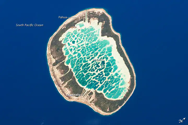
Ring-shaped reef, island, or chaim of islands formed by coral
peninsula
island
archipeligo
atoll

Ridge of jagged rock, coral, or sand found just below the surface of the water
reef
island
archipeligo
atoll

A large body of salt water smaller than an ocean
Ocean
Sea
Lake
Pond

A natural elevation of land smaller than a mountain
mountain
plateau
hill
vale
An elevated flatland
plateau
mountain
hill
valley

Body of water completely surrounded by land. Usually freshwater, but can be salt water.
sea
lake
pond
ocean
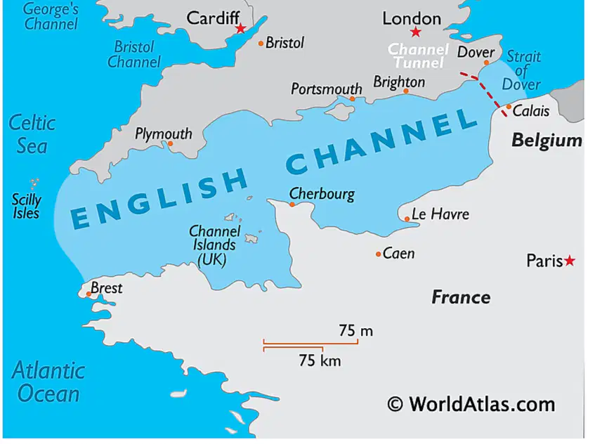
Natural passage of water connecting two large bodies of water
Strait or Channel
Canal or Channel
Canal
Isthmus
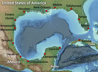
Large bay with a narrowing opening to the ocean
gulf
lake
strait
river

Flowing body of freshwater
River
Gulf
Ocean
Sea

An area of land surrounded by water on 3 sides
island
isthmus
peninsula
city

Coastal inlet where land curves inward
bay
ocean
pond
sea

Sheltered place along a shoreline where boats can anchor safely.
bay
gulf
harbor
sea
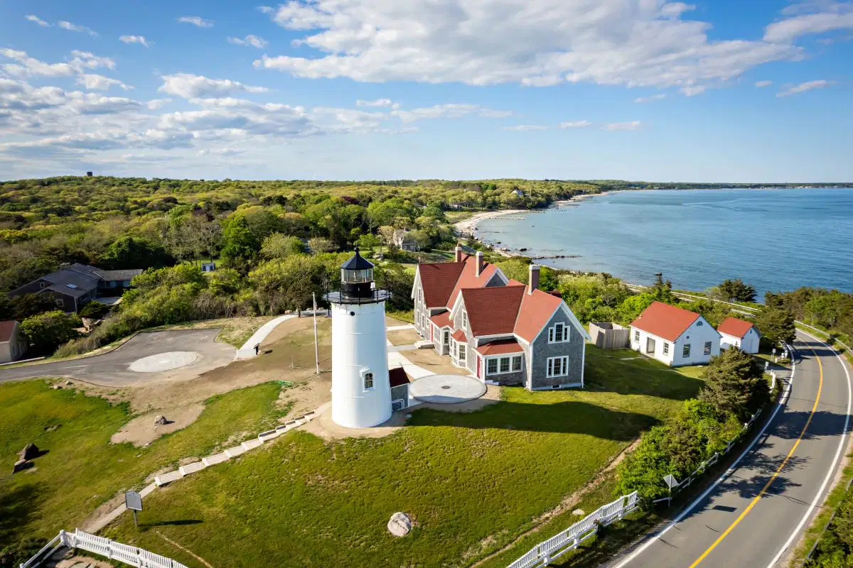
a small piece of land sticking out into a large body of water
isthmus
island
cape
continent

land created by deposits of sediment that form at the mouth of a river
delta
cape
isthmus
peninsula

A narrow stem of land that acts as a bridge to connect two large bodies of land
peninsula
isthmus
cape
island
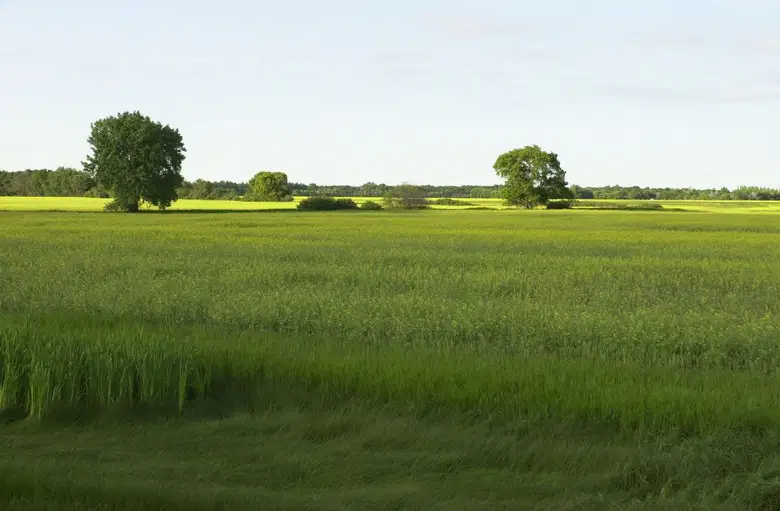
Broad, flat fertile area found in many climates
Plain
River
Ocean
Valley

Type of plain with grasses and few trees
Steppe
Plain
Plateau
Desert

Dry area with very little rainfall
Steppe
Plain
Plateau
Desert

A deep, narrow valley with steep sides
Fjord
Basin
Valley
Canyon

A low area of land COMPLETELY surrounded by higher ground
Fjord
Basin
Valley
Canyon

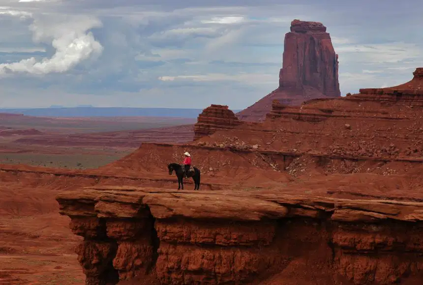
Which main physical feature of Earth is in this photo?
Mountains
Valley
River
Ocean

Which main physical feature of Earth is in this photo?
Ocean
Desert
Valley
Plains

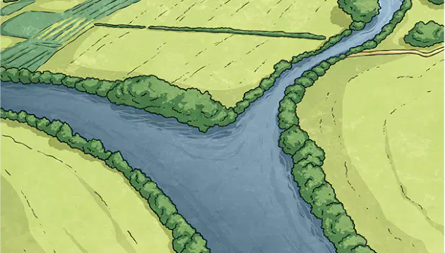
Freshwater stream that feeds into a large stream or river
river
delta
tributary
lake

Narrow man-made water passage that connects two larger bodies of water
channel
strait
canal
isthmus

The shore of the sea or ocean
coast
reef
cape
peninsula
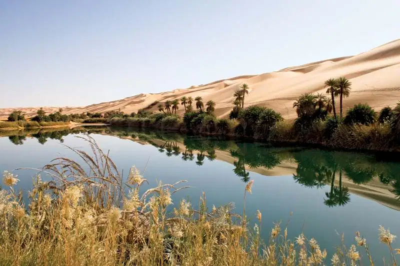
A fertile spot in the desert where freshwater is found
desert
plain
oasis
aquifer

Layer of rock just below earth's surface that holds groundwater and forms a natural reservoir
desert
plain
oasis
aquifer
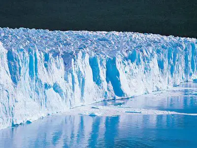
Large mass of ice that moves slowly over land
glacier
mountain
fjord
hill

Long, narrow inlet from the sea between steep cliffs or hills
canyon
fjord
valley
basin

Dense forest in tropical area that gets a lot of rain
Coniferous Forest
Rainforest
Plain
Steppe

Forest with cone-bearing trees that stay green all year
Coniferous Forest
Rainforest
Plain
Steppe
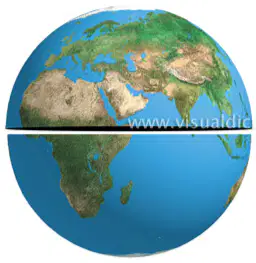
Which two hemispheres does the Equator divide the Earth into?
Western and Eastern
Northern and Southern
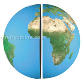
Which two hemispheres does the Prime Meridian divide the Earth into?
Western and Eastern
Northern and Southern

