
Wayground
Early Cold War Quiz - Printable สังคมศึกษา Worksheets ระดับ 9 - Wayground

Early Cold War Quiz

Michelle Emond

สร้างโดย Michelle Emond

24 คำถาม

9th ระดับชั้น

สังคมศึกษา

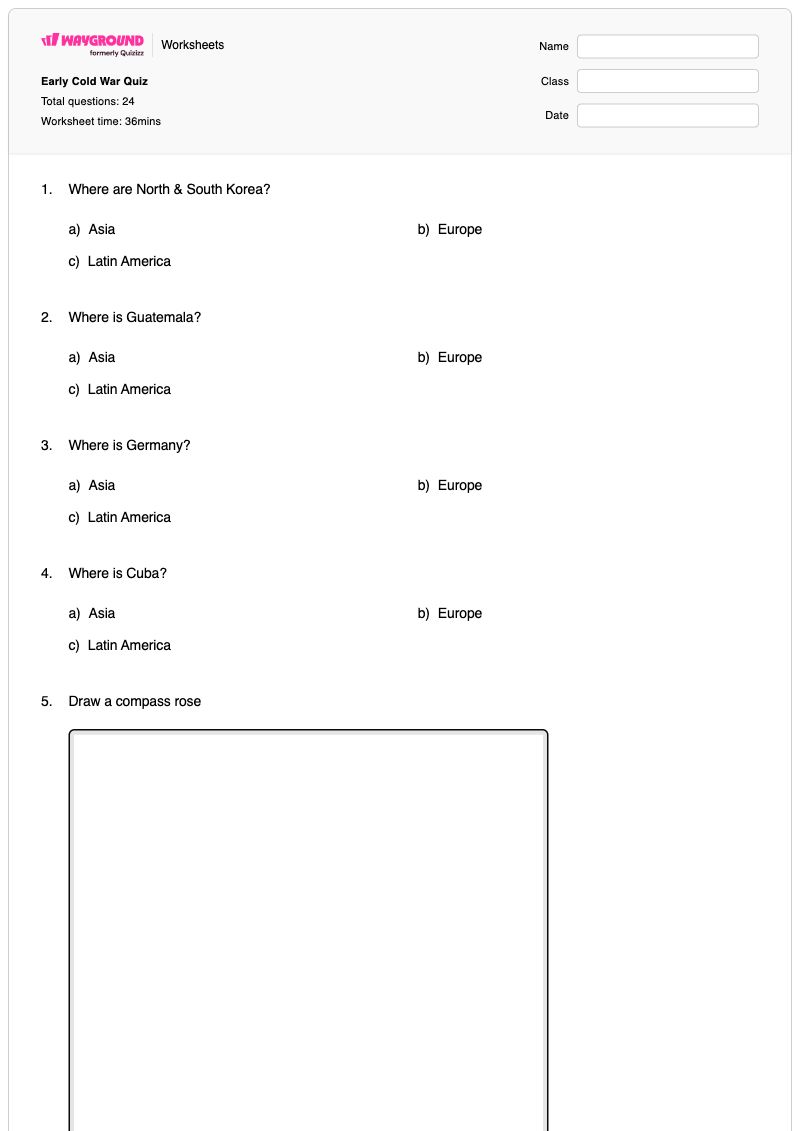
แบบทดสอบเกี่ยวกับสงครามเย็นยุคต้น เป็นแบบฝึกหัดวิชาสังคมศึกษาสำหรับนักเรียนชั้น ม.3 ที่ช่วยพัฒนาทักษะด้านภูมิศาสตร์และการวิเคราะห์ภาพผ่านเหตุการณ์และสถานที่ต่างๆ ในช่วงต้นสงครามเย็น นักเรียนจะต้องระบุภูมิภาคและประเทศต่างๆ เช่น เกาหลี กัวเตมาลา เยอรมนี คิวบา นอร์เวย์ จีน และสหภาพโซเวียต อ่านป้ายกำกับบนแผนที่สำหรับเยอรมนีตะวันตกและคาบสมุทรเกาหลี ระบุตำแหน่งของเบอร์ลิน และวาดเข็มทิศและม่านเหล็กตามที่เชอร์ชิลล์ได้บรรยายไว้ แบบฝึกหัดนี้ประกอบด้วยคำถาม 24 ข้อ: คำถามแบบเลือกตอบ 18 ข้อ งานวาดภาพ 2 ข้อ และคำถามปลายเปิด 4 ข้อ นอกจากนี้ยังแนะนำวิธีการวิเคราะห์การ์ตูนการเมืองอย่างเป็นระบบ โดยให้นักเรียนเริ่มต้นจากคำและภาพที่พวกเขาสามารถสังเกตได้ แบบฝึกหัดที่พิมพ์ได้ฟรีพร้อมเฉลยนี้สนับสนุนการทบทวน การตีความตามหลักภูมิศาสตร์ และการประเมินความสามารถของนักเรียนในการเชื่อมโยงหลักฐานจากแผนที่กับแนวคิดในช่วงต้นสงครามเย็น

การตั้งค่าแผ่นงาน

ขนาดตัวอักษร

S
M
L
XL
Waygroundแผ่นงาน

Early Cold War Quiz

คำถามทั้งหมด: 24

ชื่อ
ระดับ
วันที่

1.

Where are North & South Korea?

a)

Asia

b)

Europe

c)

Latin America

2.

Where is Guatemala?

a)

Asia

b)

Europe

c)

Latin America

3.

Where is Germany?

a)

Asia

b)

Europe

c)

Latin America

4.

Where is Cuba?

a)

Asia

b)

Europe

c)

Latin America

5.

Draw a compass rose

Draw a compass rose
6.
Identify the USSR

Identify the USSR

a)

A

b)

B

c)

C

d)

D

7.
Identify West Germany

Identify West Germany

a)

A

b)

B

c)

C

d)

D

8.

The capital of Germany was divided into East & West just like Germany had been. Although it lay in the Soviet zone, the Western allies controlled the Western half of the city. The Western half was blockaded by the Soviets in the late 1940s and then in the 1960s a wall was built around it to prevent East Germans from defecting. What is the name of the German capital?

a)

Warsaw

b)

Havana

c)

Berlin

d)

Trieste

9.
Identify Norway

Identify Norway

a)

E

b)

B

c)

C

d)

D

10.

Draw the "Iron Curtain" described by Churchill

Draw the "Iron Curtain" described by Churchill
11.
Identify the Korean peninsula:

Identify the Korean peninsula:

a)

F

b)

G

c)

H

d)

I

12.
Identify China:

Identify China:

a)

F

b)

G

c)

H

d)

I

13.
Identify Guatemala:

Identify Guatemala:

a)

F

b)

G

c)

H

d)

I

14.
Identify Cuba:

Identify Cuba:

a)

F

b)

G

c)

H

d)

I

15.

When analyzing a political cartoon - what is the first step we should take?

a)

Look at all of the words and images we see in the cartoon

b)

Immediately try to figure out what the message of the cartoon is

c)

Predict the point of view of the cartoonist

16.
Who is depicted in this cartoon?

Who is depicted in this cartoon?

a)

President Kennedy & Soviet Premier Khrushchev

b)

Josef Stalin & President Truman

c)

President Eisenhower & Cuban leader Fidel Castro

d)

Mao Zedong & Kim Il-Sung

17.
The historical context of this political cartoon is:

The historical context of this political cartoon is:

a)

the Marshall Plan

b)

the Korean War

c)

the Cuban Missile Crisis

d)

the bombing of Pearl Harbor

18.
What is the message or meaning of the cartoon?

What is the message or meaning of the cartoon?

4 เส้น
19.
Which concept is best depicted by this cartoon?

Which concept is best depicted by this cartoon?

a)

the Truman Doctrine

b)

Domino Theory

c)

Mutually Assured Destruction (MAD)

20.
Which concept is best depicted by this cartoon?

Which concept is best depicted by this cartoon?

a)

the Truman Doctrine

b)

Domino Theory

c)

Mutually Assured Destruction (MAD)

21.
From this cartoon, we could infer (deduce or conclude) that President Kennedy had the upper hand. What evidence could be…

From this cartoon, we could infer (deduce or conclude) that President Kennedy had the upper hand. What evidence could be used to support this?

4 เส้น
22.

Over the course of the Cold War, tensions between the US and USSR ebbed and flowed. During the Early Cold War, when were tensions the highest between the two countries?

a)

When the US passed the Marshall Plan and started providing aid to countries to prevent the spread of communism

b)

When NATO was formed as a collective security alliance

c)

When the United States led the coup in Guatemala

d)

When the USSR put missiles in Cuba and the US responded with a naval blockade of the island

23.

During the early Cold War, the goal of US foreign policy was containment of communism. Was the US successful? Explain why or why not.

4 เส้น
24.

Based on what we've learned in this unit (Early Cold War), answer the following : What is our influence in the world, and how has the world shaped us?

4 เส้น
Waygroundแป้นคำตอบ

Early Cold War Quiz

คำถามทั้งหมด: 24

1.
a)

Asia

2.
c)

Latin America

3.
b)

Europe

4.
c)

Latin America

5.
ไม่มี
6.
a)

A

7.
b)

B

8.
c)

Berlin

9.
d)

D

10.
ไม่มี
11.
b)

G

12.
a)

F

13.
c)

H

14.
d)

I

15.
a)

Look at all of the words and images we see in the cartoon

16.
a)

President Kennedy & Soviet Premier Khrushchev

17.
c)

the Cuban Missile Crisis

18.
ไม่มี
19.
c)

Mutually Assured Destruction (MAD)

20.
c)

Mutually Assured Destruction (MAD)

21.
ไม่มี
22.
ไม่มี
23.
ไม่มี
24.
ไม่มี

คำถามที่พบบ่อย

แบบทดสอบช่วงต้นสงครามเย็นครอบคลุมหัวข้ออะไรบ้าง?

แบบฝึกหัดวิชาสังคมศึกษา ชั้น ม.3 นี้ ผสมผสานภูมิศาสตร์ในช่วงต้นสงครามเย็นเข้ากับการวิเคราะห์ภาพ แบบฝึกหัด 24 ข้อนี้ ให้นักเรียนระบุประเทศและภูมิภาคบนแผนที่ ระบุตำแหน่งสถานที่ต่างๆ เช่น เบอร์ลินและเยอรมนีตะวันตก วาดเข็มทิศและม่านเหล็ก และประยุกต์ใช้ขั้นตอนแรกของการวิเคราะห์การ์ตูนการเมือง นั่นคือ การสังเกตคำพูดและภาพ

ฉันจะใช้แบบฝึกหัดนี้ในการสอนภูมิศาสตร์และการวิเคราะห์ภาพในช่วงต้นสงครามเย็นได้อย่างไร?

เริ่มแบบฝึกหัดโดยทบทวนทิศทางเข็มทิศและที่ตั้งของยุโรป เอเชีย และละตินอเมริกา จากนั้นสาธิตวิธีการระบุป้ายกำกับบนแผนที่สำหรับสถานที่ต่างๆ เช่น สหภาพโซเวียต เยอรมนี เกาหลี จีน คิวบา และกัวเตมาลา ก่อนที่นักเรียนจะทำแบบฝึกหัดการ์ตูนการเมือง ให้พวกเขาระบุคำและภาพทั้งหมดที่ปรากฏโดยไม่ต้องตีความความหมายของการ์ตูน ใช้กิจกรรมการวาดภาพเพื่ออธิบายว่าแผนที่และสัญลักษณ์สื่อสารข้อมูลอย่างไร

ฉันควรระวังข้อผิดพลาดอะไรบ้างเมื่อนักเรียนทำแบบฝึกหัดเกี่ยวกับสงครามเย็นนี้?

สังเกตนักเรียนที่สับสนเรื่องทวีปหรือภูมิภาค โดยเฉพาะอย่างยิ่งการระบุว่าเกาหลีและจีนเป็นส่วนหนึ่งของเอเชีย และเยอรมนีเป็นส่วนหนึ่งของยุโรป หรือการอ่านตัวเลือกบนแผนที่ที่ระบุชื่อสหภาพโซเวียต เยอรมนีตะวันตก และคาบสมุทรเกาหลีผิดพลาด นักเรียนอาจวางเข็มทิศผิดตำแหน่ง มองภาพวาดม่านเหล็กเป็นวัตถุจริงแทนที่จะเป็นเส้นแบ่งหรือสัญลักษณ์ หรือข้ามไปดูเนื้อหาของภาพการ์ตูนก่อนที่จะจดบันทึกทั้งคำพูดและภาพ

ฉันจะมอบหมายและให้คะแนนแบบทดสอบช่วงต้นสงครามเย็นได้อย่างไร?

แบบทดสอบเกี่ยวกับช่วงต้นสงครามเย็นมีให้บริการบน Wayground ในรูปแบบไฟล์ PDF ที่สามารถพิมพ์ได้ และในรูปแบบดิจิทัล โดยมีเฉลยคำตอบครบถ้วนสำหรับคำถามแบบเลือกตอบ วาดภาพ และคำถามปลายเปิด คุณสามารถตรวจงานที่ส่งในรูปแบบไฟล์ PDF ได้โดยการสแกนงานของนักเรียนด้วยแอป Wayground for Teachers ในขณะที่เวอร์ชันดิจิทัลรองรับการตรวจสอบงานและคำตอบทางออนไลน์

ฉันจะปรับแบบทดสอบเกี่ยวกับช่วงต้นสงครามเย็นนี้ให้เหมาะสมกับนักเรียนของฉันได้อย่างไร?

ใช้การตั้งค่าขั้นสูงของแบบฝึกหัดเพื่อปรับระยะห่างระหว่างตัวอักษรหรือเพิ่มขนาดตัวอักษร เพื่อให้ตัวเลือกในการระบุแผนที่ คำแนะนำเกี่ยวกับภาพการ์ตูนการเมือง และคำถามปลายเปิดอ่านง่ายขึ้น นอกจากนี้ คุณยังสามารถเปิดใช้งานแบบอักษรที่เหมาะสำหรับผู้ที่มีภาวะดิสเล็กเซีย หรือแปลแบบฝึกหัดเป็นภาษาอื่นได้ หากการแปลแบบนั้นช่วยสนับสนุนนักเรียนที่ทำงานเกี่ยวกับภูมิศาสตร์และการวิเคราะห์ในยุคสงครามเย็นได้ดียิ่งขึ้น

ฉันจะหาแบบฝึกหัดแบบนี้เพิ่มเติมได้ที่ไหนบน Wayground?

Wayground มีแบบฝึกหัดและโจทย์ฝึกหัดมากมายให้ดาวน์โหลดฟรีในหลากหลายวิชา พร้อมไฟล์ PDF และเฉลยคำตอบ เพื่อช่วยให้นักเรียนพัฒนาทักษะและความเข้าใจในแนวคิดสำคัญๆ ดูแหล่งข้อมูลเพิ่มเติมได้ที่ https://wayground.com/en-us/worksheets