


Wayground
Review - Maps, Longitude, and Latitude - Printable สังคมศึกษา Worksheets 6th ระดับชั้น - Wayground

Review - Maps, Longitude, and Latitude

Daniel Wheeler

สร้างโดย Daniel Wheeler

21 คำถาม

6th ระดับชั้น

สังคมศึกษา

อัปเดตแล้ว ก.ย. 2569

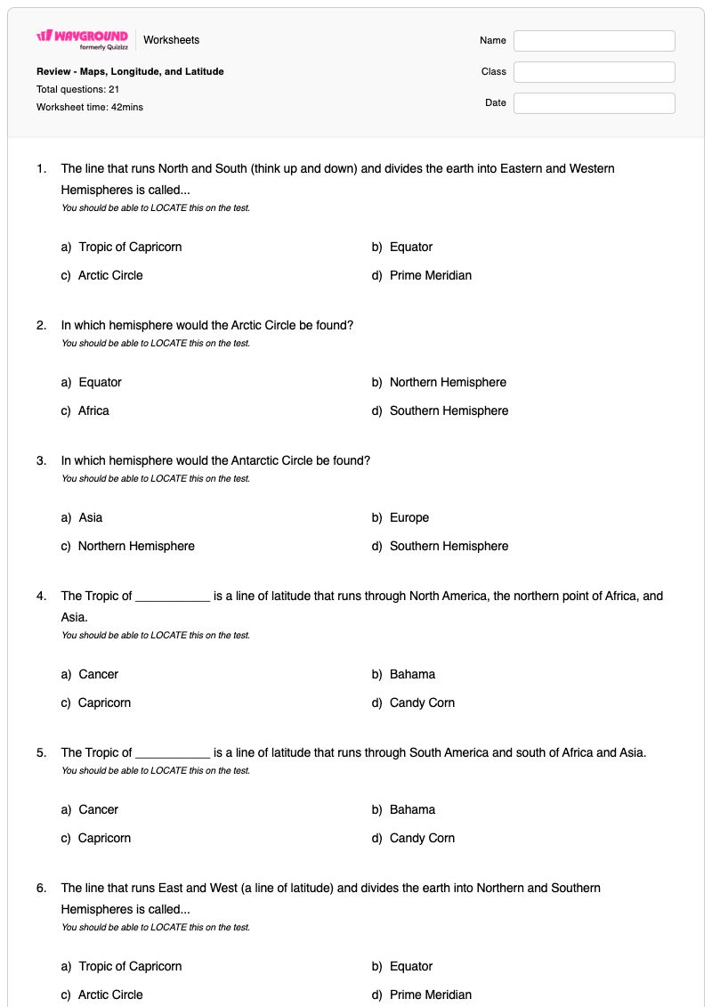
แบบฝึกหัดที่ดาวน์โหลดได้ฟรีนี้ ออกแบบมาสำหรับนักเรียนวิชาสังคมศึกษา ชั้นประถมศึกษาปีที่ 6 เพื่อทบทวนเรื่องแผนที่ เส้นลองจิจูด และเส้นละติจูด ประกอบด้วยคำถามแบบเลือกตอบ 21 ข้อ ที่ให้นักเรียนระบุและระบุตำแหน่งของเส้นเมริเดียนหลัก เส้นศูนย์สูตร เส้นทรอปิกออฟแคนเซอร์ เส้นทรอปิกออฟแคปริคอร์น วงกลมอาร์กติก วงกลมแอนตาร์กติก และขั้วโลกเหนือและขั้วโลกใต้ รวมถึงระบุซีกโลกจากแผนที่หรือทวีปต่างๆ นอกจากนี้ นักเรียนยังจะได้แยกแยะความแตกต่างระหว่างเส้นละติจูดและเส้นลองจิจูด และเชื่อมโยงคำว่าเส้นขนานและเส้นเมริเดียนกับความหมายของมัน คำถามเหล่านี้ช่วยเสริมความเข้าใจว่าเส้นทางภูมิศาสตร์หลักแบ่งโลกออกเป็นซีกโลกเหนือ ซีกโลกใต้ ซีกโลกตะวันออก และซีกโลกตะวันตก ทำให้แบบฝึกหัดนี้มีประโยชน์สำหรับการทบทวนหรือเตรียมสอบ สามารถดาวน์โหลดได้ฟรีพร้อมเฉลยคำตอบครบถ้วนเพื่อการตรวจสอบที่มีประสิทธิภาพ

การตั้งค่าแผ่นงาน

ขนาดตัวอักษร

S
M
L
XL
Waygroundแผ่นงาน

Review - Maps, Longitude, and Latitude

คำถามทั้งหมด: 21

ชื่อ
ระดับ
วันที่
1.

The line that runs North and South (think up and down) and divides the earth into Eastern and Western Hemispheres is called...

You should be able to LOCATE this on the test.

a)

Tropic of Capricorn

b)

Equator

c)

Arctic Circle

d)

Prime Meridian

2.

In which hemisphere would the Arctic Circle be found?

You should be able to LOCATE this on the test.

a)

Equator

b)

Northern Hemisphere

c)

Africa

d)

Southern Hemisphere

3.

In which hemisphere would the Antarctic Circle be found?

You should be able to LOCATE this on the test.

a)

Asia

b)

Europe

c)

Northern Hemisphere

d)

Southern Hemisphere

4.

The Tropic of ___________ is a line of latitude that runs through North America, the northern point of Africa, and Asia.

You should be able to LOCATE this on the test.

a)

Cancer

b)

Bahama

c)

Capricorn

d)

Candy Corn

5.

The Tropic of ___________ is a line of latitude that runs through South America and south of Africa and Asia.

You should be able to LOCATE this on the test.

a)

Cancer

b)

Bahama

c)

Capricorn

d)

Candy Corn

6.

The line that runs East and West (a line of latitude) and divides the earth into Northern and Southern Hemispheres is called...

You should be able to LOCATE this on the test.

a)

Tropic of Capricorn

b)

Equator

c)

Arctic Circle

d)

Prime Meridian

7.

The _______ Pole is the southern most point on a globe.

For the test, you should be able to LOCATE this.

a)

North

b)

South

c)

West

d)

East

8.

The _______ Pole is the northern most point on a globe.

For the test, you should be able to LOCATE this.

a)

North

b)

South

c)

West

d)

East

9.

North and South America are both in the ________ Hemisphere.

For the test, you should be able to identify the hemisphere based on the continents shown.

a)

Northern

b)

Southern

c)

Eastern

d)

Western

10.

Asia is in the ________ Hemisphere.

For the test, you should be able to identify the hemisphere based on the continents shown.

a)

Northern

b)

Southern

c)

Eastern

d)

Western

11.

The ________ Hemisphere is all of the area south of the equator.

For the test, you should be able to identify the hemisphere when shown a map.

a)

Northern

b)

Southern

c)

Eastern

d)

Western

12.

The ________ Hemisphere is all of the area north of the equator.

For the test, you should be able to identify the hemisphere when shown a map.

a)

Northern

b)

Southern

c)

Eastern

d)

Western

13.

Meridians are another name for ...

a)

Latitude Line

b)

Perpendicular Lines

c)

Hemispheres

d)

Longitude Lines

14.

Parallels are another name for ...

a)

Latitude Lines

b)

Perpendicular Lines

c)

Hemispheres

d)

Longitude Lines

15.

The Prime Meridian divides the world into...

a)

North and East

b)

East and West

c)

North and South

d)

West and South

16.

The lines that "run" East to West are called..

a)

Imaginary

b)

Equators

c)

Longitude

d)

Latitude

17.

What is the area called between the Tropic of Capricorn and the Tropic of Cancer?

a)

The Meridians

b)

The Danger Zone

c)

The Tropics

d)

The Bermuda Triangle

18.

The line of latitude in the Southern Hemisphere where the sun can be DIRECTLY overhead is called the..

a)

The South Pole

b)

The Equator

c)

The Tropic of Cancer

d)

Tropic of Capricorn

19.

The line of latitude in the Northern Hemisphere where the sun can be DIRECTLY overhead is called the..

a)

The South Pole

b)

The Equator

c)

The Tropic of Cancer

d)

Tropic of Capricorn

20.

The Equator divides the world into...

a)

North and East

b)

East and West

c)

North and South

d)

West and South

21.

Lines that "run" North and South are called...

a)

Longitude

b)

Equator

c)

Meridian Thingy

d)

Latitude

Waygroundแป้นคำตอบ

Review - Maps, Longitude, and Latitude

คำถามทั้งหมด: 21

1.
d)

Prime Meridian

2.
b)

Northern Hemisphere

3.
d)

Southern Hemisphere

4.
a)

Cancer

5.
c)

Capricorn

6.
b)

Equator

7.
b)

South

8.
a)

North

9.
d)

Western

10.
c)

Eastern

11.
b)

Southern

12.
a)

Northern

13.
d)

Longitude Lines

14.
a)

Latitude Lines

15.
b)

East and West

16.
d)

Latitude

17.
c)

The Tropics

18.
d)

Tropic of Capricorn

19.
c)

The Tropic of Cancer

20.
c)

North and South

21.
a)

Longitude

คำถามที่พบบ่อย

แบบฝึกหัดเกี่ยวกับแผนที่ เส้นลองจิจูด และเส้นละติจูดนี้ครอบคลุมเรื่องอะไรบ้าง?

แบบฝึกหัดวิชาสังคมศึกษา ชั้นประถมศึกษาปีที่ 6 นี้ ประกอบด้วยคำถามแบบเลือกตอบ 21 ข้อ เพื่อทบทวนตำแหน่งและความหมายของเส้นทางภูมิศาสตร์ที่สำคัญ ได้แก่ เส้นศูนย์สูตร เส้นเมริเดียนหลัก เขตร้อน และวงกลมอาร์กติกและแอนตาร์กติก นักเรียนยังจะได้ระบุขั้วโลกเหนือและขั้วโลกใต้ กำหนดซีกโลกจากทวีปหรือแผนที่ และแยกแยะความแตกต่างระหว่างเส้นละติจูดและเส้นขนานกับเส้นลองจิจูดและเส้นเมริเดียน

ฉันจะใช้แบบฝึกหัดนี้ในการสอนเรื่องละติจูด ลองจิจูด และซีกโลกได้อย่างไร?

เริ่มต้นด้วยลูกโลกหรือแผนที่โลก แล้วให้นักเรียนลากเส้นตามเส้นศูนย์สูตรและเส้นเมริเดียนหลัก พร้อมอธิบายว่าเส้นแต่ละเส้นนั้นอยู่ในซีกโลกใด จากนั้นแนะนำเขตร้อน วงกลมขั้วโลก และขั้วโลก ก่อนที่จะมอบหมายคำถามแบบเลือกตอบเป็นแบบฝึกหัดนำทาง โดยขอให้นักเรียนอธิบายว่าทำไมเส้นหรือทวีปที่เลือกจึงอยู่ในซีกโลกใด

ฉันควรสังเกตข้อผิดพลาดอะไรบ้างเมื่อนักเรียนทำแบบฝึกหัดนี้เสร็จ?

นักเรียนอาจสับสนระหว่างเส้นศูนย์สูตร ซึ่งแบ่งซีกโลกเหนือและซีกโลกใต้ กับเส้นเมริเดียนหลัก ซึ่งแบ่งซีกโลกตะวันออกและซีกโลกตะวันตก นอกจากนี้ควรระวังการสลับกันระหว่างละติจูดและลองจิจูด เส้นขนานและเส้นเมริเดียน และเส้นทรอปิกออฟแคนเซอร์และเส้นทรอปิกออฟแคปริคอร์น คำถามเกี่ยวกับทวีปอาจเผยให้เห็นความสับสนระหว่างซีกโลกตะวันออก/ตะวันตก และซีกโลกเหนือ/ใต้

ฉันจะมอบหมายและให้คะแนนแบบฝึกหัดเรื่องแผนที่ เส้นลองจิจูด และเส้นละติจูดนี้ได้อย่างไร?

Wayground จัดเตรียมแบบฝึกหัดนี้ในรูปแบบไฟล์ PDF ที่สามารถพิมพ์ได้ และแบบทดสอบดิจิทัล พร้อมเฉลยคำตอบครบถ้วนสำหรับคำถามแบบเลือกตอบทั้ง 21 ข้อ คุณสามารถมอบหมายแบบทดสอบดิจิทัลผ่าน Wayground เพื่อให้ครูตรวจ หรือตรวจแบบฝึกหัดที่พิมพ์ได้โดยการสแกนงานของนักเรียนด้วยแอป Wayground for Teachers

ฉันจะปรับแบบฝึกหัดนี้ให้เหมาะสมกับนักเรียนของฉันได้อย่างไร?

ในส่วนการตั้งค่าขั้นสูงของแบบฝึกหัด ให้ปรับระยะห่างระหว่างตัวอักษรและขนาดตัวอักษรเพื่อให้คำศัพท์ทางภูมิศาสตร์และตัวเลือกแบบปรนัยอ่านง่ายขึ้น นอกจากนี้ คุณยังสามารถใช้แบบอักษรที่เหมาะสำหรับผู้ที่มีภาวะดิสเล็กเซีย หรือแปลแบบฝึกหัดเป็นภาษาอื่นโดยคงคำถามเกี่ยวกับละติจูด ลองจิจูด เส้นศูนย์สูตร ขั้วโลก และซีกโลกไว้เหมือนเดิม

ฉันจะหาแบบฝึกหัดแบบนี้เพิ่มเติมได้ที่ไหนบน Wayground?

Wayground นำเสนอชุดแบบฝึกหัดและโจทย์ฝึกหัดฟรีที่ครอบคลุมทุกวิชา พร้อมไฟล์ PDF และเฉลยคำตอบ เพื่อช่วยเสริมสร้างทักษะและความเข้าใจในแนวคิดสำคัญ ดูแหล่งข้อมูลเพิ่มเติมได้ที่ https://wayground.com/en-us/worksheets