Search Header Logo
16.1 Physical Geography of East Asia

16.1 Physical Geography of East Asia

Assessment

Presentation

Geography

9th - 12th Grade

Practice Problem

Medium

Used 6+ times

FREE Resource

13 Slides • 17 Questions

1

media

2

media

3

Multiple Choice

Question image

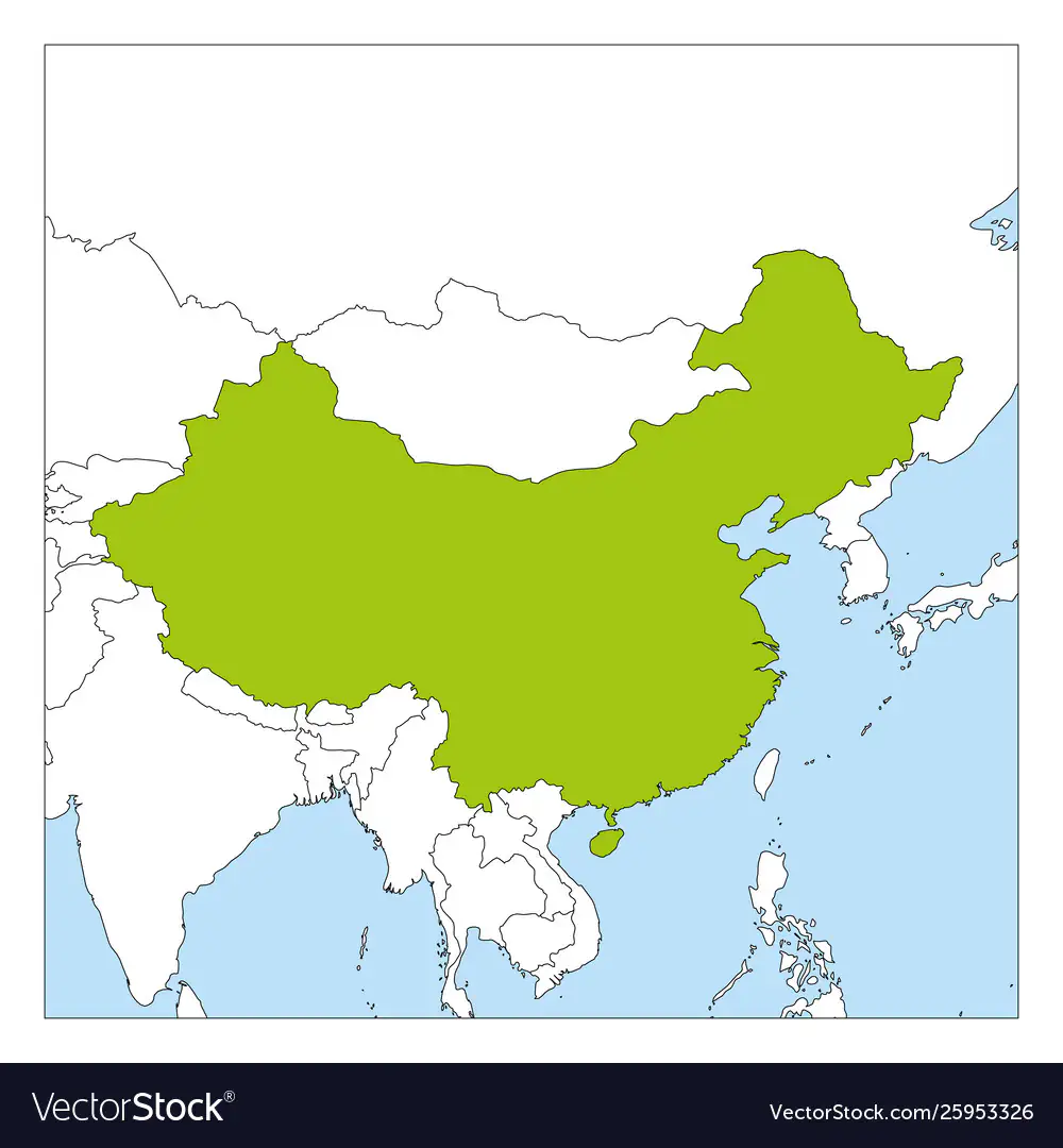
Name the country in green.

1

China

2

Mongolia

3

India

4

South Korea

4

Multiple Choice

Question image

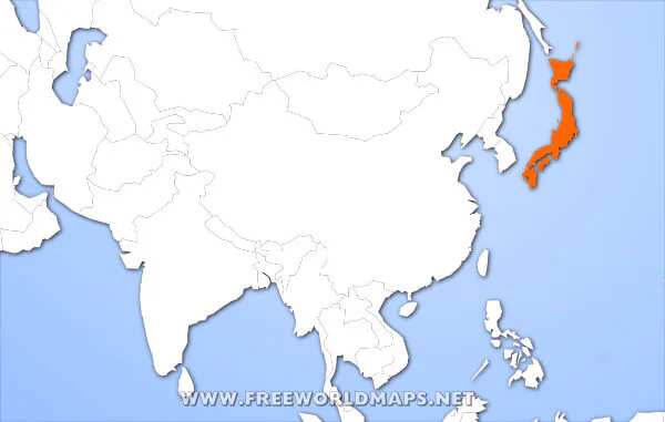
What archipelago country is highlighted in orange?

1

Japan

2

Indonesia

3

China

4

Philippines

5

Multiple Choice

Question image

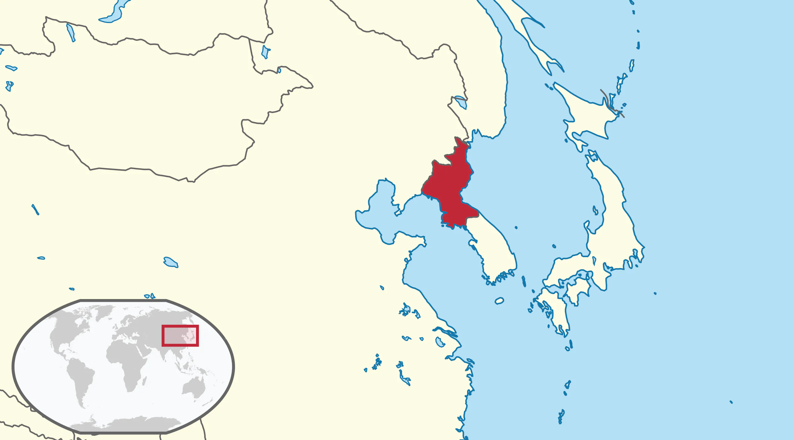
What country is shown in red?

1

North Korea

2

South Korea

3

Japan

4

Vietnam

6

Multiple Choice

Question image

What nation is highlighted on the map?

1

China

2

Mongolia

3

South Korea

4

North Korea

7

Multiple Choice

Question image

What nation is highlighted on the map?

1

South Korea

2

North Korea

3

Mongolia

4

Taiwan

8

Multiple Choice

Largest continent in the world

1

Asia

2

China

3

Japan

4

Europe

9

Multiple Choice

Question image

Identify the number on the map...

1

Taiwan

2

China

3

Japan

4

South Korea

10

media

11

Open Ended

How were the mountains in this region formed?


12

media

13

media

14

media

15

media

16

media

17

media

18

media

19

Open Ended

How might China’s three large river systems have affected the development of agriculture and trade in the area?


20

media

21

media

22

Open Ended

What mineral resources are available in China?

23

media

24

Open Ended

What are China’s river systems used for?


25

Open Ended

How might the river basins of China have affected settlement patterns?

26

Multiple Choice

One of the largest deserts in the world

Covers more than 500,000 square miles

Larger than Texas and California combined

1

Syrian Desert

2
Gobi Desert
3
Kalahari Desert
4
Atacama Desert

27

Multiple Choice

The Huang He River in northern China is also called the...

1
Blue River
2
Green River
3
Red River
4
Yellow River

28

Multiple Choice

The longest river in Asia, flowing about 3,900 miles from Xizang (Tibet) to the East China Sea

1
Mekong River
2
Ganges River
3
Yangtze River
4
Indus River

29

Multiple Choice

Was constructed to control flooding of Chang Jiang in China?

1
Yangtze River Dam
2
Hoover Dam
3
Aswan High Dam
4
Three Gorges Dam

30

Multiple Choice

North and South Korea are located on what landform?
1
peninsula
2
valley
3
island
4
plateau
media

Show answer

Auto Play

Slide 1 / 30

SLIDE