Free Printable Map Elements Worksheets for Class 1
Class 1 map elements worksheets help young students learn basic geography skills through engaging printables that teach compass directions, symbols, and legends with comprehensive answer keys for effective practice.
Explore printable Map Elements worksheets for Class 1
Map elements worksheets for Class 1 students available through Wayground (formerly Quizizz) provide young learners with essential foundational skills in geographical literacy and spatial awareness. These carefully designed printables introduce first graders to fundamental map components including compass roses, legends, symbols, and basic directional concepts through age-appropriate activities and practice problems. The worksheets strengthen critical thinking abilities as students learn to interpret visual information, understand symbolic representation, and develop early navigation skills that form the cornerstone of geographic understanding. Each resource includes comprehensive answer keys and is available in convenient pdf format, allowing educators to seamlessly integrate free, high-quality materials that build students' confidence in reading and using maps while establishing crucial connections between their immediate environment and the broader world.
Wayground (formerly Quizizz) empowers educators with access to millions of teacher-created map elements resources specifically curated for Class 1 learners, featuring robust search and filtering capabilities that streamline lesson planning and instructional preparation. The platform's extensive collection supports standards alignment while offering powerful differentiation tools that enable teachers to customize worksheets based on individual student needs and varying ability levels. Whether educators require printable materials for hands-on classroom activities or digital formats for interactive learning experiences, the flexible customization options facilitate targeted skill practice, effective remediation for struggling learners, and meaningful enrichment opportunities for advanced students. This comprehensive approach to map elements instruction ensures that teachers can efficiently address diverse learning styles while building students' foundational geography skills through systematic, engaging practice that supports both immediate understanding and long-term academic success.
FAQs
How do I teach map elements to students who have never read a map before?
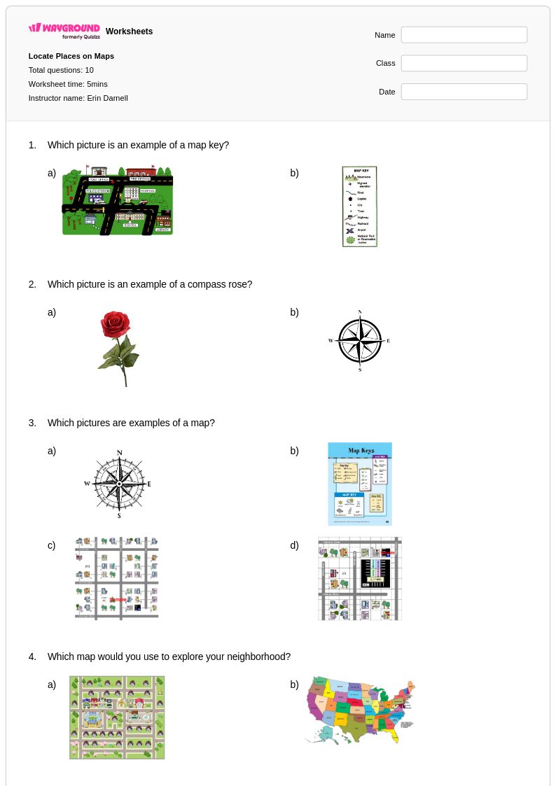
Start by introducing one element at a time, beginning with the title and compass rose before moving to legends, scales, and grids. Anchor each element to a real-world purpose — for example, explain that a legend is like a key that unlocks the meaning of every symbol on the map. Once students understand each component individually, use a single reference map that contains all elements and have them identify each one in context. Building this layered familiarity before asking students to apply skills like calculating distance or locating coordinates significantly reduces confusion.
What exercises help students practice reading map scales and calculating distances?
Effective practice starts with having students measure the distance between two labeled points using a ruler, then convert that measurement using the given scale ratio or bar scale. Gradually increase complexity by asking students to calculate multi-segment routes or estimate real-world distances across different map types. Map elements worksheets that include structured practice problems with answer keys allow students to self-check their work and identify where their calculations go wrong, which reinforces the procedural steps rather than just the final answer.
What mistakes do students commonly make when interpreting map legends?
One of the most common errors is assuming that symbols are universal — students often apply meanings from one map's legend to a different map without checking. Another frequent mistake is ignoring the legend entirely and guessing at symbol meanings based on appearance, which leads to systematic misreadings. Students also struggle to distinguish between area symbols (like shading used to show land use) and point symbols (like icons marking cities), treating them as interchangeable. Targeted practice with varied legend formats helps students develop the habit of consulting the legend first before interpreting any map feature.
How can I differentiate map elements instruction for students at different skill levels?
For students who are still building foundational skills, reduce the number of map elements introduced at once and provide maps with simpler layouts and fewer symbols. More advanced students can work with maps that include coordinate grids, multiple projection types, and complex legends requiring multi-step interpretation. On Wayground, teachers can apply accommodations such as reduced answer choices to lower cognitive load for individual students, or enable Read Aloud so that questions and content are read to students who need additional support, all without disrupting the rest of the class.
How do I use Wayground's map elements worksheets in my classroom?
Wayground's map elements worksheets are available as printable PDFs for traditional classroom use and in digital formats for technology-integrated environments, giving teachers flexibility depending on their setup. Teachers can also host worksheets directly as a quiz on Wayground, which allows for real-time student interaction and progress tracking. Each worksheet includes a complete answer key, making them practical for independent practice, guided instruction, or remediation sessions without additional prep work.
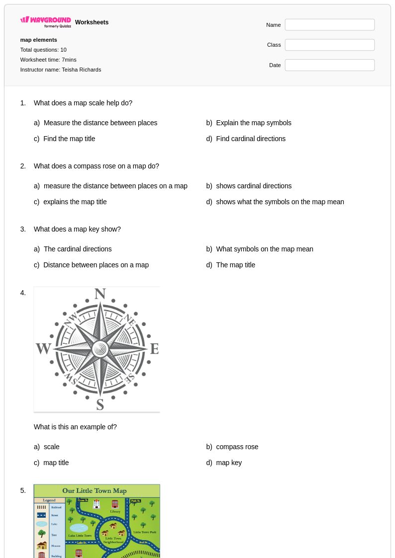
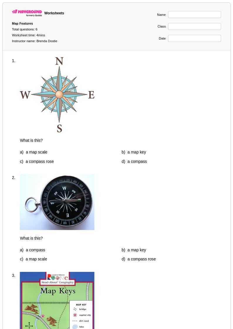
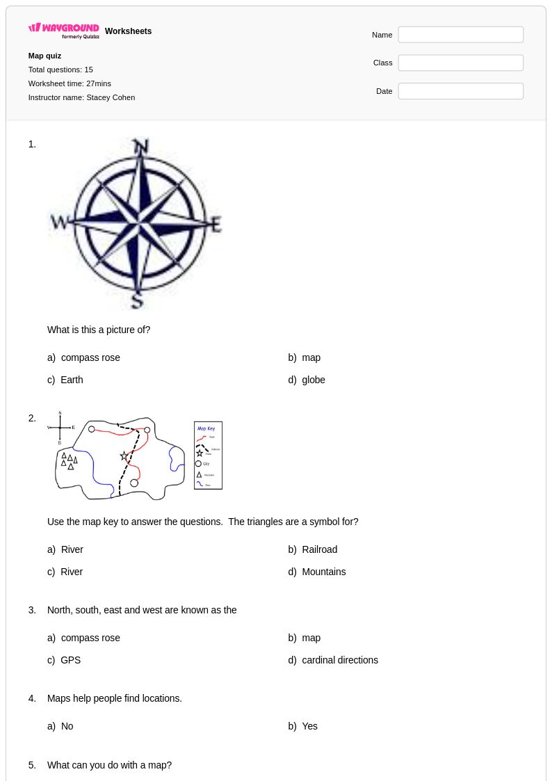
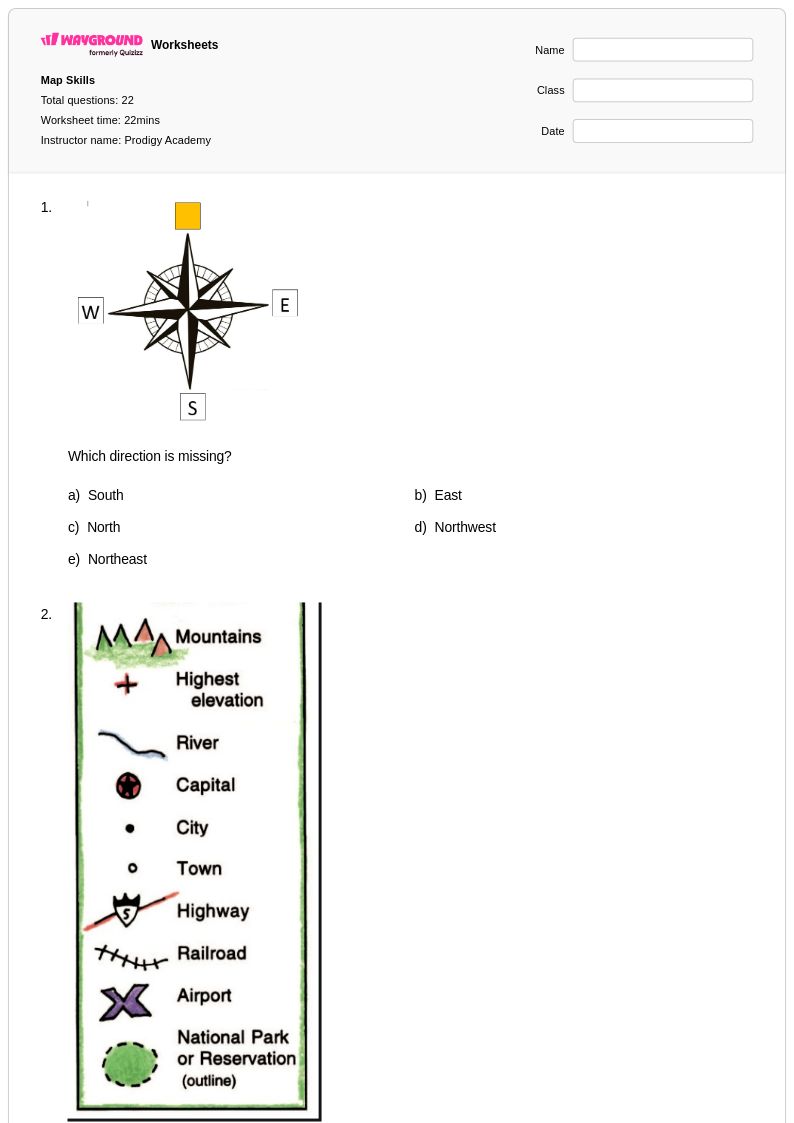
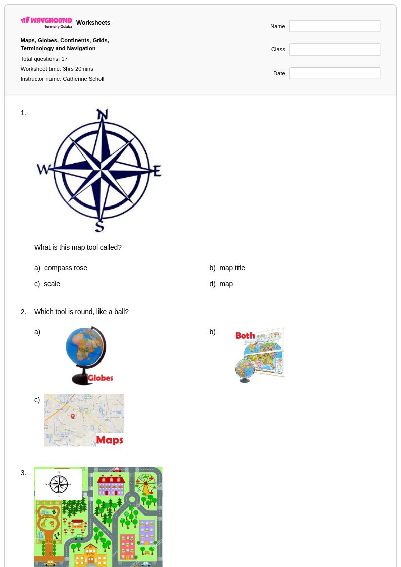
How do I use a compass rose to teach cardinal and intermediate directions?
Begin with the four cardinal directions — north, south, east, and west — before introducing the four intermediate directions (northeast, northwest, southeast, southwest). Use a physical or projected compass rose and have students practice giving directions between labeled points on a simple map. A common anchor phrase like 'Never Eat Soggy Waffles' helps students recall clockwise cardinal order, but pairing it with actual navigation tasks on a map reinforces the concept spatially rather than just mnemonically. Once cardinal directions are secure, intermediate directions can be introduced as combinations of the two adjacent cardinals.