Explore Wayground's free orienteering worksheets and printables that help students master compass navigation, map reading skills, and outdoor adventure techniques through engaging practice problems with comprehensive answer keys.
Orienteering worksheets available through Wayground (formerly Quizizz) provide comprehensive resources for developing essential navigation and outdoor adventure skills in physical education programs. These expertly designed materials focus on map reading fundamentals, compass navigation techniques, terrain interpretation, and route planning strategies that form the foundation of successful orienteering practice. Students engage with practice problems that challenge them to identify topographical features, calculate bearings, and plot efficient courses through varied landscapes. Each worksheet includes detailed answer keys that enable both independent learning and guided instruction, while the free printable format ensures accessibility for all classroom environments. The materials systematically build competency in reading contour lines, understanding map symbols, triangulation methods, and safety protocols essential for outdoor navigation activities.
Wayground (formerly Quizizz) empowers physical education teachers with millions of teacher-created orienteering resources that support comprehensive outdoor education programming. The platform's robust search and filtering capabilities allow educators to quickly locate materials aligned with specific curriculum standards and skill development objectives, while differentiation tools enable customization for diverse learning needs and experience levels. Teachers can access these resources in both printable pdf formats for traditional classroom use and digital formats for interactive learning experiences. This flexibility proves invaluable for lesson planning, targeted skill remediation, and enrichment activities that extend beyond basic map and compass work. The extensive collection supports progressive skill development from introductory navigation concepts through advanced orienteering techniques, providing educators with the resources needed to build confident, safety-conscious outdoor adventurers.
FAQs
How do I teach orienteering to students who have never used a compass before?
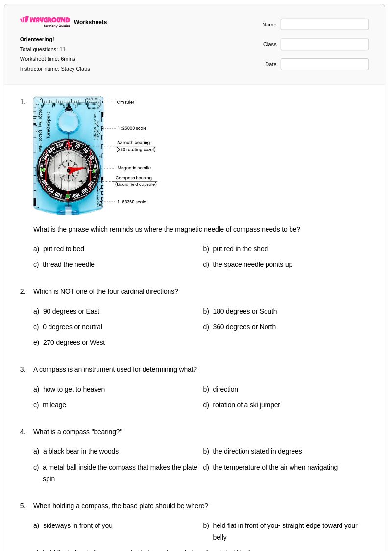
Start by grounding students in the relationship between a compass and a map before taking them outdoors. Teach them to identify the needle, housing, and baseplate, then practice taking bearings from fixed classroom landmarks before applying those skills to a printed map. Structured worksheets that walk through compass use step-by-step help students build confidence with the tool before they face the complexity of real terrain.
What exercises help students practice reading topographic maps for orienteering?
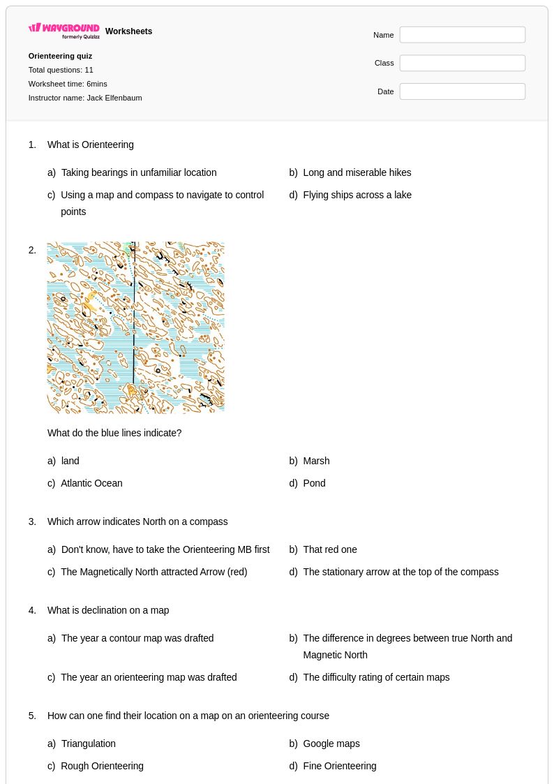
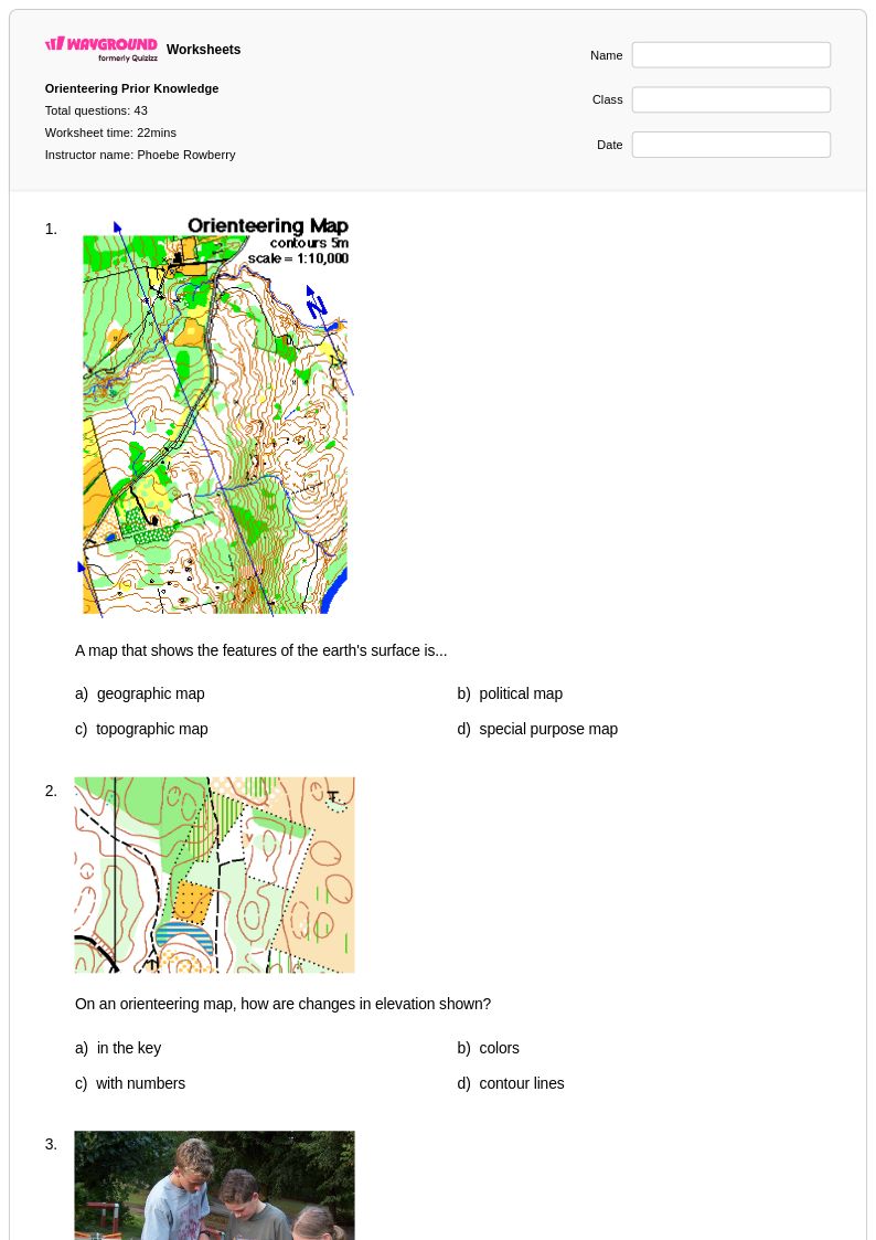
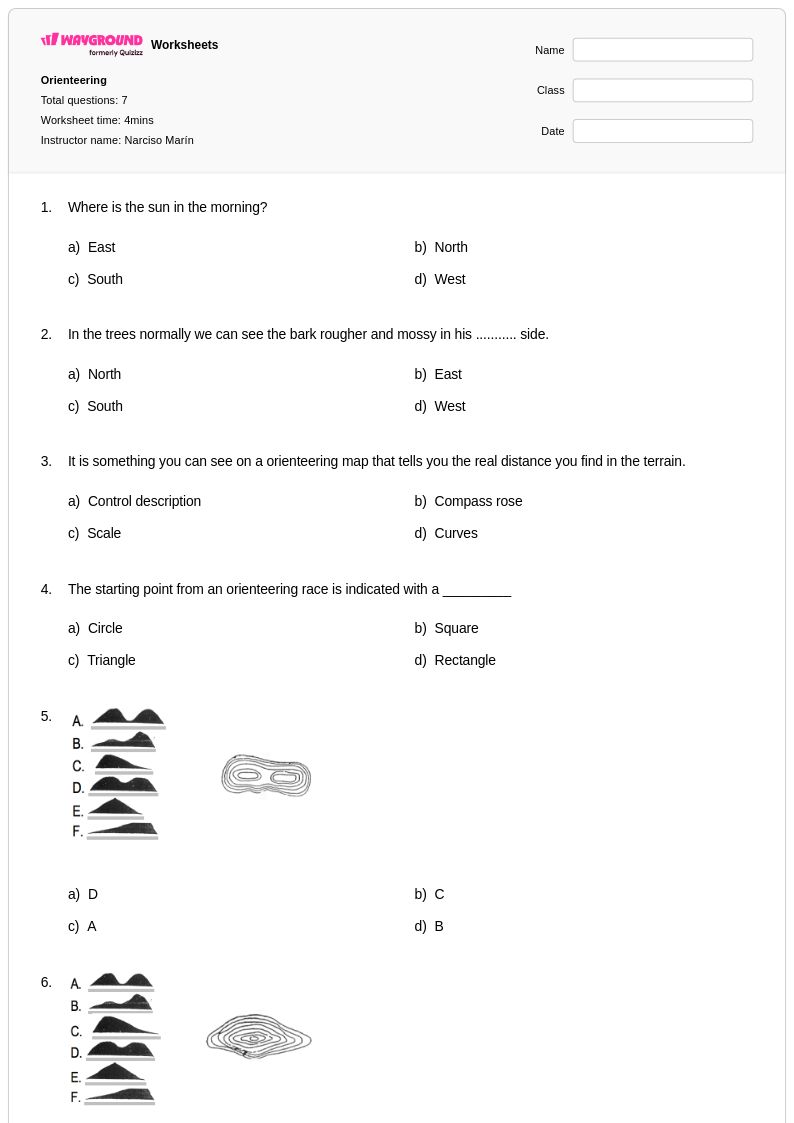
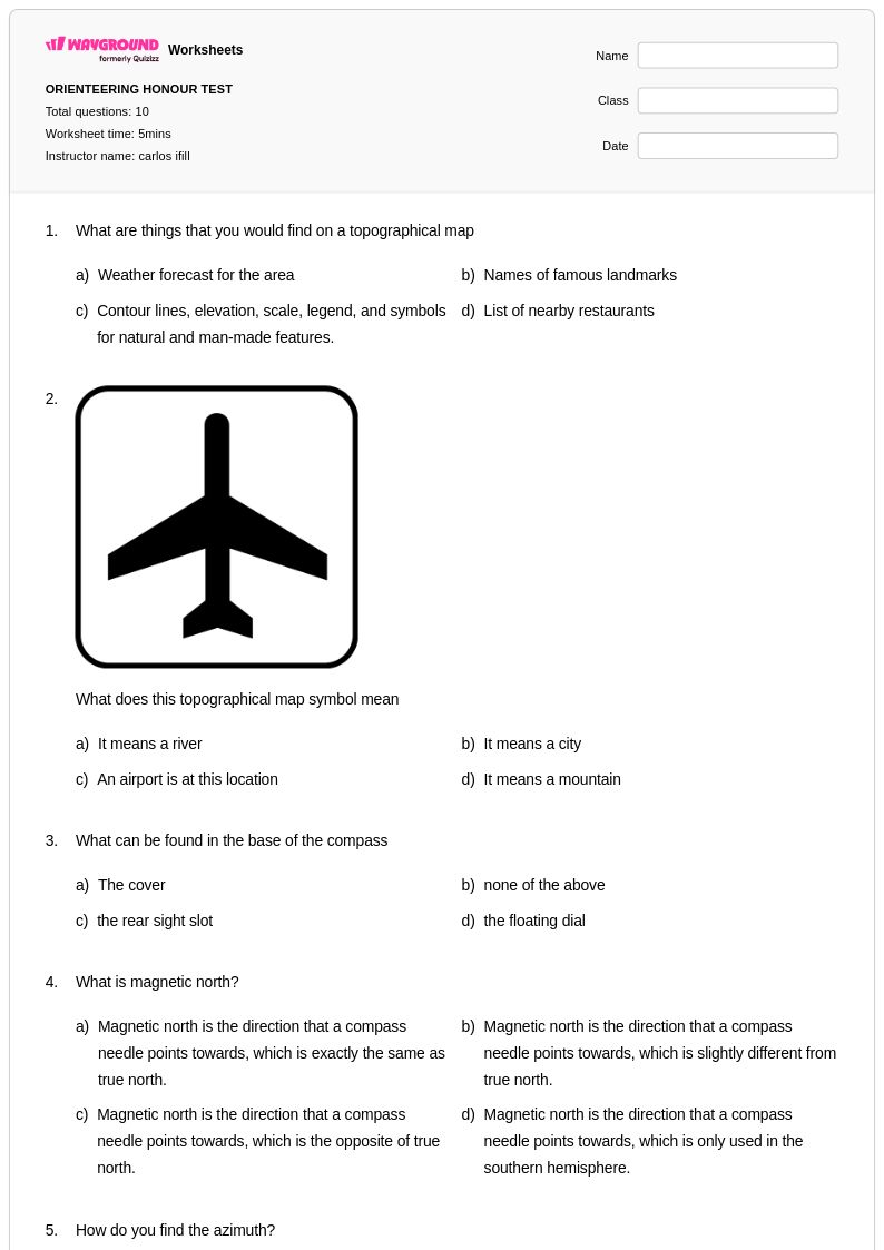
Effective practice involves having students interpret contour lines to identify ridges, valleys, and elevation changes, then match those features to a physical or illustrated landscape. Exercises that ask students to plot a route between two points while avoiding steep terrain or water features reinforce both map reading and strategic thinking. Worksheets that include map symbol identification, bearing calculations, and course planning problems give students repeated, structured exposure to the full skill set orienteering demands.
What mistakes do students commonly make when learning compass navigation?
The most frequent error is confusing magnetic north with map north, which throws off bearing calculations entirely. Students also commonly rotate the compass housing without accounting for declination, or they read the wrong end of the needle. A related mistake is holding the compass near metal objects or electronic devices, which causes inaccurate readings. Practice problems that require students to show their bearing calculations step-by-step help surface and correct these errors early.
How do I differentiate orienteering instruction for students with varying experience levels?
For beginners, focus on map symbol recognition and simple point-to-point navigation with clear landmarks. More experienced students can work on triangulation, attack point strategy, and route choice problems that involve trade-offs between distance and terrain difficulty. On Wayground, teachers can apply accommodations such as reduced answer choices to lower the cognitive load for students who need additional support, or enable Read Aloud for students who benefit from audio delivery of instructions.
How can I use Wayground's orienteering worksheets in my PE class?
Wayground's orienteering worksheets are available as printable PDFs for use in traditional classroom or gymnasium settings, and in digital formats for technology-integrated lessons, including the option to host them as a quiz directly on Wayground. This makes them practical for pre-activity instruction, post-activity reflection, or indoor lesson days when outdoor access is limited. The included answer keys support both teacher-led review and independent student work, so they fit naturally into a range of lesson structures.
How do I assess whether students understand orienteering safety protocols?
Safety knowledge in orienteering includes understanding boundary rules, whistle signals, what to do if lost, and how to read terrain for hazards. Assessment should go beyond recall and ask students to apply protocols to scenario-based problems, such as deciding the correct response when a course marker is missing or when a partner is injured. Worksheets that embed safety questions within broader navigation tasks help teachers gauge whether students can integrate safety thinking into real decision-making, not just recite rules in isolation.