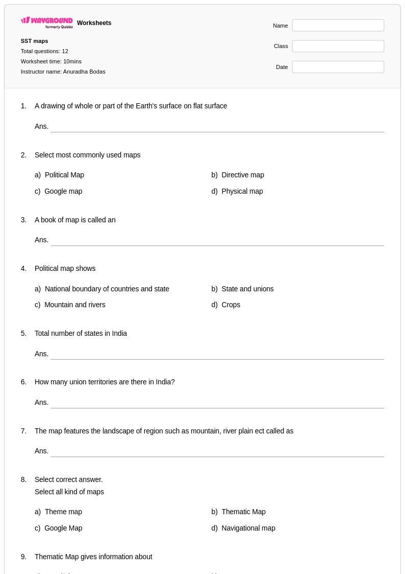
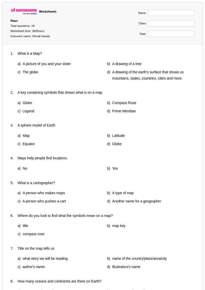
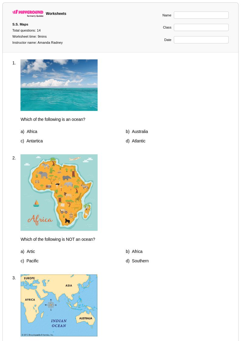
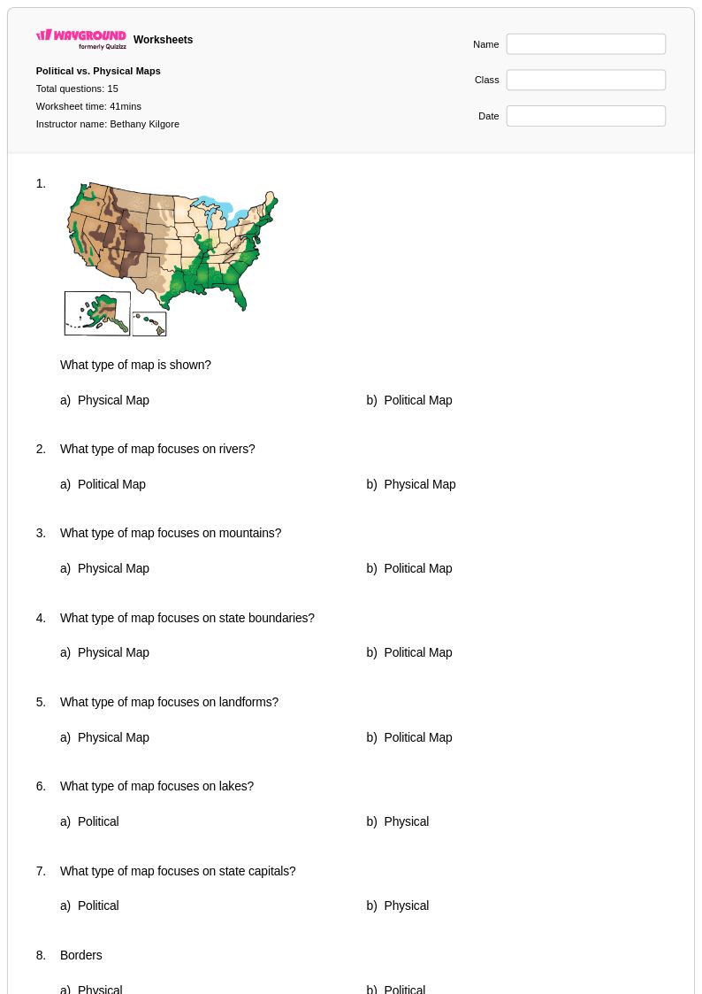
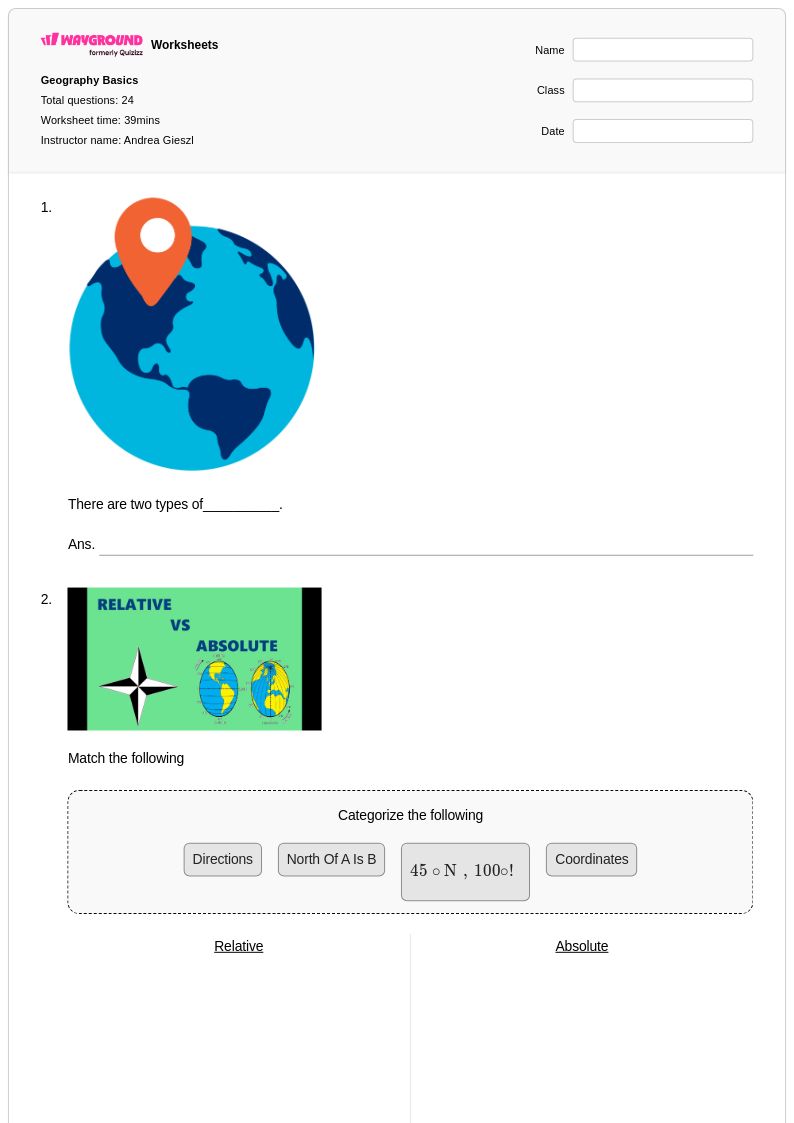
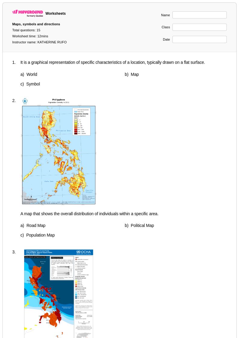
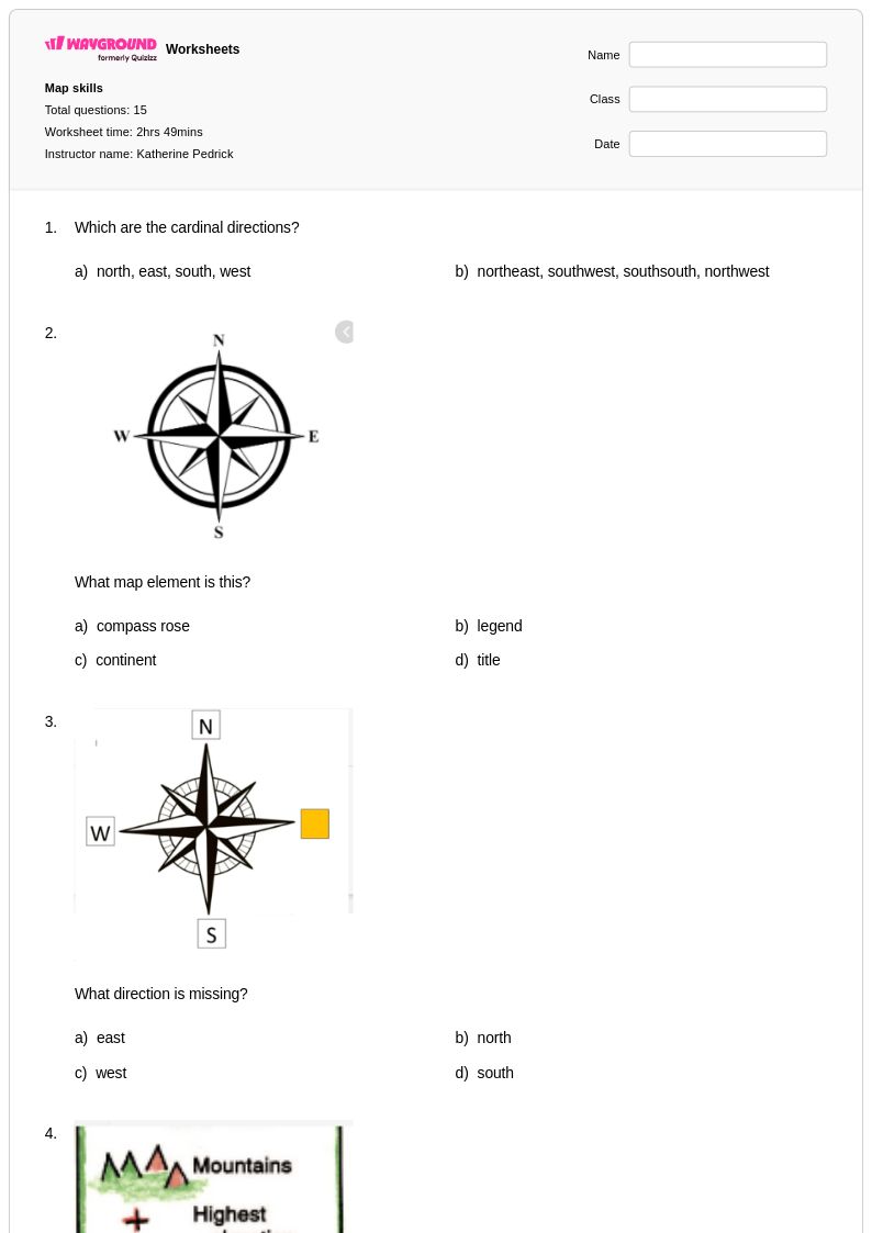
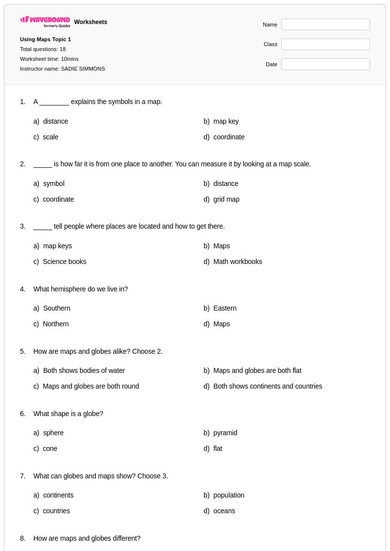
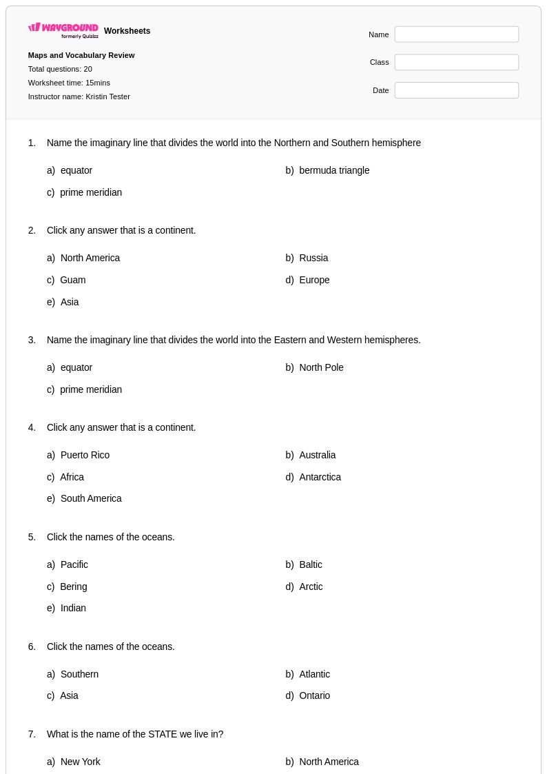
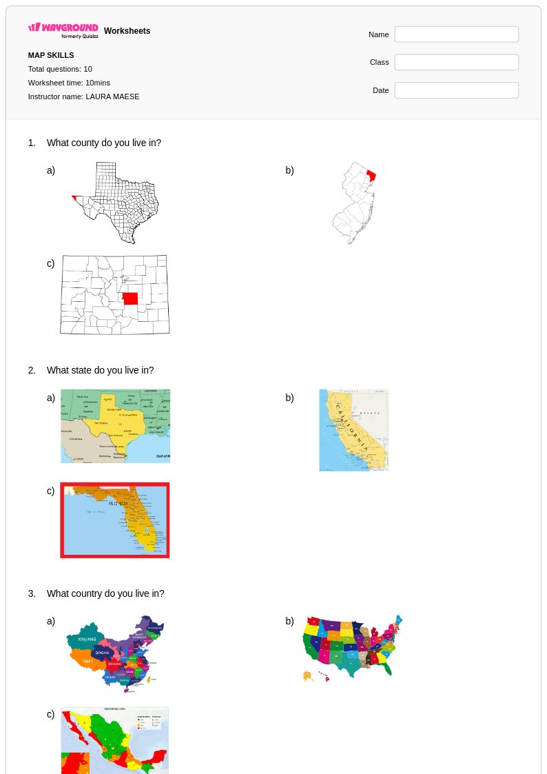
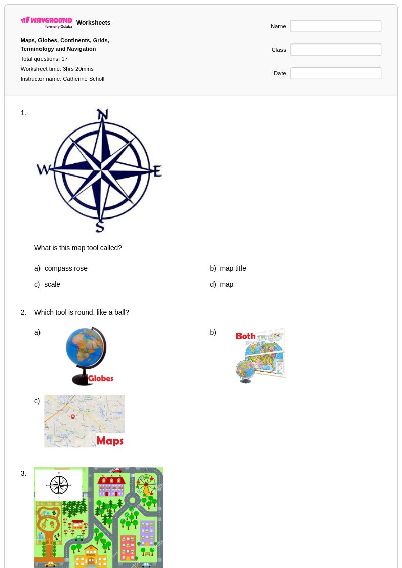
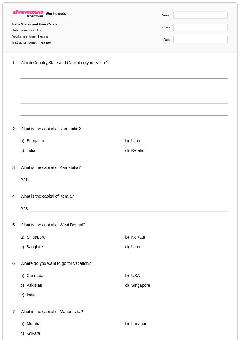
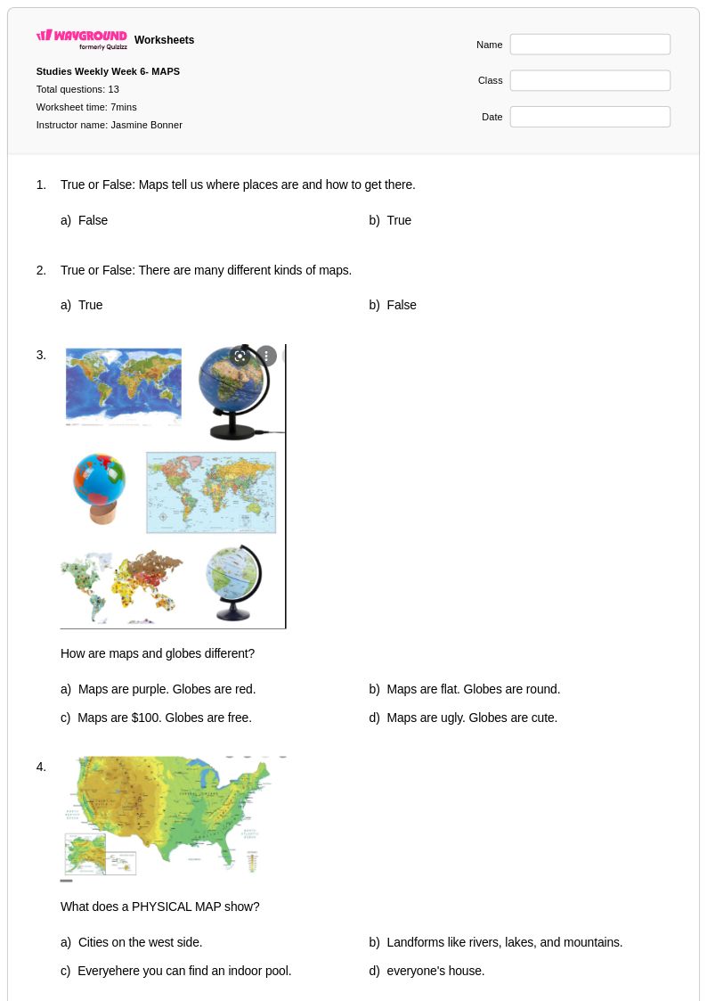
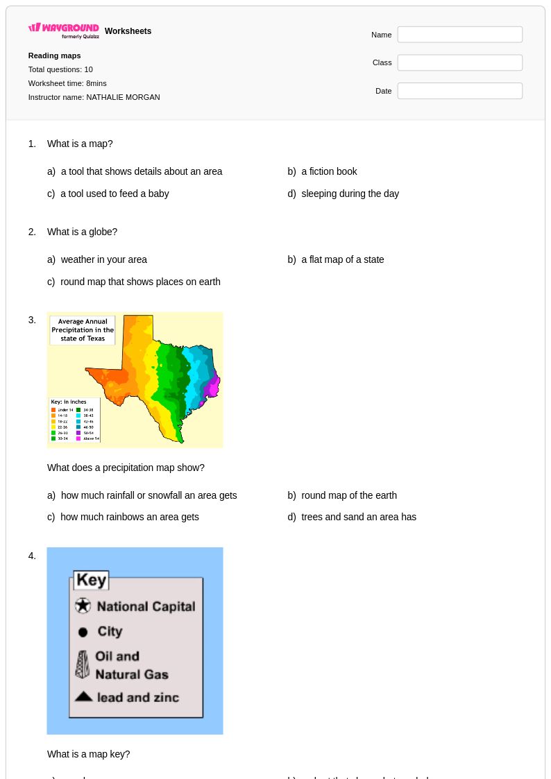
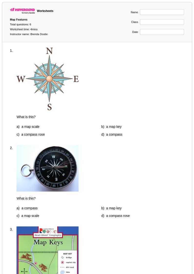
Explore Class 2 state maps worksheets and free printables that help young learners identify states, practice geography skills, and discover America through engaging activities with answer keys included.
Explore printable State Maps worksheets for Class 2
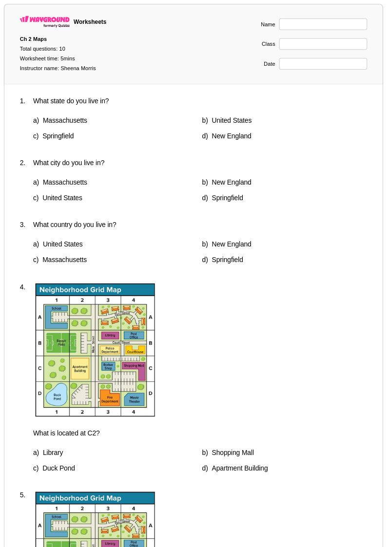
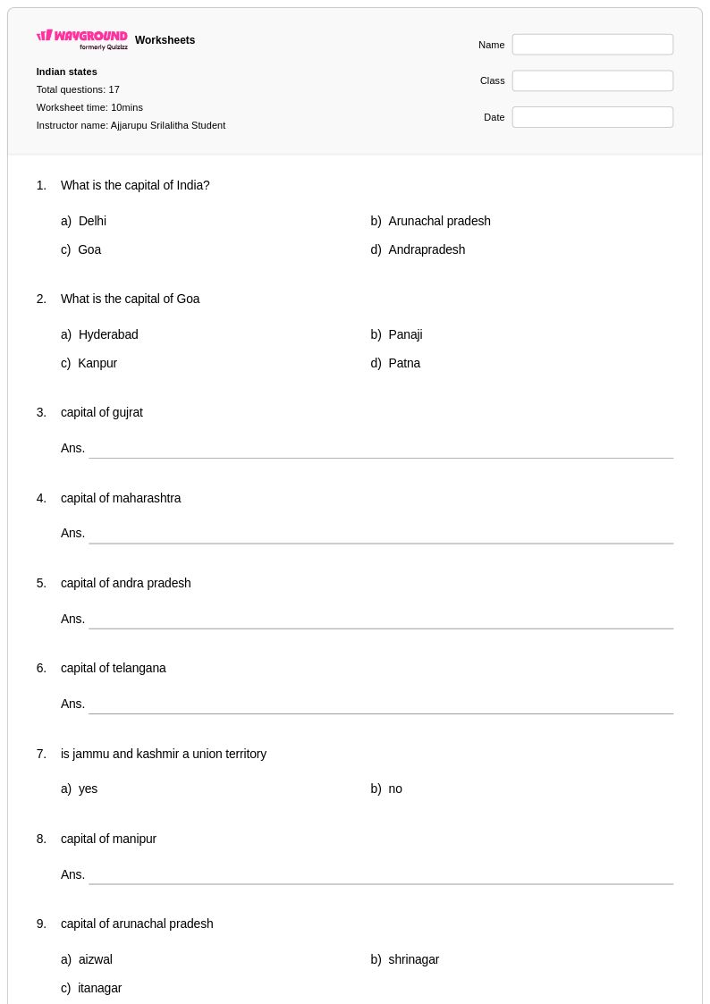
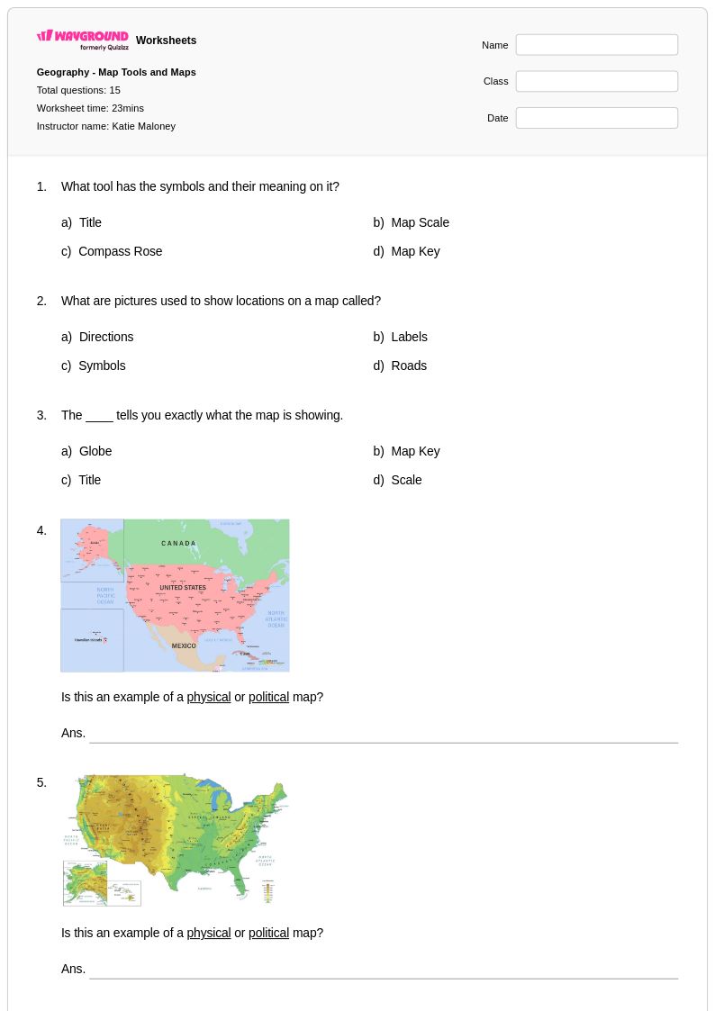
State maps worksheets for Class 2 students available through Wayground (formerly Quizizz) provide young learners with essential foundation skills in geographic literacy and spatial reasoning. These carefully designed printables introduce second graders to the basic concepts of state identification, boundaries, and relative locations within the United States through age-appropriate activities and practice problems. Students develop critical map-reading abilities as they work with simplified state outlines, practice identifying neighboring states, and begin to understand the relationship between maps and real-world geography. Each worksheet includes a comprehensive answer key to support both independent learning and guided instruction, while the free pdf format ensures easy access for classroom use and home practice.
Wayground's extensive collection of teacher-created state maps resources offers educators millions of high-quality materials specifically designed to meet Class 2 learning objectives and curriculum standards. The platform's robust search and filtering capabilities allow teachers to quickly locate worksheets that match their specific instructional needs, whether for whole-class lessons, small group activities, or individualized practice sessions. These versatile materials are available in both printable and digital formats, enabling seamless integration into any learning environment while supporting differentiated instruction for diverse student abilities. Teachers can easily customize worksheets to provide targeted remediation for struggling learners, enrichment opportunities for advanced students, and regular skill practice that builds geographic knowledge progressively throughout the school year.
FAQs
How do I teach students to read and interpret state maps?
Start by teaching map components in isolation: political boundaries, state capitals, major cities, rivers, and mountain ranges. Once students can identify individual features, move to integrated reading tasks where they must use multiple map elements together to answer geographic questions. Connecting map features to real-world context, such as why major cities often develop near rivers or along coasts, helps students build durable spatial reasoning rather than just memorizing locations.
What exercises help students practice U.S. state geography?
Effective practice tasks include labeling blank state maps with capitals and major cities, identifying rivers and mountain ranges from physical maps, and answering questions that require interpreting political boundaries and regional relationships. Repeated low-stakes practice with immediate feedback, such as self-checking against answer keys, is particularly effective for building fluency with state-specific geographic details.
What common mistakes do students make when working with state maps?
Students frequently confuse state capitals with the largest or most well-known city in a state, such as assuming New York City is New York's capital or Los Angeles is California's capital. They also tend to misidentify rivers as state boundaries when rivers only partially define a border, and they often struggle to distinguish between physical features like mountain ranges and political features like county or state lines when both appear on the same map.
How can I differentiate state maps instruction for students at different skill levels?
For students who need additional support, reduce the number of features being labeled at one time and start with highly recognizable states before moving to less familiar ones. On Wayground, teachers can apply accommodations such as reduced answer choices and read-aloud support to individual students, lowering cognitive load without disrupting the rest of the class. More advanced students can be challenged with tasks that require interpreting spatial relationships between features rather than simple identification.
How do I use Wayground's state maps worksheets in my classroom?
Wayground's state maps worksheets are available as printable PDFs for traditional classroom use and in digital formats for technology-integrated learning environments. Teachers can assign them as in-class practice, homework, or host them as a quiz directly on Wayground to track student performance. Each worksheet includes a complete answer key, making them suitable for independent work, small-group review, or whole-class instruction.