Latin America is a free printable Grade 6 social studies worksheet that reviews the region’s physical geography, subregions, resources, history, and cultural diffusion. Students identify facts about the Atacama Desert, Andes Mountains, Machu Picchu, Central America, Mexico, and the Caribbean while connecting European exploration and the Columbian Exchange to language, religion, population, and cultural change.
The 16-question set uses 14 multiple-choice items, one multiple-select question, and one map-drawing task. Students select the two major present-day languages of Latin America, identify natural resources and locations, explain the role of ships and compasses in cultural diffusion, and draw the Andes Mountains on a map. This worksheet is suitable for Grade 6 review, independent practice, or a formative check, and includes a complete answer key for efficient grading.
Worksheet settings
Font size
S
M
L
XL
Worksheets
Latin America
Total questions: 16
Name
Class
Date
1.
The Atacama Desert has been used as a film location for many movies set in space and is the _________ desert in the world.
a)
driest
b)
rainiest
c)
coldest
d)
full
2.
True or False
The Maya civilization built roads and were known for developing a system of math.
a)
False
b)
True
3.
What region of Latin America is Machu Picchu is located?
a)
Mexico
b)
Central America
c)
South America
d)
Caribbean
4.
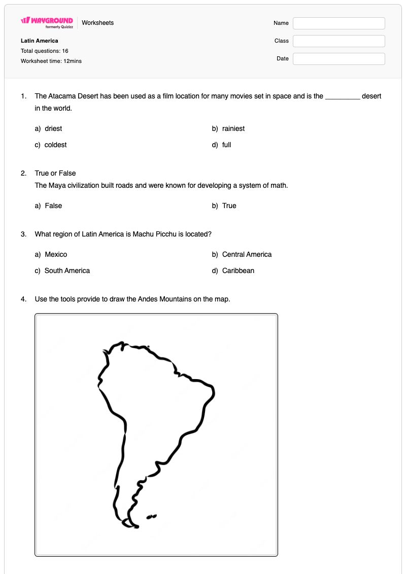
Use the tools provide to draw the Andes Mountains on the map.
5.
What are the two main languages spoken in present day Latin
America?
a)
Portuguese
b)
Spanish
c)
Italian
d)
English
6.
European exploration of Latin America led to -
a)
The spread of Catholicism ONLY.
b)
The spread of Catholicism and the Spanish language.
c)
The spread of the Spanish language ONLY.
d)
The spread of Islam.
7.
______ is the only North American country that is part of Latin America. It is the region's largest source of immigrants.
a)
Central America
b)
Mexico
c)
Caribbean
d)
South America
8.
In which region of Latin America are the Sierra Mountains located?
a)
b)
c)
d)
9.
Which inventions led to the diffusion of culture from Europe to Latin America?
a)
Telescope, and engines.
b)
Telegraph and morse code
c)
Ships and compasses
d)
Railroades and steel
10.
Why do you think many Europeans speak multiple languages?
a)
Many people migrated and language spread.
b)
People take classes to learn another language.
c)
European nations are far from each other.
11.
Central America is comprised of -
a)
Fifty countries
b)
One country
c)
Seven countries
d)
Three countries.
12.
The Columbian Exchange brought with it _____ that eliminated about 90% of the native population.
a)
smallpox
b)
influenza
c)
common cold
d)
measles
13.
Latin America is rich in natural resources, such as water and -
a)
steel.
b)
water.
c)
rock.
d)
timber (wood).
14.
Venezuela and Mexico have a considerable amount of which type of resource-
a)
oil reserves.
b)
gold.
c)
religion.
d)
aluminum.
15.
The ______ includes Cuba, Haiti, and Puerto Rico, is sub-region of Latin America, and has a diverse history of European colonization.
a)
Mexico
b)
Caribbean
c)
South America
d)
Central America
16.
Analyze the map to complete the statement:
Latin America is rich in fossil fuels, uranium and -
a)
aluminum.
b)
steel.
c)
hydroelectric power.
d)
birds.
Answer Key
Latin America
Total questions: 16
1.
a)
driest
2.
b)
True
3.
c)
South America
4.
n/a
5.
a)
Portuguese
, b)
Spanish
6.
b)
The spread of Catholicism and the Spanish language.
7.
b)
Mexico
8.
a)
9.
c)
Ships and compasses
10.
a)
Many people migrated and language spread.
11.
c)
Seven countries
12.
a)
smallpox
13.
d)
timber (wood).
14.
a)
oil reserves.
15.
b)
Caribbean
16.
b)
steel.
140 %
Browse by subjects
Browse by grades
Browse by format
FAQs
What does this Latin America worksheet cover?
This Grade 6 worksheet builds knowledge of Latin America’s physical features, subregions, natural resources, languages, and historical-cultural connections. Its 14 multiple-choice questions, multiple-select item, and Andes Mountains map-drawing task require students to identify locations and facts, select more than one correct language, and connect European exploration and the Columbian Exchange with changes in the region.
How can I use this worksheet to teach Latin America’s geography and history?
Introduce the worksheet by reviewing a map of Latin America and modeling how to distinguish Mexico, Central America, South America, and the Caribbean. Then use the Atacama Desert, Machu Picchu, Andes Mountains, and Central America items to prompt map-based discussion before addressing language, European exploration, the Columbian Exchange, and natural resources. Have students explain the reasoning behind selected answers after completing the questions.
What mistakes should I watch for when students complete this Latin America worksheet?
Students may confuse Latin America’s subregions, especially Mexico, Central America, South America, and the Caribbean, or place the Andes Mountains incorrectly on the map. They may also select only Spanish instead of both Spanish and Portuguese, choose a single effect of European exploration instead of language and Catholicism, or confuse natural resources such as timber and oil with non-resource choices.
How do I assign and grade this Latin America worksheet?
The Latin America worksheet is available as a printable PDF and as a digital quiz on Wayground, with a complete answer key for all question types, including the map-drawing task. For printable submissions, scan student work with the Wayground for Teachers app to streamline grading and review of students’ answers.
How can I differentiate this Latin America worksheet for my students?
Use the worksheet’s Advanced Settings to adjust font spacing or increase the font size so the multiple-choice options and map-drawing directions are easier to read. You can also enable a dyslexia-friendly font or translate the worksheet into another language when that better supports access to the geography and history questions.
Where can I find more worksheets like this on Wayground?
Wayground offers a broad collection of free printable worksheets and practice problems across subjects, with downloadable PDFs and answer keys to support essential skills and concepts. Browse more resources at https://wayground.com/en-us/worksheets.

 Worksheets


