Free Printable Regions of Texas Worksheets for Class 1
Explore Class 1 printable worksheets and free PDF practice problems about Texas regions, helping young students learn about their state's diverse geographic areas with engaging activities and answer keys.
Explore printable Regions of Texas worksheets for Class 1
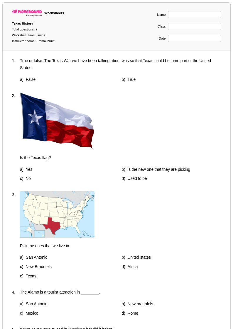
Regions of Texas worksheets for Class 1 students available through Wayground provide young learners with an engaging introduction to the diverse geographical areas that make up the Lone Star State. These carefully designed educational materials help first-grade students develop foundational geography skills by exploring Texas's four main regions: the Gulf Coastal Plains, Interior Lowlands, Great Plains, and Basin and Range Province. The worksheets strengthen essential academic abilities including map reading, regional identification, and basic geographical vocabulary through age-appropriate activities and practice problems. Each resource includes comprehensive answer keys to support effective instruction and assessment, while the free printable pdf format ensures easy classroom implementation and home study opportunities.
Wayground's extensive collection of teacher-created resources supports educators with millions of high-quality worksheets specifically designed for regional geography instruction at the elementary level. The platform's robust search and filtering capabilities allow teachers to quickly locate materials that align with state standards and match their students' specific learning needs. These differentiation tools enable seamless customization for various skill levels, making remediation and enrichment activities readily accessible for diverse learners. Available in both printable and digital formats, including downloadable pdfs, these worksheets provide flexible options for lesson planning and skill practice. Teachers can confidently utilize these resources to create comprehensive geography units that build students' understanding of Texas regions while developing critical thinking and analytical skills essential for social studies success.
FAQs
How do I teach the regions of Texas to my students?
Start by anchoring instruction around the four primary geographic regions: the Gulf Coastal Plains, Interior Lowlands, Great Plains, and Basin and Range Province. Use physical and political maps to help students visualize regional boundaries, then layer in characteristics like topography, vegetation, climate, and economic activity for each area. Comparing regions side by side, rather than teaching them in isolation, helps students build mental frameworks that stick.
What are good activities for practicing the regions of Texas in class?
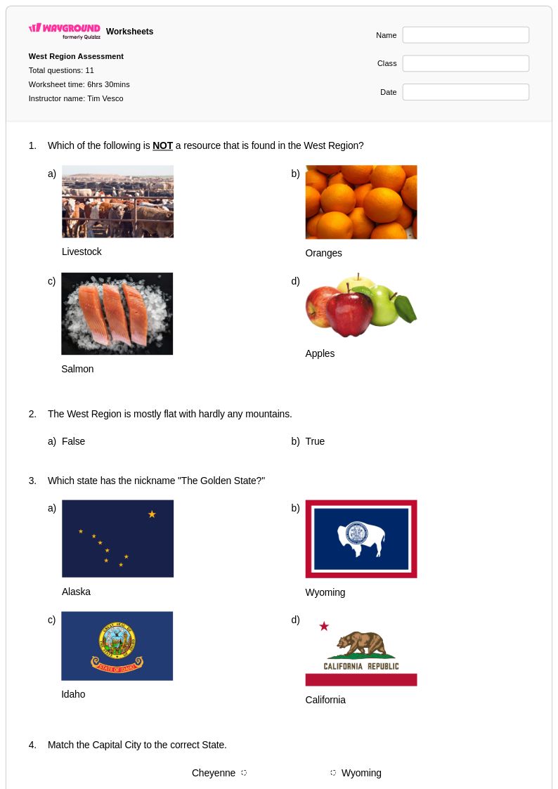
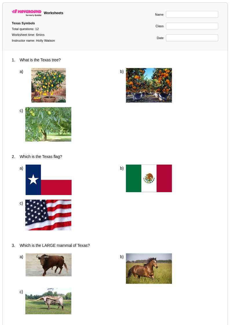
Effective practice activities include map labeling exercises where students identify and color-code each region, matching tasks that pair regional features like the Edwards Plateau or Blackland Prairie to their correct location, and short-answer problems that ask students to explain how geography influences economic activity. Worksheet-based practice that targets specific regional characteristics, such as vegetation zones or natural resources, helps reinforce the distinctions between regions that students often blur together.
What mistakes do students commonly make when learning the regions of Texas?
The most common error is conflating the Gulf Coastal Plains with all of coastal Texas, when in fact it is a broad interior region extending well inland. Students also frequently mix up the Interior Lowlands and Great Plains due to superficial similarities in terrain descriptions. Another persistent misconception is treating Texas's regions as strictly natural divisions, when regional boundaries also reflect cultural, economic, and historical patterns that overlay the physical geography.
How do I differentiate regions of Texas instruction for students at different levels?
For students who need additional support, reduce the number of regions covered in a single lesson and focus on one or two distinguishing characteristics per region rather than comprehensive lists. For advanced learners, extend the task by asking them to analyze how regional geography has shaped historical settlement patterns or current economic industries. On Wayground, teachers can apply accommodations such as reduced answer choices or read-aloud settings to individual students without disrupting the rest of the class.
How do I use Wayground's regions of Texas worksheets in my classroom?
Wayground's regions of Texas worksheets are available as printable PDFs for traditional classroom use and in digital formats for technology-integrated environments, including the option to host them as a live quiz on the platform. Teachers can use them for direct instruction support, independent practice, review sessions, or remediation, with complete answer keys included to streamline grading. The digital format allows teachers to assign worksheets remotely or in a blended learning setting, while the printable version works equally well for paper-based classrooms.
What sub-topics within Texas geography should I cover alongside the four main regions?
Beyond the four primary regions, instruction should include key sub-regions and geographic features such as the Edwards Plateau, Blackland Prairie, Piney Woods, Chihuahuan Desert, and Coastal Bend. Students should also explore how climate patterns, natural resources, and population distribution vary across these areas. Connecting these features to the broader regional framework gives students a more complete and accurate picture of Texas geography rather than a list of disconnected place names.