
 Worksheets
River Systems
Total questions: 33
Worksheet time: 25mins

The start of a river is called the what?
River summit
Headwaters
River start
River mouth


In a meander, where can you expect to have erosion and thus the formation of the cutbank?
Inside the curve
Outside the curve


The land area that drains and supplies water to a river is called a
water table
trailer
aquifer
drainage network

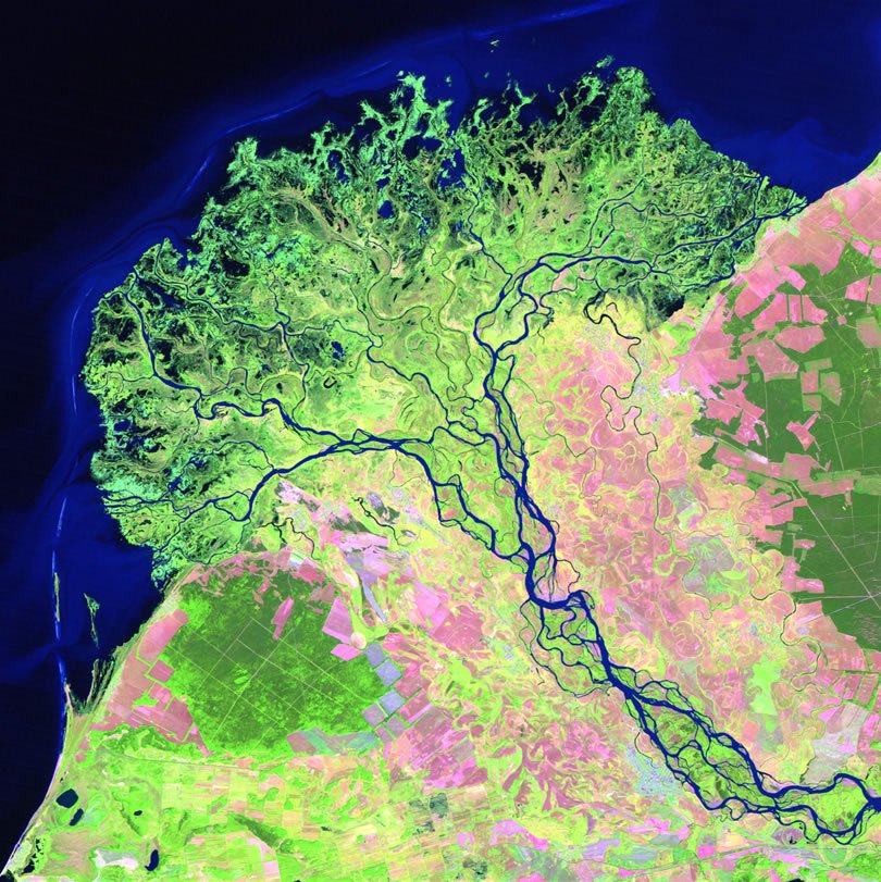

Where will there be the most erosion?
A
B
C
D
A deposit that forms on the inner side of a meander where deposition occurs.
Point Bar
Cutbank
Oxbow
Headwater
Pick the picture that depicts the greatest channel sinuosity.


The boundary between two drainage networks, shown by the red line, is called the drainage
border
divide
boundary
ceiling

What type of drainage pattern is displayed here by the river in blue?
radial
structurally controlled
dendritic
distributary

These river rapids are an example of
laminar flow
turbulent flow

What is the region of calm water found behind the large rock called?
eddie
pothole
hydraulic
Which of the following factors does NOT influence a rivers discharge?
rainfall
snowmelt
gradient
water velocity
Where in a rivers profile would it have it's greatest volume of sediment load?
headwaters
foothills
mouth

Identify this depositional featured created as a stream exits a steep mountain front.
braided stream
alluvial fan
radial deposit
point bar
Tectonics can cause either uplift or subsidence. Which of these would lead to stream incision?
uplift
subsidence

Waterfalls typically occur when a streams incision reach a layer of relatively ___ rock.
soft
hard
A stream will tend to drop it's bed load when it's velocity ___
increases
decreases

Identify this depositional feature found on the inside curve of the meander.
beach
oxbow
cutbank
point bar
Where along a streams profile would you find the steepest gradient?
Headwaters
foothills
delta
mouth

What name is used to describe a stream with a network of channels that constantly change.
sinuous stream
braided stream
alluvial stream
meandering stream
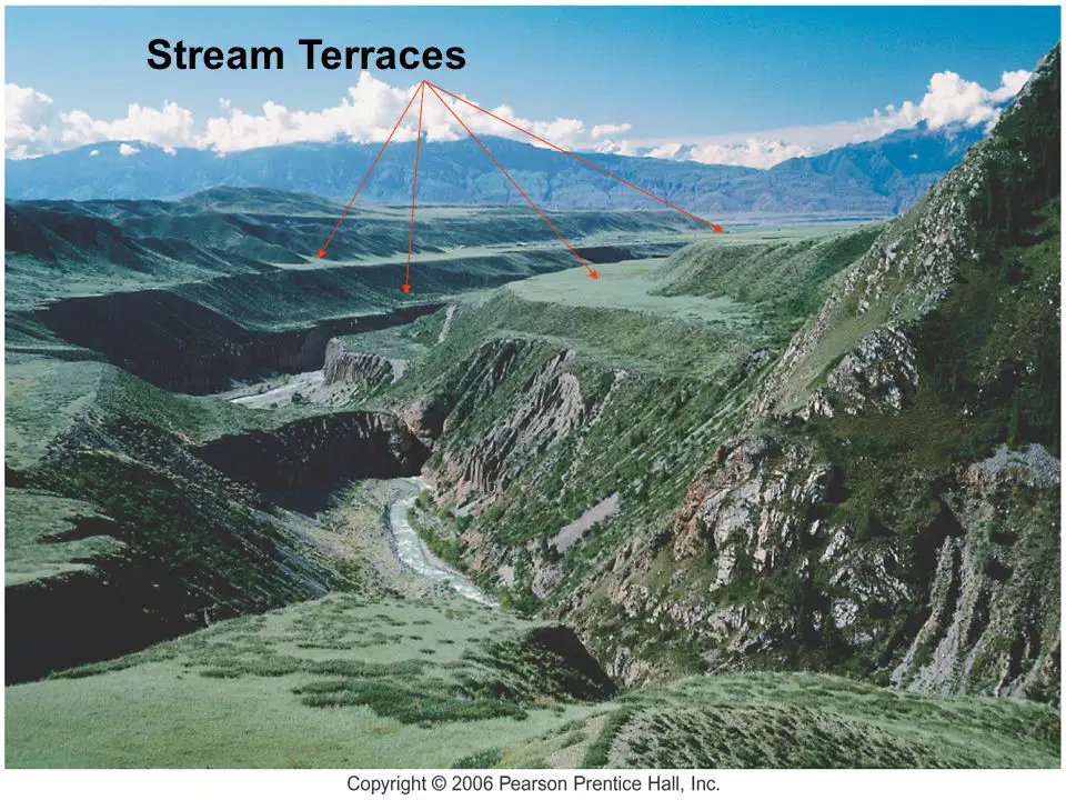
Why do some streams exhibit a series of terraces as shown here?
the result of several mega floods
abandoned flood plain due to decreased base level
glacial period that increases base level

Which of these is a negative consequence of dam construction?
creates an artificial reservoir
creates hydroelectric power
increases water storage
prevents the transportation of sediment downstream
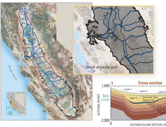
Which of these is not a major river in the central valley that drains to SF Bay?
San Jaoquin River
Salinas River
Sacramento River

