wayground logo

Free Printable Worksheets

NEW

Font size

S
M
L
XL
Worksheets

Geography Concept Check

Total questions: 40

Worksheet time: 2hrs 59mins
Name
Class
Date
1.

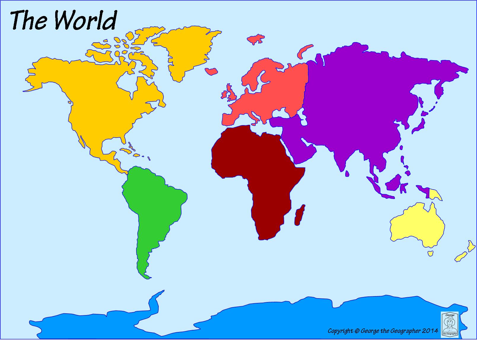
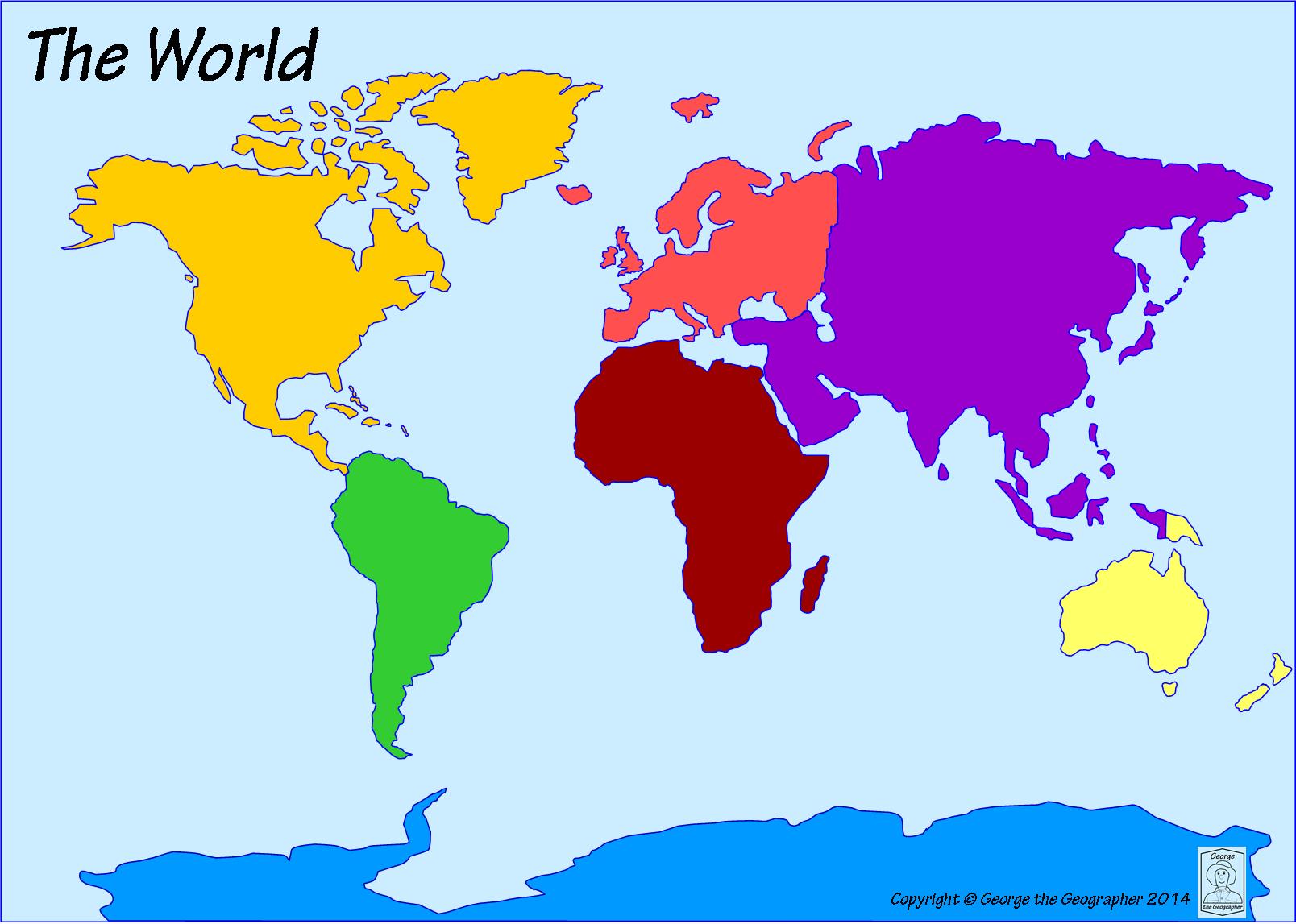
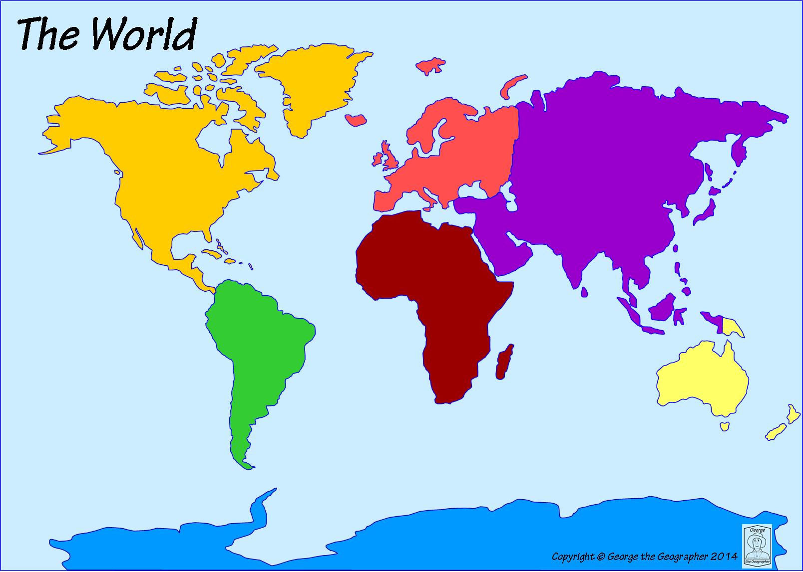
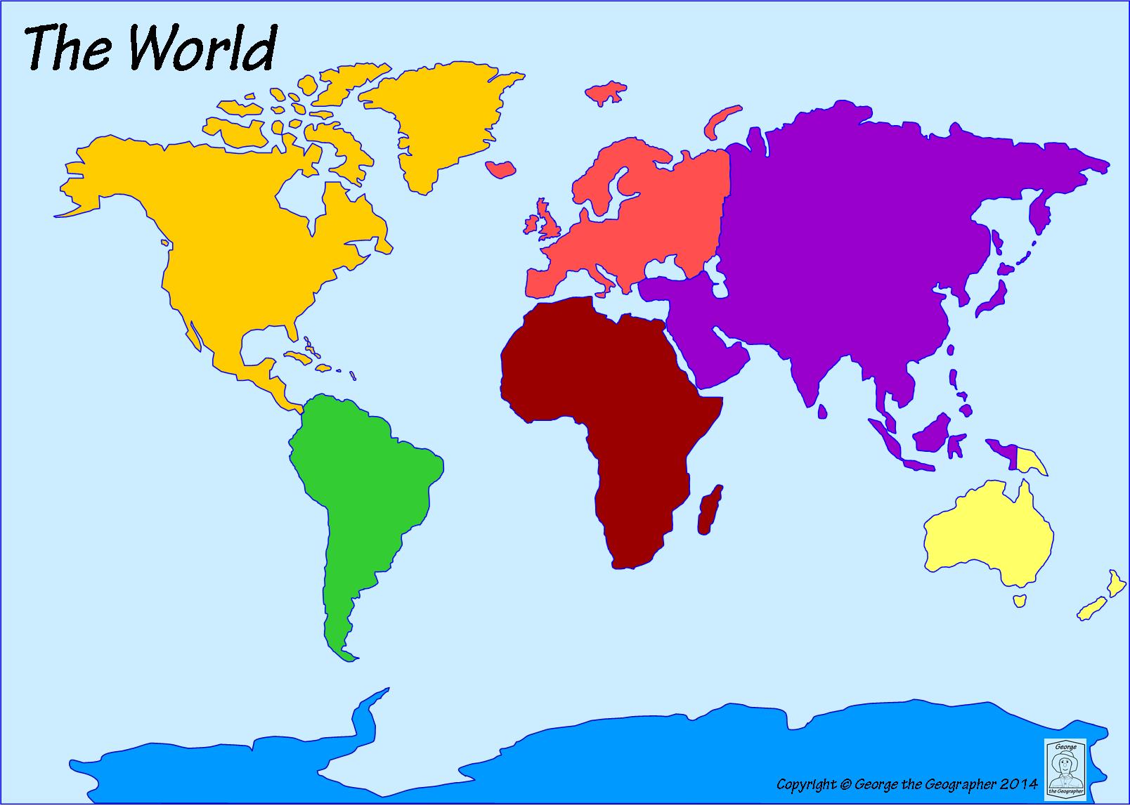
Which ocean is located off the east coast of North America?

a)

Pacific Ocean

b)

Atlantic Ocean

c)

Indian Ocean

d)

Southern Ocean

2.

Which ocean is the farthest north?

a)

Indian Ocean

b)

Southern Ocean

c)

Arctic Ocean

d)

Atlantic Ocean

3.

Which ocean is located to the east of Africa and to the west of Australia?

a)

Atlantic Ocean

b)

Indian Ocean

c)

Pacific Ocean

d)

Arctic Ocean

4.

Which ocean is located off the west coast of North America. It is the LARGEST ocean.

a)

Atlantic Ocean

b)

Pacific Ocean

c)

Arctic Ocean

d)

Southern Ocean

5.
The 0 degree line of longitude
a)
equator
b)
prime meredian
c)
bisection line
d)
hemispheric navigator
6.
The 0 degree line of latitude
a)
prime meredian
b)
equator
c)
hemisphere
d)
symbols
7.
Imaginary lines that run north and south meeting at the pole but measure in degrees east and west
a)
latitude
b)
parallels
c)
longitude
d)
primes
8.

What continent is highlighted green in the picture?

a)

Africa

b)

Australia

c)

North America

d)

Europe

9.
Which continent is highlighted green in the picture?
a)
North America
b)
Africa
c)
South America
d)
Antarctica
10.

Which continent is shown in this map?

a)

Africa

b)

South America

c)

Australia

d)

North America

11.

Which continent is shown in this map?

a)

Africa

b)

Antarctica

c)

Australia

d)

North America

12.

Which continent is shown in this map?

a)

Africa

b)

Antarctica

c)

Australia

d)

North America

e)

South America

13.

Which continent is shown in this map?

a)

Africa

b)

South America

c)

Australia

d)

North America

14.

An area of land that receives 10 inches of precipitation or less a year and has little to no vegetation.

a)

island

b)

canyon

c)

desert

d)

hill

15.
Which Hemisphere are both North America and South America found in?
a)
Western Hemisphere
b)
Eastern Hemisphere
c)
Southern Hemisphere
d)
Northern Hemisphere
16.
Which Hemisphere are Asia, Australia, and most of Europe found in?
a)
Western Hemisphere
b)
Eastern Hemisphere
c)
Southern Hemisphere
d)
Northern Hemisphere
17.

Lines of _______ run east to west and the Equator circles the middle of Earth.

a)

latitude

b)

longitude

c)

location

d)

grid system

18.

Define peninsula.

a)

a sizable inland body of water

b)

a large body of water completely or partly surrounded by land

c)

land area, smaller than a continent surrounded by water

d)

a body of land jutting into a lake or ocean surrounded by water on three sides

19.

Narrow piece of land connecting two larger land area

a)

isthmus

b)

bay

c)

strait

d)

valley

20.
the place where a river empties into an ocean, lake, or a larger river
a)

river mouth

b)

isthmus

c)

delta

d)
island
21.
An area in the desert with a water source
a)
canyon
b)
glacier
c)
peninsula
d)
oasis
22.
a plain at the mouth of a river, often triangular in shape, formed when material is deposited by flowing water.
a)
delta
b)
bay
c)
oasis
d)
tributary
23.
What city is located at 32 degrees south and 150 degrees east?
a)
Shanghai
b)
Sydney
c)
Durban
d)
Calcutta 
24.
Which city is located at 38 degrees north and 120 degrees west?
a)
San Fransisco 
b)
New York
c)
New Orleans
d)
London
25.
What are the coordinates for the city of New Orleans? 
a)
30 degrees north and 90 degrees west
b)
60 degrees north and 30 degrees east
c)
30 degrees north and 120 degrees east
d)
35 degrees north and 70 degrees west
26.
If you were at 30 degrees south and 60 degrees west, which continent would you be in?
a)
Europe
b)
Africa
c)
South America
d)
Australia 
27.
If you were located at 30 degrees south and 90 degress east, what ocean would you be in?
a)
Indian Ocean
b)
Atlantic Ocean
c)
Arctic Ocean
d)
Pacific Ocean
28.
Which continent is located at 60 degrees north and 120 degrees west?
a)
Asia 
b)
North America
c)
Europe
d)
Africa
29.
What ocean would you be in if you were at 30 degrees south and 150 degrees west?
a)
The Atlantic Ocean
b)
The Arctic Ocean
c)
The Pacific Ocean
d)
The Indian Ocean
30.
What ocean would you be in if you were at 30 degrees south and 150 degrees west?
a)
The Atlantic Ocean
b)
The Arctic Ocean
c)
The Pacific Ocean
d)
The Indian Ocean
31.

According to the map, Michigan is _________ of Wisconsin.

a)

North

b)

South

c)

East

d)

West

32.

According to the map, which state is west of Nevada?

a)

Utah

b)

California

c)

Idaho

d)

Arizona

33.

According to the map, which state is south of Michigan?

a)

North Dakota

b)

Indiana

c)

Wisconsin

d)

Kansas

34.

According to the map, which state is south of Kansas?

a)

Oklahoma

b)

Nebraska

c)

Colorado

d)

South Dakota

35.

Which direction would you travel to go from Washington to Oregon?

a)

North

b)

South

c)

East

d)

West

36.

Which direction would you travel to go from Texas to Idaho?

a)

Northeast

b)

Southeast

c)

Northwest

d)

Southwest

37.

Which direction is highlighted?

a)

East

b)

West

c)

Southeast

d)

Northeast

38.

Which direction is highlighted?

a)

West

b)

South

c)

Northwest

d)

Southeast

39.

Which direction is highlighted?

a)

North

b)

West

c)

East

d)

South

40.

Which direction is highlighted?

a)

West

b)

East

c)

South

d)

North