
 Worksheets
oceanography
Total questions: 42
Worksheet time: 52mins



What type of lines are shown here?
The map shows lines of longitude.
The map shows lines of latitude.
What causes the tides to change?
rotation of the Earth and its spin
The pull of the Sun
The pull of the Moon
The pull of mostly the Sun, some of the Moon
The pull of mostly the Moon, some of the Sun
The Gulf Stream is
Off the coast of the Gulf of California
a current in the Atlantic Ocean that flows on the eastern coast of North America
Off the coast of the Gulf of Jersey
Flowing south from England along the coast of Aftrica

The main difference between ocean water and lake water is that ocean water contains —
oxygem
plants
algae
salinity


Seawater is typically denser than freshwater due to seawaters-
greater depth
lower mass
higher salinity
higher freezing point
El Nino happens when temperatures in the Pacific Ocean are what?
About normal
Lower than normal
Higher than normal
Changing rapidly
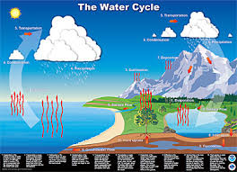
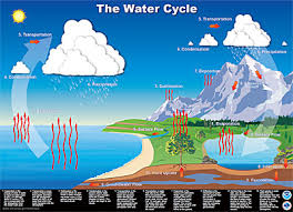
What is the term for when plants lose water to the atmosphere?
Evaporation
Transpiration
Evapotranspiration
Hydroation
What is the most common compound in Seawater?
NaCl
CaCO3
CO2
H2O
What is the bottom of the food chain / pyramid in the ocean?
Phytoplankton
Small fish
Iron
Zooplankton
Where would you find the common "dead zone" in an ocean?
Near the center of a gyre
Near the mouth of a river
Along a coastline, far from cities
At the surface layer, 20 - 30 kilometers at sea
In the Northern Hemisphere, which direction do cold water surface currents usually go?
To the north
To the south
To the East
To the West
How often is it between high tides?
6 hours
6 hours and 10 minutes
12 hours
12 hours and 25 minutes

