
 Worksheets
Unit 1 Review
Total questions: 41
Worksheet time: 25mins


Lines called _____________ and ____________ combine to form the "global grid," and are used to identify absolute location. CHOOSE TWO!
parallels
meridians
coordinates
topographic
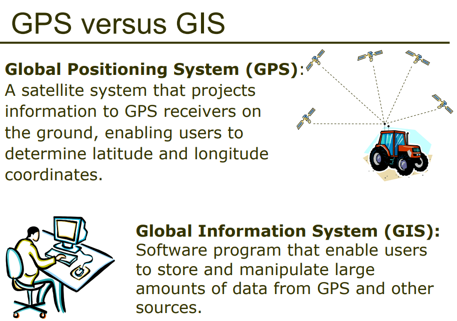
GPS and GIS are examples of contemporary mapping tools that rely on ______ technology.
remote sensing/satellite
computer
smart phone/satellite
International Space Station


These maps show the importance of changing _____________ in understanding something (like cancer rates in the US)
regions
scale
site
The diminishing in importance and eventual disappearance of a phenomenon with increasing distance from its origin
distance decay
globalization
regionalization
nodalism
0 degrees latitude is known as the
Equator
Prime Meridian
International Date Line
North Pole
A location on the Earth's surface with a distinctive characteristic
place
diffusion
network
environment
The Geographic Information Science
Analysis of data about earth acquired through satellite and other electronic information technologies
The study of electronic map and the electronic overlays
The use of tools to study demographic features on the earths surface
The development of new technologies to understand demographic development
None of these choices are correct
the name given to a portion of the Earth's surface is known as ...
Toponym
Lithosphere
Spatial Association
Hydrosphere
Possibilism
The clustering or dispersal of something within a given unit of area is
concentration
density
pattern
location
A ratio of the number of items within a defined unit of area measures
dispersion
direction
pattern
density
diffusion



