
 Worksheets
Landforms
Total questions: 26
Worksheet time: 19mins

A narrow strip of land that connects 2 larger pieces of land is called a (n)
isthmus
bay
strait
tundra

A continuous, mostly flat area that consist of few trees and plentiful grassland is called a(n)
plateau
plain
tundra
escarpment
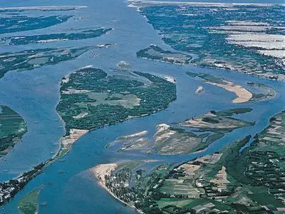

This photo shows a ...


A body of water that flows and is surrounded by land on both sides?
ocean
pond
river
stream

What is a coast?
land that has water all around it
land with water touching 3 sides
land that borders the sea or ocean
a large body of salt water
What river creates most of the shape of Wayne County?
Little South Fork
Big South Fork
Cumberland
Kentucky

When a narrow body of water connects two larger bodies of water it is called a
isthmus
straight
canal
creek
US deserts are located in the
south
west
north
east
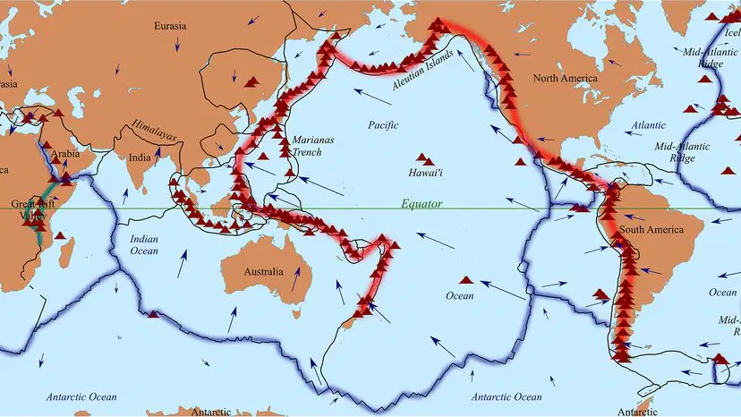
A concentration of volcanoes in a certain world area is called
The Ring of Fire
Three Rings of Death
Volcano Alley
Continental Divide
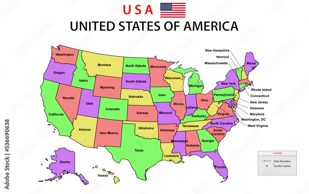
A map that shows states in the US is an example of this type of map:
political
demographic
physical
topgraphic

A map that shows features like rivers and landforms is this type of map:
political
physical
climate
demographic
A map that shows characteristics of a group, such as life span or birth rate:
Political
Climate
Demographic
Physical
The most famous isthmus in the world is in
Mexico
Panama
Egypt
Indonesia
The river that is considered the gateway into the US, and the second largest river in the US
Colorado
Mississippi
Ohio
Platte


What river flows through the Grand Canyon?
Missouri
Mississippi
Rio Grande
Colorado

Which river is marked by the letter W on this map?
The Colorado River
The St. Lawrence River
The Mississippi River
The Hudson River

Which river is located the farthest west?
The St. Lawrence River
The Mississippi River
The Colorado River
The Hudson River

Which geographic feature is drawn on the map?
The Sierra Nevada Mountains
The Appalachian Mountains
The Rocky Mountains
The Hudson River
How many miles did the Panama Canal save in a journey from New York to California?
1000
3000
5000
8000

