
NEW
Font size
 Worksheets
Unit 1 Key Issue 1 Practice Quiz
Total questions: 7
Worksheet time: 4mins
Which of the following terms is best defined as, "An imaginary circle around the middle of the earth, halfway between the North Pole and the South Pole."
Equator
Lines of Latitude
Lines of Longitude
Prime Meridian
Human Geographers ask "Where are people and activities found on Earth?" AND ____
How did they get there?
Why are they found there?
Where do they go now?
How long will they be there?

Which of the maps shown has the largest scale?
Map 1
Map 2
Map 3
Map 4
Lines running East to West, measuring distance North or South of the Equator in Degrees.
Latitude
Longitude
Meridian
Parallel
The International Date Line is located at ____ longitude, while the Prime Meridian is located at 0 degrees ______.
360 degrees; longitude
180 degrees; longitude
360 degrees; latitude
180 degrees; latitude
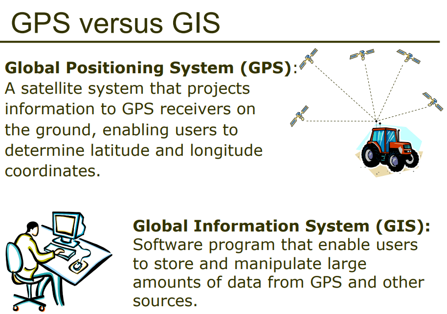
GPS and GIS are examples of contemporary mapping tools that rely on ______ technology.
remote sensing/satellite
computer
smart phone/satellite
International Space Station
______ is a mapping tool that can be used in monitoring natural disasters.
GPS
GIS
Remote Sensing
Map Scaling

