
 Worksheets
Map Symbols & Contours
Total questions: 24
Worksheet time: 24mins

If contour lines are close together, then the slope is
gentle
steep
flat
going up and down

What are the curved lines on a topographic map called?
contour lines
contour intervals
slope
elevation

The height above sea level is called
topographic
contour
elevation
depth

A feature of the land, such as a mountain, canyon, or beach, is called a(n)
elevation
topographic map
landform
volcano
The ______________ tells you the elevation change from one contour line to the next.
index
contour focus line
number of hills
contour interval
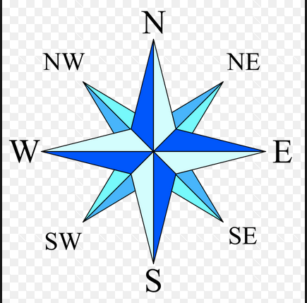

Maps should contain the following five things: 1) a title, 2) borders, 3) a compass rose, 4) ________, and 5) ________ .
continents and countries
landforms and water
map key and scale
roads and golf courses
A low lying area between two hills or ridges,often occupied by a river
Plateau
A valley
Plain
Desert
The exact height of a spot or a place above the mean sea level ,as shown on a toposheet
Bench mark
Height
Spot height
Place height
How many basic features are found on a map?
2
4
5
3

What is the vertical interval in the image?
(a)

What is the contour interval in the image?
(a)

What type of slope would you classify the inner most part of the landform?
Steep Slope
Gentle Slope
Contour lines are evenly spaced. What type of slope am I?
Convex
Concave
Uniform

What does this map symbol mean?
car park
airport
park
golf course

What does this symbol mean?
bowling club
main road
hospital
park

What does this symbol represent?
Telephone
School
Motorway
Picnic area

What does this OS map symbol represent?
Motorway
A road
Bus station
Footpath

What does this OS map symbol represent?
Place of worship
Railway
Post Office
Building

What does this map symbol stand for?
Road
River
Footpath

