
 Worksheets
Midterm Exam
Total questions: 92
Worksheet time: 2hrs 31mins
What does the title show on a map?
shows the person who made the map
attracts the reader's attention
shows the purpose of the map
shows important information about the size
What is a scale on a map?
a tool that allows you to measure your body weight
a way to balance the weights of the land and oceans
a ratio of the distance on the map to the actual distance
a piece of skin found on reptiles like snakes
What is a compass rose?
half of a circle that helps people find angles
a drawing showing different directions on a map
a device with a magnet that always points North
a pretty flower on a map that is red
Which choice is the legend or key of a map?


Which map is a 'political map'?


A hemisphere is ___________ of the earth.
Part
Half
On top
in front
The ________________ divides the earth into the Northern Hemipshere & Southern Hemisphere.
Equator
Prime Meridian
The ________________ divides the earth into the Eastern Hemisphere & Western Hemisphere.
Equator
Prime Meridian

The equator is the center line of latitude & is measured at _________° (degrees).
30
0
400
100

The red triangle seen on this map can be measured as _____° N (latitude) & _____° E (longitude).
80° N, 120° E
60° N, 120° E
30° N, 100° E
The orange circle seen on this map can be measured as _____° N (latitude) & _____° E (longitude).
20° N, 0° E
60° N, 120° E
10° N, 180° E
The yellow star seen on this map can be measured as _____° N (latitude) & _____° W (longitude).
30° N, 120° W
0° N, 160° W
40° N, 60° W
The pink heart seen on this map can be measured as _____° S (latitude) & _____° W (longitude).
40° S, 100° W
0° S, 160° W
100° S, 0° W
The green diamond seen on this map can be measured as _____° S (latitude) & _____° W (longitude).
180° S, 100° W
20° S, 160° W
0° S, 0° W
The blue square seen on this map can be measured as _____° S (latitude) & _____° E (longitude).
100° S, 10° W
120° S, 80° E
60° S, 140° E
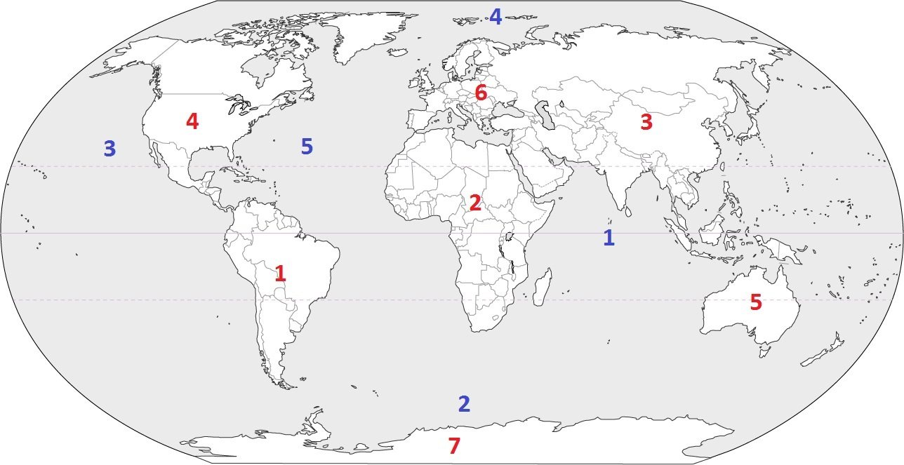
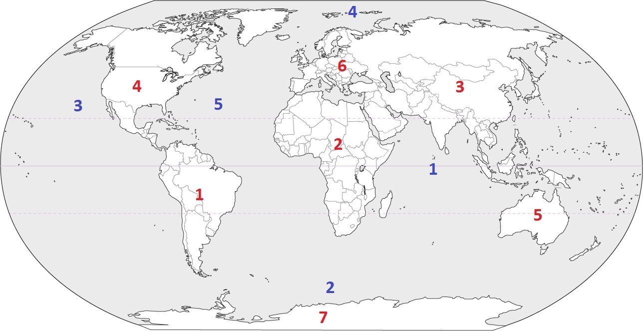
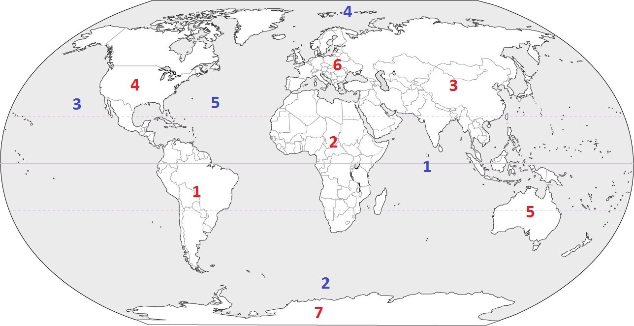


The continent of Oceana is also known as
Australia
Asia
Italy
Europe
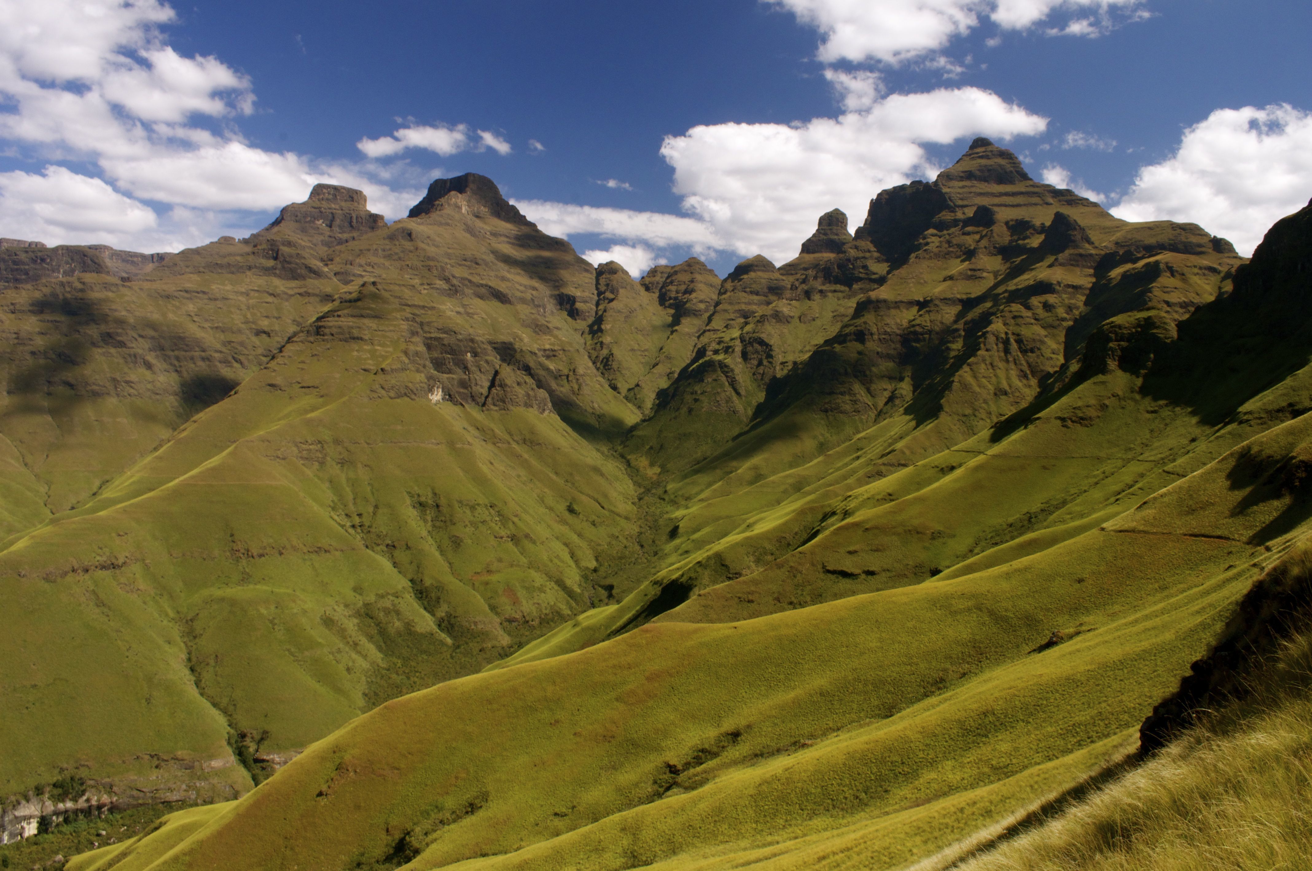




Climate is affected by many factors including:
latitude, elevation, and proximity to bodies of water
tides and currents
wind
snow and sleet
These areas is located between 66.5°N and the North Pole and 66.5°S and the South Pole. It has low temperatures and very little precipitation.
Polar Climate Zones
Temperate Climate Zones
Tropical Climate Zones
The Arctic Climate Zones
Which of the following is the southern-most point in South America?
Angel Falls
Tierra del Fuego
Cape Horn
Strait of Magellan

What is the following Latin America Physical Feature?
Caribbean Sea
Amazon River
Atlantic Ocean
Andes Mountains

What is the following Latin America Physical Feature?
Caribbean Sea
Pampas
Sierra Madre Mountains
Andes Mountains

Identify This Landform In The Red Box.
Yucatan Peninsula
Pampus
Panama Canal
Andes Mountains

Identify Feature Located In The Green Area.
Ornico River
Gulf Of California
Patagonia
Pampas
Which of the following does NOT describe Jose San Martin and Simon Bolivar?
led revolutions in Latin America
creole
born in Europe
wealthy and well-educated
Which of the following best describes the most important benefit of the Panama Canal?
stop and refuel
take on cargo
travel between the Atlantic and Pacific Oceans
carry tourists into Latin America
This branch of government protects the United States Constitution and has life term appointments.
judicial branch
electoral college
executive branch
legislative branch
If I am standing in the hottest and lowest place in North America, where am I?
The Great Desert
North California
Death Valley
Texas
Which scenario illustrates an example of the Columbian Exchange?
An Aztec lord forces a Spanish colonist to farm his land as a slave.
An Aztec missionary converts an Spanish soldier to Catholicism.
A sick Spanish soldier brings the small pox virus to Mexico.
A Spanish settler learns about the Aztec language and customs.
The term "Latin America" most accurately refers to the
areas of the Western Hemisphere south of the United States.
countries that belong to the organization of the American States.
continents of North and South America.
countries that have close economic ties with Spain.
If you are flying directly from California to New York, in what order would you see the following mountain ranges?
Coastal Range, Rockies, Appalachians
Appalachians, Rockies, Coastal Range
Coastal Range, Alaska Range, Appalachians
Rockies, Alaska Range, Coastal Range


The ____ branch of the American government has the ability to veto.
executive
legislative
judicial
congressional
The ____ is an economic and political organization of countries that introduced the Euro in 2002.
United Nations
European Union
United Kingdom
North Atlantic Treaty Organization
Who was at the top of the feudal system?
Barons
Knights
King
Peasants
Who was at the bottom of the feudal system?
Peasants
King
Knights
Barons
This was the time period where forward thinkers wanted to reform society using reason moving away from ideas rooted in religion, tradition, or mysticism
The Enlightenment
Protestant Reformation
Middle Ages
Roman Empire

What country is this?
France
Italy
Ukraine
United Kingdom

What country is this?
Romania
Norway
Poland
Germany

What country is this?
Germany
France
Hungary
Italy

What country is this?
Sweden
Norway
Ukraine
Czech Republic

What country is this?
Russia
Poland
Romania
Spain

What country is this?
Spain
Sweden
Finland
Germany

What country is this?
Iceland
Norway
United Kingdom
Italy

What mountain range is shown in orange?
The Pyrenees
The Alps
Ural Mountains
Olympic Mountains

What mountain range is shown in orange?
The Pyrenees
The Alps
Ural Mountains
Andes Mountains

What peninsula is shown in orange?
Scandanavian
Iberian
Floridian
Yucatan

What body of water is shown in blue?
English Channel
Mediterranean Sea
Black Sea
Red Sea

What body of water is shown in blue?
English Channel
Mediterranean Sea
Rhine River
Danube River

What body of water is shown in blue?
English Channel
Mediterranean Sea
Rhine River
Danube River

What physical feature of Europe is shown in green?
European Plain
English Channel
Iberian Peninsula
The Alps

What mountain range is shown in orange?
Andes Mountains
Ural Mountains
The Pyrenees
The Alps
Which European historical periods are in the proper chronological order?
Middle Ages, Renaissance, Ancient Greece, Roman Empire
Renaissance, Ancient Greece, Roman Empire, Middle Ages
Ancient Greece, Roman Empire, Middle Ages, Renaissance
Roman Empire, Middle Ages, Renaissance, Ancient Greece
Why is Eastern Europe considered a cultural crossroads?
Eastern Europe is the most diverse region in the world
There is great diversity in culture in the region today
Since ancient times, people moving between Europe and Asia
There is a complex road system constructed there

