
 Worksheets
Geography Pre-Test
Total questions: 20
Worksheet time: 20mins


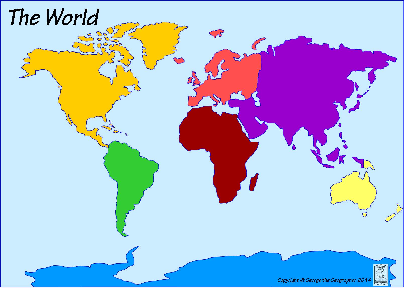
Which ocean is located to the east of Africa and to the west of Australia?
Atlantic Ocean
Indian Ocean
Pacific Ocean
Arctic Ocean


What city is located closest to 70'W and 40'N?
Denver
Niagra Fallas
Boston
Houston

Identify this map
Population map
Elevation Map
Physical Map
Political Map
Which is NOT one of the Five Themes of Geography
Location
Language
Movement
Region
Absolute and relative are words that describe...
Place
Movement
Region
Location
Places that are near each other and have something in common with each other are called _____.
Regions
Places
Locations
States
Human-environment interaction is the relationship between _____ and _____.
people, the world
people, other people
people, the government
God, man

The lines that run north to south on a map are called
Quadrant Lines
prime meridian lines
latitude lines
longitude lines

The red line on this map represents
Prime Meridian
International Dateline
Equator
Eastern and Western Hemisphere
What is PLACE?
Place uses physical and/or human characteristics to describe a location.
Place is where something is located.
Place is the movement of people and goods from one place to another.
Place is when a group of places share common physical and human characteristics.

