
 Worksheets
Quiz Maps & Globes Review
Total questions: 39
Worksheet time: 37mins


What continent is this?
Africa
South America
Australia
Eurasia

What continent is this?
Africa
South America
Australia
Antarctica

What continent is this?
Eurasia
North America
South America
Australia

What continent is this?
Eurasia
North America
South America
Australia

What continent is this?
Eurasia
North America
South America
Australia
The largest continent in the world is?
Asia
Africa
Europe
Australia


What ocean is located at Blue #3?
Pacific
Indian
Arctic
Atlantic

What ocean is located at Blue #5?
Arctic
Pacific
Indian
Atlantic

What ocean is located at Blue #1?
Pacific
Atlantic
Indian
Arctic

What ocean is located at Blue #4
Atlantic
Pacific
Indian
Arctic

What feature is found at the red point?
Saudi Arabia
Indian ocean
Sea of Japan
Arabian Sea

Which sea is colored in red above the arrow?
Black Sea
Red Sea
Mediterranean Sea
Arabian Sea

The purple continent in the map is?
Europe
Africa
Asia
South America


What city is located closest to 70'W and 40'N?
Denver
Niagra Fallas
Boston
Houston

What is the name of the imaginary line on the globe that runs north to south, and separates the Eastern and Western Hemispheres?
Equator
Prime Meridian
Latitude
Longitude
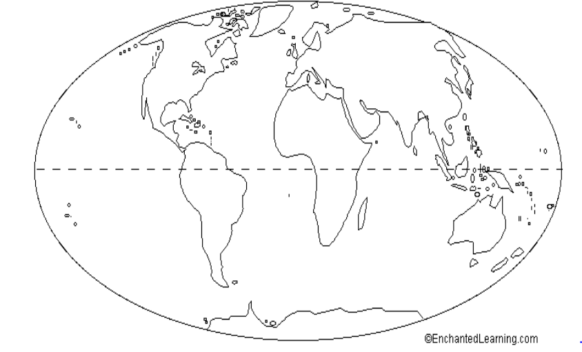
What is the name of the imaginary line that runs from east to west, and separates the Northern and Southern Hemispheres?
Equator
Prime Meridian
Longitude
Latitude

This map is an example of a . . .
Political Map
Physical Map

What is a map?
A book of places
A drawing that represents a portion of Earth on a flat surface that can be transported.
A piece of paper that shows rivers.
A symbol that shows cities.
Fill in the blank: A (a) is a person that makes maps.

A supercontinent containing all of Earth's land that existed about 225 million years ago.
Pangea
Gondwanaland
Rodinia
Pannotia
How did geologists feel about Wegener's theory?
They ridiculed him and did not accept his theory.
They were thrilled with him for finding the answers.
They accepted only a part of his theory.
They did not agree, but welcomed his work.
What did Wegener say happened to the continents over time
Nothing
They moved
They became islands

Galileo Galilei
Sir issac
Newton
GPS refers to
Spatially referenced data.
A computer system.
Integration and display of geographic information
A worldwide satellite navigation system
Which action below is something we use GPS for?
Flying planes
Tracking company trucks
Flying planes & tracking trucks
None of the above
What allows us to view, understand, question, interpret, and visualize data in many ways that reveal relationships, patterns, and trends in the form of maps, globes, reports, and charts?
A global positioning system (GPS)
A geographic information system (GIS)
Latitude and Longitude are measured in
degrees
inches
miles
kilometers

True or false: Globes provide a three-dimensional view of the Earth. They provide the most accurate view of the world, but have limitations in their use.
True
False
True or false: All world map projections create distorted images of the Earth to some degree. These distortions relate to size, shape, direction, and distance.
True
False
True or false: The cartographer’s purpose and the projection used to create a map influence what information is accurate and what is distorted.
True
False
Reorder the continents from largest to smallest.
Asia
Africa
North & South America
Antarctica
Europe & finally Australia

