
 Worksheets
Basic GIS Quiz
Total questions: 10
Worksheet time: 5mins
A system of hardware, software, and procedures designed to support the capture, management, manipulation, analysis, modeling, and display of spatially referenced data for solving complex planning and management problems
QGIS
GSIS
GIS
GGSS

What is the meaning of the acronym GIS?
Geodethic Information System
Government Information System
Geographer's Information System
Geographic Information System
What are the 2 types of Spatial Data?
zoning and locational clearance
Vector and Raster data
Master data and metadata
hardware and software
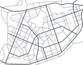
If you need to analyze the length of streets in your neighborhood, what type of vector data do you need?
Line
Point
Polygon
Length
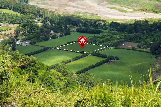
In order to compute for the area of critical facilities for CDRA, what type of vector data do you need?
Point
Polygon
Line
Pin

If you are gathering data at the community level and want to accurately identify household locations on a local map, what type of vector data would you need?
Polygon
Line
Point
Pin

What are the Five (5) components of GIS?
Hardware, Application, People, Softboiled, and Data
People, Hardware, Software, Data, and Maps
Hardware, Software, Data, People, and Applications
Hardware, Software, Applicants, Peoples and Date

This is considered the core of GIS. As one of its main components, it comprise almost 80% of the GIS process, what is this?
Data
Spatial
Software
Hardware

This represents real-world features graphically by using symbols on a place surface at their correct positions at a reduced scale?
Landmark Coordinates
Geographic Information
Augmented Reality
Map

Which among the following is not a characteristic of a map??
Has no orientation
Drawn to Scale
Symbolized
Gives emphasis to selected features

