
 Worksheets
Module 1 Test Geography
Total questions: 36
Worksheet time: 3hrs 0mins
Which theme of geography is described below: How people interact with their environment.
Location
Place
Human-Environment Interaction
Movement
Regions

What is the study of Earth and its peoples, places, and environments?
archaeology
geology
geography
anthropology


Population, economic activity, and land use are types of _______ features.
technological
physical
human
absolute

What type of feature is this?
Human Feature
Physical Feature

What type of feature is this?
Human Feature
Physical Feature

What type of feature is this?
Human Feature
Physical Feature

This photo best represents...
Human-Evironmental Interaction
Location
Region
Movement
Relative location is where a place is in relation to other places. For example...
1234 Oak Street, 92108
The Great Wall is located near Beijing in northern China.
1600 Pennsylvania Avenue NW, Washington, D.C., DC 20500
90° N Latitude and 20° W Longitude

This photo best represents...
Movement
Location
Explains how people, ideas & animals move from one place to another.
Place
Location
Movement
Human-Environment Interaction

This photo best represents...
Movement
Human-Evironmental Interaction
Region
Location

This photo best represents...
Human-Evironmental Interaction
Movement
Location

This photo best represents...
Location
Human-Evironmental Interaction
Region

This photo best represents...
Movement
Region
Human Environment Interaction

This photo best represents...
Movement
Location
Region
People build dams to change the flow of rivers.
Human-Evironmental Interaction
Location
Region
Place
The spread of religions around the world is an example of...
location.
place.
Human-Evironmental Interaction
movement.

This photo best represents...
Movement
Location
Region

Equator
Prime Meridian
International Date Line
North Pole


cups
gallons
degrees
Fahrenheit

Equator
Prime Meridian
International Date Line
North Pole
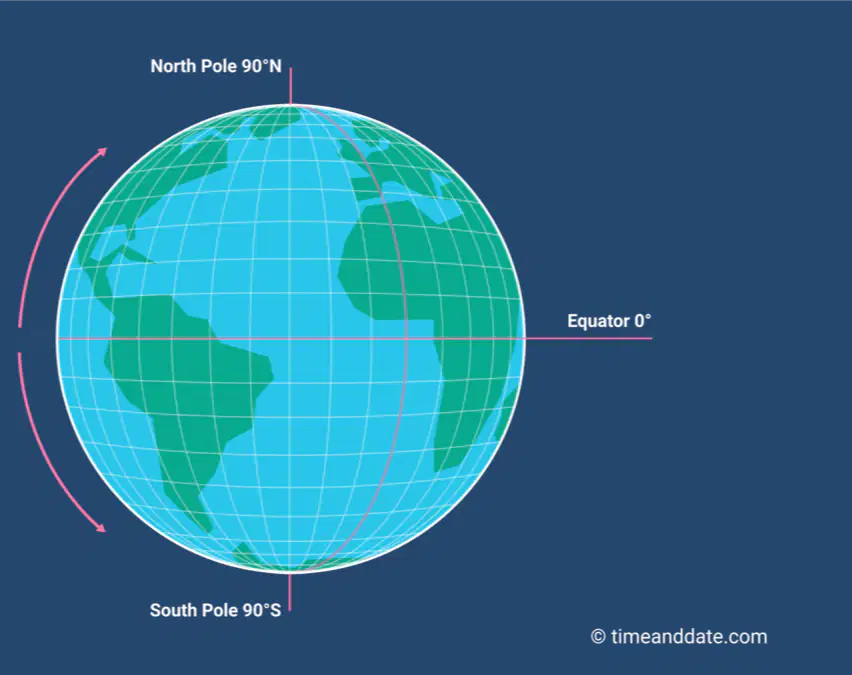
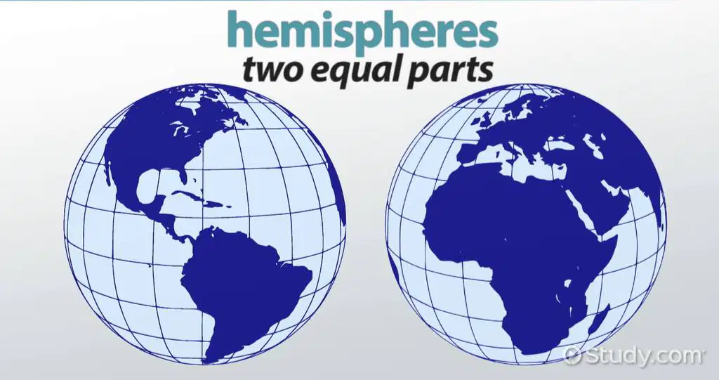
The equator divides the Earth into what two hemispheres?
Eastern and Southern
Northern and Southern
Western and Eastern
Northern and Western

All world map projections create distorted images of the Earth to some degree. These distortions relate to size, shape, direction, and distance.
True
False

This is a Mercator projection map. Why is this map projection not be the greatest to use when determining land size?
Places at the poles, like Greenland and Antarctica, are extremely distorted in their size, appearing larger than they really are.
Africa appears too large on this map.
All the continents are smaller than they actually are.
Places by the equator are highly distorted and appear much larger than they really are.


What are the advantages of a conic projection map?
It is almost true shape and size

What is the main disadvantages of a conic projection map?

What are the main advantages of a flat plane projection map?
Shows true direction
Distorts the shapes of land masses
Shows true area
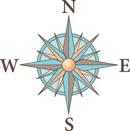
What shows all the directions on a map?
Map Title
South
Compass Rose
Legend

What does a legend (map key) show?
It shows directions.
It show a famous rockstar's picture.
It shows where things are located on a map represented by symbols.
It shows you how far places are from one another.

What map feature can help you determine the approximate distance between two locations?
map scale
key
title
distance calculator

