
NEW
Font size
 Worksheets
Remote Sensing Application with AECA Solutions
Total questions: 25
Worksheet time: 12mins

Among the following, which one is not AECA Solutions' business activity?
Geospatial Data Analysis
Aerial Videography
Mobile Mapping Solutions
Geospatial Data Capture

What is the primary source of energy used in remote sensing?
Sunlight
Electricity
Radio Waves
Wind Energy
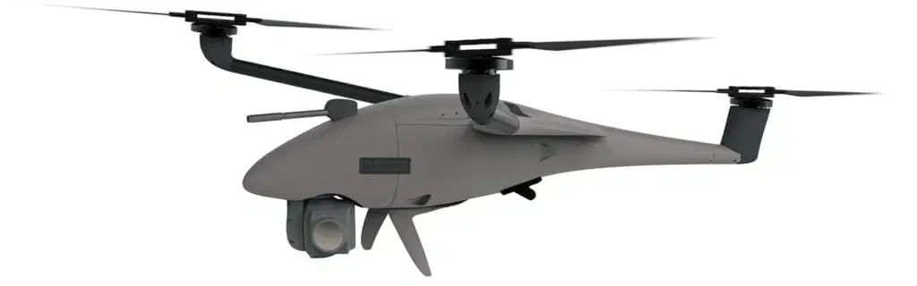
What is the type of this drone?
Fixed Wing
VTOL
Delta
Multi Copter

What range of colors are used is for the sensing, representation, and display of images in modern electronic systems and photography.
Cyan, Magenta, Yellow
Cyan, Green, Yellow
Red, Green, Blue
Red, Green, Yellow

What is the tagline of AECA Solutions?
Mapping Precision, Shaping Tomorrow: Unleashing the Power of Geospatial Technology
Geospatial Intelligence Technology Company featuring Superior Equipment and Effective Solutions
Mapping the Future through Precision Geospatial Solutions for a Connected World
Beyond Boundaries, Your Global Partner in Geospatial Excellence
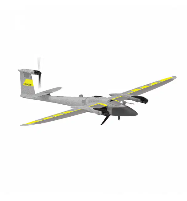
Can Trinity fly without GCP?
Yes
No
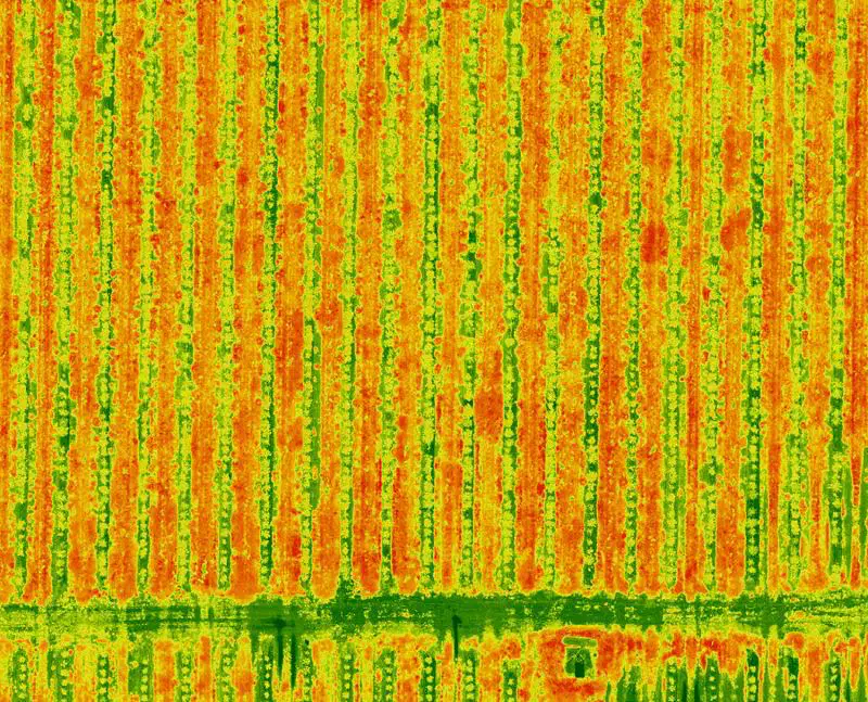
What is the main advantage of using multispectral imagery in remote sensing?
Higher spatial resolution
Lower cost
Real-time data acquisition
Greater sensitivity to specific wavelengths
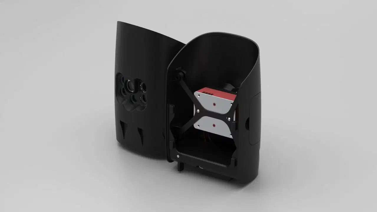
What is the maximum number of sensors Trinity can carry?
1
2
3
4

At the start of the 19th century, pigeons were used in the early form of remote sensing. True or False?
True
False
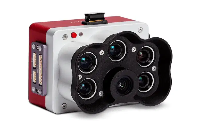
How many bands does MiceSense RedEdge-MX have?
5
4
10
8

What is the main focus of remote sensing compared to geospatial technology?
Data analysis
Data visualization
Data storage
Data acquisition
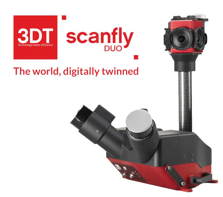
What does the term "LiDAR" stand for?
Laser Identification and Detection for Aerial Reconnaissance
Light Imaging and Distance Assessment Radar
Laser Instrumentation for Digital Atmospheric Ranging
Light Detection and Ranging

AECA has all of the following sensors, except which one?
LiDAR
Thermal
Multispectral
RGB
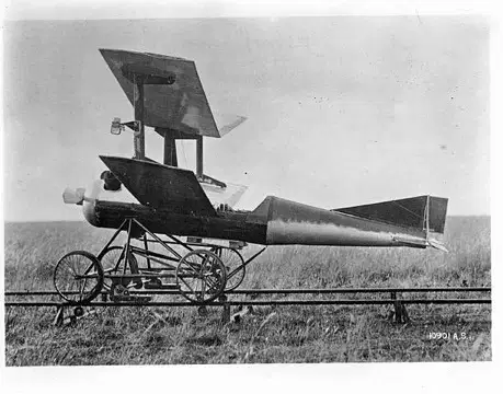
Which type of drone is the most efficient for large-scale aerial mapping?
VTOL
Multirotor
Fixed wing
FPV drone

In remote sensing, what does the term "NDVI" stand for?
Normalized Digital Visual Index
Non-Discriminative Vegetation Indicator
Near-Infrared Differential Vegetation Index
Normalized Difference Vegetation Index

Below are correct facts about LiDAR and multispectral sensors, except:
LiDAR data has higher accuracy than multispectral.
LiDAR is an active remote sensing technology, whereas multispectral is not.
LiDAR works by scanning, and multispectral works by capturing.
Both sensors produce image output.

What analyses does AECA conduct in agriculture projects?
Tree counting
Stress analysis
Nutrient analysis
All of the above

In RGB mapping, which color is typically associated with vegetation?
Red
Green
Blue
Yellow

What type of sensor is most effective for stress detection in oil palm plantations?
LiDAR
Oblique
RGB
Multispectral
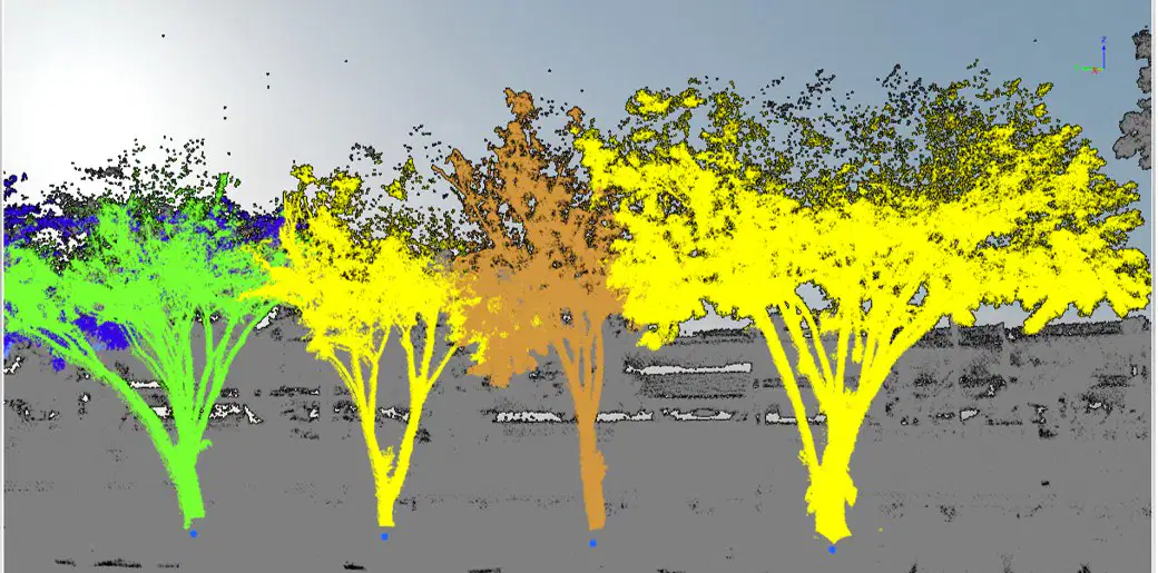
What is the primary purpose of LiDAR technology in remote sensing?
Ocean temperature measurement
Vegetation density estimation
Topographic mapping and 3D modeling
Cloud cover analysis

Which factor is crucial for achieving high accuracy in drone mapping?
Drone speed
GPS accuracy
Battery life
Camera resolution

How many platforms does Scanfly can be mounted on?
2
3
4
5

What do remote sensing scientists use to measure their coffee intake?
GPS (Global Perk System)
Lidar (Latte Intake Detection and Analysis Ruler)
RADAR (Really Aroma-Driven Appreciation Roaster)
GIS (Giggles In a Sip)

If AECA Solutions were a color, what color would it be and why?

Dynamic Blue - representing precision

Vibrant Green - symbolizing growth an

Tech-savvy Silver - reflecting modern
Why did the geospatial analyst break up with the GPS device?
It always wanted them to take the wrong turn
It couldn't commit to a stable connection
They just needed some space

