
NEW
Font size
 Worksheets
Unit 6: Transregional Trade Routes Vocab
Total questions: 30
Worksheet time: 3hrs 30mins

USING YOUR PLASTIC REGIONAL MAP
Which region of the world did the Islamic faith originate? (Blue Star)
South America
Europe
The Middle East
Oceania

Which feature of culture was exchanged along the transregional trade routes?
Religion
Language
Inventions & Discoveries
All of the above

What religion spread further into Africa along the trans-Saharan trade routes?
Islam
Christianity
Hinduism
Buddhism

Which trade route is shown in the map?
Mediterranean Sea
Silk Road
Trans-Saharan
Eurasian
Which option WOULD NOT help travelers on the trade root shown on the map above?
Camel
Turban
Lateen Sail
Oasis

Which of the following is true about geographic barriers?
They help spread language
They help spread religion
They are natural obstacles like mountains
All of the above

As the Arab Empire grew, "People of the Book" or those who did not convert to Islam in the conquered territories
had to give up all of their property to the empire.
had to pay special taxes to practice Judaism and Christianity.
were banished from those territories.
were imprisoned for at least five years.

Which three faiths make up the "Abrahamic Faiths"?
Judaism, Islam, and Hinduism
Christianity, Islam, and Buddhism
Islam, Hinduism, and Buddhism
Judaism, Christianity, and Islam

A group of North African Muslim traders who helped bring a golden age to Spain & Portugal
The Moops
The Monsoons
The Moors
The Mali Empire

A golden age period of time when Muslims controlled Spain, Portugal & N. France from 711-1491 C.E.
Oasis
Andalusia
Islamic Empire
Arabian Peninsula

A period of time known for ignorance and lack of progress, which harms most of society
Golden Age
Dark Age
Dull Age
Dull Age
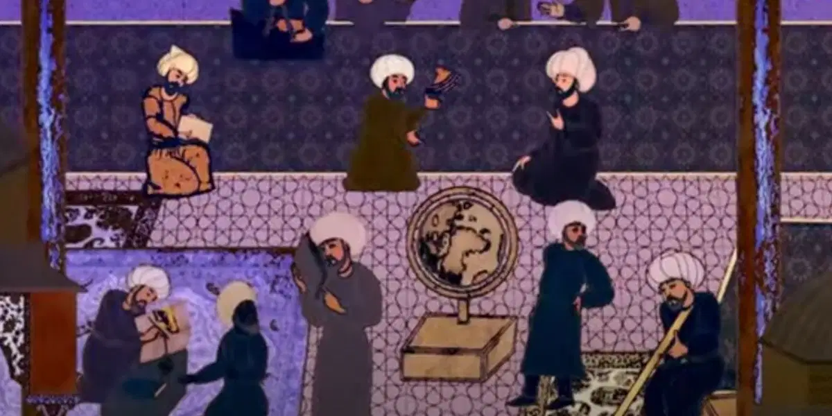
A period of great progress and learning for a civilization and its people
Silver Age
Platinum Age
Dark Age
Golden Age
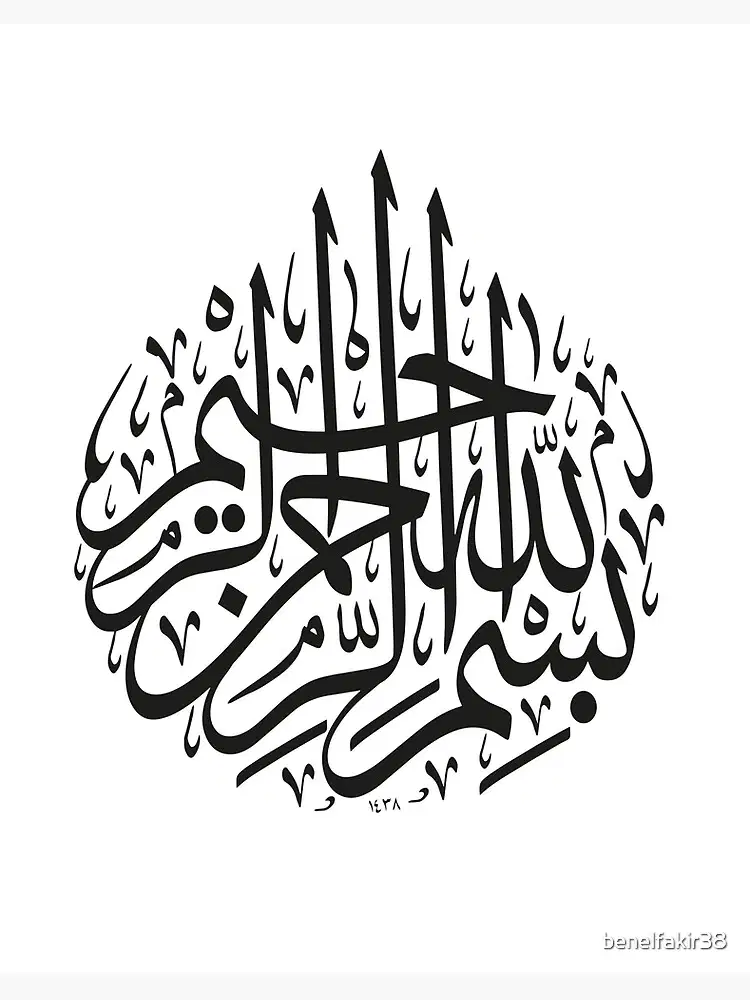
Beautiful stylized writing, commonly used in Arabic countries to artistically represent verses from the Quran
Jizya
Grafitti
Calligraphy
Script

A tax paid by Jewish and Christian people during their time under Muslim control
Jizya
Hajj
Zakat
Quran

The holy book of Islam, given to Muhammad and followed by Muslims
Quran
Torah
Holy Bible
Vedas
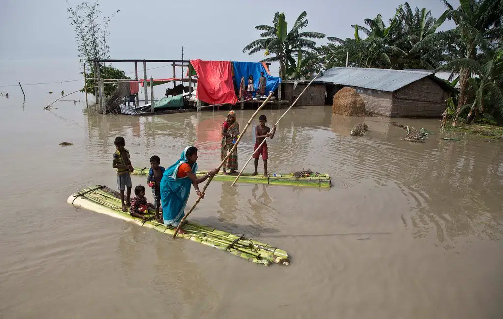
A period of heavy wind and rain in South Asia, they happen twice per year and are highly dangerous. Travelers along the Indian Ocean trade route wouldn't travel during these seasons to avoid damaging their boats, losing trade goods, or even dying.
Sandstorm
Monsoon
Oasis
Hurricane
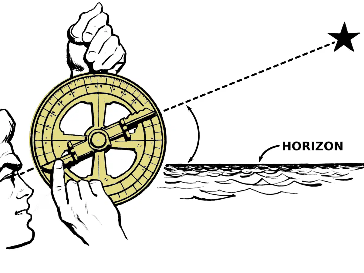
An invention used to track the stars at sea and help sailors know the direction they’re sailing
Compass
Astrolabe
Atlas
Calligraphy

A triangular shaped sail invented by Chinese sailors that helps people traveling at sea to catch more wind & power.
Lateen Sail
Fire Sale
Broad Sail
Row Boat

An animal that is perfectly suited for desert travel because they can survive heat & drought
Horse
Donkey
Camel
Stallion
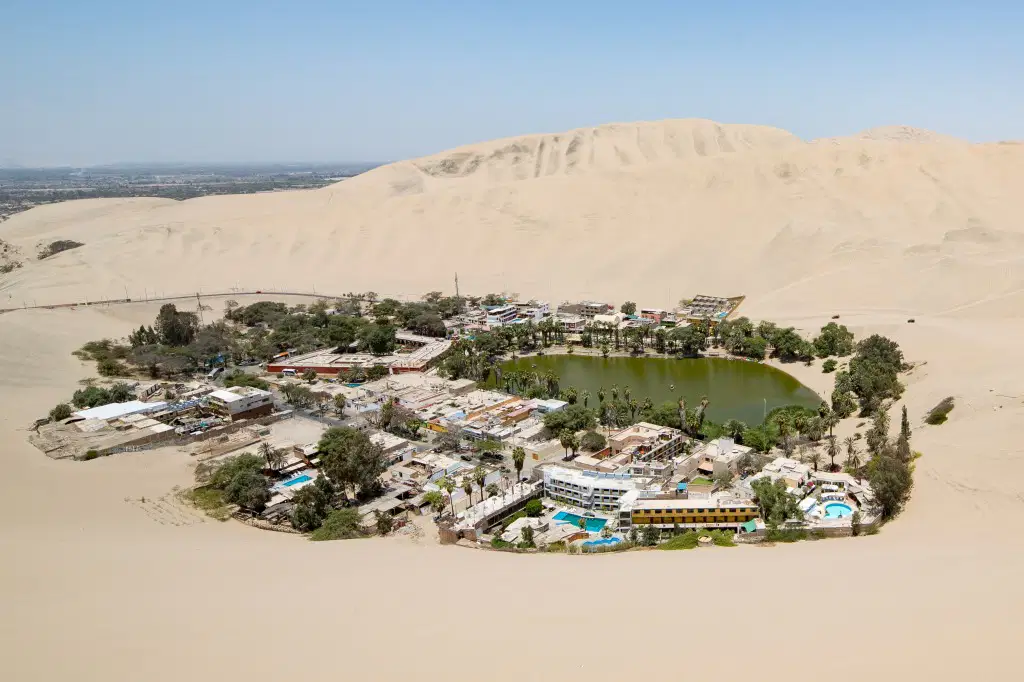
A spot in the desert that has access to water and trade goods similar to a “road or pit stop”
Astrolabe
Monsoon
Oasis
Lateen Sail
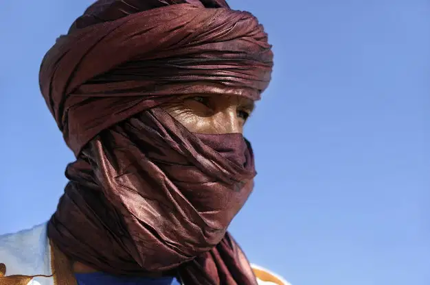
A lightweight cloth used by travelers in the desert to avoid dehydration and sand issues
Lateen Sail
Turban
Astrolabe
Jizya

Travel networks that go across multiple areas, which led to new culture and goods being shared
Transregional Trade Routes
Oasis
Regional Trade Routes
Interregional Trade Routes

The "blue line" represents which transregional trade route?
Indian Ocean
Mediterranean Sea
Trans-Saharan
Silk Road
The "red line" represents which transregional trade route?
Indian Ocean
Mediterranean Sea
Trans-Saharan
Silk Road
The "yellow line" represents which transregional trade route?
Indian Ocean
Mediterranean Sea
Trans-Saharan
Silk Road
The "green line" represents which transregional trade route?
Indian Ocean
Mediterranean Sea
Trans-Saharan
Silk Road
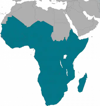
The area in blue on the map. This area in Africa is called this because it is below the largest desert in the world.
Trans-Saharan
Semi-Saharan
Sub-Saharan
Grand-Saharan
African cultures relied on these before the introduction of the Arabic language and a written alphabet. This skill requires strong active listening and working memory if it is going to serve as an useful form of communication and record keeping.
Written communications
Oral languages
Manuscripts
Alphabets

These people were story tellers, poets, and historians. They were responsible for remembering and retelling the important events for local communities, and were often set to music using the kora, which is the distant relative of the guitar.
Andalusia
Moors
Griots
Adinkra Symbols

This was a system of pictures or designs that were used before written languages. These designs, like the sankofa bird above, were used by African cultures to show important values and ideas within society.
Adinkra
Symbols
Lateen
Symbols
Abrahamic Symbols
Transregional
Symbols

