
 Worksheets
7th Grade World Geography Review
Total questions: 73
Worksheet time: 38mins

Where is the Atlantic Ocean?
A
D
C
E

Where is the Pacific Ocean?
D
E
B
C

Where is the Indian Ocean?
D
E
A
C

Where is the Southern Ocean?
C
A
E
B

Where is the Arctic Ocean?
C
A
D
B

Which continent is North America?
A
F
C
B

Which continent is South America?
D
F
E
G

Which continent is Europe?
D
B
E
C

Which continent is Africa?
D
C
E
B

Which continent is Asia?
D
C
B
A

Which continent is Antarctica?
G
F
E
B

Which continent is Australia?
C
D
E
F

How many major oceans are there in the world?
7
6
5
4
How many continents are there in the world?
4
5
6
7


This is the world's largest desert.
Sahara
Gobi
Great Painted Desert
The Congo
The countries of Canada, the United States and Mexico can be found on which continent?
Asia
Africa
North America
Europe


What are the cardinal directions?
North, South, East West
Up, Down, Left Right
Forward, Backward, Side to Side
1D, 2D, 3D, 4D

Map that shows the physical features of earth.
Thematic Map
Contour Map
Physical Map
Political Map

This map is a...
physical map
road map
political map
thematic map

The areas with the highest population density in Europe are MOST likely to be
Communist Cities
Nation Capitals
Landlocked Cities
Agricultural Regions

Which number is "France"
2
3
4
1

The Mediterranean Sea is labled with which number?
1
2
3
4

Which country is marked in red?
Poland
Germany
France
Austria

Iberian Peninsula
Scandinavian Peninsula
English Peninsula
Italian Peninsula
Select the 4 members of the United Kingdom:
England
Scotland
Republic of Ireland
Wales
Northern Ireland
Which mountain range separates Europe from Asia?
It is the dividing line for Western Russia and Eastern Russia.
the Alps
Rhine River
the Ural Mountains
the Pyrenees Mountains
What was apartheid?
the social separation of races in South Africa
independence day in Africa


The Amazon Basin
is along the west coast of South America.
stretches nearly the entire width of South America.
stretches nearly the entire length of South America.
is only located in Brazil.
What is the longest continuing mountain range in the world?
Rocky Mountains
Himalayan Mountains
Andes Mountains
Allegheny Mountains
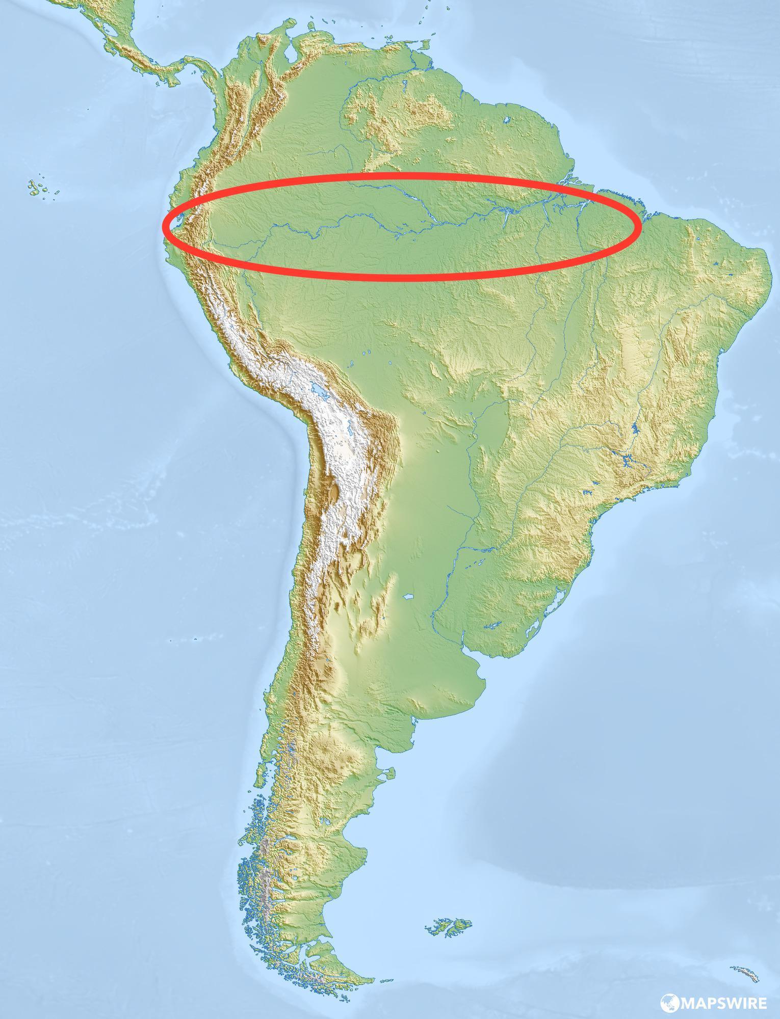

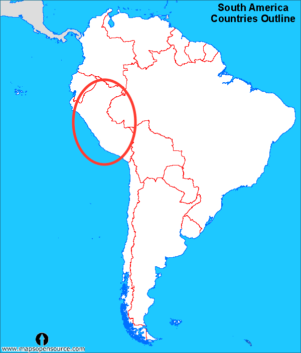
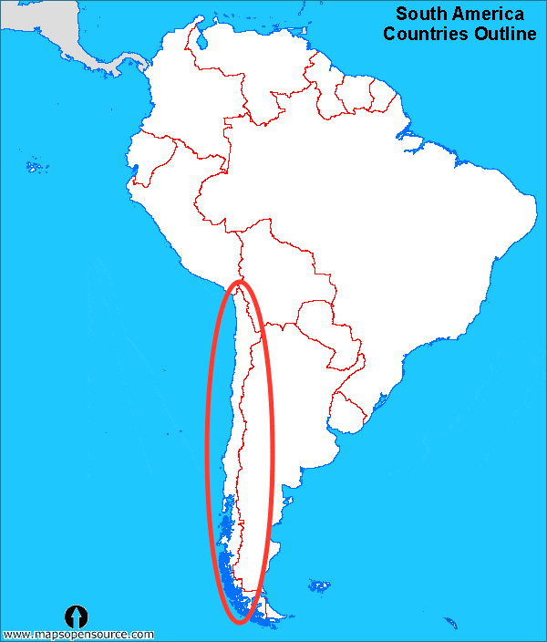
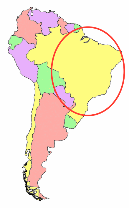
What country is this?
Uruguay
Argentina
Peru
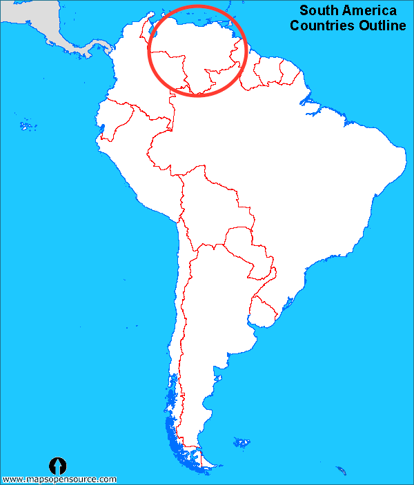
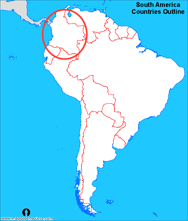
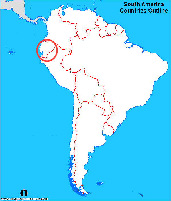

Which country is marked by the letter C?
Greenland
Canada
The United States
Mexico
Which country is marked by the letter C?
Greenland
Canada
The United States
Mexico
Which country is marked by the letter D?
Greenland
Canada
The United States
Mexico
How many states are in the U.S.?
26
42
50
39
What is the most populated state in the U.S.?
California
New York
Texas
Alabama

What state is this?
Florida
Michigan
Ohio
Washington

What state is this?
Georgia
Mnnesota
Oklahoma
West Virginia

What state is this?
North Carolina
Vermont
Connecticut
Maryland

What state is this?
South Carolina
Alaska
Iowa
Nevada

What is in red?
Yukon
Alberta
British Columbia
Quebec

What is in red?
Saskatchewan
Ontario
Nunavut
Northwest Territories

What is in red?
Nova Scotia
Nunavut
Manitoba
Alberta

Whats in the red?
Newfoundland and Labrador
Ontario
Yukon
British Columbia

What is in red?
Alberta
Manitoba
Quebec
Nunavut

What is in the red?
Ontario
Saskatchewan
British Columbia
Nova Scotia

Whats in the red
Saint Johns
New Brunswick
Manitoba
Northwest territories

What is in red
Ontario
Edmonton
Ottawa
Winnipeg

Whats in the red
Newfoundland and Labrador
Quebec
Halifax
Nova Scotia

What is in red
Ottawa
Iqaluit
Newfoundland and Labrador
Saint Johns

What is in red?
Regina
Edmonton
Fredericton
New Brunswick

What is the marked place?
Nova Scotia
Saint Johns
Prince Edward Island
Halifax

What is marked in red
Halifax
Nova Scotia
Yukon
Winnipeg

