
Font size
 Worksheets
SS8G1 Check
Total questions: 36
Worksheet time: 33mins
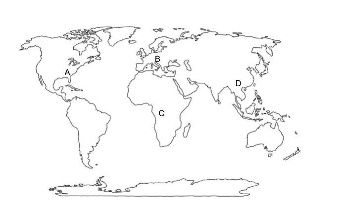
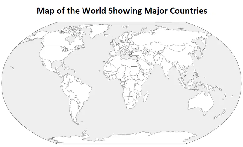
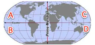
2. Which two hemispheres is Georgia located in?
Southern
Northern
Western
Eastern
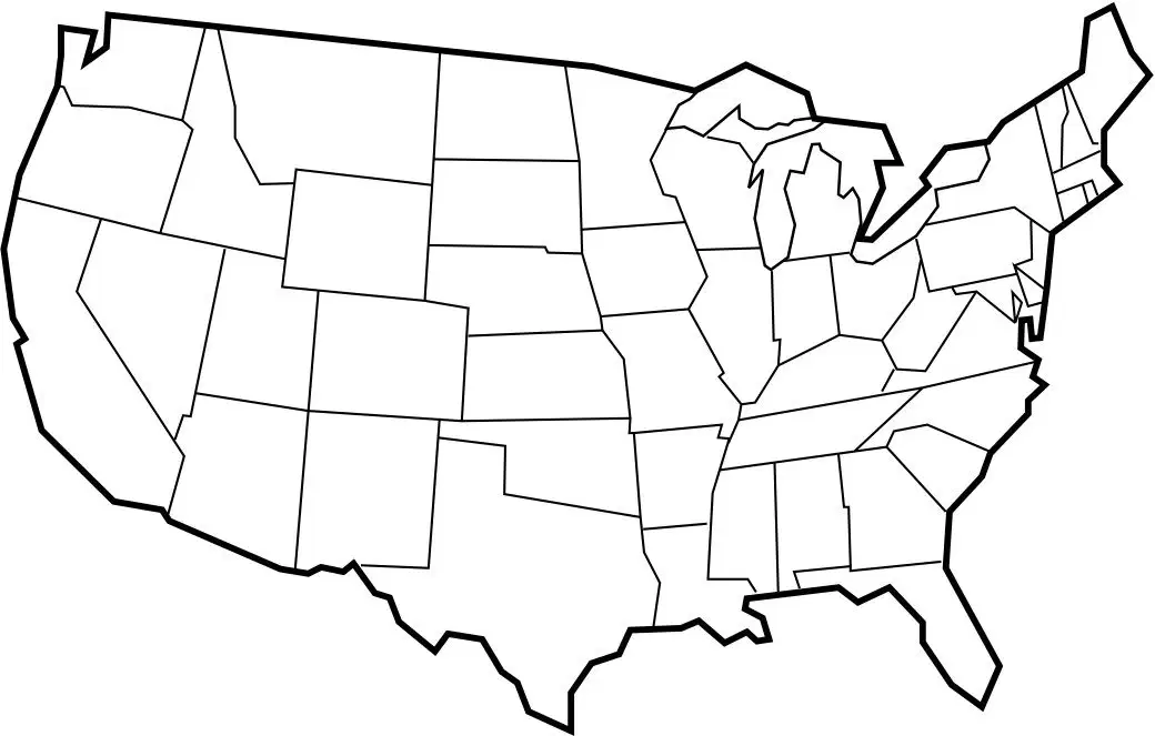
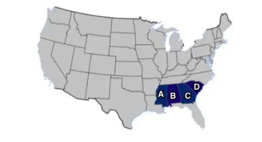
3. Which region of the United States can Georgia be found in?


What is the highest peak in Georgia?
Brasstown Bald
Stone Mountain
Lookout Mountain
Kennesaw Mountain
Which river forms part of the border between Georgia and South Carolina?
Savannah River
Chattahoochee River
Flint River
Ocmulgee River
What is the capital city of Georgia?
Savannah
Augusta
Atlanta
Macon
Which mountain range extends into the northern part of Georgia?
Rocky Mountains
Appalachian Mountains
Sierra Nevada
Cascade Range
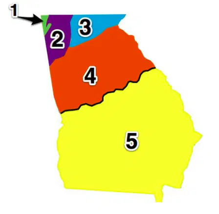
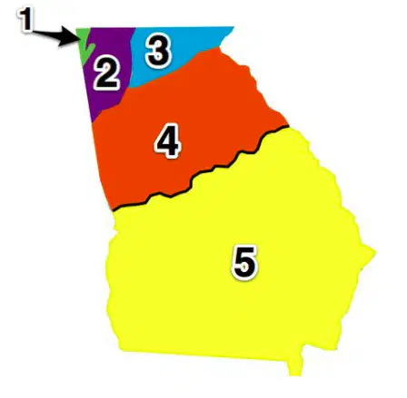
Label the regions of Georgia
Ridge and Valley
Piedmont
Coastal Plain
Blue Ridge Mountain
Appalachian Plateau
In which region would you find Brasstown Bald?
Appalachian Plateau
Coastal Plain
Blue Ridge Mountains
Piedmont
Ridge and Valley
In which region would you find the Chickamauga and Armuchee?
Appalachian Plateau
Coastal Plain
Blue Ridge Mountains
Piedmont
Ridge and Valley
In which region do most Georgians live?
Appalachian Plateau
Coastal Plain
Blue Ridge Mountains
Piedmont
Ridge and Valley
Match the following terms to the definitions
average weather over time
climate
day-to-day conditions of the atmosphere
weather
water that falls from the sky
precipitation
extended time with little precipitation
drought
Match the following vocab term to its definition
gradual wearing away of land
erosion
area of land that is saturated with water
aquifer
large crack in the Earth's crust
fault
height above sea level
elevation
wetland area with grasses and reeds
marsh
Where in Georgia is the Okefenokee Swamp?
Appalachian Plateau
Coastal Plain
Piedmont
Blue Ridge Mountains
Ridge and Valley
Match the following terms to the definition
wetland
area of land saturated with water
estuary
where a river meets the sea
barrier island
landforms that protect the coast of GA
swamp
waterlogged forest
In what ways are rivers critical to Georgia's success (Select all that apply) ?
transportation
agriculture
drinking
space exploration
industry (factories and power plants)
What is the primary river flowing through Atlanta, Georgia?
Chattahoochee River
Flint River
Ocmulgee River
Savannah River
This Georgia region is made up of rolling hills and is home to Stone Mountain and Atlanta
Appalachian Plateau
Piedmont
Coastal Plain
Valley and Ridge
Which region of Georgia is known for its flat terrain and is the largest in terms of land area?
Appalachian Plateau
Blue Ridge Mountains
Coastal Plain
Piedmont
What natural feature forms the southern border of Georgia?
Stone Mountain
Chattahoochee River
Okefenokee Swamp
Appalachian Mountains
Which Georgia region is characterized by fertile soil and is important for agriculture?
Appalachian Plateau
Piedmont
Blue Ridge Mountains
Coastal Plain
Which region of Georgia is characterized by rugged mountains and is located in the northeastern part of the state?
Piedmont
Coastal Plain
Ridge and Valley
Blue Ridge Mountains
What is the name of the chain of islands that helps protect Georgia's mainland from ocean waves and storms?
Barrier Islands
Okefenokee Swamp
Appalachian Plateau
Stone Mountain
Which river flows along Georgia's western border with Alabama?
Savannah River
Chattahoochee River
Flint River
Ocmulgee River

