
 Worksheets
Yr 9 Biggy Maps, climate, rivers and tectonics
Total questions: 20
Worksheet time: 14mins
Why is a 6 figure grid reference more helpful to emergency services than a 4 figure in the event of an accident outdoors?
It can pinpoint the location to the nearest 100m
It can pinpoint the location to the nearest metre
It can pinpoint the location to the nearest 1km
What corner of the grid do we look in?
bottom right
top right
bottom left
top left
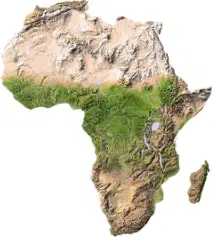
What continent is this?
North America
France
Africa
South America
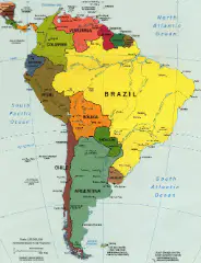
What continent is this?
Antarctica
South America
North America
Asia
Brazil
What is the greenhouse effect?
The greenhouse effect is to allow farmers to grow tropical plants
The greenhouse effect is for gardeners to grow fruit
The greenhouse effect is a natural process which keeps the earth warm.
The recent, rapid warming of the Earth's climate, almost certainly caused by human activity is known as...
Global Circulation System
Climate Change
Global Warming
The Multiplier Effect
Which of the following is not a greenhouse gas?
Water vapour
Methane
Oxygen
Co2
Records of temperatures, ice cores and sediment cores are all what?
Human causes of climate change
Natural causes of climate change
Evidence of climate change
How does the greenhouse effect happen?
Carbon fluoride and methane are in the atmosphere and trap some of the oxygen which would normally escape into the sky.
Carbon dioxide and methane are in the atmosphere and trap some of the heat which would normally escape into space.
Carbon energy and propane are in the atmosphere and trap some of the heat which would normally escape into space.

a tool to measure distance
a tool to tell direction
a tool to start a fire
a tool to build a house


What would you find at 566169?
Campsite
Public House
Farm
Bridge

What is at F2?
Mountains
River
Treasure
Lake

What is the interval of the above contour map?
10 meters
5 meters
1 meter
20 meters

what is the four digit grid reference for the Hospital?
4319
1943
1843
4320

What is the four digit grid reference for the car park?
4519
2044
2045
1945
The (a) of a river is found at the top and the (b) is found at the bottom. The source is likely to be in a (c) area in (d) where the soil is (e) like a sponge
A divergent plate boundary is where plates move (a) . It is also known as a (b) boundary. A (c) boundary is where plates move together. It is also known as (d) Volcanoes and earthquakes tend to be more (e) at convergent plate boundaries
Label the structure of the earth
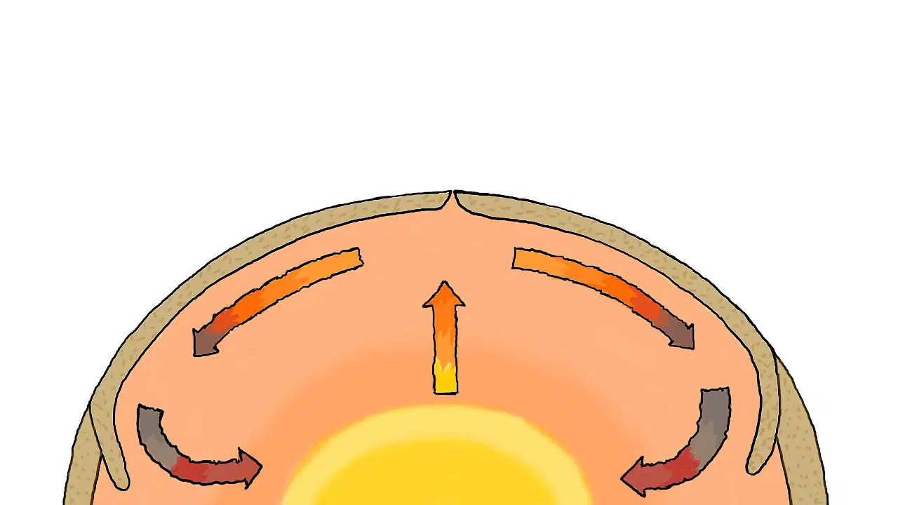
Rewrite the misspelled word:
The heat currents that move tectonic plates around are known as 'cntiooevcn' currents
(a)

