
 Worksheets
Tools of Geography Review
Total questions: 25
Worksheet time: 19mins
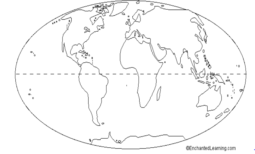
What is the name of the imaginary line that runs from east to west, and separates the Northern and Southern Hemispheres?
Equator
Prime Meridian
Longitude
Latitude

What is this symbol?
scale
key
compass rose
map
What is a map scale?
a tool to measure distance
a tool to tell direction
a tool to start a fire
a tool to build a house
What are the two main branches of geography?
Physical and Human
Physical and Biological
Human and Biological
Chemical and Biological
Identify which one falls under the category of physical geography.
Economic Geography
Political Geography
Mountain Ranges
Cultural Geography
Which of the following options does not fall under the category of human geography?
Population distribution
Cultural Geography
Biomes
Urban development
the main directions ( N,S,W,E)
intermediate
compass rose
cardinal
ratio
the middle directions ( NE,SE,SW,SE)
intermediate
compass rose
cardinal
ratio
calculates distance
scale model
scale
ratio
map key

In the grid system used to map locations on Earth's surface, lines parallel to the Equator are called
latitudinal lines
geometric lines
barometric lines
longitudinal lines

What is the relative location of New Zealand?
south of the Tasman Sea
northwest of Australia
southeast of Australia
north of the Philippines

Latitude and longitude are measured in ________.
inches
feet
degrees
grams

What shape is located at 120 degrees West, 45 degrees North?
Triangle
Star
Circle
Rectangle

Which of the following is a continent?
United States
Europe
Brazil
Japan

On which continent is Brazil located?
South America
North America
Europe
Africa
A map grid
indicates cardinal and intermediate directions on a map
helps you find specific locations on a map by means of intersecting lines
explains the symbols that are used on a map
describes the area shown on a map and identifies the map's topic
The precise place on Earth where a particular place can be found is
relative location
distortion
absolute location
map projection
The line that marks 0 degrees longitude is
(a)

Europe is in what three hemispheres?
(a)
Which of the following is a temperate zone
the area between the Arctic Circle and the North Pole
the area between the Tropic of Cancer and the Tropic of Capricorn
the area between the Tropic of Capricorn and the Antarctic Circle
the area between the Tropic of Capricorn and the e>quator

What is relative location?
Where a place is compared to another place.
Where a place is as defined by latitude and longitude.
The location of a star on a map.
The location of oceans and continents.
The changes in shape, size, and position of features that occur when representing the Earth on a flat map take place because of
(a)
Which two lines mark the northernmost and southernmost points beyond which the sun’s rays never beat straight down?
The Arctic Circle and the Antarctic Circle
The Tropic of Cancer and the Tropic of Capricorn
The Prime Meridian and the International Date Line
The Prime Meridian and the Equator

What is the absolute location of St. Petersburg, Russia
(a)

How would you describe the location of the Holocaust Museum in relation to the White House?
The Holocaust Museum is Northeast of the White House
The Holocaust Museum is Southwest of the White House
The Holocaust Museum has the same absolute location of the White House
The Holocaust Museum is Southeast of the White House

