
Font size
 Worksheets
British Geography - Location and Relief
Total questions: 10
Worksheet time: 5mins

Geographically speaking, the British Isles are made up of two main islands: Great Britain and Ireland.
True
False
Great Britain is made up by England, Scotland, Wales and Northern Ireland.
True
False
Britain is located...
on the north-west coast of Europe.
off the north-west coast of Europe.
on the north-east coast of Europe.
off the north-east coast of Europe.
What does G.M.T. stand for?
Great Britain Meridian Time
Greenwich Meridian Time
Greenwich Mean Time
Great Britain Mean Tide
What is the northern boundary of the British Isles?
The Atlantic Ocean
The North Sea
The English Channel
The Irish Sea
A narrow area of the sea that runs a long way into the land is called a...
ria.
firth.
estuary.
strait.
Another name for the high tide is...
flood tide.
ebb tide.
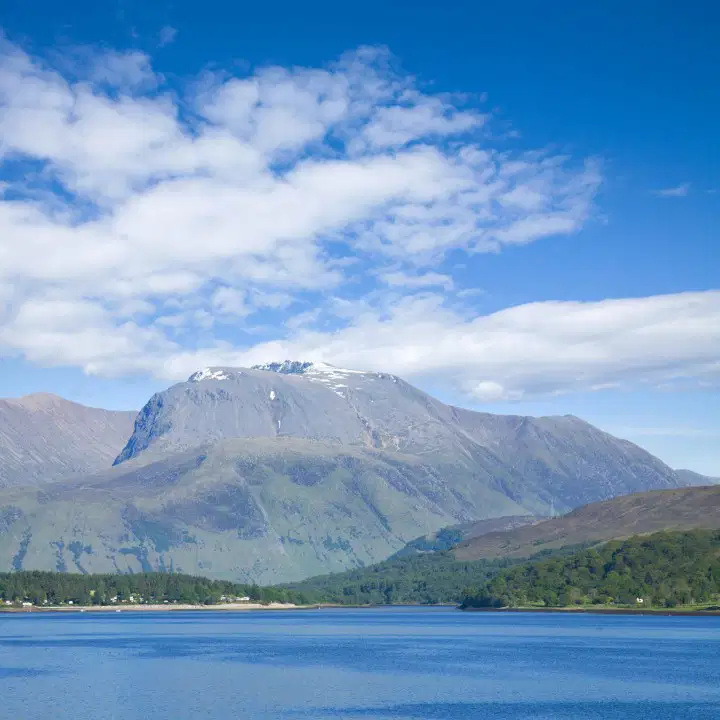
Choose all statements about Ben Nevis that are correct.
It is 1344 m high.
It is 1044 m high.
It is in the Cumbrian Mountains.
It is in the Grampian Mountains.
The Welsh Massif is also called...
the Cumbrian Mountains.
the Snowdon.
the Grampian Mountains.
the Cambrian Mountains.
Choose all places where there are plateaux.
Northern Ireland
East Anglia
Cornwall-Devon Peninsula
The Central Lowlands in Scotland

