
Filters
Resource Type


3rd Grade Continents Quizzes
Assess your Grade 3 students' understanding of continents with this comprehensive geography quiz featuring instant feedback and self-paced assessment. Practice essential questions about the seven continents to reinforce foundational geography knowledge through engaging multiple-choice and interactive formats.
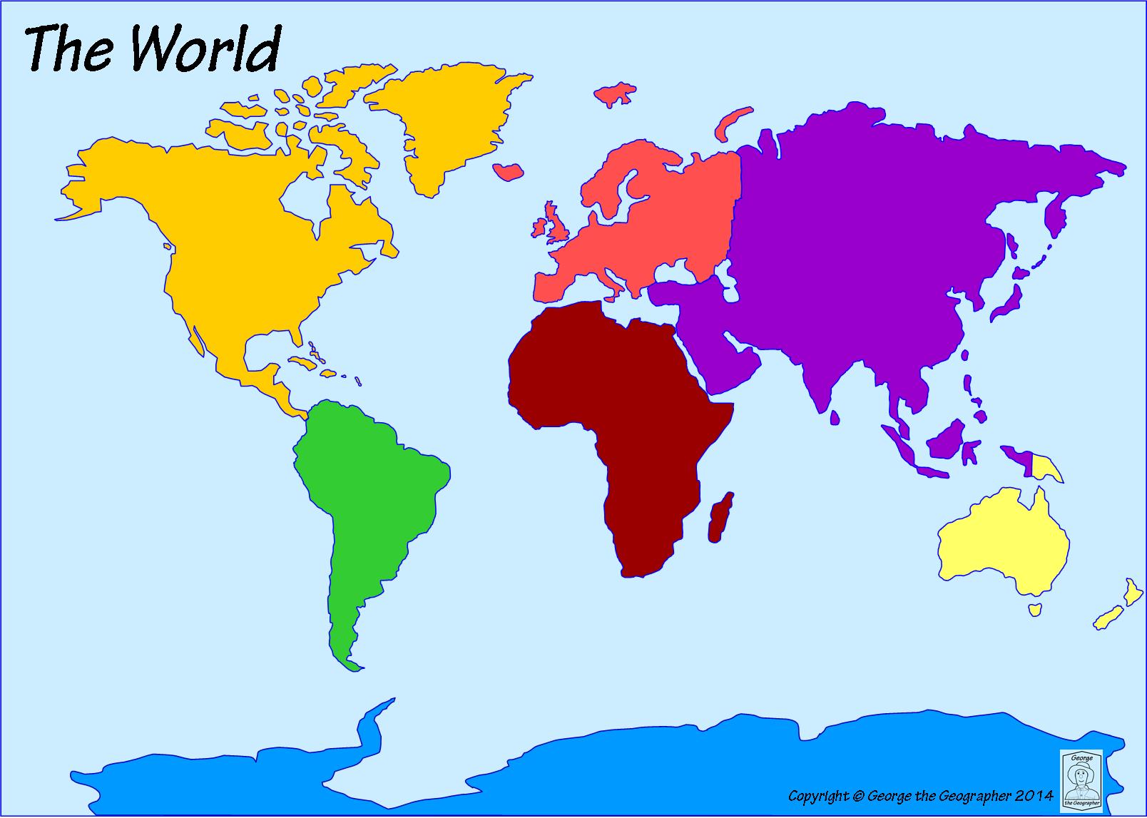
18 questions
Continents

Quiz
•
3rd Grade

22 questions
Continents/Oceans
Quiz
•
3rd Grade
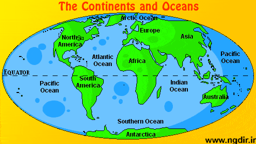
10 questions
7 Continents and 5 Oceans
Quiz
•
3rd Grade

22 questions
Continents Practice Test
Quiz
•
3rd Grade

6 questions
the seven continents
Quiz
•
3rd Grade

11 questions
The 7 Continents
Quiz
•
3rd Grade
16 questions
Continents and Oceans
Quiz
•
3rd Grade
27 questions
Continents, Oceans, and Places in the World Class work
Quiz
•
3rd Grade
11 questions
CONTINENTS AND OCEANS
Quiz
•
3rd Grade
10 questions
Continents & Oceans
Quiz
•
3rd - 5th Grade
Explore 3rd Grade Continents Quizzes
Continents serve as the foundation for understanding Earth's major landmasses, and Grade 3 students develop essential geographical literacy through comprehensive quiz-based assessment and practice questions. These educational quizzes available through Wayground focus on helping young learners identify, locate, and understand the seven continents while building fundamental map skills and spatial awareness. Students engage with practice questions that test their understanding of continent names, relative positions, distinctive features, and basic characteristics, receiving immediate feedback that reinforces correct knowledge and addresses misconceptions. The assessment format encourages active recall of geographical facts while developing critical thinking skills about how continents relate to oceans, countries, and global geography concepts appropriate for elementary learners. Wayground supports educators with access to millions of teacher-created quiz resources specifically designed for continent instruction at the Grade 3 level. Teachers benefit from robust search and filtering capabilities that allow them to locate standards-aligned content matching their curriculum requirements and student needs. The platform's differentiation tools enable instructors to customize quiz difficulty, question types, and content focus to accommodate diverse learning styles and academic levels within their classrooms. Flexible digital delivery formats make these continent quizzes ideal for whole-class instruction, small group practice, individual assessment, or homework assignments, while educators can seamlessly integrate these resources into lesson planning for initial instruction, targeted remediation, or enrichment activities that deepen students' geographical understanding and strengthen foundational skills in world geography.
FAQs
How do I teach the seven continents to elementary students?
Start by anchoring the seven continents to a world map so students can see size, shape, and relative location simultaneously. Use mnemonic devices, color-coded maps, and repeated identification activities to build recognition before moving into comparative work like population or physical features. Hands-on activities such as labeling blank maps and matching continents to defining landmarks are especially effective for building lasting spatial memory.
What activities help students practice identifying and locating the seven continents?
Blank map labeling, continent sorting cards, and fill-in-the-blank identification exercises are among the most effective practice formats for continent recognition. Students also benefit from comparative tasks that ask them to rank continents by size or population, which reinforces both name recall and geographic reasoning. Repeated low-stakes practice across varied formats is key to moving from surface recognition to confident geographic literacy.
What mistakes do students commonly make when learning the continents?
The most common errors involve confusing Europe and Asia as separate entities when they share the Eurasian landmass, and misidentifying Australia as both a continent and a country. Students also frequently misjudge continent sizes, often underestimating Africa and overestimating Europe due to Mercator projection distortion on standard classroom maps. Addressing these misconceptions directly with accurate size-comparison visuals and discussion of map projections significantly improves conceptual accuracy.
How can I use continents quizzes to support students with different learning needs?
Continents quizzes work well for differentiation because the core task, identifying and describing landmasses, can be scaffolded in difficulty from basic labeling to analytical comparison. On Wayground, teachers can apply individual accommodations such as Read Aloud for students who need audio support, reduced answer choices to lower cognitive load, and extended time for students who need additional processing time. These settings can be applied per student without notifying the rest of the class, making differentiation discreet and efficient.
How do I use Wayground's continents quizzes in my classroom?
Wayground's continents quizzes are available as printable PDFs for traditional classroom use and in digital formats for technology-integrated learning environments. Teachers can also host the quizzes as a live quiz directly on Wayground, which is useful for formative assessment or whole-class review. Both formats include complete answer keys, so teachers can use them for independent practice, guided instruction, or quick assessment with minimal prep time.
How do I assess whether students have mastered the continents?
Effective assessment for continent mastery includes both recall tasks, such as labeling a blank world map from memory, and application tasks, such as explaining why Antarctica is classified as a continent despite having no permanent population. Look for accuracy in spelling continent names, correct placement on a map, and the ability to distinguish continents from countries or regions. Short written responses asking students to compare two continents on a specific characteristic, such as size or climate, reveal deeper understanding beyond rote memorization.

Accessibility
Features
Wayground Super
School & District
Wayground for Business
Create a quiz
Create a presentation
Wayground AI
Subjects
Mathematics
Social Studies
Science
Physics
Chemistry
Biology
About
Our Story
Wayground Blog
Media Kit
Careers
Support
F.A.Q.
Help & Support
Privacy Policy
Terms of Service
Teacher Resources
2026 Wayground


Get our app

