
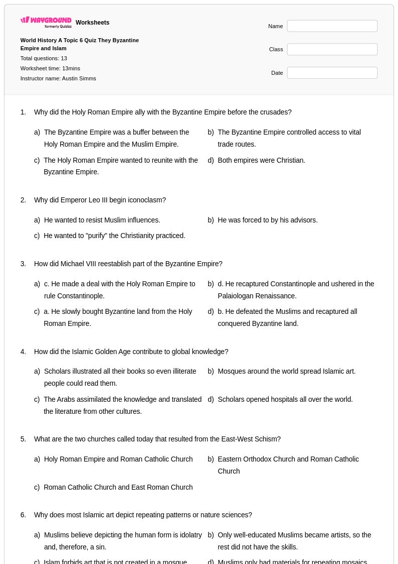
13Q
12th
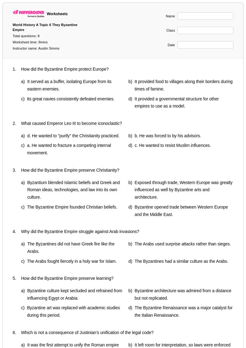
8Q
12th
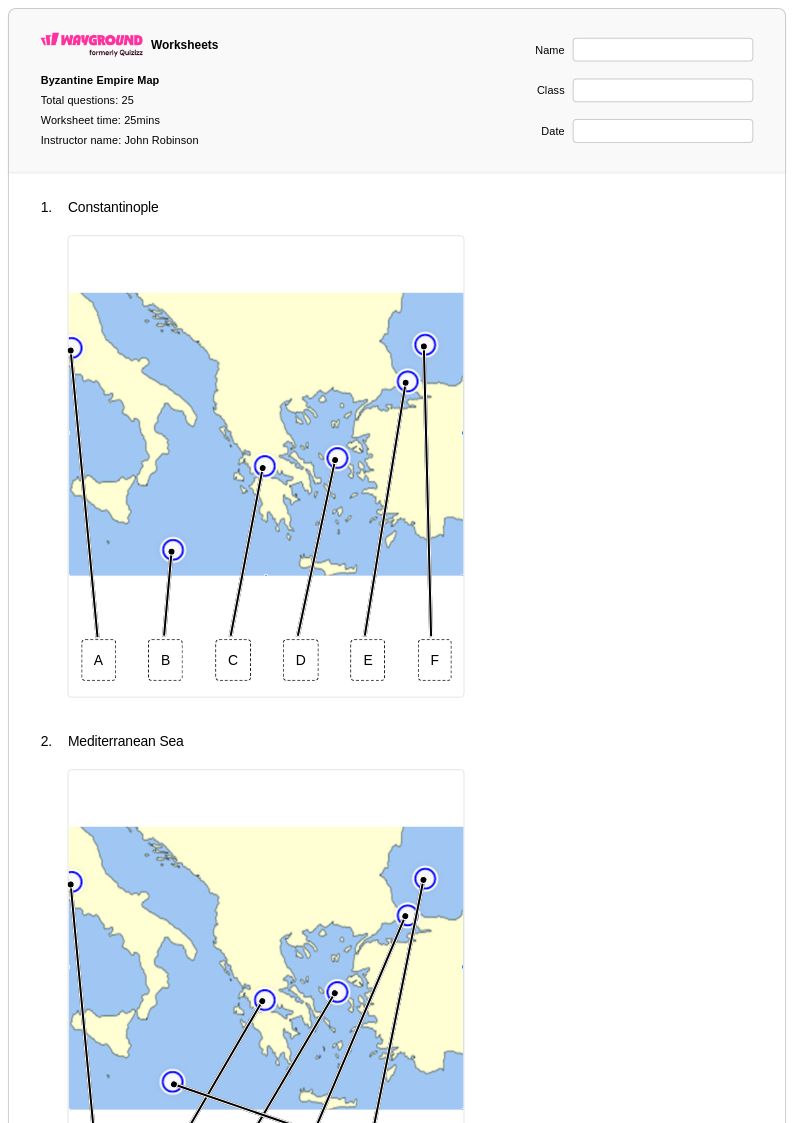
25Q
9th - Uni
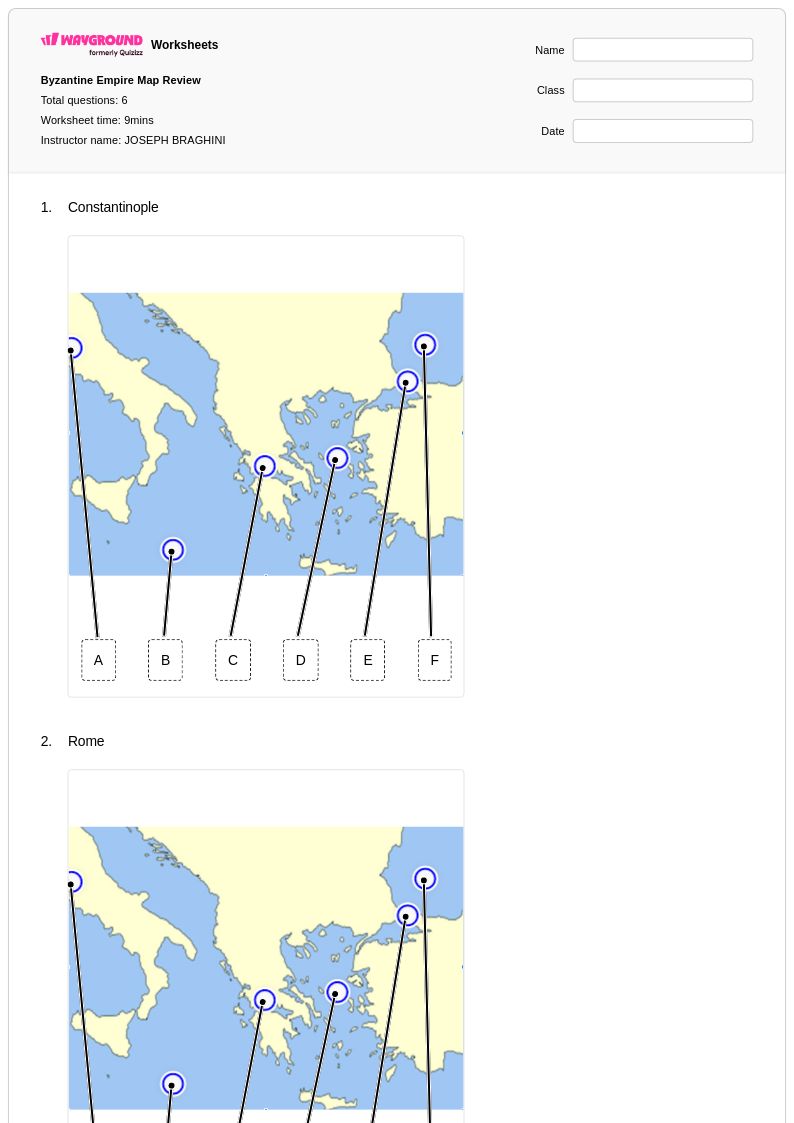
6Q
9th - 12th
11Q
9th - 12th
15Q
7th - Uni
15Q
7th - Uni
25Q
7th - Uni
15Q
7th - Uni
15Q
7th - Uni
15Q
9th - Uni
21Q
9th - 12th
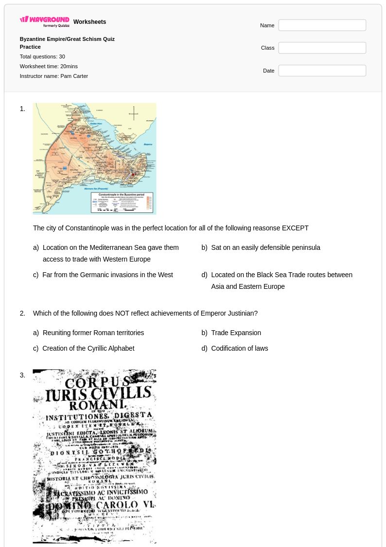
30Q
9th - 12th
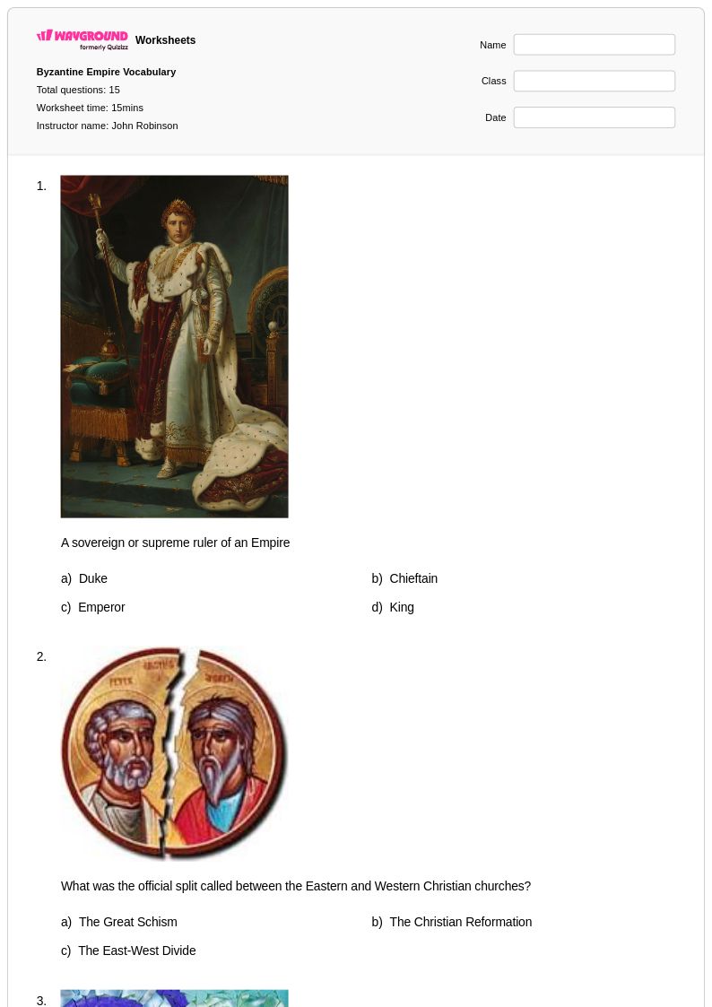
15Q
7th - Uni
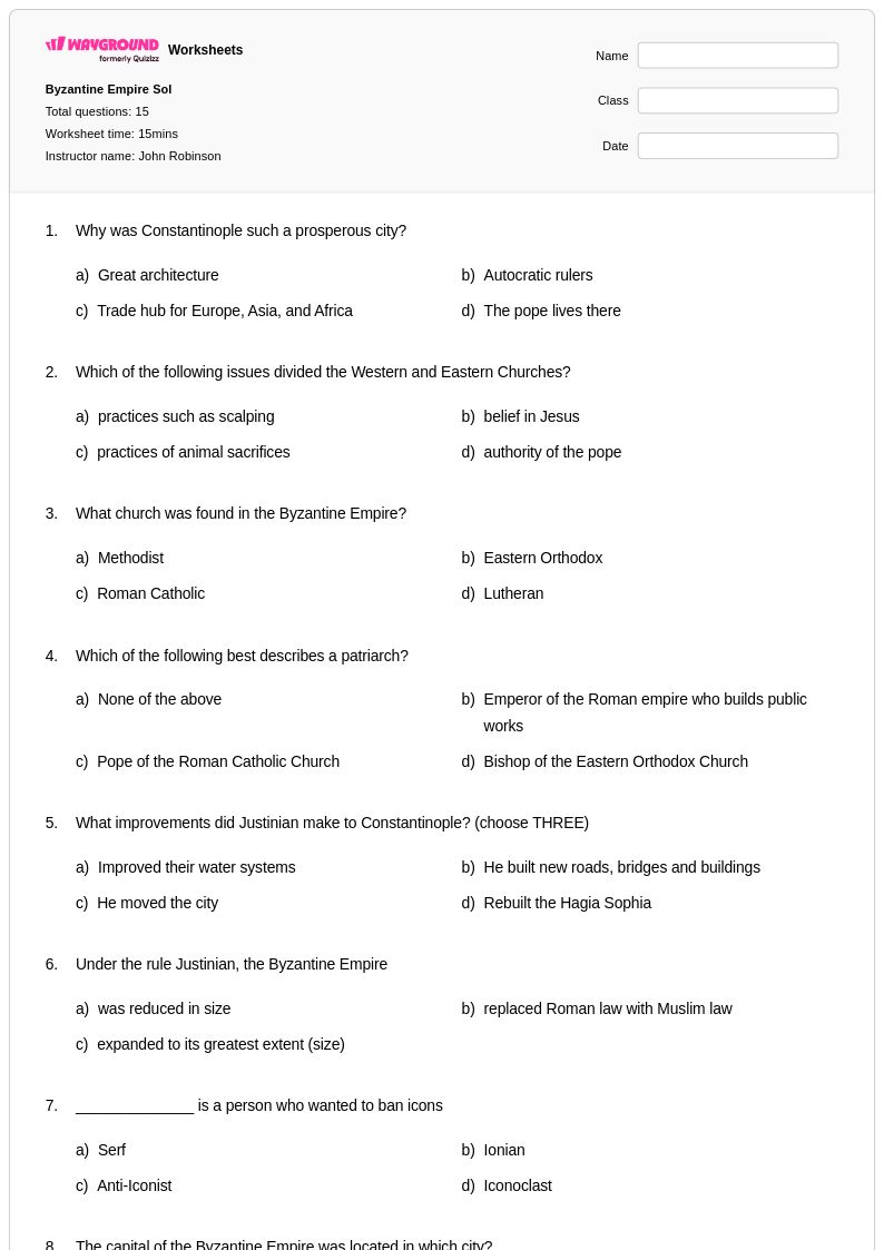
15Q
9th - Uni
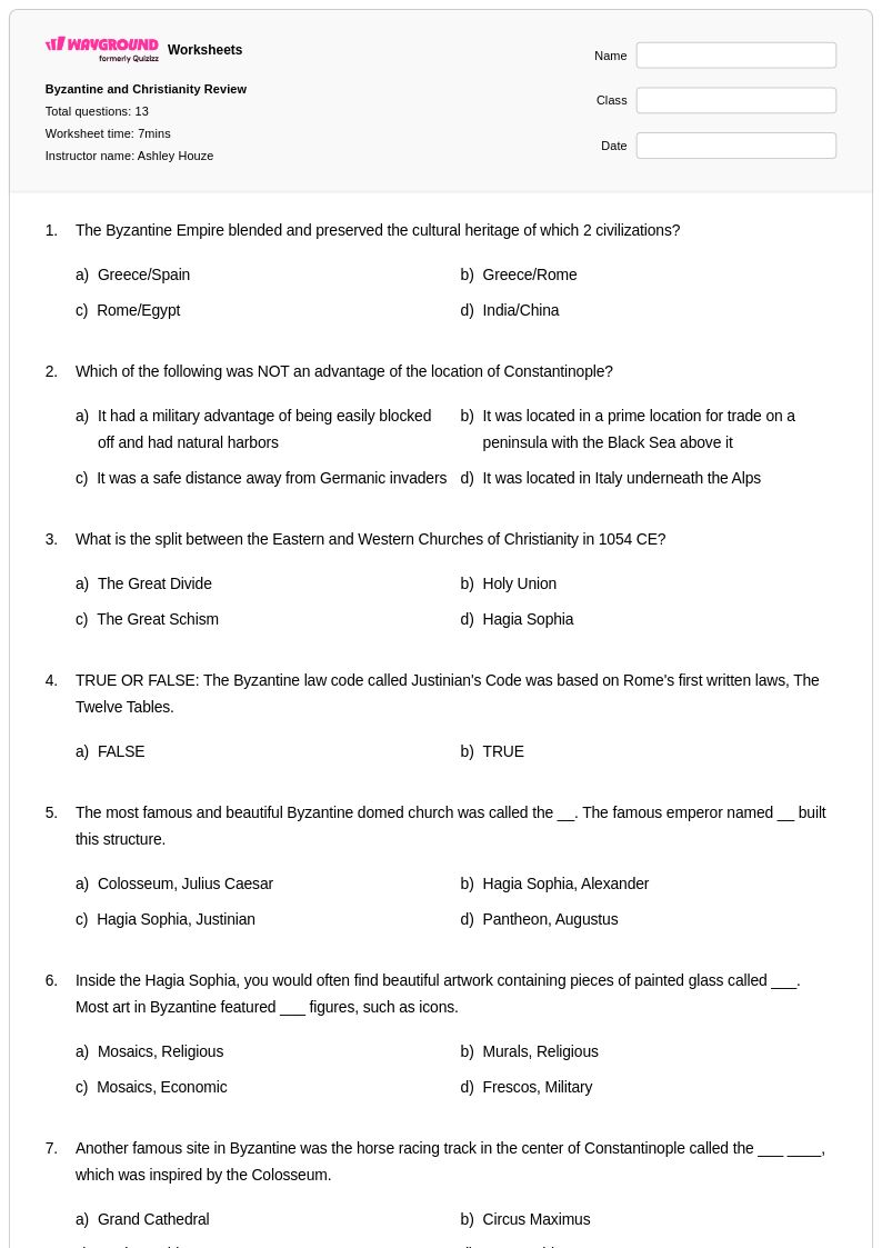
13Q
9th - 12th
16Q
12th
21Q
9th - 12th
25Q
7th - Uni
21Q
10th - Uni
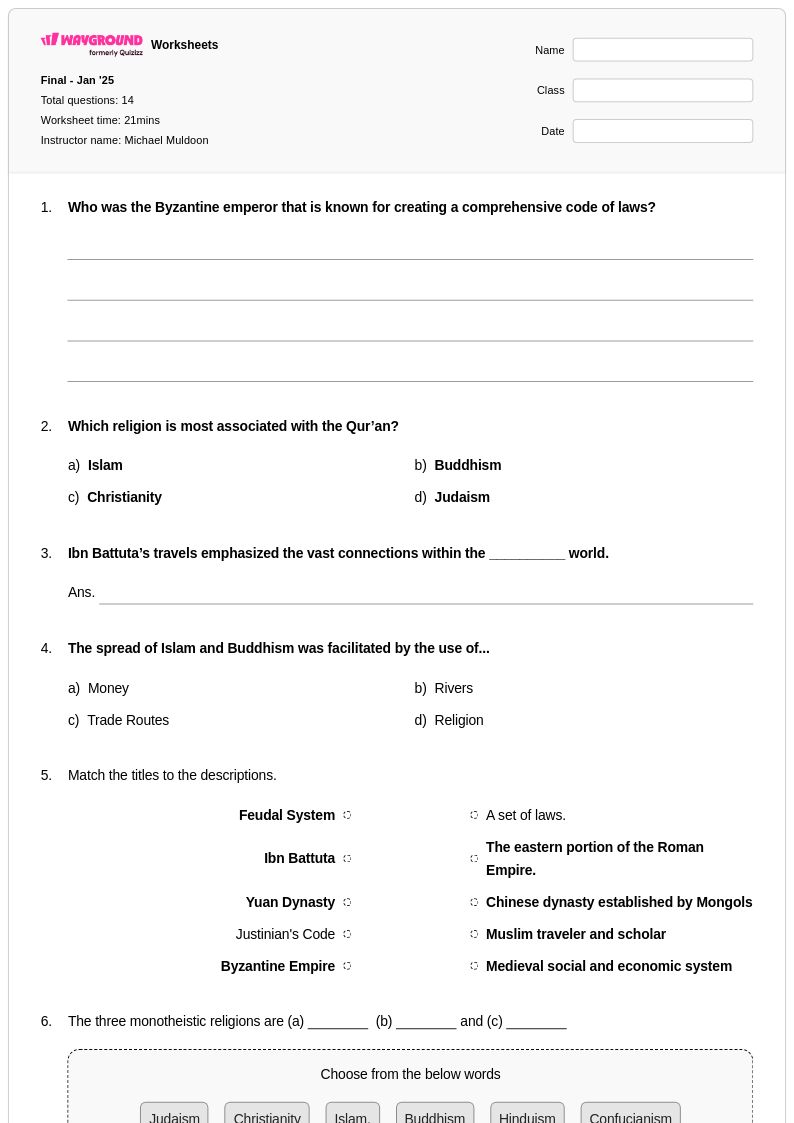
14Q
9th - Uni
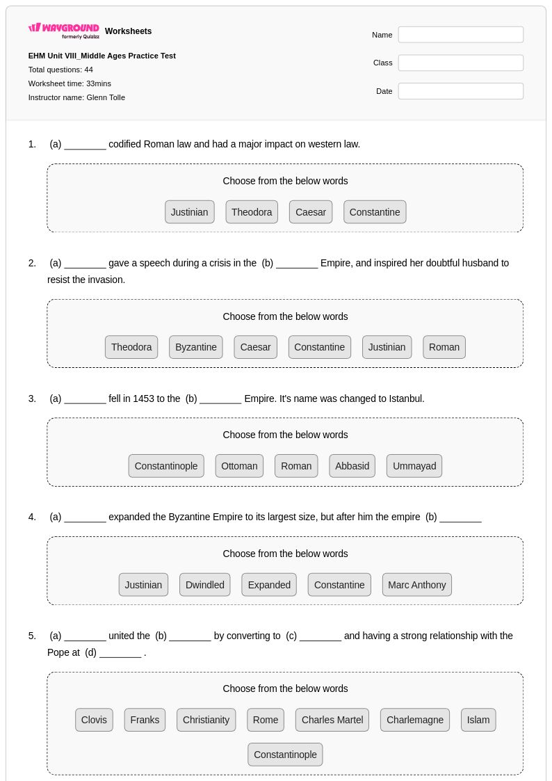
44Q
9th - 12th
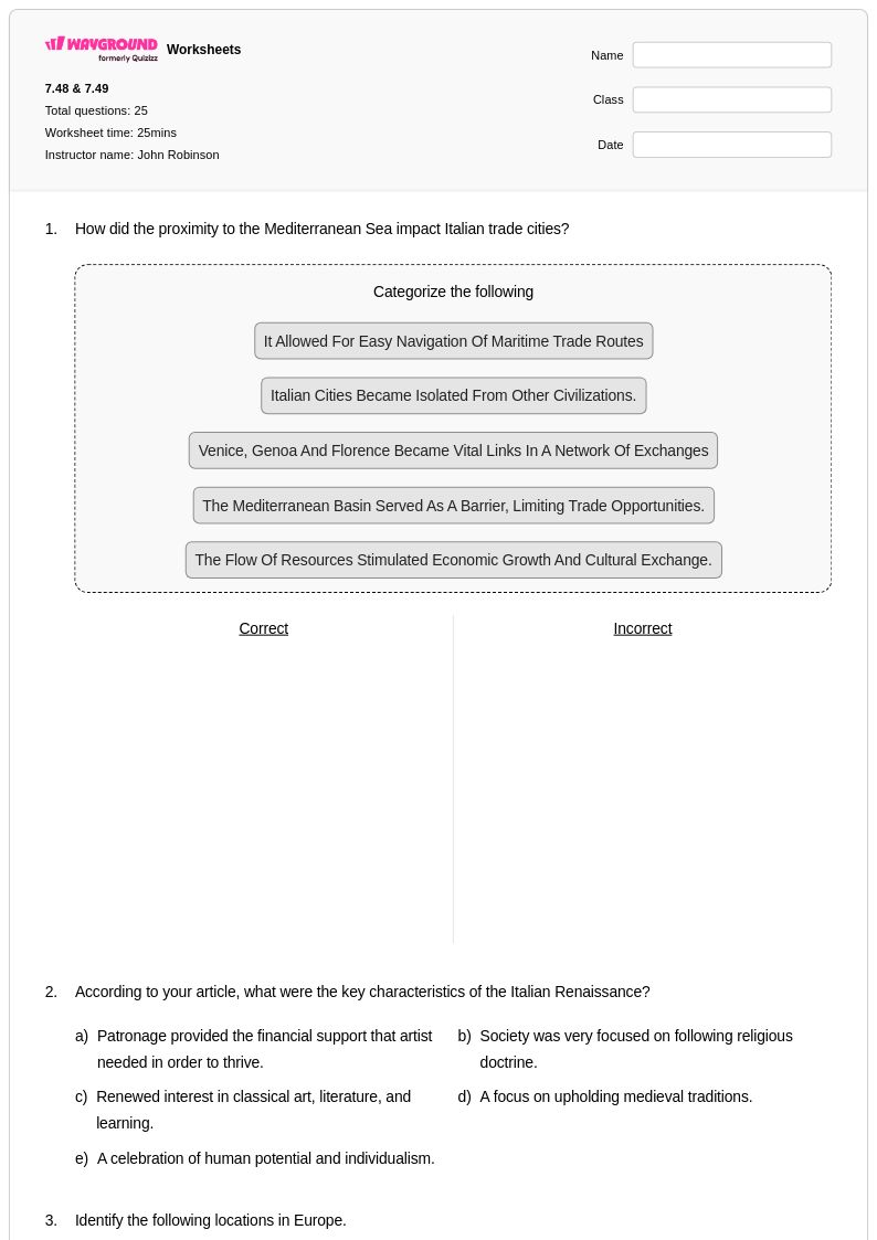
25Q
7th - Uni
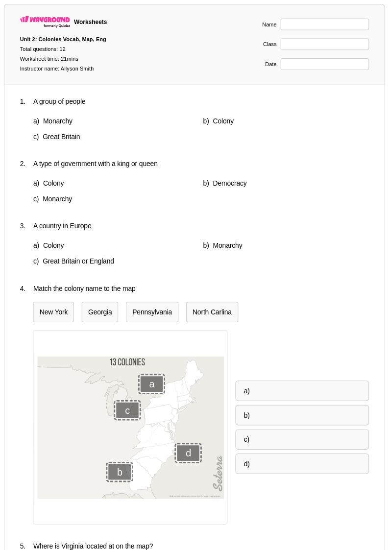
12Q
12th
Explore outras planilhas de assuntos para year 12
Explore printable Byzantine Empire Mapping worksheets for Year 12
Byzantine Empire mapping worksheets available through Wayground (formerly Quizizz) provide Year 12 students with essential cartographic analysis tools to explore one of history's most enduring civilizations. These comprehensive printables strengthen critical geographical and historical thinking skills by requiring students to examine the empire's territorial evolution from its establishment in 330 CE through its final collapse in 1453. Students engage with detailed maps showing key periods such as Justinian's conquests, the impact of Arab invasions, and the gradual territorial losses to emerging powers, while practicing map interpretation, spatial reasoning, and chronological analysis. Each worksheet includes detailed answer keys and focuses on specific aspects like trade routes along the Silk Road, the strategic importance of Constantinople, military campaigns, and cultural diffusion patterns. These free practice problems challenge students to connect geographical factors with political, economic, and social developments, fostering deeper understanding of how location influenced Byzantine imperial strategy and survival.
Wayground (formerly Quizizz) supports educators with millions of teacher-created Byzantine Empire mapping resources that streamline lesson planning and enhance student engagement through robust search and filtering capabilities. Teachers can easily locate materials aligned with state and national social studies standards, then utilize differentiation tools to modify content complexity for diverse learning needs within their Year 12 classrooms. The platform's flexible customization options allow educators to adapt existing worksheets or create original materials targeting specific learning objectives, whether focusing on territorial expansion, religious influence, or economic networks. Available in both printable and digital pdf formats, these mapping exercises serve multiple pedagogical purposes including remediation for struggling students, enrichment activities for advanced learners, and regular skill practice to reinforce geographical literacy. The comprehensive collection enables teachers to scaffold instruction effectively, moving students from basic map reading to sophisticated analysis of how geographical factors shaped Byzantine political decisions and cultural development across more than a millennium.
FAQs
How do I teach Byzantine Empire geography to middle or high school students?
What map skills do Byzantine Empire mapping worksheets help students practice?
What misconceptions do students commonly have about the Byzantine Empire's geography?
How can I use Byzantine Empire mapping worksheets to assess student understanding?
How do I use Wayground's Byzantine Empire mapping worksheets in my classroom?