Year 11 geocaching worksheets and printables help students master outdoor navigation skills, treasure hunting techniques, and GPS technology through engaging practice problems with comprehensive answer keys available as free PDF downloads.
Explore printable Geocaching worksheets for Year 11
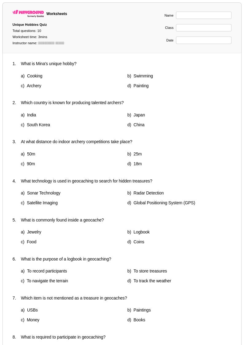
Geocaching worksheets for Year 11 students available through Wayground (formerly Quizizz) provide comprehensive educational resources that transform this modern treasure hunting activity into valuable physical education learning experiences. These carefully designed worksheets strengthen essential outdoor navigation skills, GPS technology understanding, coordinate system mastery, and outdoor safety protocols while engaging students in real-world problem-solving scenarios. Students develop critical thinking abilities through practice problems that involve interpreting topographical maps, calculating distances and bearings, and understanding latitude and longitude coordinates. The collection includes detailed answer key materials and free printable resources that guide students through the fundamentals of geocaching equipment, cache types, environmental ethics, and Leave No Trace principles, ensuring they gain both technical proficiency and responsible outdoor recreation habits.
Wayground (formerly Quizizz) empowers physical education teachers with millions of teacher-created geocaching resources that seamlessly integrate technology-based outdoor activities into structured learning environments. The platform's robust search and filtering capabilities allow educators to quickly locate materials that align with specific curriculum standards and learning objectives, while differentiation tools enable customization for varying skill levels within Year 11 classrooms. Teachers can access both printable pdf formats for field-based activities and digital versions for classroom preparation, supporting flexible lesson planning that accommodates diverse learning environments. These comprehensive worksheet collections facilitate targeted skill practice, provide remediation opportunities for students struggling with navigation concepts, and offer enrichment activities for advanced learners, ultimately enhancing the educational value of outdoor adventure programming through systematic, standards-aligned geocaching instruction.
FAQs
How do I teach geocaching concepts in the classroom before taking students outside?
Before heading outdoors, teach geocaching through structured classroom preparation that covers coordinate systems, map reading, and GPS technology basics. Start with coordinate plotting on paper maps so students understand latitude and longitude before handling devices. Introduce compass navigation and safety protocols as standalone lessons, then connect those skills to what students will apply in the field. This classroom-first approach builds the foundational literacy students need to navigate confidently during live geocaching expeditions.
What skills do geocaching worksheets help students practice?
Geocaching worksheets target a specific cluster of interdependent skills: reading and plotting geographic coordinates, interpreting topographic and trail maps, using compass bearings, and understanding how GPS technology determines location. Practice problems help students apply these skills in progressively complex scenarios, from basic coordinate identification to multi-step navigation challenges. Because geocaching requires students to synthesize map, compass, and GPS knowledge simultaneously, worksheet practice that addresses each skill individually before combining them is especially effective.
What mistakes do students commonly make when learning to read coordinates for geocaching?
The most common error is confusing latitude and longitude order — students frequently reverse the two when plotting or recording coordinates, which can place a point hundreds of miles off target. Students also struggle with decimal degree notation versus degrees-minutes-seconds format, especially when switching between GPS devices and paper maps that use different conventions. A third frequent mistake is misreading the direction indicators (N, S, E, W), particularly in the southern and western hemispheres where negative values apply. Targeted practice problems that isolate each of these error types help students self-correct before they're navigating outdoors.
How can I differentiate geocaching instruction for students at different skill levels?
For beginners, focus on basic coordinate plotting using simple grid systems before introducing real-world GPS coordinates. Advanced students can work with multi-point navigation challenges, elevation reading, and wilderness safety decision-making. On Wayground, teachers can apply student-level accommodations including read aloud support for students who need text read to them, reduced answer choices to lower cognitive load for struggling learners, and extended time settings configured per student — all without notifying the rest of the class.
How do I use Wayground's geocaching worksheets in my physical education class?
Wayground's geocaching worksheets are available as printable PDFs for traditional classroom use and in digital formats for technology-integrated environments, including the option to host them as a quiz directly on Wayground. Teachers can use print versions for pre-expedition preparation lessons and digital formats for follow-up review after field activities. All worksheets include complete answer keys, supporting both independent student practice and guided whole-class instruction.