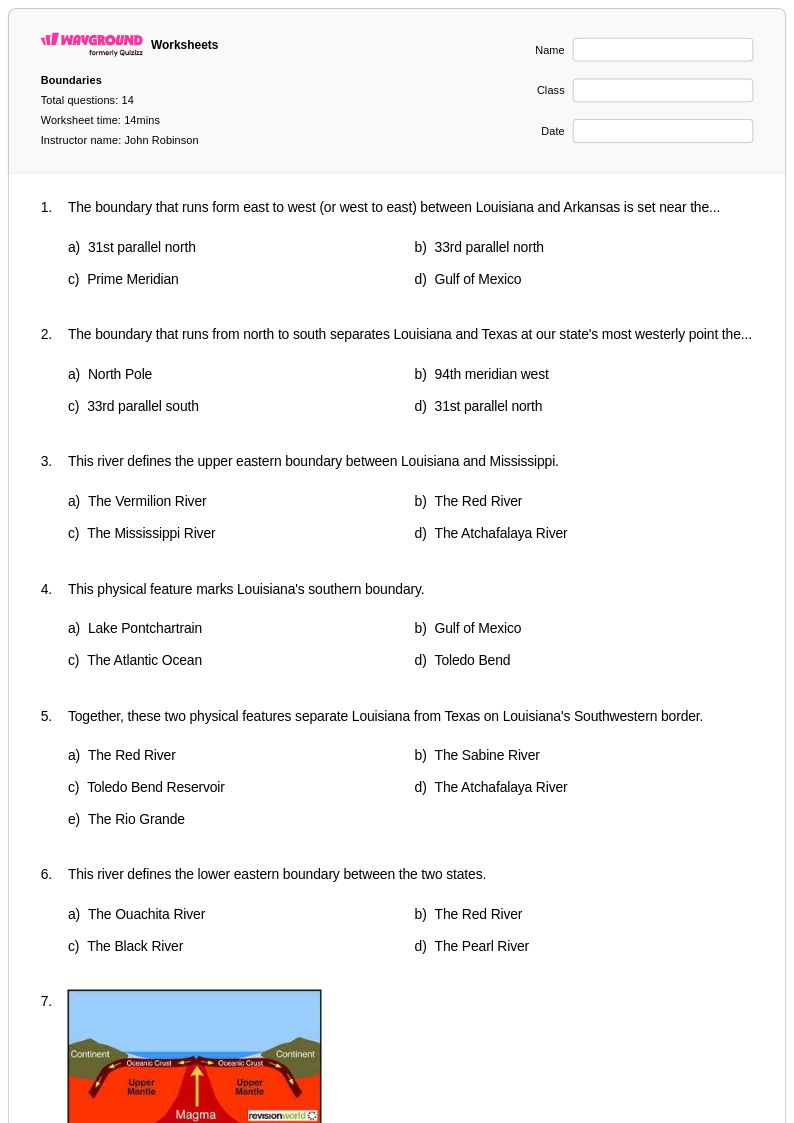
14 Q
9th - Uni
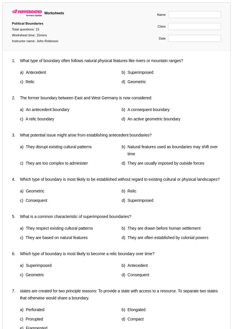
15 Q
9th - Uni
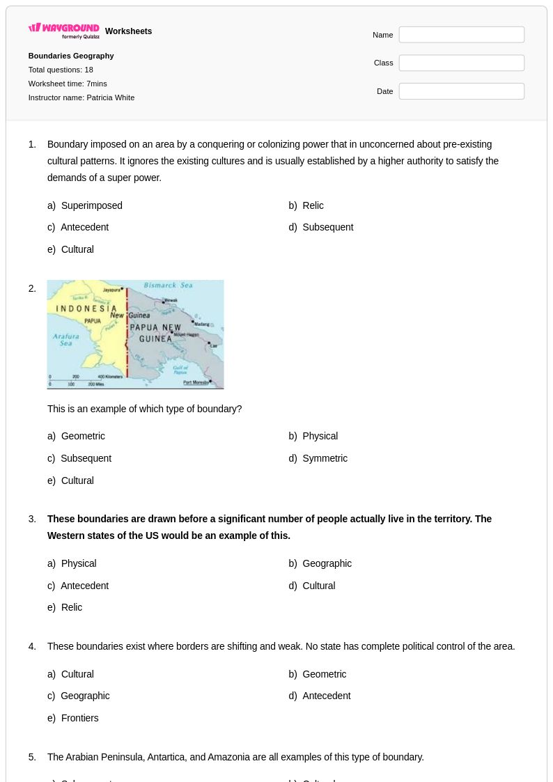
18 Q
9th - Uni
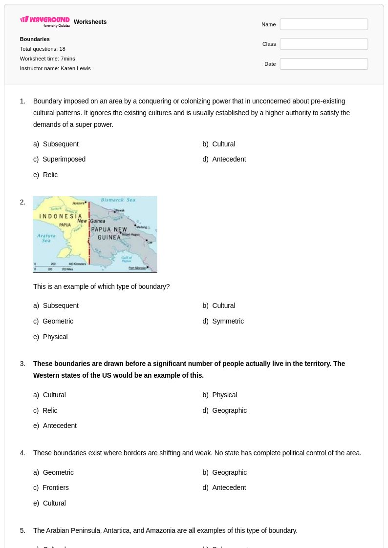
18 Q
9th - Uni
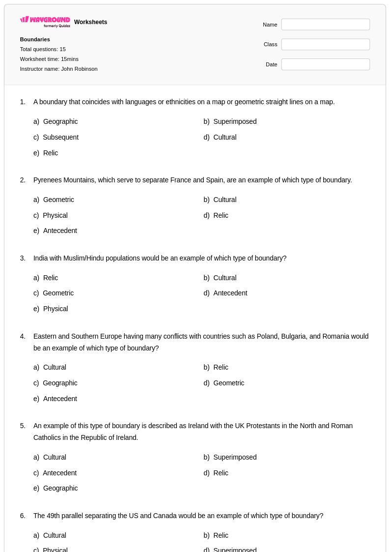
15 Q
9th - Uni
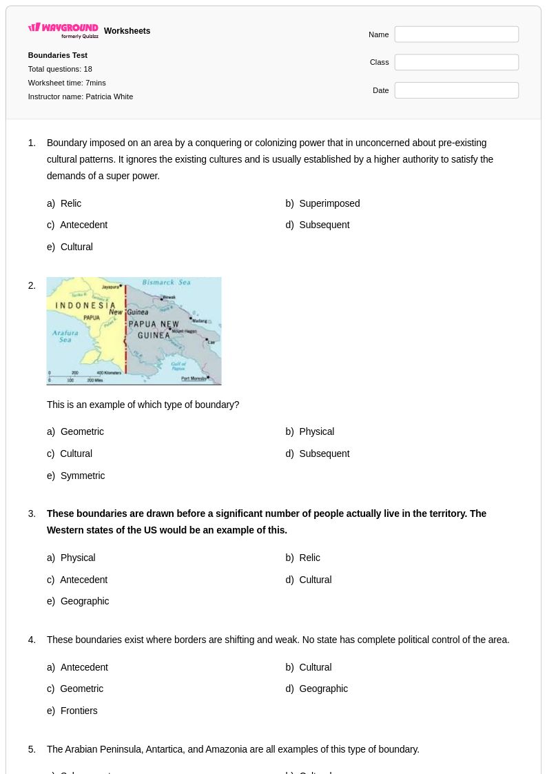
18 Q
9th - Uni
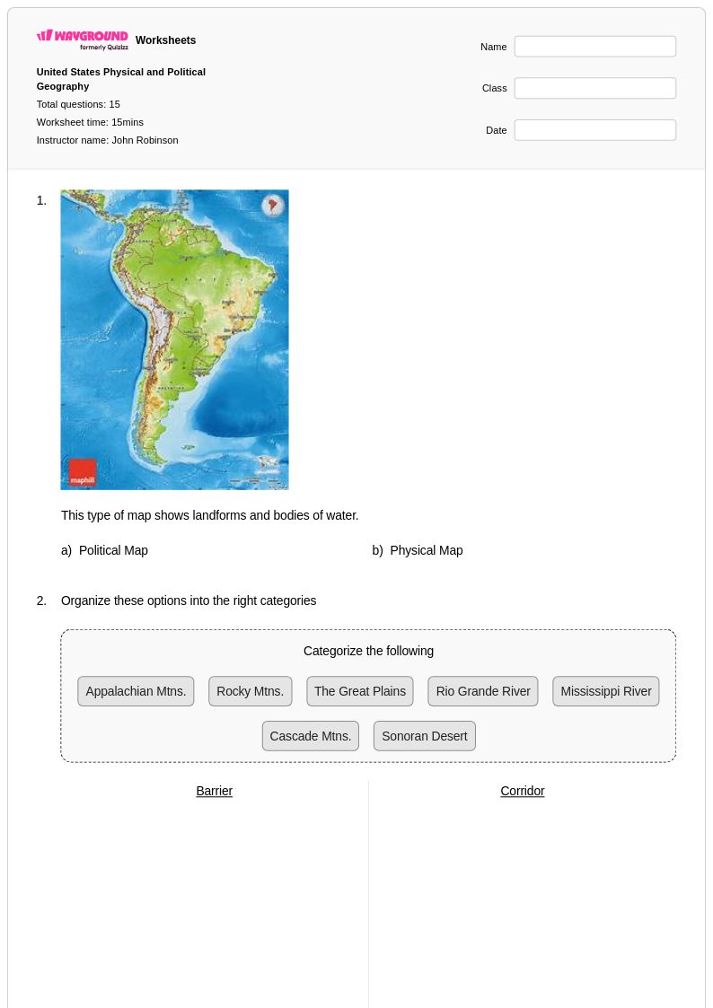
15 Q
6th - Uni
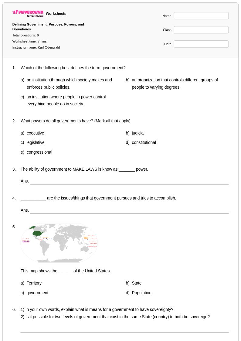
6 Q
9th - 12th
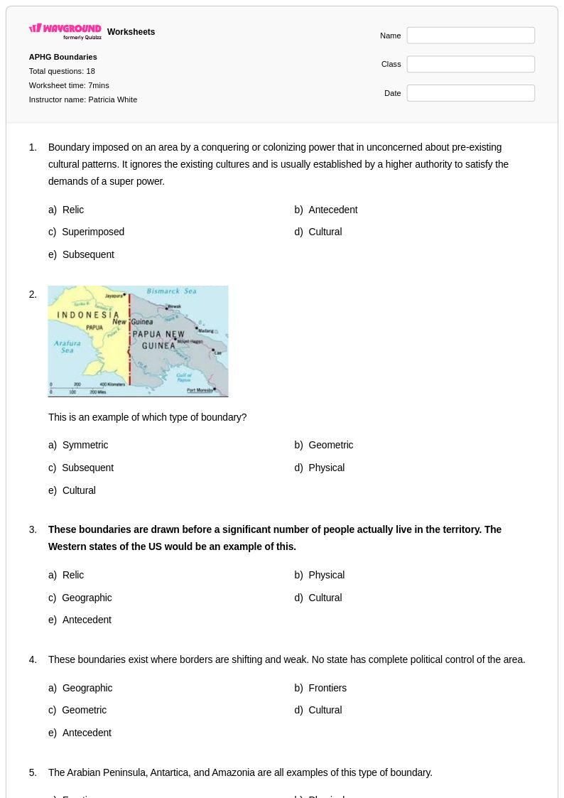
18 Q
9th - Uni
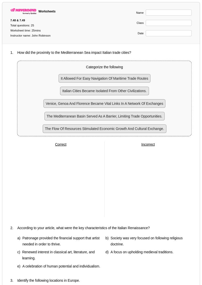
25 Q
7th - Uni
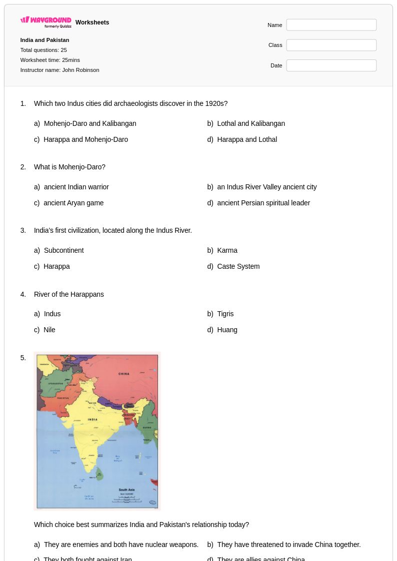
25 Q
7th - Uni
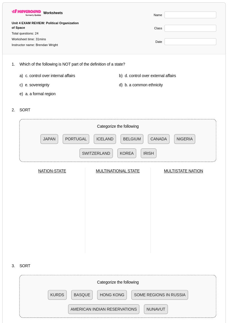
24 Q
9th - Uni
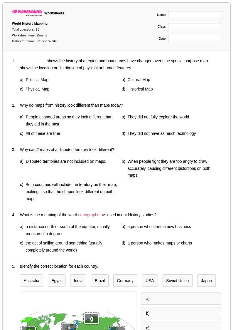
25 Q
6th - Uni
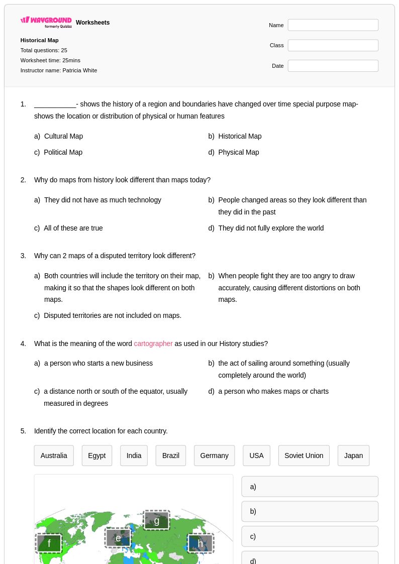
25 Q
6th - Uni
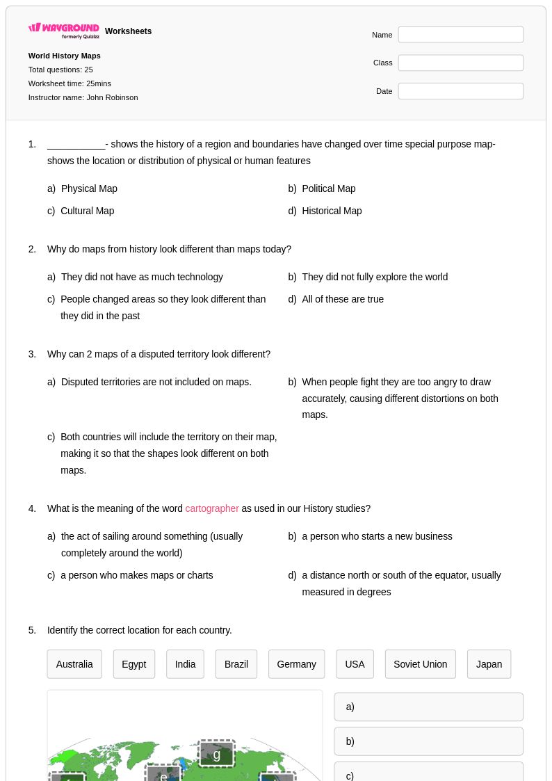
25 Q
6th - Uni
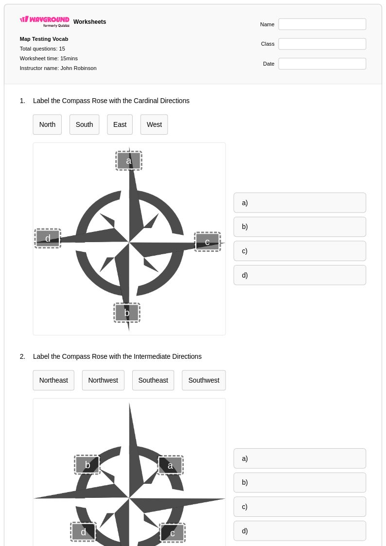
15 Q
5th - Uni
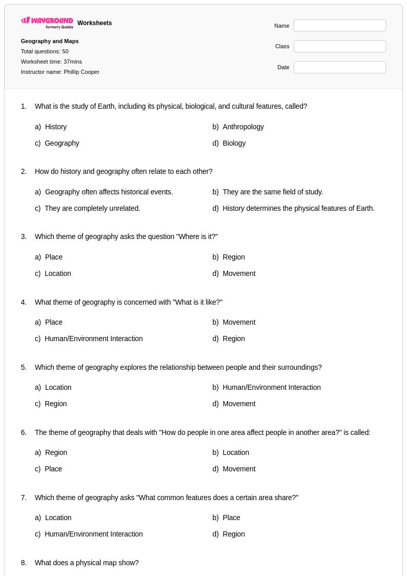
50 Q
6th - Uni
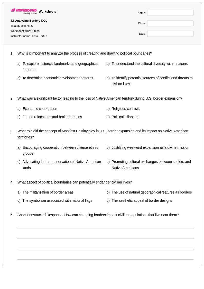
5 Q
9th - 12th
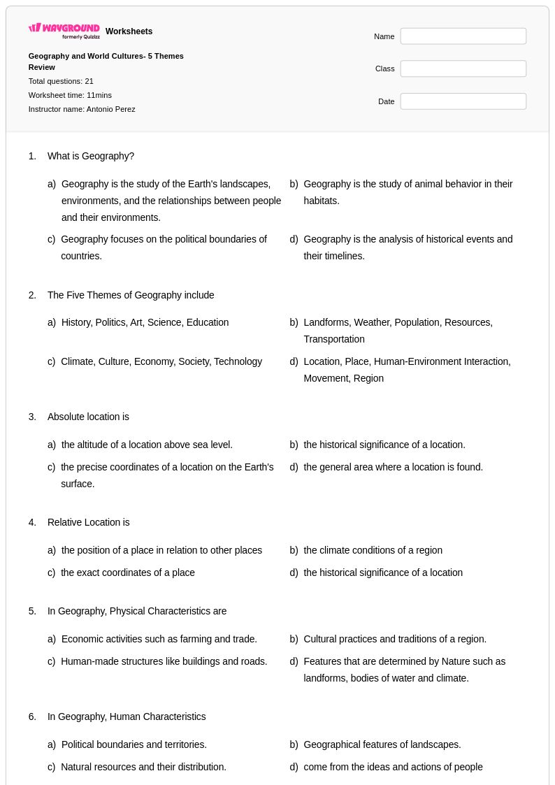
21 Q
9th - 12th
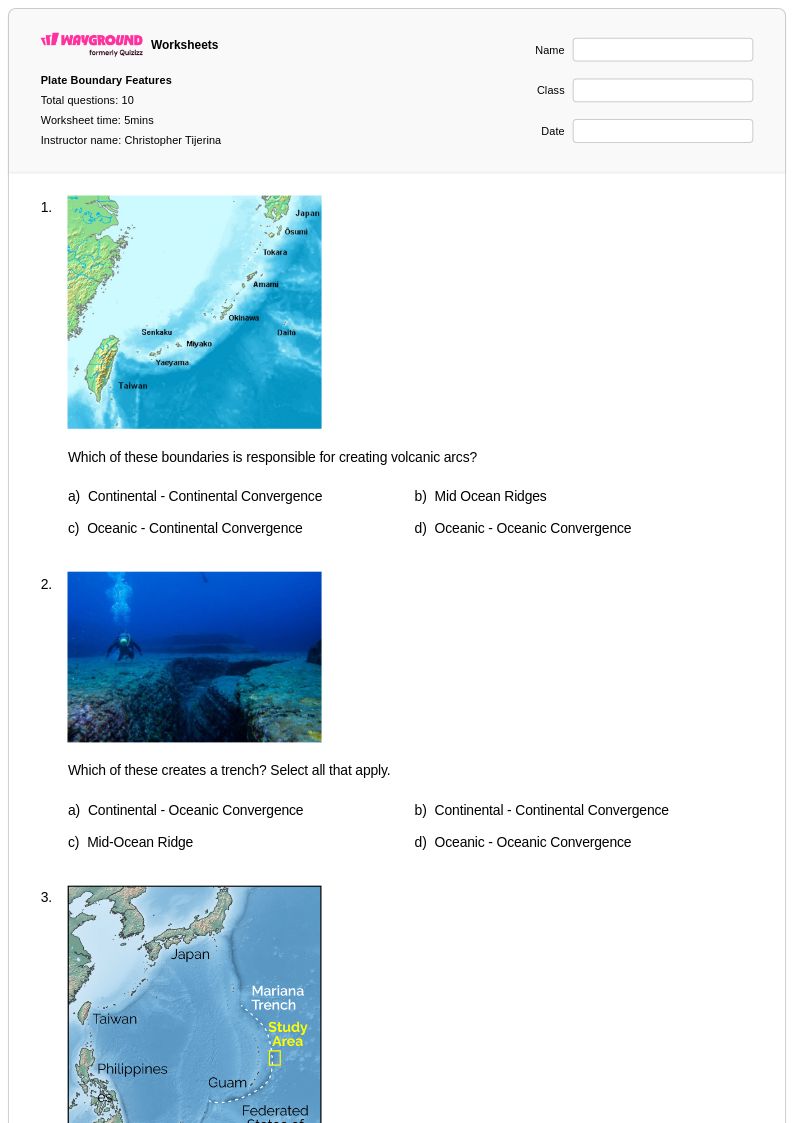
10 Q
8th - 12th
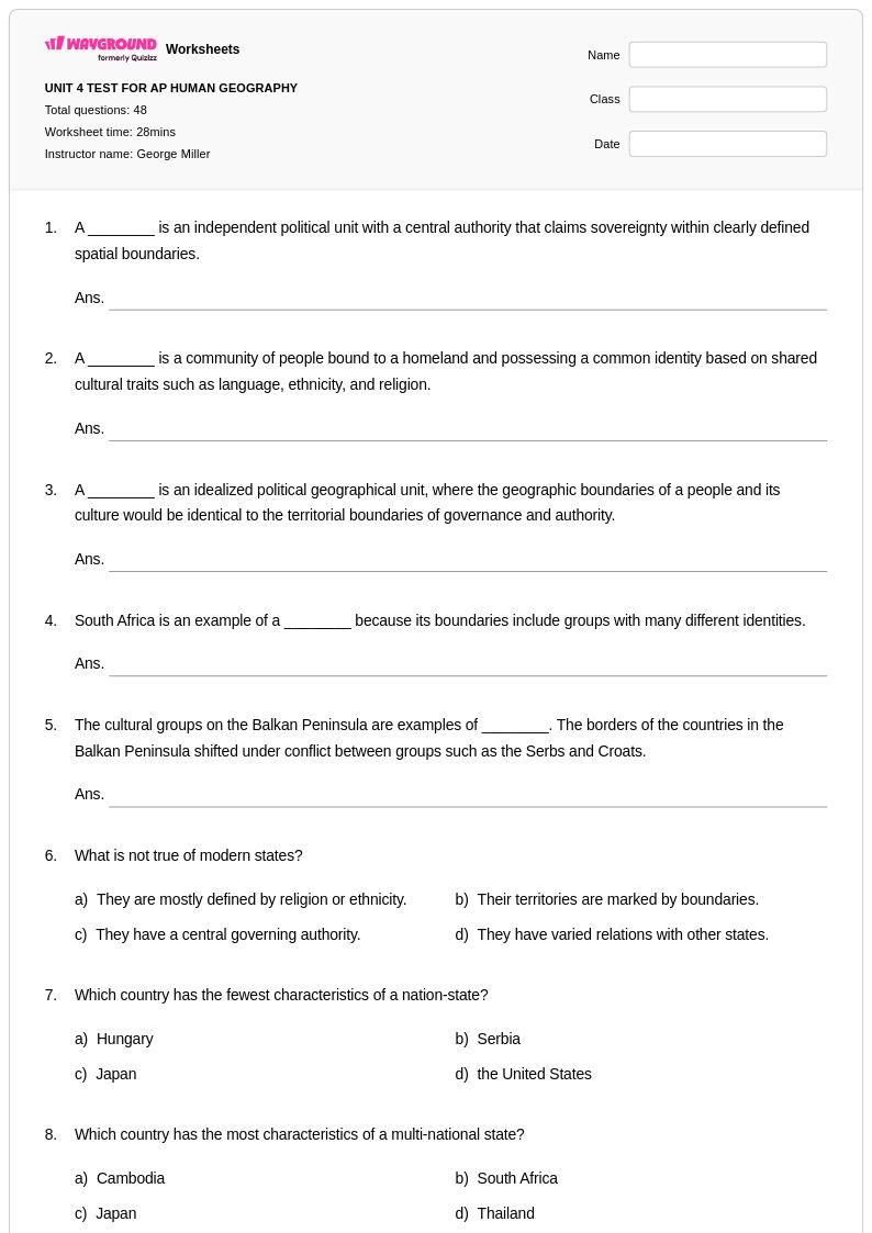
51 Q
9th - 12th
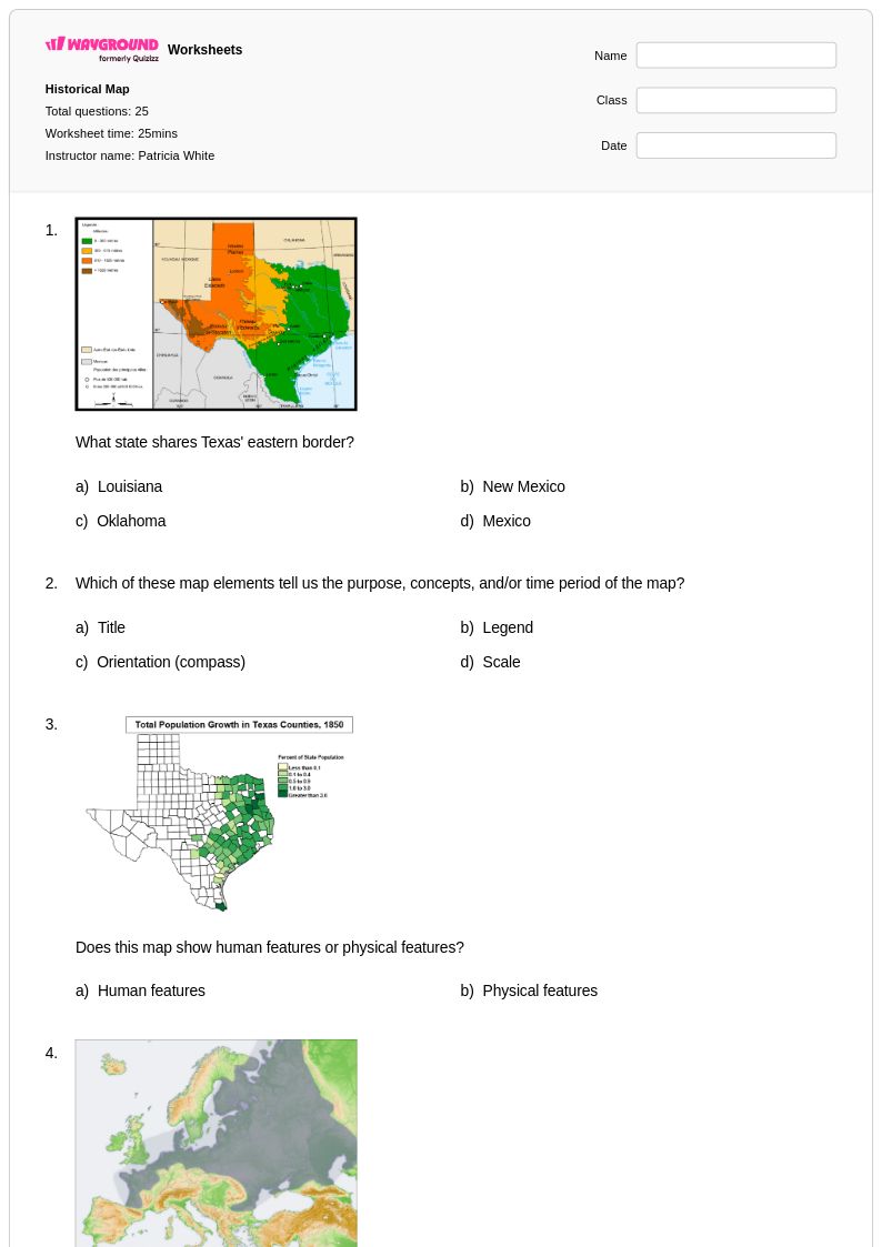
25 Q
8th - Uni
Explore Other Subject Worksheets for year 11
Explore printable Geographical Boundaries worksheets for Year 11
Geographical boundaries serve as fundamental organizing principles in Year 11 geography education, and Wayground's comprehensive worksheet collection provides students with essential practice in understanding political, physical, and cultural boundary systems worldwide. These expertly designed worksheets strengthen critical analytical skills by guiding students through complex concepts such as territorial sovereignty, border disputes, maritime boundaries, and the historical evolution of national frontiers. Students engage with real-world case studies examining contested regions, ethnic enclaves, and transnational boundaries while developing proficiency in map interpretation and spatial analysis. Each worksheet includes detailed answer keys and comprehensive explanations, ensuring students can work independently or collaborate effectively during classroom activities. The printables cover diverse boundary types from geometric borders in Africa to natural boundaries formed by mountain ranges and rivers, providing free access to high-quality practice problems that reinforce understanding of how geographical boundaries shape political, economic, and social relationships across different scales.
Wayground's platform, formerly Quizizz, empowers educators with millions of teacher-created resources specifically designed for geographical boundaries instruction, featuring robust search and filtering capabilities that allow precise alignment with curriculum standards and learning objectives. Teachers can easily differentiate instruction by selecting worksheets appropriate for various skill levels within their Year 11 classes, customizing content to address specific regional examples or theoretical frameworks emphasized in their programs. The platform's flexible format options include both printable pdf versions for traditional classroom use and digital formats that support interactive learning environments, enabling seamless integration into diverse teaching approaches. These comprehensive tools facilitate effective lesson planning by providing immediate access to materials suitable for introducing new concepts, conducting formative assessments, offering remediation support for struggling students, and creating enrichment opportunities for advanced learners seeking deeper exploration of complex boundary issues and their contemporary geopolitical implications.
FAQs
How do I teach geographical boundaries to students?
What exercises help students practice identifying types of geographical boundaries?
What common mistakes do students make when learning about geographical boundaries?
How do geographical boundaries connect to broader social studies concepts?
How can I use geographical boundaries worksheets in my classroom?
How can I support students with different learning needs when teaching geographical boundaries?