Free Printable Physical Maps Worksheets for Year 5
Year 5 physical maps worksheets and printables help students master geographical features, landforms, and topography through engaging practice problems with comprehensive answer keys available as free PDF downloads.
Explore printable Physical Maps worksheets for Year 5
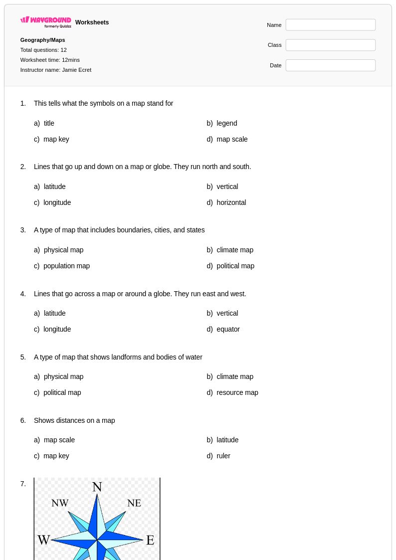
Physical maps worksheets for Year 5 students available through Wayground (formerly Quizizz) provide comprehensive practice with interpreting and analyzing the natural features of Earth's surface. These carefully designed educational resources help fifth-grade learners develop essential geography skills including identifying mountain ranges, rivers, deserts, plains, and other landforms while strengthening their ability to read elevation keys, understand topographic symbols, and interpret scale and distance measurements. Each worksheet collection includes detailed answer keys and is available as free printable pdf resources, offering structured practice problems that guide students through progressively complex map reading exercises and spatial reasoning challenges that align with grade-level geography standards.
Wayground (formerly Quizizz) empowers educators with access to millions of teacher-created physical maps resources specifically curated for effective Year 5 geography instruction. The platform's robust search and filtering capabilities allow teachers to quickly locate materials that match their curriculum requirements and state standards, while built-in differentiation tools enable customization for diverse learning needs and skill levels. These versatile worksheet collections are available in both printable pdf format and interactive digital versions, providing flexibility for classroom instruction, homework assignments, remediation support, and enrichment activities. Teachers can seamlessly integrate these resources into lesson planning workflows, using the comprehensive materials to assess student understanding, reinforce key concepts, and provide targeted skill practice that builds geographic literacy and critical thinking abilities.
FAQs
How do I teach students to read a physical map?
Start by introducing the map legend, explaining how colors and symbols represent elevation, water bodies, and landforms. Have students practice identifying features like mountain ranges, river systems, plains, and plateaus before moving to full map interpretation tasks. Building familiarity with relief patterns and elevation gradients first gives students the scaffolding they need to analyze more complex physical geography.
What exercises help students practice reading physical maps?
Effective practice includes labeling major landforms on outline maps, matching elevation colors to real-world terrain descriptions, and answering guided questions about specific geographic features on a given map. Hands-on problems that ask students to trace river systems, identify coastal features, or compare elevations across regions build the spatial reasoning skills central to physical geography literacy.
What mistakes do students commonly make when interpreting physical maps?
A common error is confusing political boundaries with physical features, since students often expect maps to show country or state lines by default. Students also frequently misread elevation color gradients, assuming darker colors always mean higher elevation regardless of the specific legend. Teaching students to always consult the legend before drawing conclusions helps correct both of these misconceptions.
How can I differentiate physical maps instruction for students at different skill levels?
For students who struggle with map reading, reduce the number of features they need to identify at once and provide a simplified legend reference. More advanced students can analyze elevation profiles or compare physical maps of two regions to draw geographic conclusions. On Wayground, teachers can apply accommodations such as reduced answer choices or read-aloud support to individual students, while the rest of the class works with standard settings.
How do I use Wayground's physical maps worksheets in my classroom?
Wayground's physical maps worksheets are available as printable PDFs for traditional classroom use and in digital formats for technology-integrated or remote learning environments, and teachers can also host them as a quiz directly on the Wayground platform. Each worksheet includes a complete answer key, making them suitable for independent practice, guided instruction, or remediation. The digital format is especially useful for assigning targeted map-reading practice as homework or in a blended learning setting.