Free Printable Political Maps Worksheets for Year 1
Explore Wayground's free Year 1 political maps worksheets and printables that help young students learn to identify countries, states, and borders through engaging practice problems with complete answer keys.
Explore printable Political Maps worksheets for Year 1
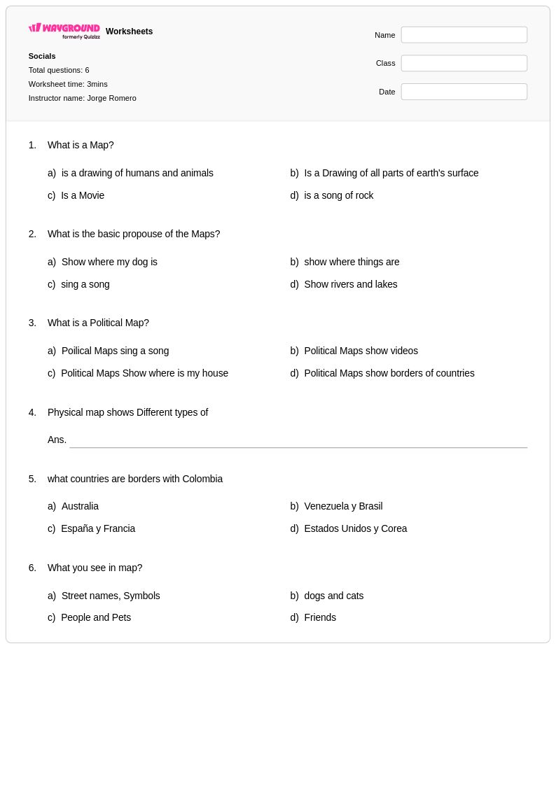
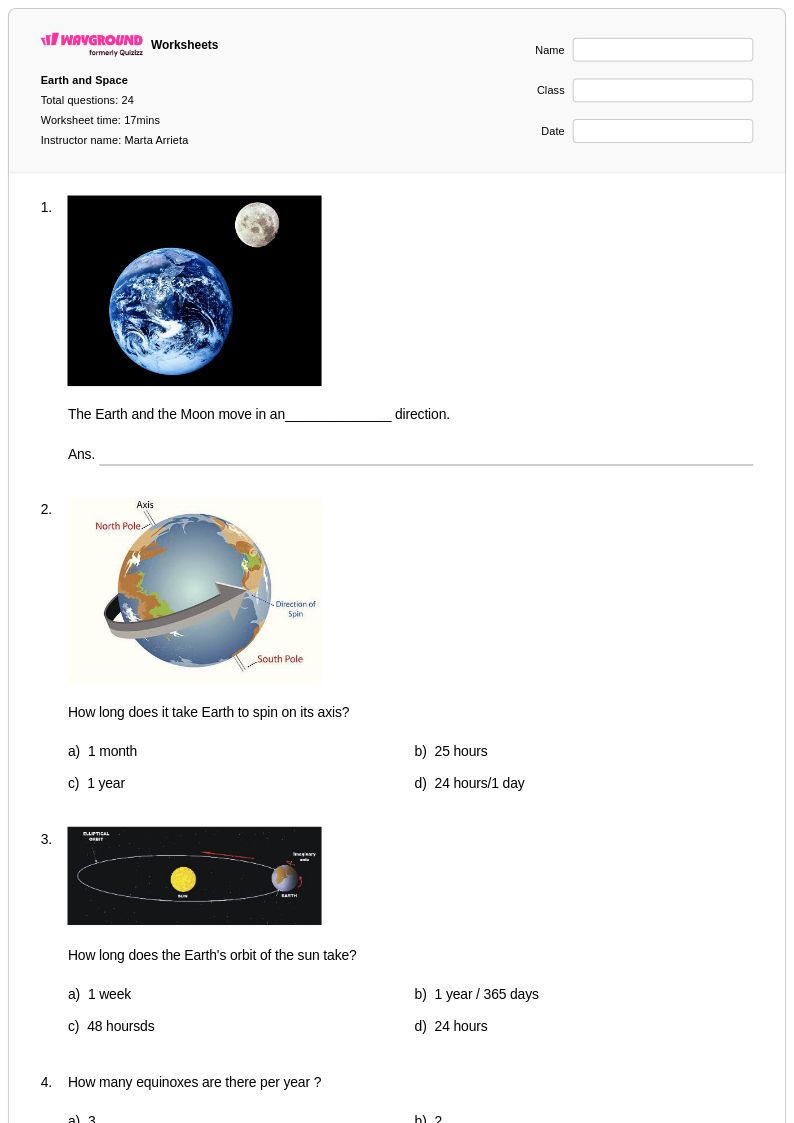
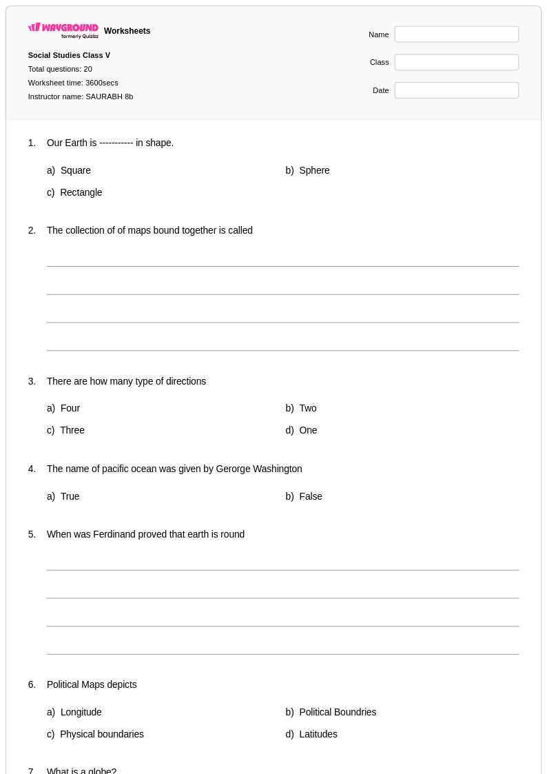
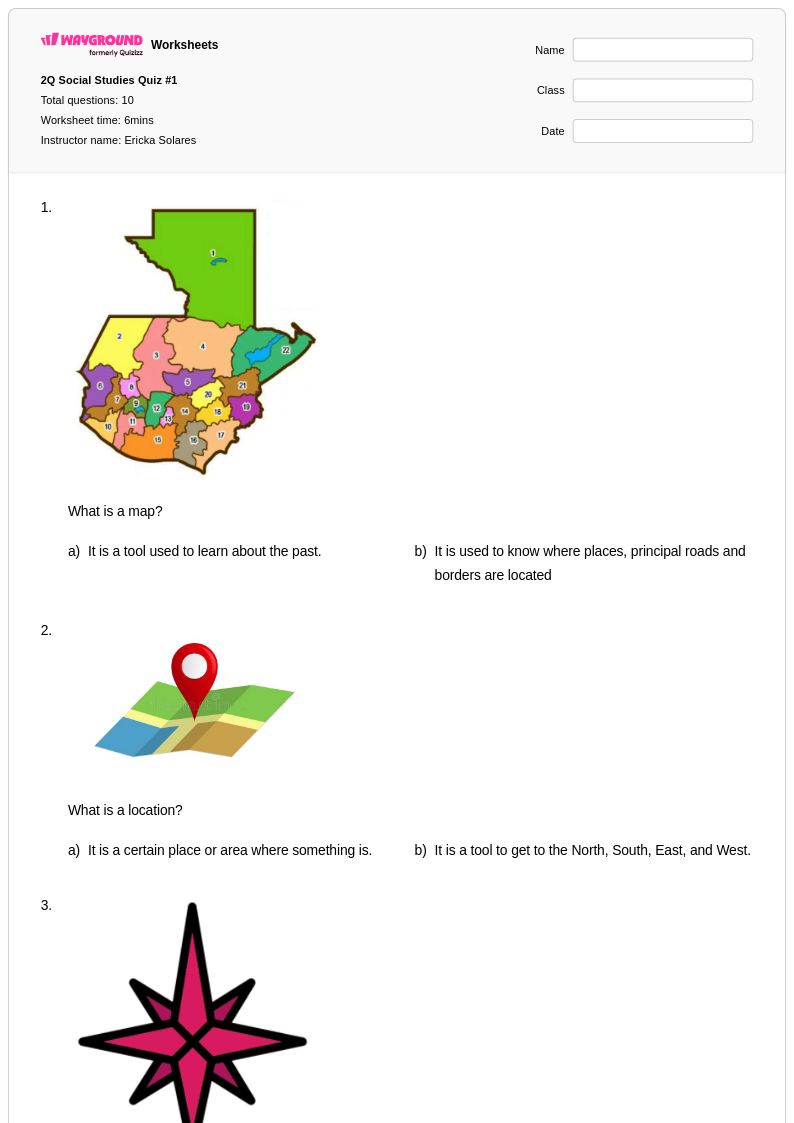
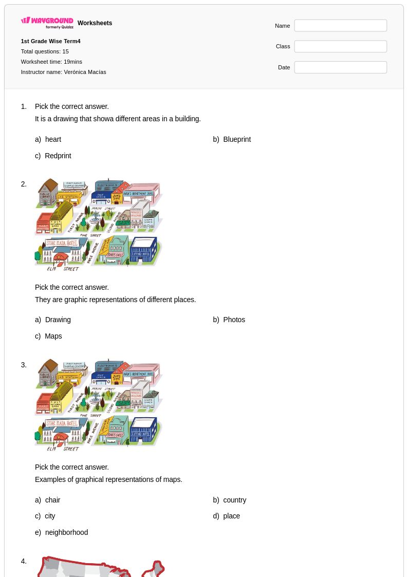
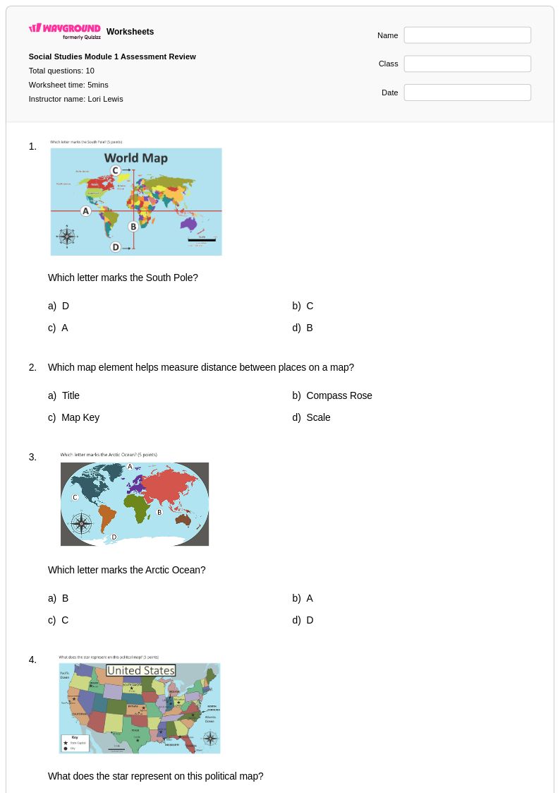
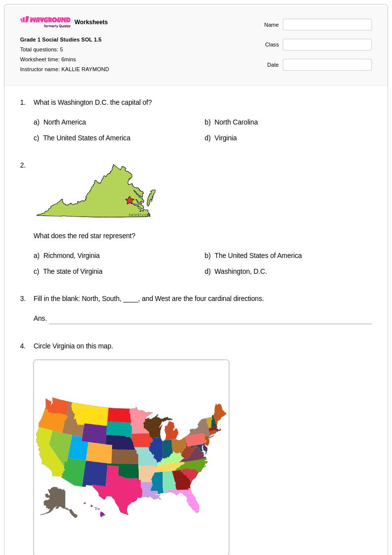
Political maps worksheets for Year 1 students available through Wayground (formerly Quizizz) introduce young learners to the fundamental concepts of boundaries, countries, and political divisions that organize our world. These carefully designed printables help first-grade students develop essential geographic literacy skills by teaching them to identify basic political features such as country borders, state lines, and major cities on simplified maps. The worksheets focus on building foundational map-reading abilities through age-appropriate activities that include coloring exercises, matching games, and simple identification tasks, with each free resource accompanied by a comprehensive answer key to support both independent learning and guided instruction. Practice problems are structured to reinforce key vocabulary terms like "border," "country," and "state" while helping students understand how political maps differ from other types of maps they may encounter in their geographic studies.
Wayground (formerly Quizizz) empowers educators with an extensive collection of millions of teacher-created political maps resources specifically tailored for Year 1 instruction, featuring robust search and filtering capabilities that allow teachers to quickly locate materials aligned with state social studies standards. The platform's differentiation tools enable instructors to customize worksheets based on individual student needs, whether for remediation support or enrichment activities, while the flexible format options include both printable pdf versions for classroom use and digital formats for interactive learning experiences. These comprehensive features streamline lesson planning by providing educators with ready-to-use materials that can be seamlessly integrated into geography units, making it easier to deliver consistent skill practice opportunities that build students' understanding of political geography concepts through systematic, developmentally appropriate instruction.
FAQs
How do I teach political maps to students?
Start by distinguishing political maps from physical maps — political maps show human-made boundaries like country borders, state lines, and capital cities, while physical maps show landforms and terrain. Introduce real-world examples by having students compare political maps at local, national, and global scales so they can see how governmental divisions are organized hierarchically. From there, connect map reading to broader concepts like sovereignty and jurisdiction, helping students understand that political boundaries reflect decisions made by governments, not natural features of the landscape.
What activities help students practice reading political maps?
Effective practice activities include labeling blank political maps with country names, capital cities, and borders; matching political subdivisions to their administrative regions; and interpreting map keys to identify territorial boundaries. Students also benefit from comparing historical and current political maps to see how borders have shifted over time, which reinforces that political boundaries are dynamic rather than fixed. Worksheets that combine identification tasks with short-answer analysis questions push students to move beyond memorization toward spatial reasoning.
What mistakes do students commonly make when reading political maps?
One of the most frequent errors is confusing political boundaries with physical features — students often assume borders follow rivers, mountains, or coastlines when many are straight lines drawn by treaty or legislation. Students also struggle to distinguish between different levels of political organization, such as confusing countries, states or provinces, and capitals. Another common mistake is misreading map keys, which leads to misidentifying territories, disputed regions, or dependent areas as fully sovereign nations.
How do I use political maps worksheets from Wayground in my classroom?
Wayground's political maps worksheets are available as printable PDFs for traditional classroom use and in digital formats for technology-integrated environments, including the option to host them as a quiz directly on Wayground. Teachers can use printable versions for independent practice, map-labeling stations, or homework assignments, while digital formats work well for self-paced review or formative assessment. All worksheets include answer keys, so teachers can use them efficiently without additional preparation time.
How can I differentiate political maps instruction for students at different skill levels?
For students who are still building foundational map skills, reduce cognitive load by starting with regional or national maps before moving to global scales, and provide partially labeled maps so students can focus on identifying a smaller set of features. Advanced learners can be challenged with open-ended analysis tasks, such as explaining why a specific border exists or how a boundary change affected surrounding regions. On Wayground, teachers can apply individual accommodations such as reduced answer choices or read-aloud support for students who need additional accessibility features.
How do I assess whether students understand political maps?
Effective assessment of political map skills goes beyond simple identification and should include tasks that require students to explain the significance of boundaries, not just locate them. Look for whether students can distinguish between types of political divisions — such as countries, states, provinces, and territories — and whether they understand concepts like capital cities and administrative regions in context. Common gaps include difficulty interpreting map keys accurately and an inability to explain how political decisions, rather than geography alone, determine where borders are drawn.