Explore free Class 8 Asia geography worksheets and printables that help students master Asian countries, capitals, landforms, and cultural regions through engaging practice problems with comprehensive answer keys.
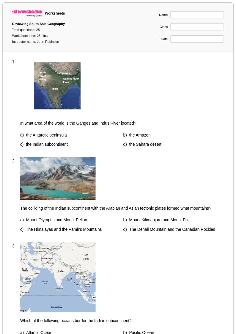
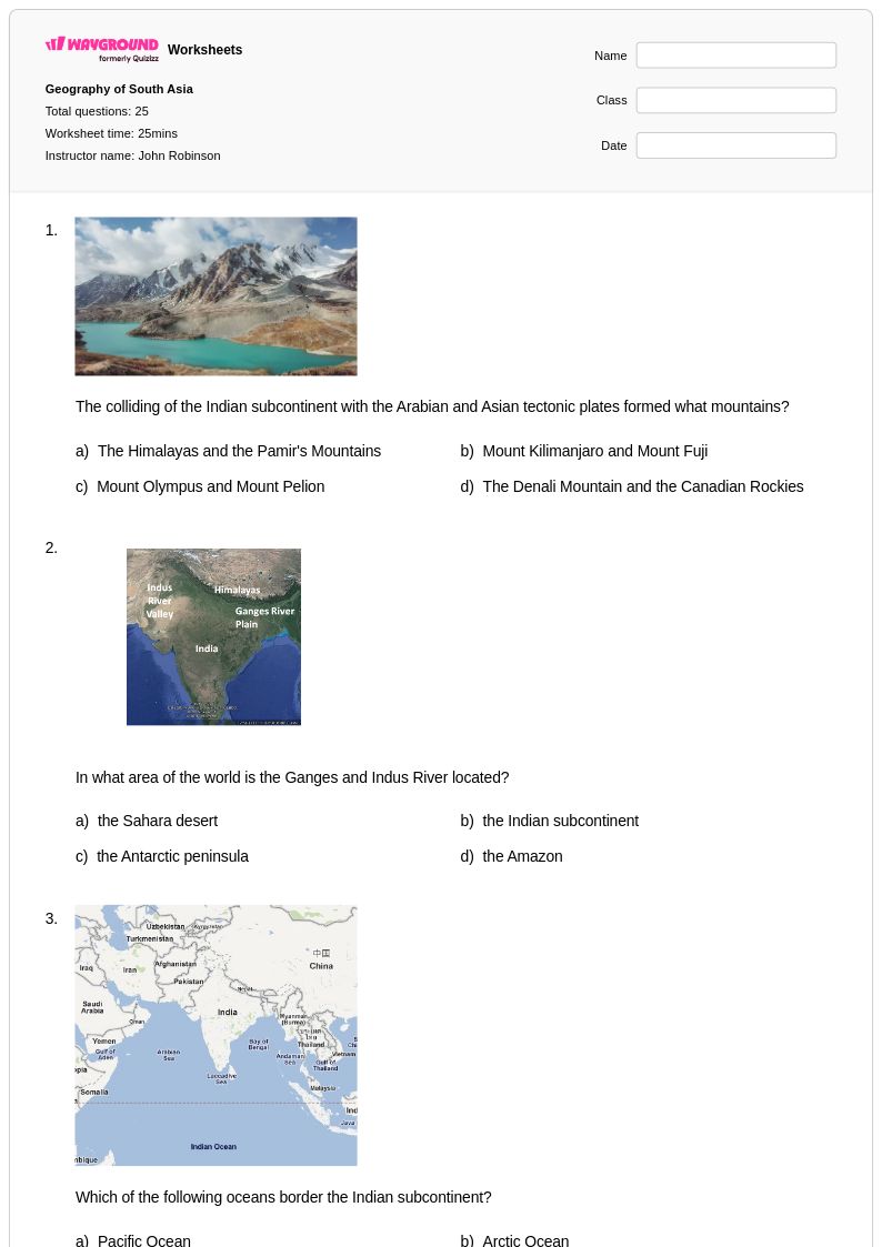
Asia-focused worksheets for Class 8 students available through Wayground (formerly Quizizz) provide comprehensive coverage of the world's largest and most diverse continent, helping students master essential geographic concepts and develop critical spatial thinking skills. These educational resources guide eighth-grade learners through Asia's complex physical geography, including mountain ranges like the Himalayas, major river systems such as the Ganges and Yangtze, monsoon climate patterns, and diverse ecosystems from tropical rainforests to arctic tundra. Students engage with practice problems that explore Asian countries' political boundaries, capital cities, population distributions, and economic activities, while free printable worksheets and accompanying answer keys enable teachers to assess student understanding of topics ranging from cultural geography to natural resources. The pdf format ensures easy distribution and consistent formatting, making these materials ideal for both classroom instruction and independent study.
Wayground's extensive collection draws from millions of teacher-created resources specifically designed to support Class 8 geography instruction focused on Asia, offering educators powerful search and filtering capabilities to locate materials aligned with state and national social studies standards. Teachers can differentiate instruction by selecting worksheets that match varied learning levels within their classrooms, customizing content to emphasize specific Asian regions or geographic themes based on curriculum requirements and student needs. The platform's flexible format options, including both digital and printable versions, accommodate diverse teaching environments and learning preferences while supporting effective lesson planning, targeted skill remediation, and enrichment opportunities. These comprehensive tools enable educators to provide systematic practice with Asian geography concepts, helping students develop the analytical skills necessary to understand complex relationships between physical features, human settlements, and cultural patterns across this vast continent.
FAQs
How do I teach Asian geography to students who struggle with memorizing countries and capitals?
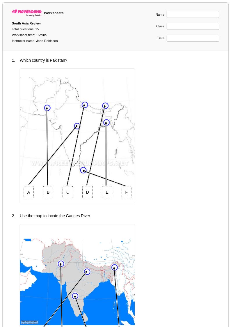
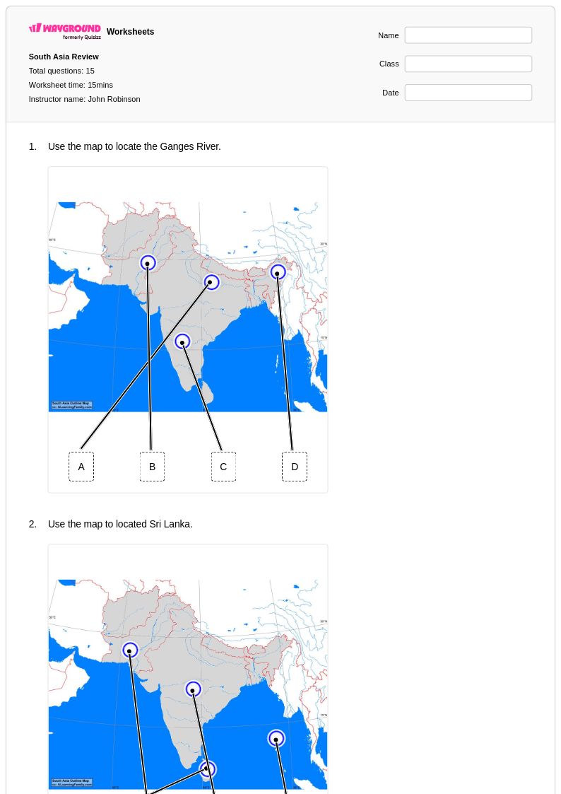
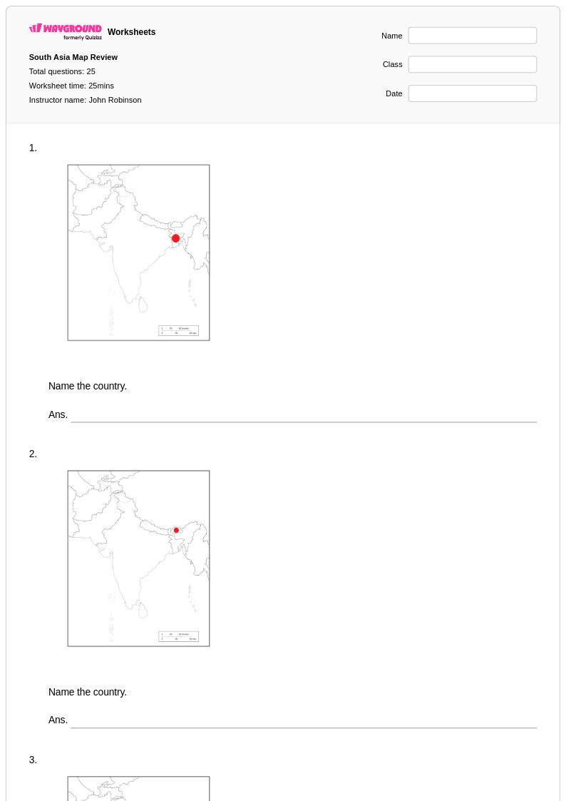
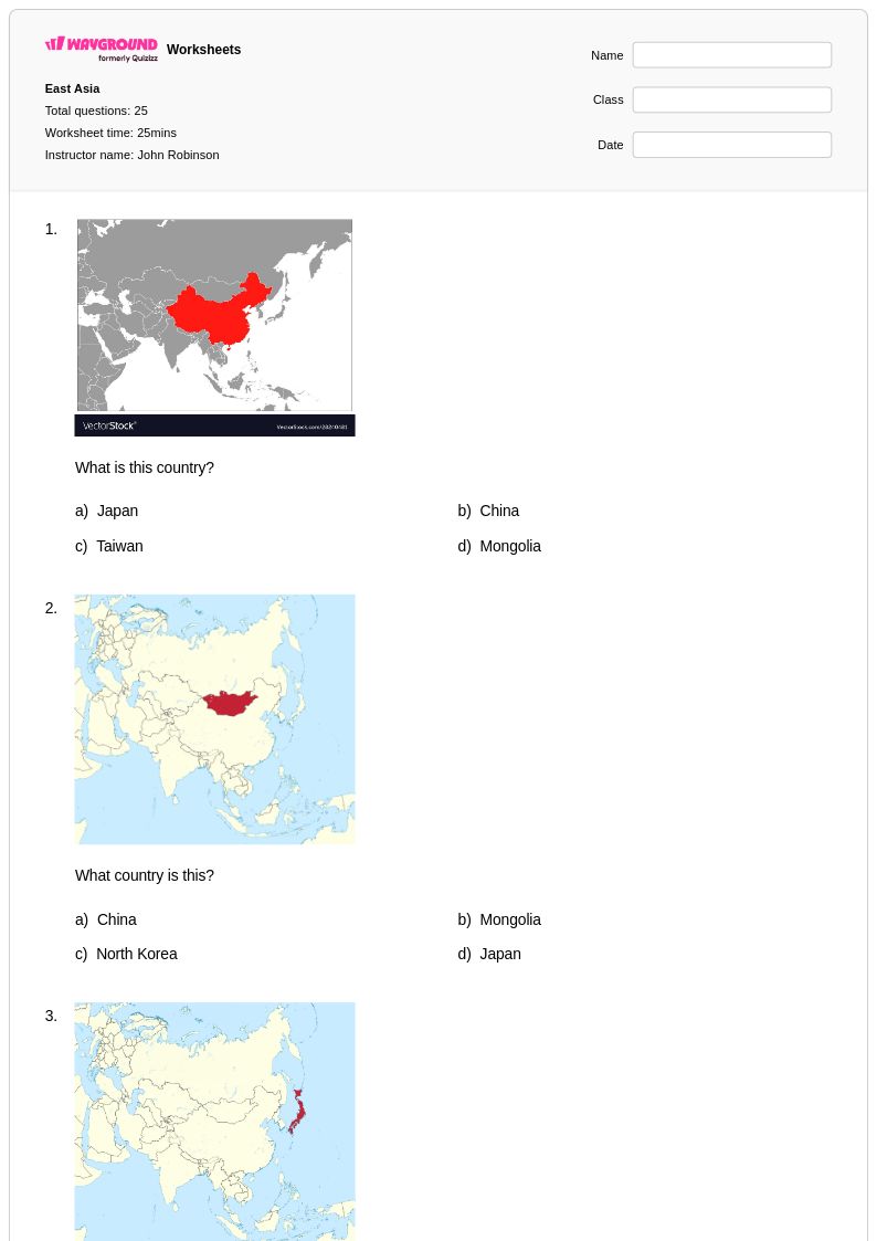
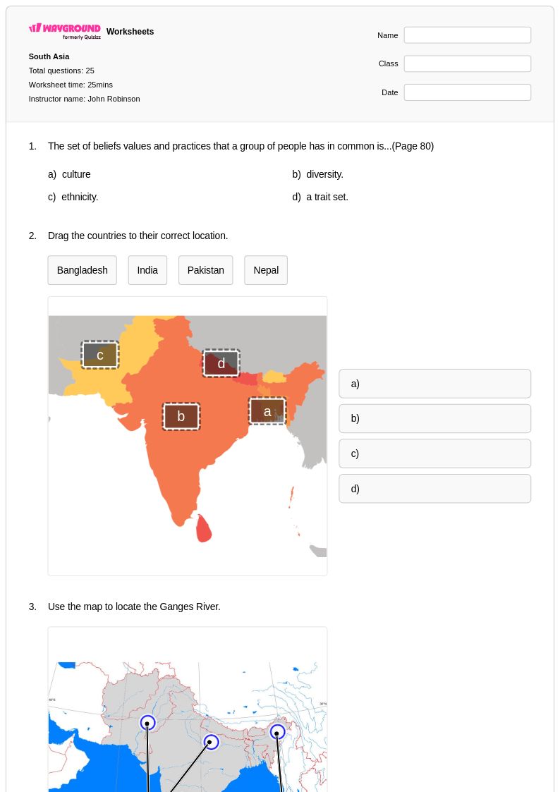
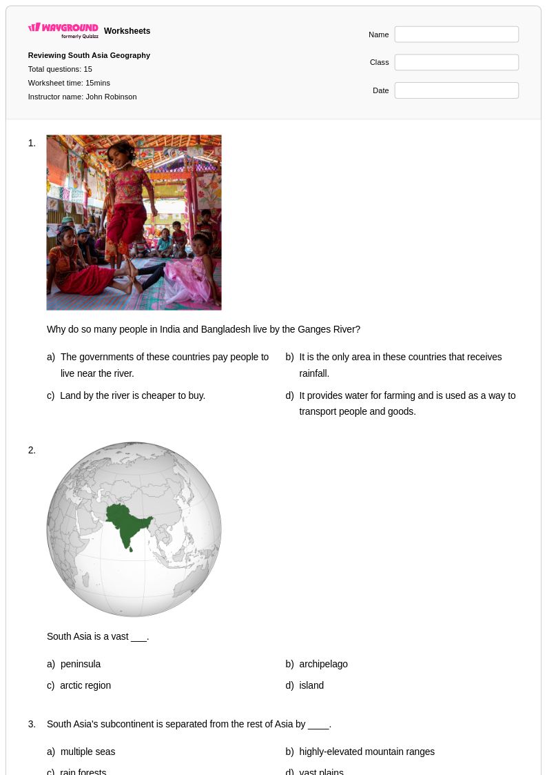
Breaking Asia into subregions, such as East Asia, Southeast Asia, South Asia, and Central Asia, makes the continent more manageable for students. Start with high-profile countries like China, India, and Japan before expanding outward, using labeled and blank maps together so students build recognition before recall. Repeated low-stakes practice with map identification activities reinforces retention far more effectively than one-time memorization drills.
What exercises help students practice identifying Asia's physical features?
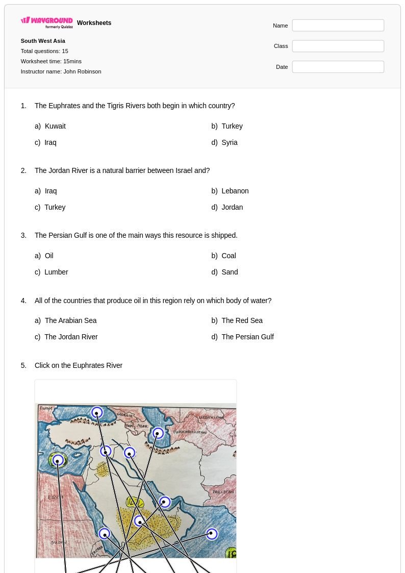
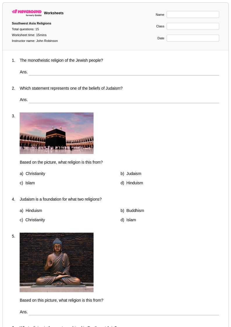
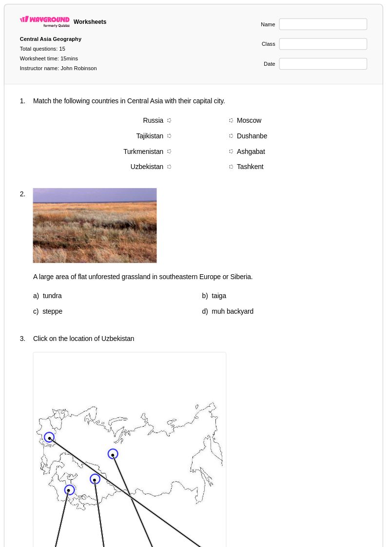
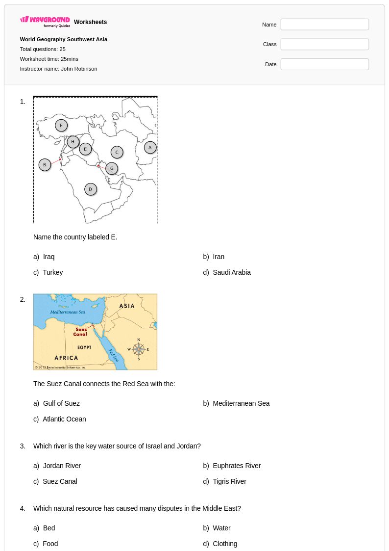
Map labeling exercises that ask students to locate and name major mountain ranges like the Himalayas, rivers like the Yangtze and Ganges, and climate zones give students hands-on engagement with physical geography. Pairing these with questions about how physical features influence population patterns or monsoon systems deepens conceptual understanding beyond simple identification. Asia geography worksheets that combine physical and human geography tasks in a single activity are especially effective for building geographic literacy.
What are the most common mistakes students make when studying Asian geography?
Students frequently confuse the boundaries of Asian subregions, placing countries like Kazakhstan or Afghanistan in the wrong regional category. They also tend to conflate political and physical geography, struggling to connect mountain ranges, river systems, or climate zones to the countries they influence. A third common error is assuming Asia's geography is dominated by a single cultural or economic pattern, when in fact the continent contains enormous diversity across its regions.
How can I differentiate Asia geography worksheets for students at different skill levels?
For students who need additional support, begin with worksheets focused on a single subregion or a limited set of countries before expanding to continent-wide tasks. Advanced students benefit from activities that connect physical geography to economic or demographic analysis, such as examining why major cities cluster near river systems or coastal zones. On Wayground, teachers can apply accommodations such as reduced answer choices or read-aloud support to individual students, allowing the same core worksheet to serve a range of learners without requiring separate materials.
How do I use Wayground's Asia geography worksheets in my classroom?
Wayground's Asia geography worksheets are available as printable PDFs for traditional classroom use and in digital formats for technology-integrated environments, so they work whether students are in seats or working remotely. Teachers can also host worksheets as a quiz directly on Wayground, which is useful for formative assessment or structured independent practice. Answer keys are included with every worksheet, reducing prep time and making it straightforward to review results with the class.
How do I teach students to understand Asia's monsoon system and climate zones?
Introduce the monsoon system by first establishing Asia's physical geography, particularly the role of the Himalayas in blocking and channeling air masses across South and Southeast Asia. Visual mapping activities that ask students to shade or label climate zones alongside physical features help them see the direct relationship between landforms and weather patterns. Following up with questions about how monsoons affect agriculture and population density in countries like India and Bangladesh connects climate geography to human geography in a meaningful way.