Free Printable Geographical Regions Worksheets for Class 6
Explore Class 6 geographical regions with our comprehensive collection of free worksheets and printables that help students master world geography through engaging practice problems and detailed answer keys.
Explore printable Geographical Regions worksheets for Class 6
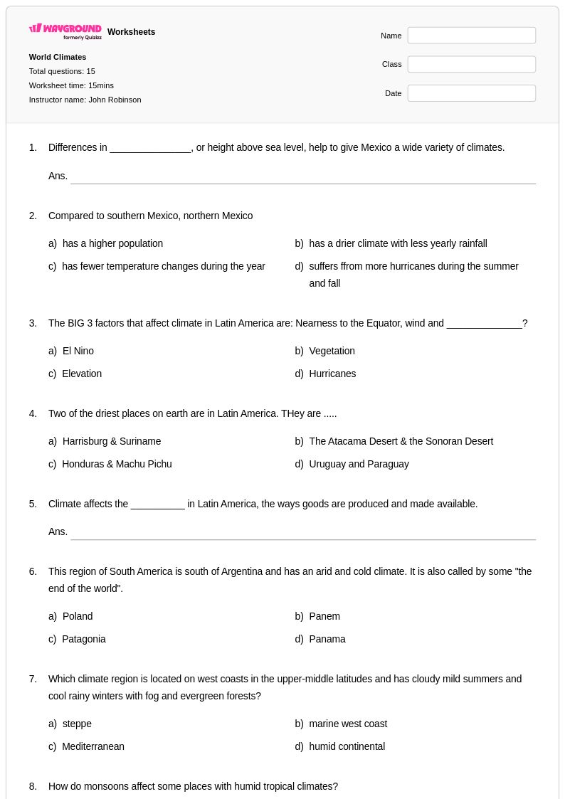
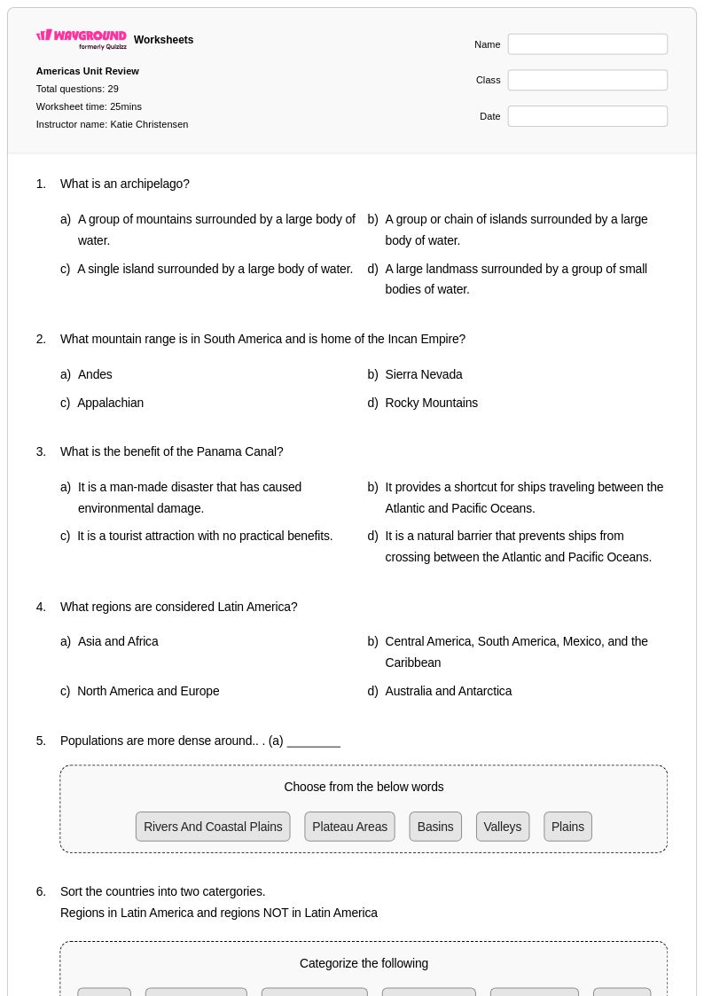
Geographical regions worksheets for Class 6 from Wayground (formerly Quizizz) provide comprehensive coverage of how Earth's surface is organized into distinct physical and human regions. These educational resources strengthen students' spatial thinking skills as they explore concepts including climate zones, landform regions, cultural areas, and economic regions across continents. The worksheet collection features practice problems that challenge sixth graders to identify regional characteristics, compare and contrast different geographical areas, and analyze how physical features influence human settlement patterns. Teachers can access complete answer keys alongside each printable resource, ensuring efficient grading and immediate feedback opportunities. These free materials include map-based activities, data interpretation exercises, and critical thinking questions that help students understand regional interdependence and geographic patterns.
Wayground (formerly Quizizz) supports educators with millions of teacher-created geographical regions resources specifically designed for middle school instruction. The platform's robust search and filtering capabilities allow teachers to quickly locate materials aligned with state geography standards, while differentiation tools enable customization for diverse learning needs within Class 6 classrooms. These worksheet collections are available in both printable pdf format and interactive digital versions, providing flexibility for traditional classroom instruction or remote learning environments. Teachers utilize these comprehensive resources for lesson planning, targeted remediation for struggling learners, enrichment activities for advanced students, and regular skill practice that reinforces geographic literacy. The extensive library ensures educators can find age-appropriate content covering regional geography concepts from local community studies to global regional analysis.
FAQs
How do I teach geographical regions to students?
Teaching geographical regions effectively starts with helping students understand the three core region types: physical regions defined by landforms and natural features, cultural regions shaped by human characteristics like language and religion, and economic regions tied to trade and industry. Use maps as anchor tools throughout instruction, asking students to identify, label, and compare regions before moving into analysis. Building from concrete examples (e.g., the Amazon Basin as a physical region) to abstract comparisons helps students develop genuine spatial thinking rather than simple memorization.
What exercises help students practice identifying geographical regions?
The most effective practice activities for geographical regions require students to read maps, interpret geographic data, and compare regions across multiple criteria simultaneously. Exercises that ask students to classify a region as physical, cultural, or economic, and then justify their reasoning, build stronger geographic literacy than simple labeling tasks. Practice problems that show how regions overlap or change over time are especially valuable because they push students beyond rote identification toward analytical thinking.
What mistakes do students commonly make when learning about geographical regions?
A common misconception is that regions have fixed, universally agreed-upon boundaries, when in reality region boundaries are often defined differently depending on the criteria used. Students also frequently conflate physical and political boundaries, assuming that natural features like mountain ranges always align with country borders. Another frequent error is treating regions as isolated units rather than understanding how physical, cultural, and economic regions are interconnected through trade, migration, and environmental systems.
How can I use geographical regions worksheets to differentiate instruction?
Geographical regions worksheets can be assigned at varying complexity levels, from basic region identification to comparative analysis of how different region types overlap in the same area. On Wayground, teachers can apply student-level accommodations such as read aloud support, reduced answer choices, and extended time to individual students without affecting the rest of the class. These settings are reusable across sessions, making it practical to consistently support students with different learning needs throughout a regional geography unit.
How do I use Wayground's geographical regions worksheets in my classroom?
Wayground's geographical regions worksheets are available as printable PDFs for traditional classroom use and in digital formats for technology-integrated environments, giving teachers flexibility across in-person, hybrid, and remote settings. Teachers can also host worksheets as a live quiz directly on Wayground, turning individual practice into a whole-class activity. Each worksheet includes a complete answer key, reducing prep time and making it straightforward to review student work or assign materials for independent practice and homework.