Explore Class 1 state facts worksheets and free printables that help young students discover interesting information about different U.S. states through engaging practice problems and activities with answer keys.
Explore printable State Facts worksheets for Class 1
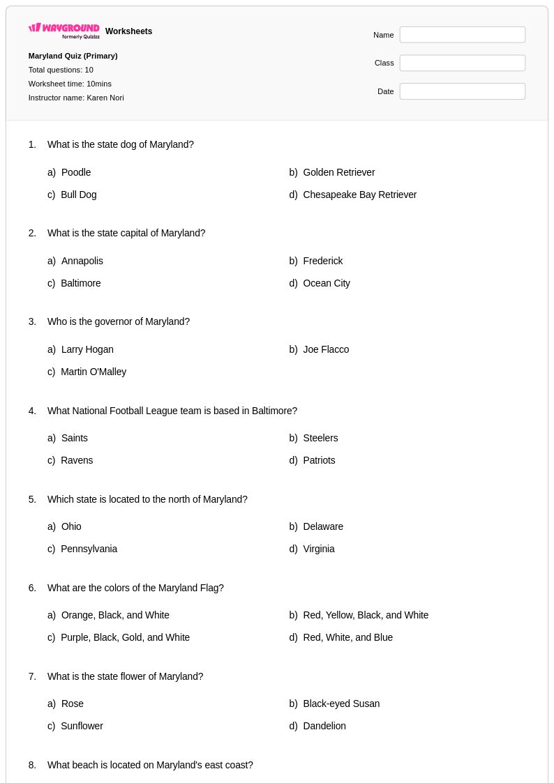
State facts worksheets for Class 1 students available through Wayground (formerly Quizizz) provide young learners with an engaging introduction to understanding the unique characteristics and features of different states across the United States. These carefully designed printables help first-grade students develop foundational geography skills by exploring basic state information such as state names, capitals, symbols, and notable landmarks through age-appropriate activities and practice problems. Each worksheet comes with a comprehensive answer key to support accurate assessment and includes free pdf formats that make classroom implementation seamless. The academic purpose centers on building early social studies literacy, spatial awareness, and civic knowledge while strengthening reading comprehension and basic research skills essential for elementary geography education.
Wayground (formerly Quizizz) empowers teachers with millions of teacher-created state facts resources specifically tailored for Class 1 learners, featuring robust search and filtering capabilities that allow educators to quickly locate materials aligned with state social studies standards and curriculum requirements. The platform's differentiation tools enable teachers to customize worksheets based on individual student needs, offering both digital interactive formats and traditional printable pdf versions that accommodate diverse learning preferences and classroom technology availability. These comprehensive collections support effective lesson planning by providing ready-to-use materials for skill practice, targeted remediation for struggling learners, and enrichment opportunities for advanced students, while the extensive variety ensures teachers can find appropriate state facts content that matches their specific instructional goals and pacing requirements throughout the school year.
FAQs
How do I teach state facts to elementary and middle school students?
Teaching state facts works best when students build knowledge incrementally, starting with state locations and capitals before moving to symbols, physical features, and demographic data. Anchor each lesson in a region rather than trying to cover all fifty states at once, since regional groupings give students a geographic framework that makes individual facts easier to retain. Pairing map activities with factual recall tasks reinforces both spatial and content knowledge simultaneously.
What exercises help students practice identifying state capitals and geographic features?
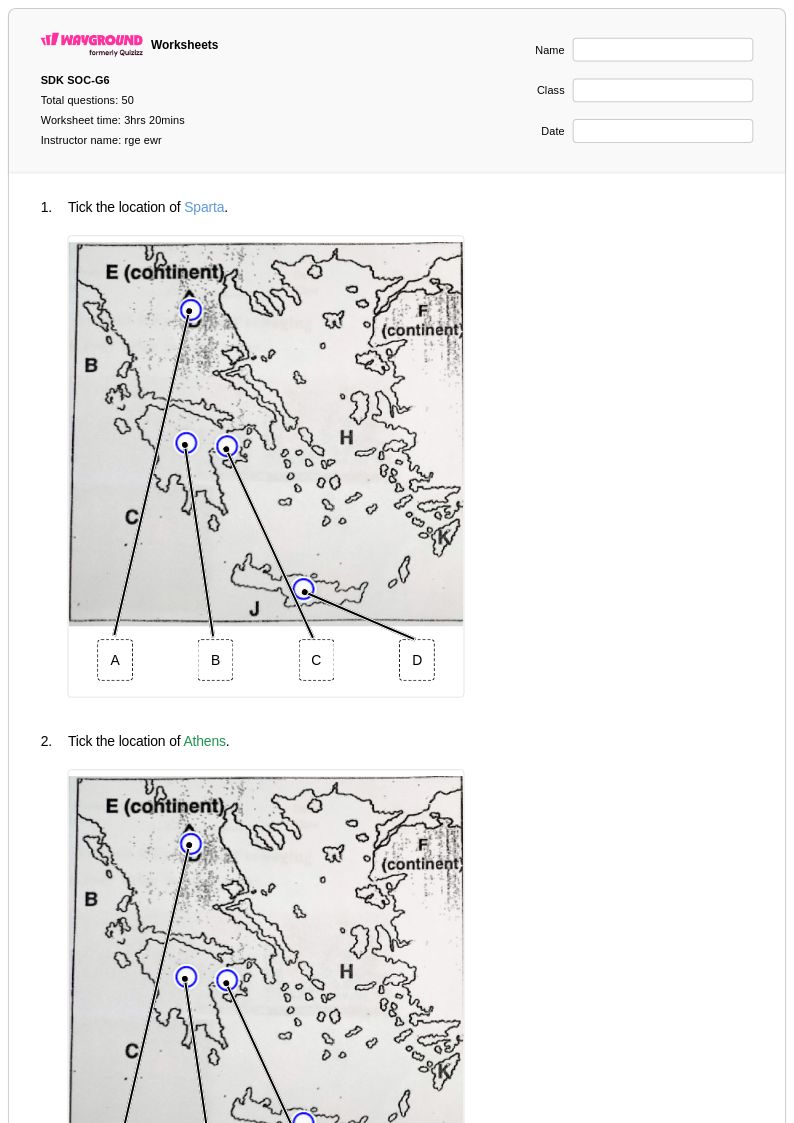
Effective practice exercises include matching capitals to states, labeling blank US maps with state names and major cities, and comparing physical features across regions. Tasks that require students to analyze population trends or identify bordering states build geographic literacy beyond simple memorization. Rotating between identification, matching, and short-answer formats prevents rote learning and keeps practice purposeful.
What mistakes do students commonly make when learning state facts?
Students frequently confuse states that share similar names, borders, or geographic characteristics, such as mixing up Vermont and New Hampshire or misplacing Midwestern states on a map. Another common error is conflating a state's largest city with its capital, since many state capitals are not the most populous city in the state. Regular low-stakes practice with blank maps and capital-matching tasks helps correct these patterns before they become entrenched.
How can I differentiate state facts instruction for students with different ability levels?
For students who need additional support, reduce the number of states covered at one time and focus on high-frequency facts such as capitals and regions before introducing symbols or demographic data. Wayground allows teachers to assign individual accommodations including read-aloud support for students who struggle with text-heavy content, reduced answer choices to lower cognitive load, and extended time for students who need it. These settings apply per student without notifying the rest of the class, so differentiation happens seamlessly within a shared assignment.
How do I use Wayground's state facts worksheets in my classroom?
Wayground's state facts worksheets are available as printable PDFs for traditional classroom use and in digital formats for technology-integrated instruction, giving teachers flexibility depending on their setup. Teachers can assign worksheets digitally as a quiz hosted on Wayground, use printed versions for independent practice or homework, or incorporate them into lesson reviews and remediation sessions. Each worksheet includes a detailed answer key, so students can self-check during independent work or teachers can use them for fast formative assessment.
How do I assess whether students have mastered state facts?
Assessment should go beyond recall and ask students to apply their knowledge, for example by analyzing why certain states have particular geographic or demographic characteristics or comparing two states across multiple categories. Common indicators of mastery include accurately locating states on a blank map, correctly matching capitals without prompting, and explaining the significance of physical features or state symbols in context. Short written responses asking students to describe a state using three or more fact categories reveal whether knowledge is connected or isolated.