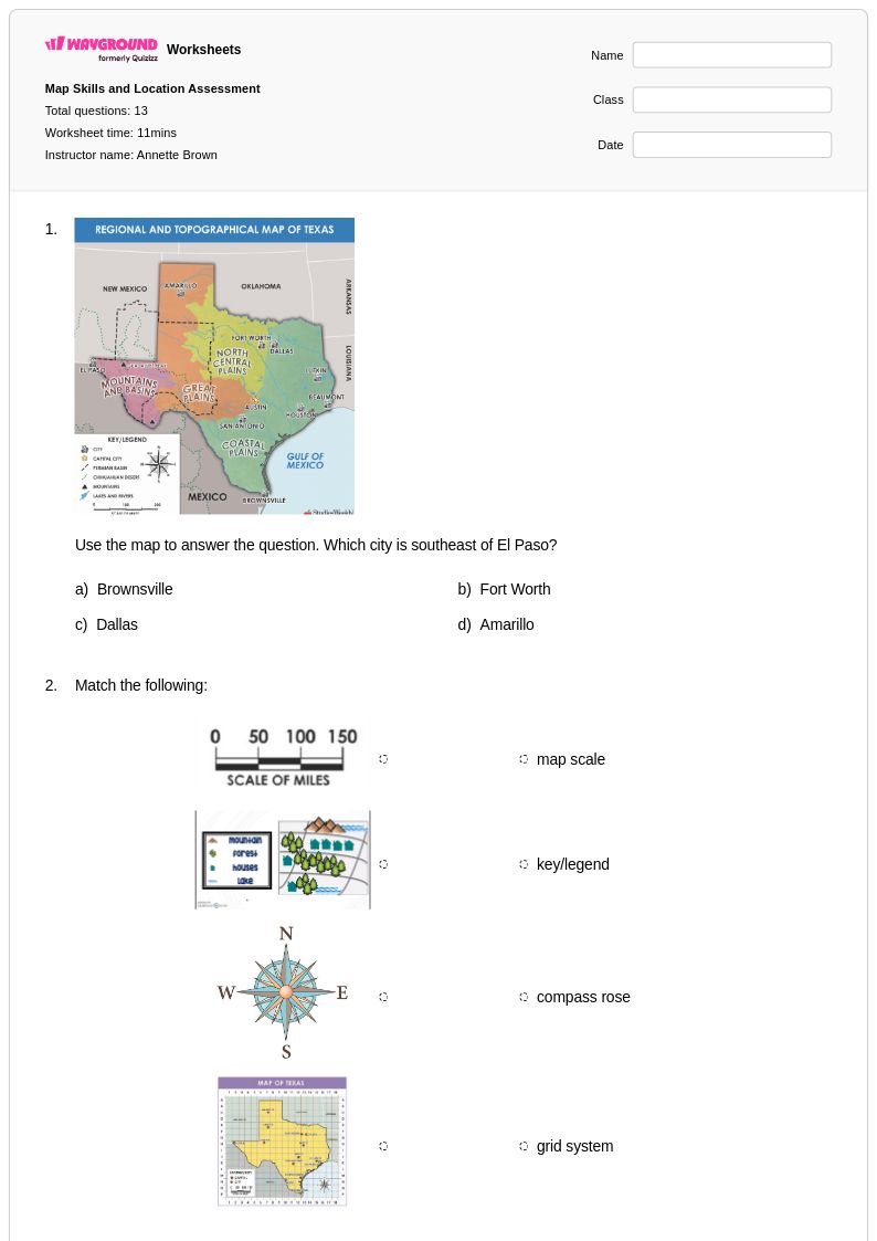
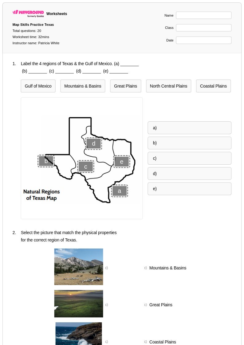
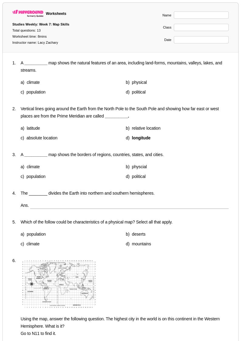
Free Printable Topographic Maps Worksheets for Class 4
Class 4 topographic maps worksheets and printables help students learn to read elevation lines, identify landforms, and interpret map symbols through engaging practice problems with complete answer keys available as free PDF downloads.
Explore printable Topographic Maps worksheets for Class 4
Topographic maps serve as essential learning tools for Class 4 students developing fundamental geographic literacy and spatial reasoning skills. Wayground's comprehensive collection of topographic map worksheets provides young learners with structured practice in reading elevation lines, interpreting contour intervals, and understanding how three-dimensional landforms are represented on two-dimensional surfaces. These carefully designed printables strengthen critical thinking abilities as students analyze terrain features, identify ridges and valleys, and make connections between map symbols and real-world landscapes. Each worksheet includes detailed answer keys that support both independent practice and guided instruction, while the free pdf format ensures accessibility for diverse classroom environments and home learning situations.
Wayground's platform, formerly Quizizz, empowers educators with millions of teacher-created resources specifically designed to support topographic map instruction and geographic skill development. The robust search and filtering system enables teachers to quickly locate worksheets aligned with state standards and curriculum requirements, while differentiation tools allow for seamless customization based on individual student needs and learning objectives. These topographic map resources are available in both printable and digital formats, providing flexible options for traditional classroom settings, remote learning environments, and hybrid instruction models. Teachers can efficiently plan comprehensive geography units, target specific skill gaps through remediation activities, challenge advanced learners with enrichment materials, and provide consistent practice opportunities that build student confidence in map interpretation and spatial analysis.
FAQs
How do I teach students to read topographic maps for the first time?
Start by grounding students in the core rule: contour lines connect points of equal elevation, and lines that are closer together indicate steeper terrain. Use a physical model, such as a layered landform built from cardboard or clay, so students can see the connection between a 3D surface and its 2D map representation before they ever read a contour line on paper. From there, introduce key vocabulary — contour interval, index contour, relief, and gradient — with visual examples. Structured practice problems that ask students to trace specific elevations and identify landform types (ridge, valley, depression) build the spatial reasoning needed to read topographic maps with confidence.
What exercises help students practice interpreting contour lines and elevation patterns?
Effective practice moves students from recognition to interpretation: begin with exercises that ask them to label elevations on a pre-drawn map, then progress to calculating gradient between two points, identifying watershed boundaries, and sketching a cross-sectional profile from a contour map. Exercises that pair a topographic map with a photograph of the same terrain are especially useful for building the spatial connection between contour patterns and real landforms. Topographic map worksheets that include a mix of question types — multiple choice for vocabulary, short answer for gradient calculations, and diagram labeling for landform identification — reinforce skills across different levels of complexity.
What mistakes do students commonly make when reading topographic maps?
The most common error is misreading the contour interval: students frequently confuse the interval value with individual elevation readings, which cascades into incorrect gradient and relief calculations. Many students also struggle to distinguish between a hill and a depression on a map, since both appear as closed concentric loops — depressions are marked with hatchure lines, a detail students often overlook. A third frequent misconception is assuming that widely spaced contour lines mean flat terrain rather than a gentle slope. Targeted practice that isolates these specific error patterns, with immediate feedback through answer keys, helps students correct misconceptions before they become entrenched.
How can I differentiate topographic map instruction for students at different skill levels?
For students who are still developing spatial reasoning, simplify the map by reducing the number of contour lines shown and providing a word bank of landform types to reduce cognitive load. For students who have mastered basic contour reading, increase complexity by introducing gradient calculations, scale applications, and watershed analysis. On Wayground, teachers can apply accommodations such as Read Aloud for students who benefit from audio support, reduced answer choices for those who need scaffolding, and adjustable font sizes through reading mode — all configurable per student without flagging those settings to the rest of the class.
How do I use Wayground's topographic maps worksheets in my classroom?
Wayground's topographic map worksheets are available as printable PDFs for traditional classroom use and in digital formats for technology-integrated environments, including the option to host them as a quiz directly on Wayground. Printable versions work well for independent seat work, small group activities, or take-home practice, while digital formats allow for self-paced completion with built-in answer key access. Each worksheet includes a complete answer key, making it straightforward to use for guided instruction, station rotations, or self-checking independent practice without additional teacher preparation.
How do I help students understand the relationship between contour lines and real-world terrain features?
Connecting the abstract visual language of contour lines to physical landscapes is the central challenge of topographic map instruction. Have students analyze contour patterns for familiar landform types — V-shapes pointing uphill indicate valleys, rounded closed loops indicate hills — and then verify their interpretations using satellite imagery of the same area. Asking students to draw a topographic profile, or cross-section, along a given line on a map is one of the highest-yield exercises for cementing this relationship, as it forces them to translate the 2D contour pattern into an explicit elevation graph.