Free Class 1 printable worksheets help young learners explore and identify all 50 States through engaging geography activities, practice problems, and comprehensive answer keys available as downloadable PDFs.
Explore printable 50 States worksheets for Class 1
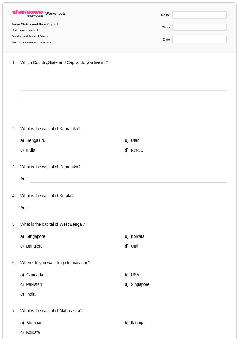
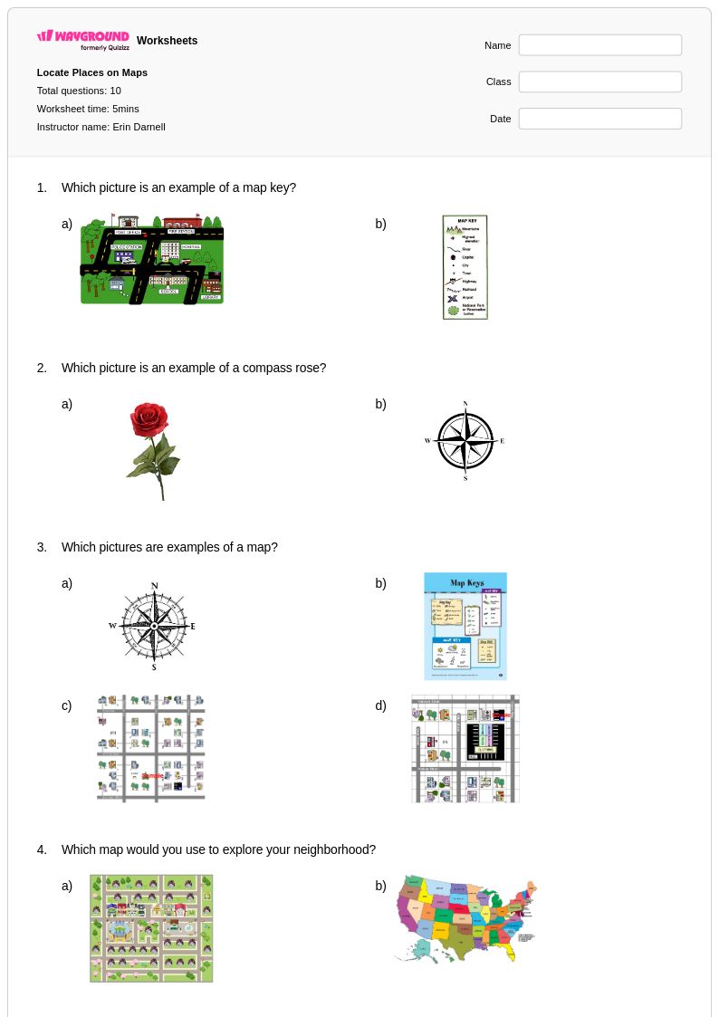
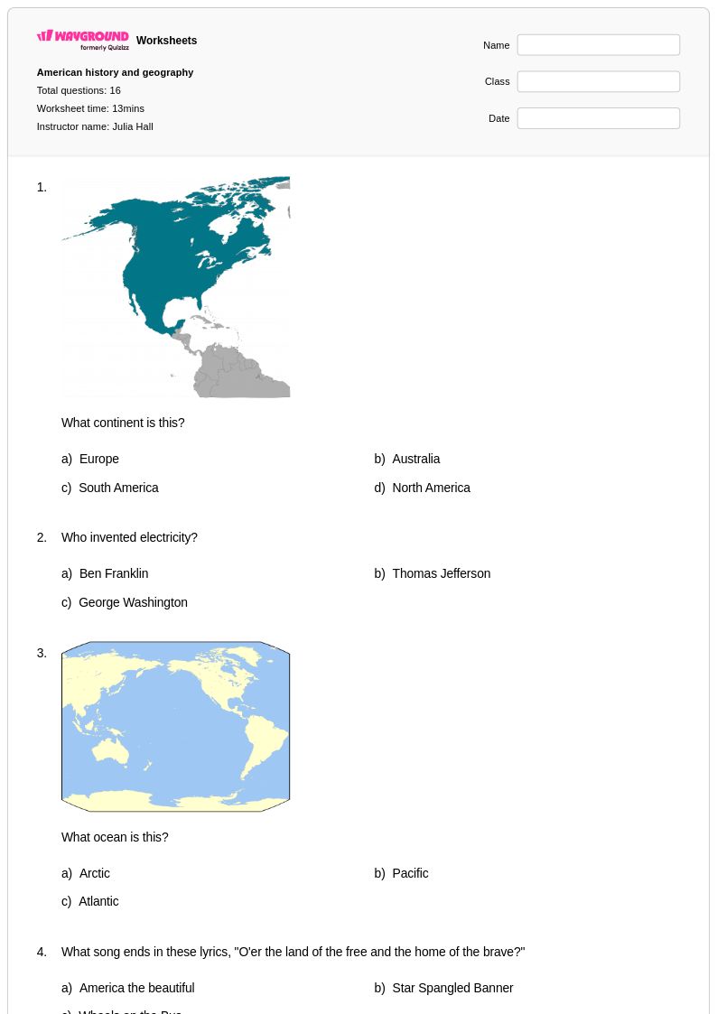
50 States worksheets for Class 1 students available through Wayground (formerly Quizizz) provide young learners with age-appropriate introductions to American geography and basic map skills. These educational resources focus on helping first-grade students recognize state shapes, identify major geographical features, and begin understanding the concept of states as distinct regions within the United States. The worksheets strengthen foundational geography skills through engaging activities such as coloring exercises, simple matching games, and basic state identification tasks. Teachers can access comprehensive practice problems that include visual learning components, and many resources come with detailed answer keys to support effective instruction. These free printables are designed specifically for early elementary learners, incorporating large fonts, clear illustrations, and scaffolded activities that build confidence in geography concepts while maintaining developmentally appropriate expectations.
Wayground (formerly Quizizz) supports educators with an extensive collection of teacher-created 50 States resources, drawing from millions of high-quality materials specifically designed for Class 1 geography instruction. The platform's robust search and filtering capabilities allow teachers to quickly locate worksheets that align with state and national social studies standards, ensuring that classroom activities support required learning objectives. Differentiation tools enable educators to customize materials for diverse learning needs, while the availability of both printable pdf formats and digital versions provides flexible implementation options for various classroom environments. These comprehensive resources facilitate effective lesson planning by offering ready-to-use materials for skill practice, targeted remediation for students who need additional support, and enrichment opportunities for advanced learners, ultimately streamlining the process of teaching fundamental American geography concepts to first-grade students.
FAQs
How do I teach students all 50 states and capitals?
Teaching the 50 states and capitals is most effective when broken into regional chunks rather than attempting all 50 at once. Start with a region students are familiar with, then layer in map-based activities that connect state location to capital name. Repetition through varied formats, such as fill-in-the-blank, matching, and blank map labeling, builds retention more reliably than rote memorization alone.
What worksheets help students practice identifying states on a map?
Blank U.S. map worksheets are the most direct tool for practicing state identification, requiring students to label states by location rather than simply recognizing a name. Pairing these with region-specific activities helps students build spatial reasoning incrementally. Repeated low-stakes practice using printable map worksheets is especially effective before formal assessments.
What are common mistakes students make when learning the 50 states?
Students most commonly confuse states that share borders or have similar shapes, particularly in the Midwest and mid-Atlantic regions, such as mixing up Indiana and Illinois or Maryland and Delaware. Another frequent error is mismatching state capitals, especially for states where the capital is not the largest or most recognizable city, like Sacramento for California or Juneau for Alaska. Targeted practice on these high-confusion pairs helps correct these patterns before they become ingrained.
How can I differentiate 50 states instruction for students at different levels?
For students still mastering basic identification, focus on high-frequency states and the most commonly tested capitals before expanding to all 50. For students ready for enrichment, extend learning to regional geography, state nicknames, or economic characteristics. On Wayground, teachers can apply accommodations such as reduced answer choices for students who need additional support, and these settings are saved and reusable across future sessions without disrupting the experience for other students.
How do I use 50 States worksheets from Wayground in my classroom?
Wayground's 50 States worksheets are available as printable PDFs for traditional classroom use and in digital formats for technology-integrated environments, and teachers can also host them as a quiz directly on Wayground. All worksheets include answer keys, making it straightforward to provide immediate feedback or use them for self-paced review. The flexibility between print and digital makes these resources practical for homework, centers, or whole-class instruction.
How do I help students who keep mixing up state capitals?
Capital city confusion is usually tied to the assumption that the largest city is always the capital, which is often incorrect. Direct instruction should explicitly address high-profile mismatches, such as New York City versus Albany or Chicago versus Springfield. Focused matching and short-answer practice that isolates state-capital pairs, rather than full 50-state assessments, helps students correct specific gaps more efficiently.

![Wonders the World [Japan, Egypt, America, Australia] - Printable 50-states Worksheets Class 1 - Quizizz](https://quizizz-static.s3.amazonaws.com/_media/worksheets-new/631a62cb70efd5001eb55e75-wonders-the-world-japan-egypt-america-australia)