Free Printable Bodies of Water Worksheets for Class 4
Explore Class 4 bodies of water worksheets and printables that help students identify oceans, rivers, lakes, and seas through engaging practice problems, free PDF downloads, and comprehensive answer keys.
Explore printable Bodies of Water worksheets for Class 4
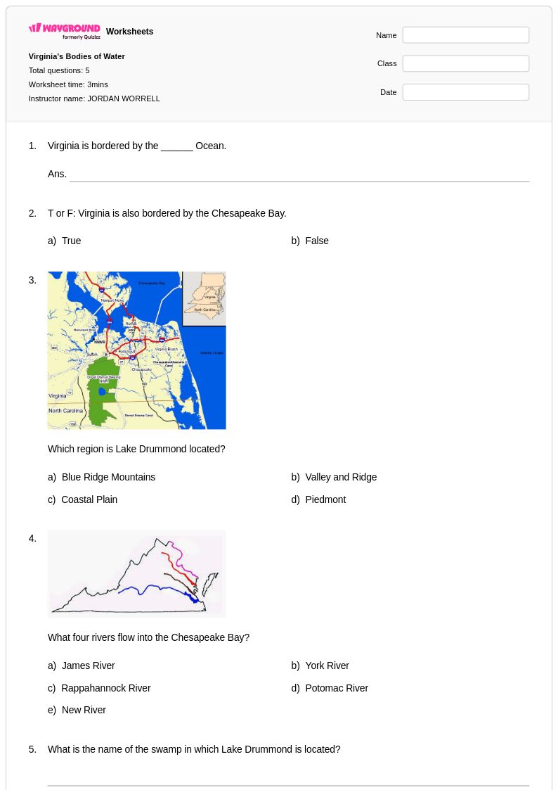
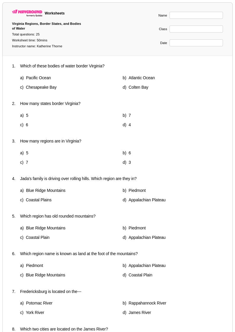
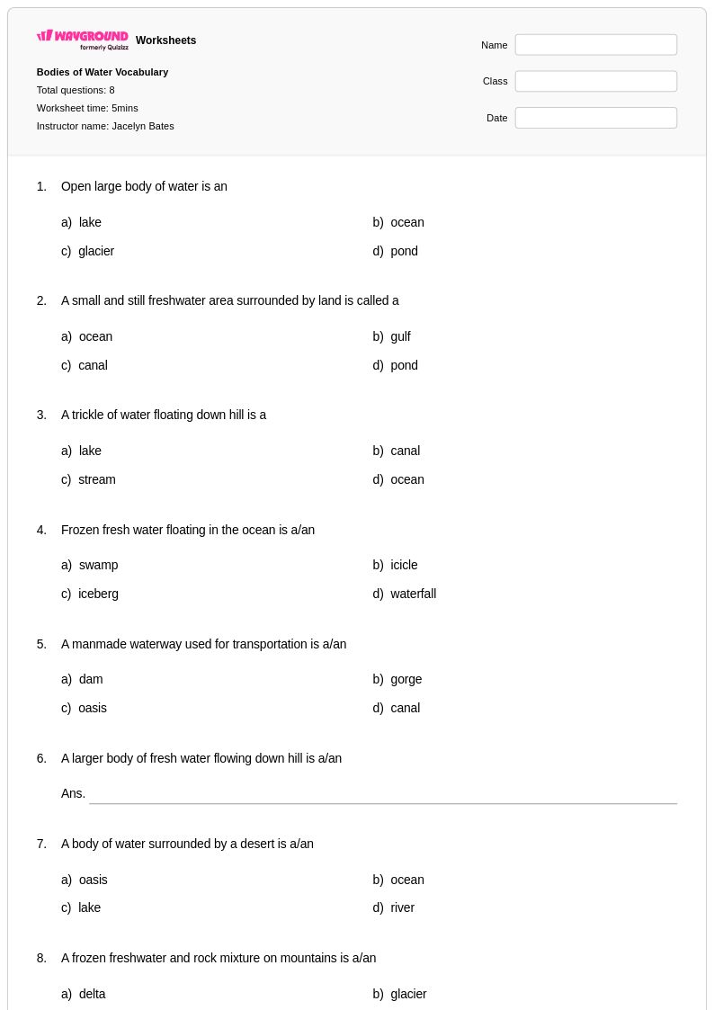
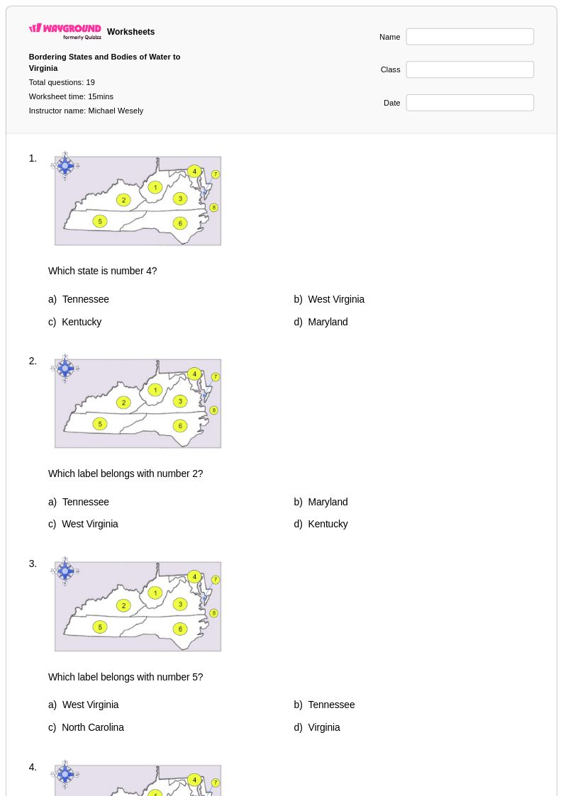
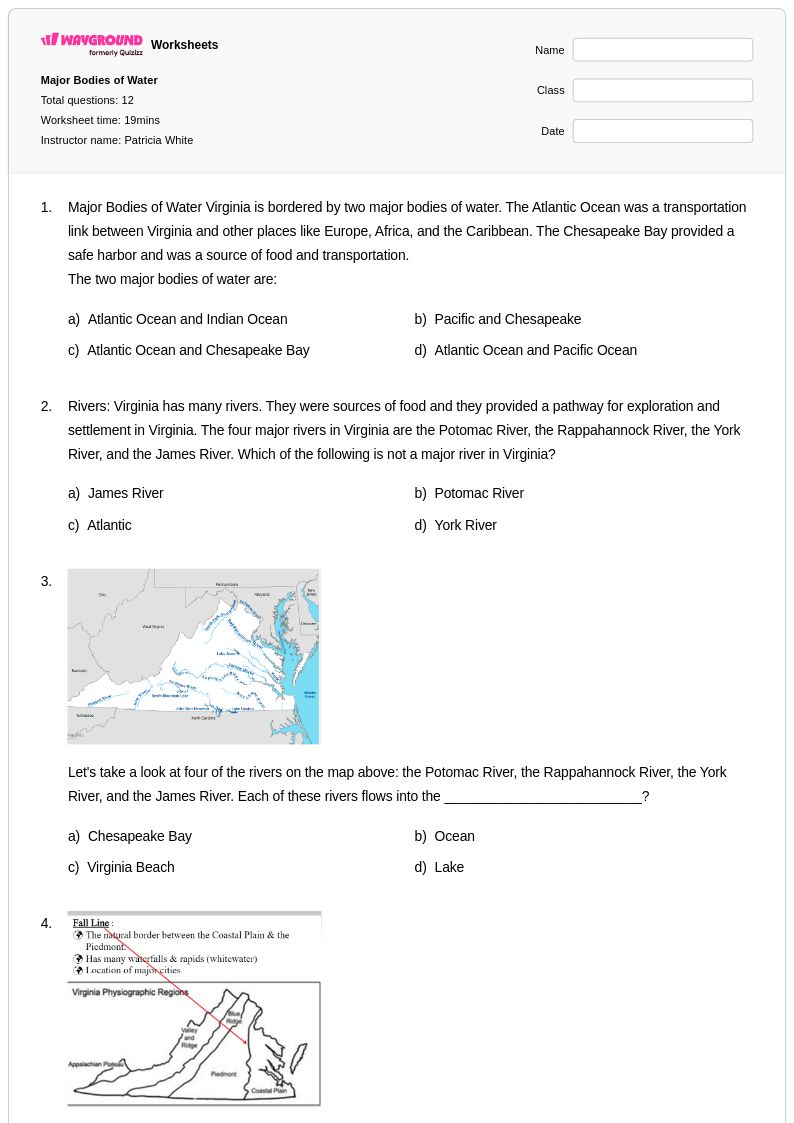
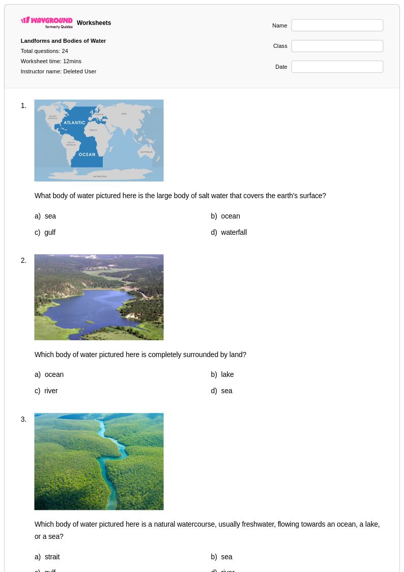
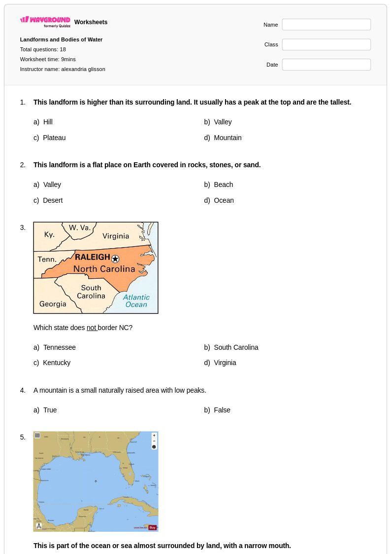
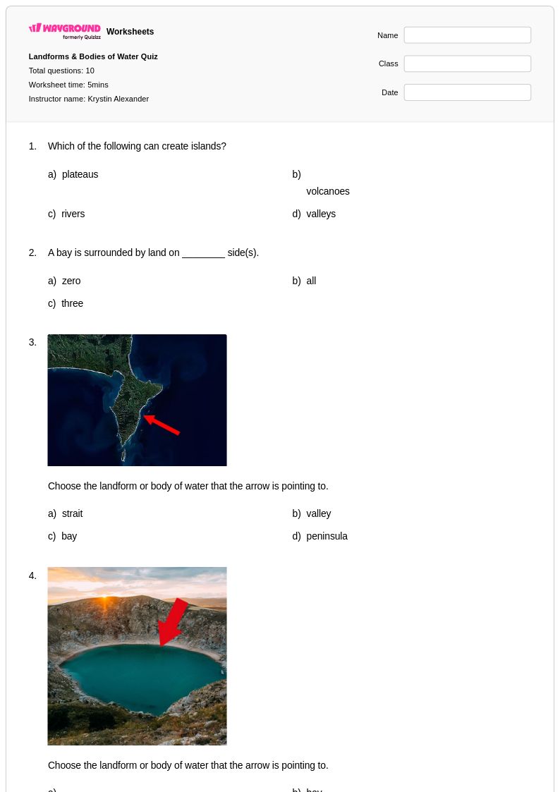
Bodies of water worksheets for Class 4 students available through Wayground provide comprehensive exploration of Earth's diverse aquatic features, from vast oceans and sprawling seas to winding rivers, pristine lakes, and flowing streams. These carefully crafted educational resources strengthen students' geographic literacy by developing essential skills in map reading, landform identification, and spatial reasoning while building foundational knowledge about how water bodies shape our planet's surface and influence human settlements. Each worksheet collection includes detailed answer keys and is available as free printables in convenient PDF format, offering structured practice problems that guide fourth graders through systematic study of major water bodies, their characteristics, and their geographic relationships to continents and countries.
Wayground's extensive library of teacher-created resources empowers educators with millions of high-quality materials specifically designed to support bodies of water instruction at the Class 4 level. The platform's robust search and filtering capabilities allow teachers to quickly locate worksheets that align with specific learning standards while accessing powerful differentiation tools that accommodate diverse student needs and learning styles. These flexible resources are available in both printable PDF and interactive digital formats, enabling seamless customization for various classroom environments and teaching approaches. Whether used for initial skill-building, targeted remediation, or enrichment activities, these comprehensive worksheet collections streamline lesson planning while providing teachers with reliable tools to assess student understanding of fundamental geographic concepts related to Earth's water systems.
FAQs
How do I teach bodies of water to elementary students?
Start by anchoring instruction in familiar examples — ask students whether they live near a river, lake, or ocean before introducing formal vocabulary. From there, use labeled maps and visual sorting activities to help students distinguish between oceans, seas, lakes, rivers, and streams based on size, location, and whether the water is moving or still. Connecting water bodies to human settlements (why cities are built near rivers, why ports exist on coastlines) builds geographic reasoning alongside vocabulary.
What exercises help students practice identifying bodies of water?
Map-labeling activities are among the most effective practice formats because they require students to apply vocabulary spatially rather than just memorize definitions. Classification tasks — where students sort water formations by type or characteristic — build analytical skills alongside content knowledge. Practice problems that ask students to interpret geographic data and explain relationships between water bodies and nearby human activity deepen comprehension beyond surface-level identification.
What mistakes do students commonly make when learning about bodies of water?
A frequent misconception is conflating seas and oceans, since both are large saltwater bodies — students need explicit instruction on how seas are partially enclosed by land and are smaller than oceans. Students also commonly confuse rivers and streams based solely on size, when the distinction is better understood through flow patterns and drainage systems. Another common error is assuming all lakes contain freshwater; reminding students of saltwater lakes like the Great Salt Lake helps correct this assumption early.
How do I use bodies of water worksheets in my classroom?
Bodies of water worksheets on Wayground are available as printable PDFs for traditional classroom use and in digital formats for technology-integrated or remote learning environments, giving teachers flexibility in how they assign and deliver practice. Digital versions can also be hosted as a quiz directly on Wayground, making it easy to collect student responses and review results in one place. Complete answer keys are included with every worksheet, so teachers can assess student work efficiently and students can receive timely feedback on their geographic reasoning.
How can I differentiate bodies of water instruction for students at different skill levels?
For students who need additional support, reduce the complexity of map tasks by pre-labeling some features and asking students to complete partial diagrams rather than label from scratch. Advanced students benefit from extension tasks that require them to research how specific bodies of water influence climate, trade routes, or regional ecosystems. On Wayground, teachers can apply accommodations such as reduced answer choices or read-aloud settings to individual students, ensuring each learner engages with the material at an appropriate level.
How do bodies of water connect to broader geography standards?
Understanding bodies of water is foundational to geographic literacy because water systems shape landforms, climate zones, and patterns of human settlement. Most K-8 geography standards require students to identify major oceans, rivers, and lakes on physical maps, and to explain how water access has influenced where civilizations developed. Worksheets that integrate map analysis with content questions help students make these cross-disciplinary connections while meeting standards for both geographic knowledge and spatial reasoning.