Free Printable Elevation Maps Worksheets for Class 6
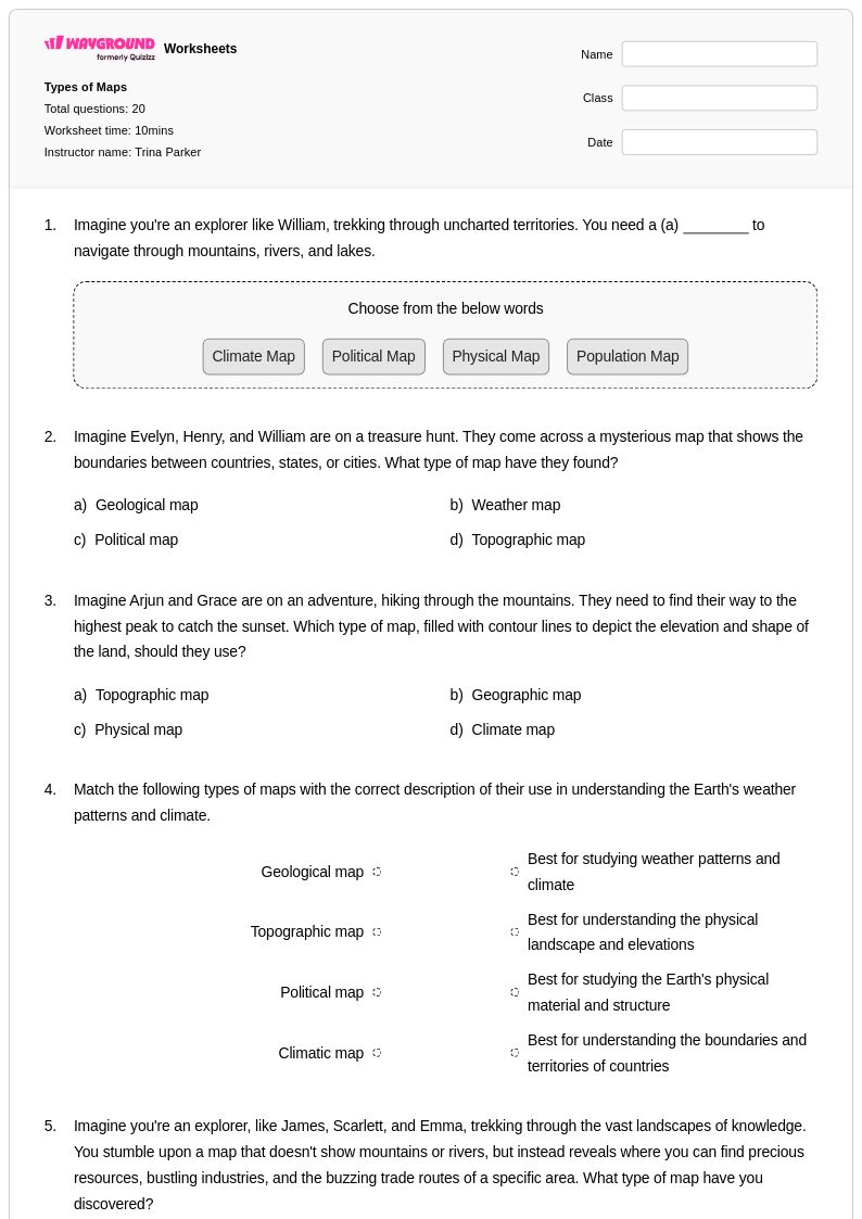
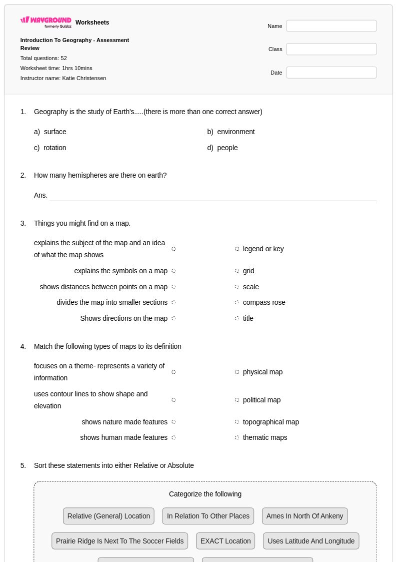
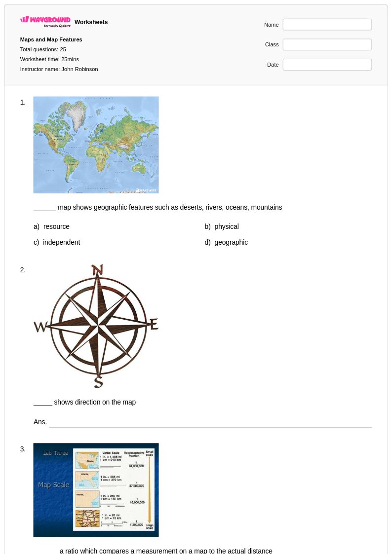
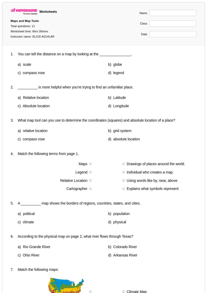
Class 6 elevation maps worksheets from Wayground help students master topographical reading skills through engaging printables, practice problems, and comprehensive answer keys available as free PDF downloads.
Explore printable Elevation Maps worksheets for Class 6
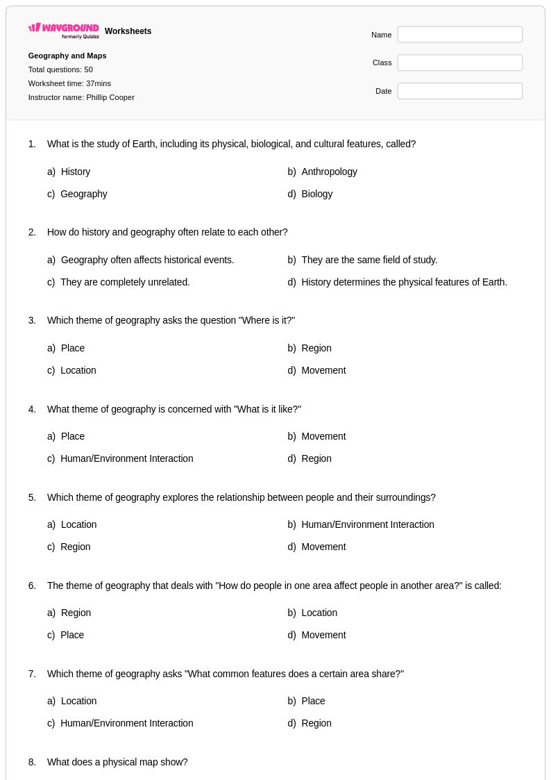
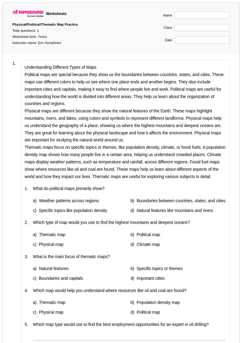
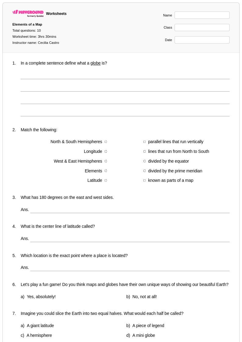
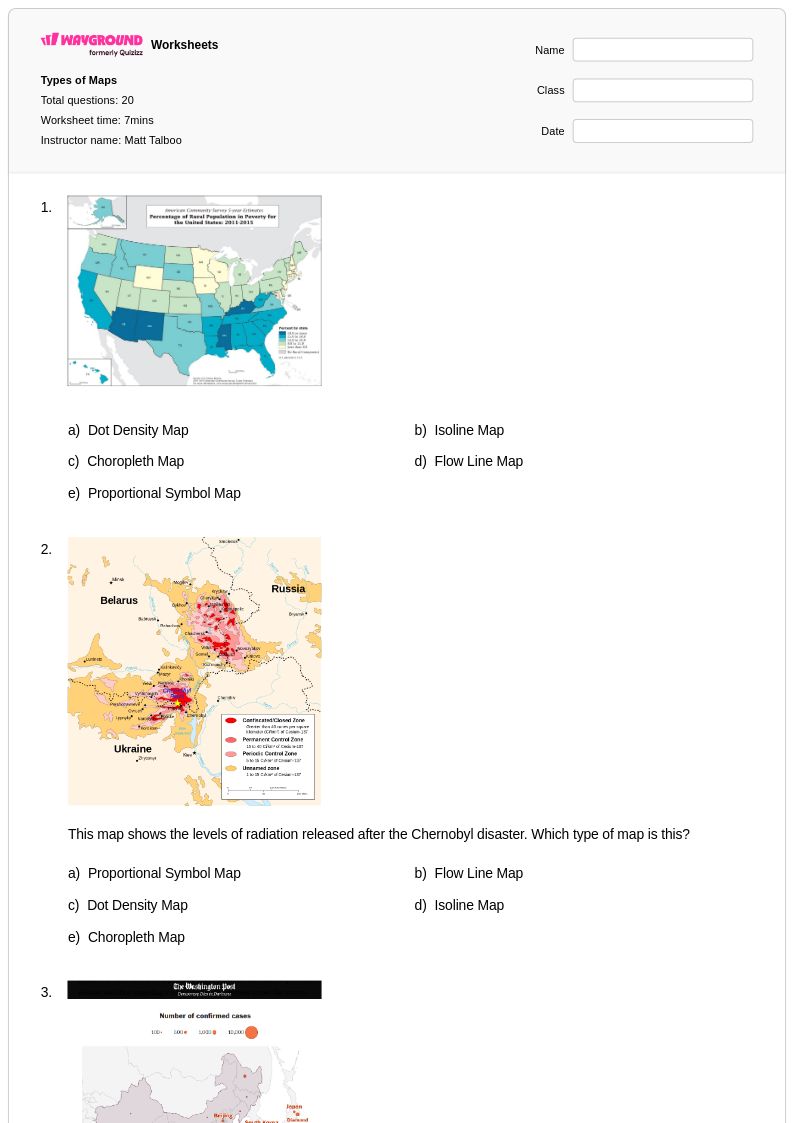
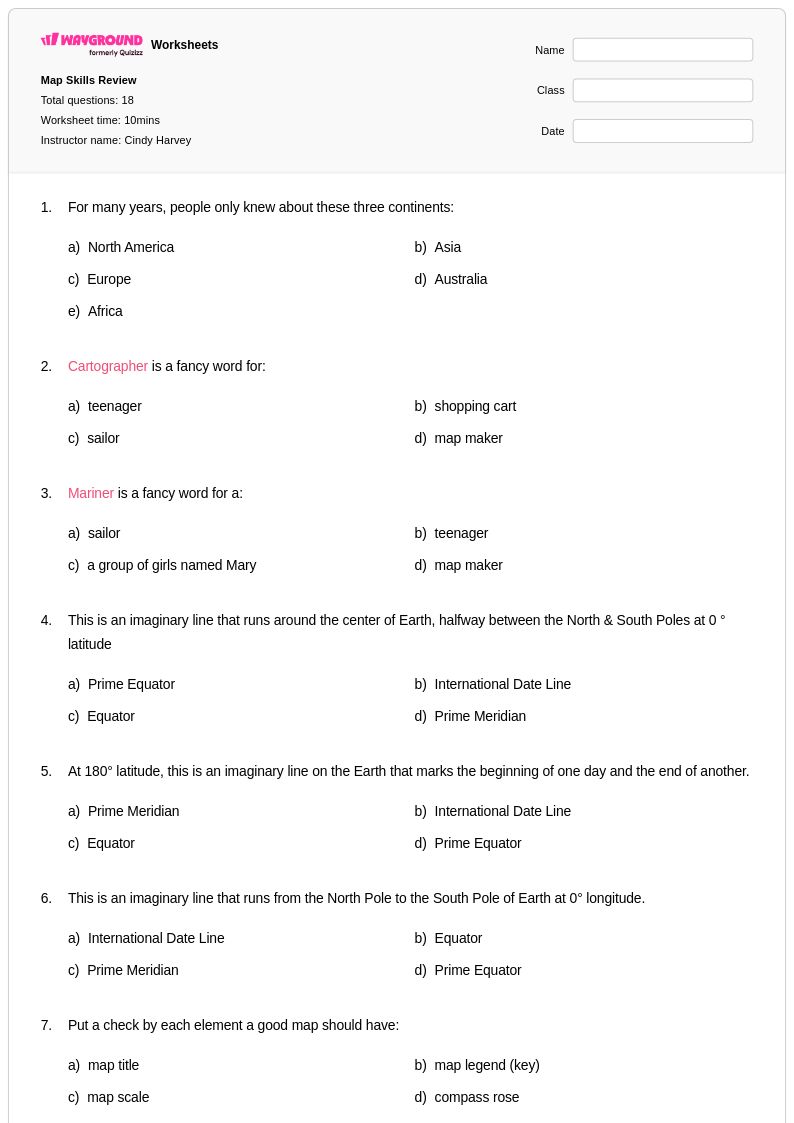
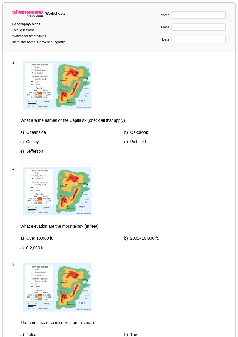
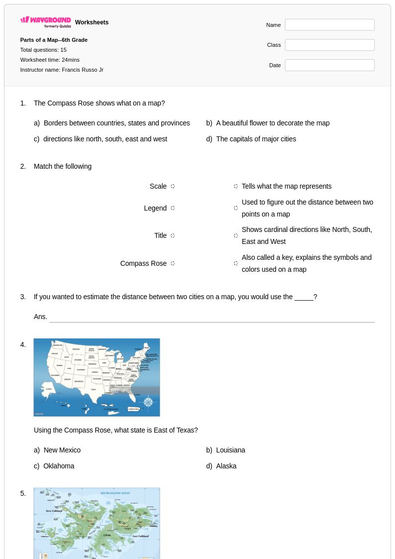
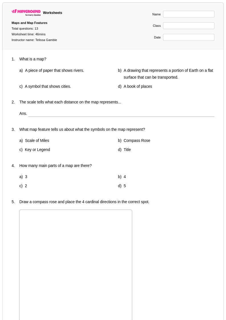
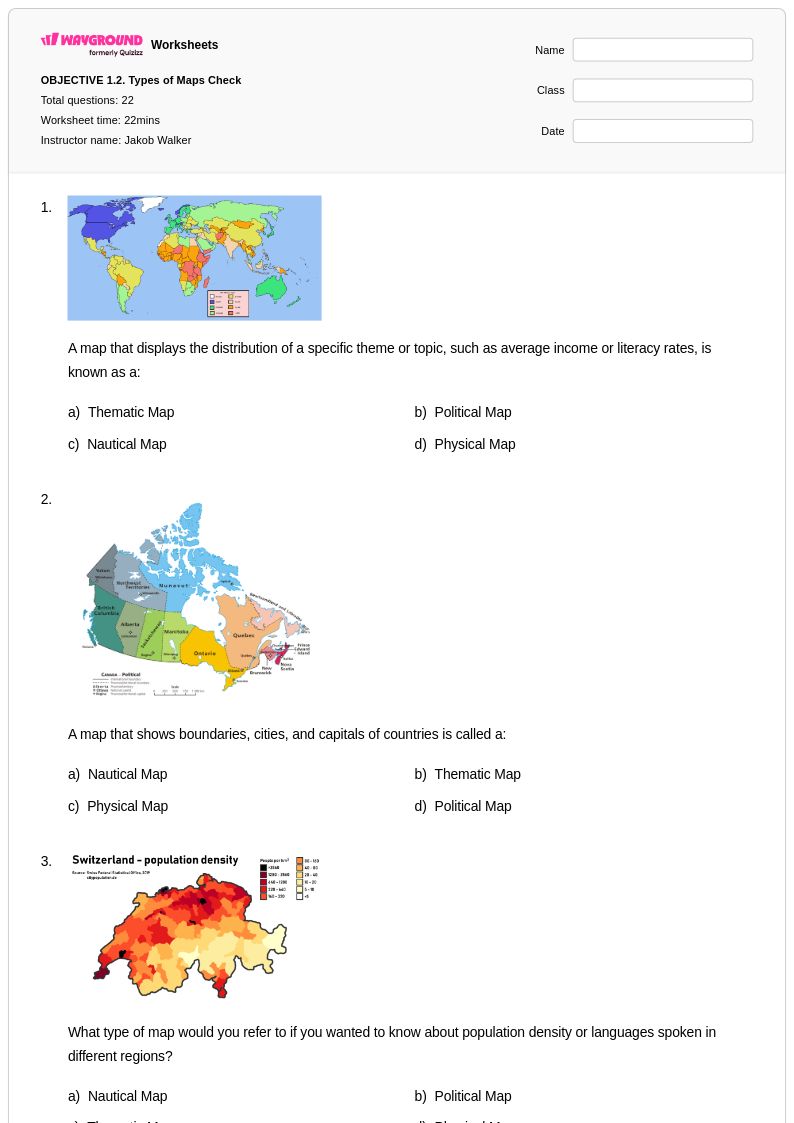
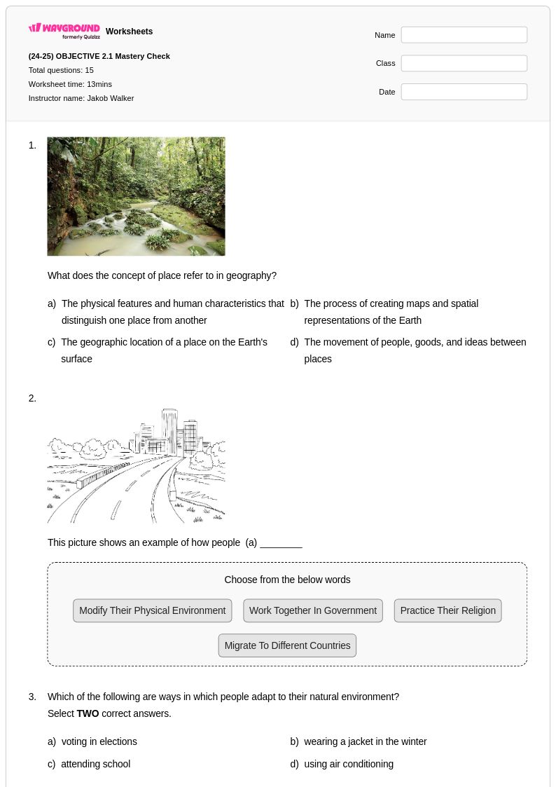
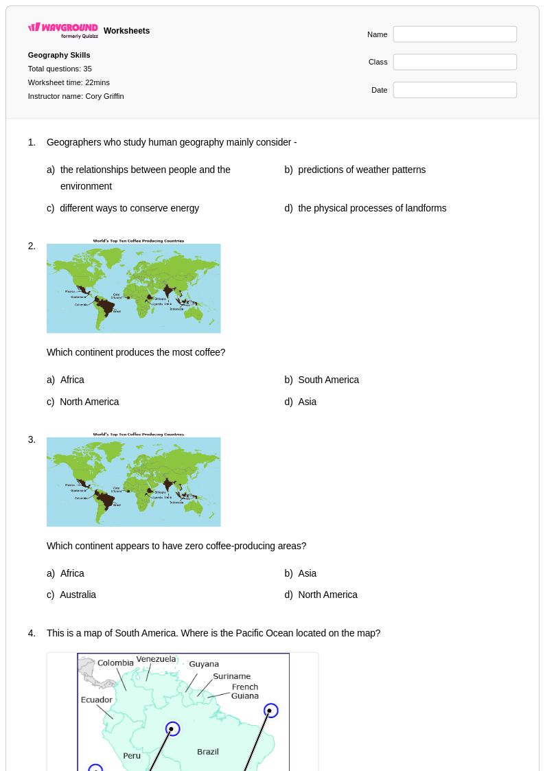
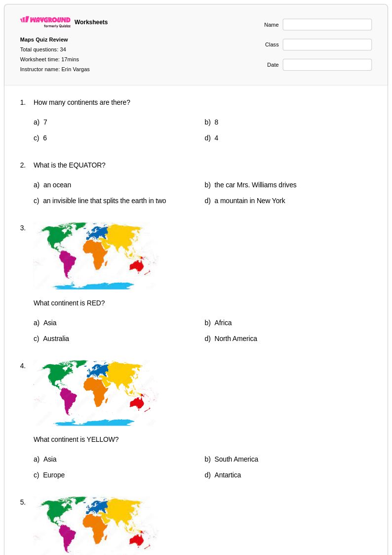
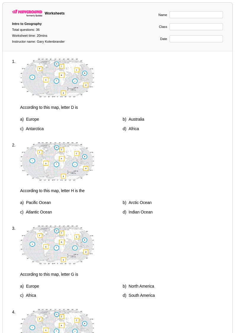
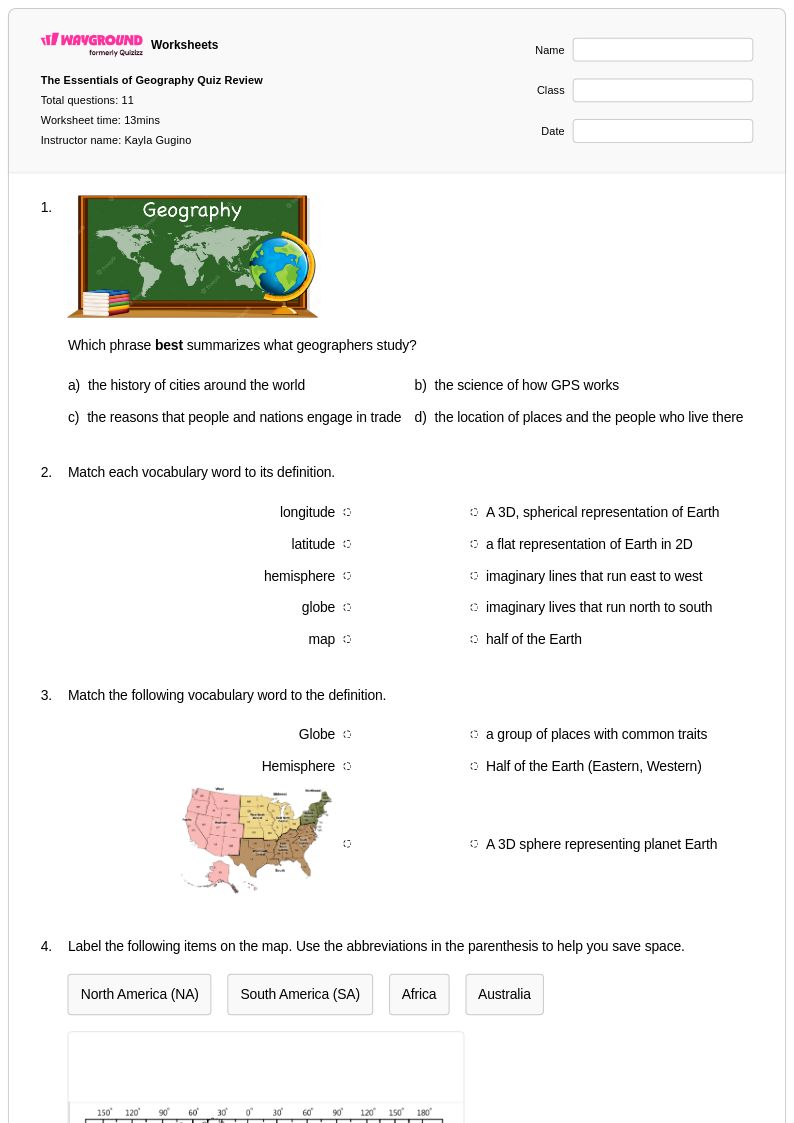
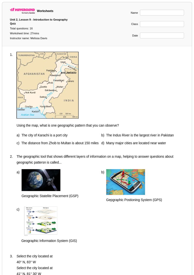
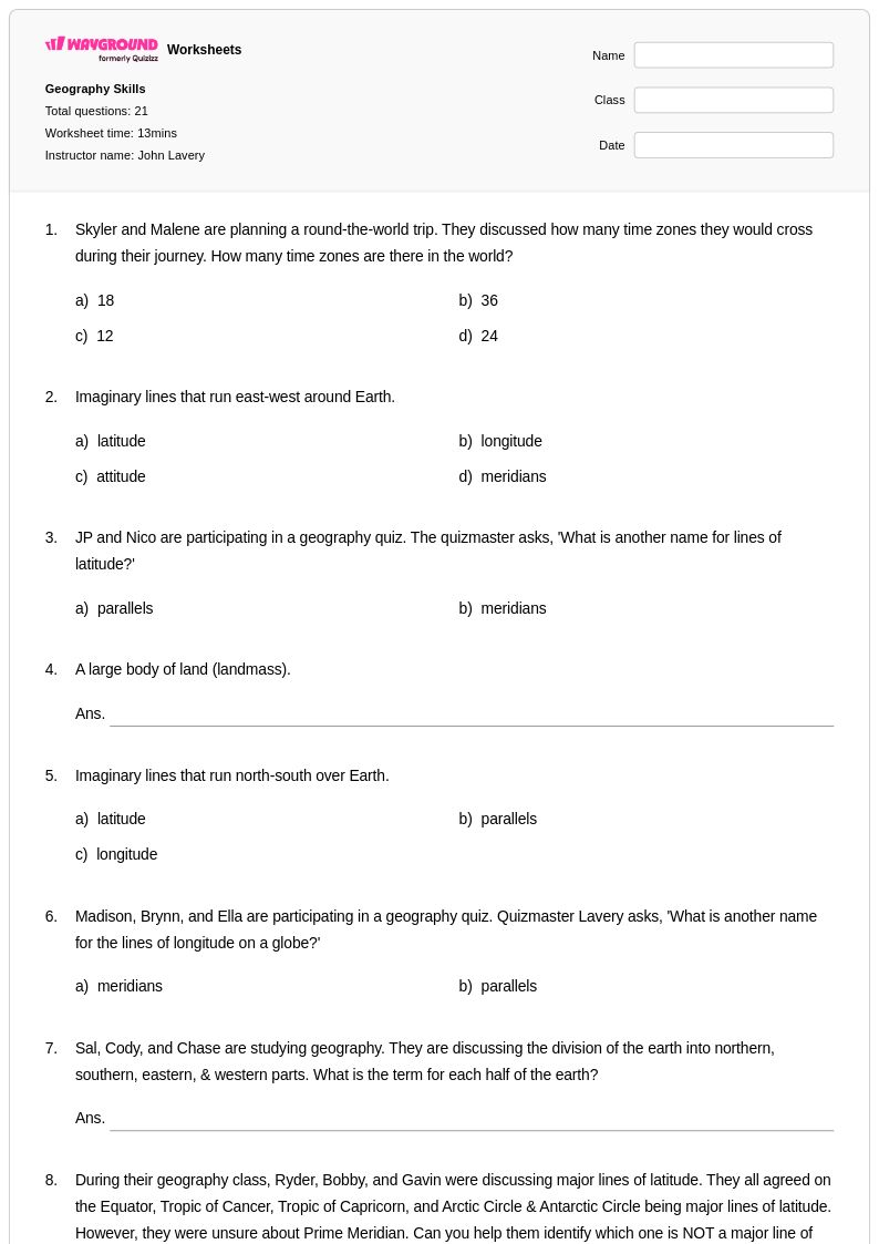
Elevation maps worksheets for Class 6 students available through Wayground (formerly Quizizz) provide comprehensive practice in understanding topographic representation and interpreting three-dimensional landforms on two-dimensional surfaces. These carefully crafted worksheets strengthen essential geographic skills including reading contour lines, identifying elevation changes, calculating gradient and slope, and analyzing how physical features influence human settlement patterns. Students develop proficiency in using map legends, understanding scale relationships, and recognizing elevation symbols through engaging practice problems that progress from basic contour line identification to complex terrain analysis. Each worksheet collection includes detailed answer keys and is available as free printable pdf resources, allowing educators to seamlessly integrate topographic map instruction into their social studies curriculum while building students' spatial reasoning and critical thinking abilities.
Wayground (formerly Quizizz) supports educators with an extensive collection of teacher-created elevation map resources drawn from millions of high-quality worksheets developed by geography specialists and experienced classroom teachers. The platform's robust search and filtering capabilities enable teachers to quickly locate materials aligned with specific learning standards and differentiated for varying skill levels within Class 6 classrooms. These comprehensive worksheet collections are available in both printable and digital formats, including downloadable pdf versions, allowing for flexible implementation whether students are learning in traditional classrooms or remote environments. Teachers can customize existing materials or combine multiple resources to create targeted practice sessions for remediation, enrichment, or skill reinforcement, ensuring that every student develops strong foundational knowledge in topographic map interpretation and elevation analysis essential for advanced geographic study.
FAQs
How do I teach students to read elevation maps?
Start by helping students understand that elevation maps use contour lines to represent three-dimensional terrain on a two-dimensional surface. Teach students that lines close together indicate steep slopes while lines far apart indicate gradual terrain. From there, introduce key features like peaks, valleys, ridges, and depressions before asking students to interpret real topographic examples. Hands-on practice identifying elevation changes between labeled contour intervals builds the spatial reasoning students need to read these maps independently.
What exercises help students practice reading contour lines on elevation maps?
Effective practice exercises include identifying the highest and lowest points on a given map, calculating the elevation difference between two locations, and determining the direction water would flow across a landscape. Students also benefit from drawing cross-section profiles, which require them to translate contour line data into a side-view elevation diagram. Worksheets that move from basic elevation identification to full topographical analysis give students structured, progressive practice with these skills.
What mistakes do students commonly make when interpreting elevation maps?
The most common error is misreading contour intervals, which leads students to miscalculate actual elevation values between lines. Students also frequently confuse closely spaced contour lines with widely spaced ones, misidentifying steep slopes as gentle and vice versa. Another persistent misconception is assuming that contour lines that form closed circles always represent hills, when they can also indicate depressions marked with hachure lines. Targeted practice with labeled answer keys helps students identify and correct these specific errors.
How does understanding elevation maps connect to other geography concepts?
Elevation is foundational to understanding how physical geography shapes climate, ecosystems, and human settlement patterns. Higher elevations generally produce cooler temperatures and different precipitation patterns, which directly influence vegetation zones and land use. Teaching elevation maps alongside units on climate regions, river systems, or human geography gives students a concrete tool for explaining why landscapes and communities look the way they do.
How can I use Wayground's elevation maps worksheets in my classroom?
Wayground's elevation maps worksheets are available as printable PDFs for traditional classroom use and in digital formats for technology-integrated or remote learning environments, including the option to host them as an interactive quiz on Wayground. Teachers can use these worksheets for direct instruction support, independent practice, homework assignments, or formative assessment. Each worksheet includes a complete answer key, making it straightforward to review student work and identify where additional instruction is needed.
How can I support struggling students who have difficulty with topographic map reading?
Students who struggle with elevation maps often need additional scaffolding around spatial visualization and vocabulary before tackling full contour line interpretation. On Wayground, teachers can apply accommodations such as Read Aloud to support students who need question content read to them, or reduce answer choices to lower cognitive load for individual students without affecting the rest of the class. Pairing these accommodations with foundational elevation identification exercises gives struggling learners a structured path toward proficiency.