Free Printable Maps of European Exploration Worksheets for Class 4
Class 4 students explore maps of European exploration through Wayground's free printable worksheets and practice problems, complete with answer keys to help master key World History concepts.
Explore printable Maps of European Exploration worksheets for Class 4
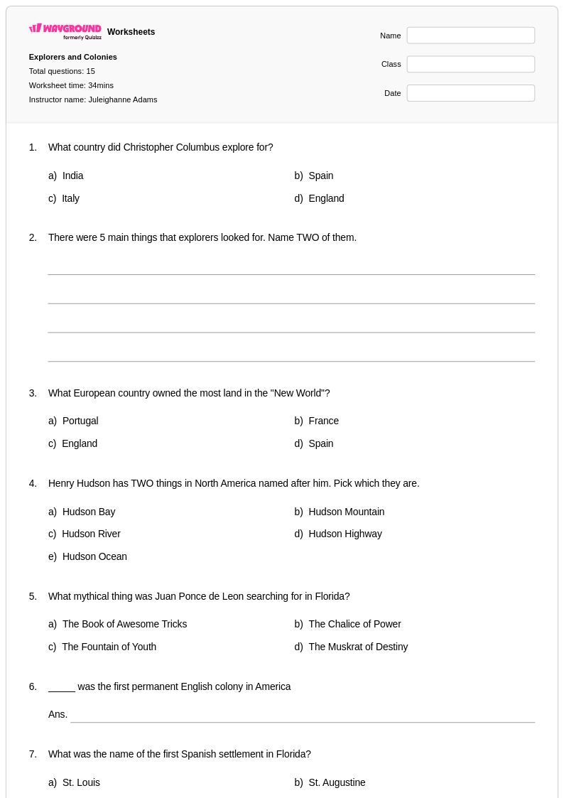
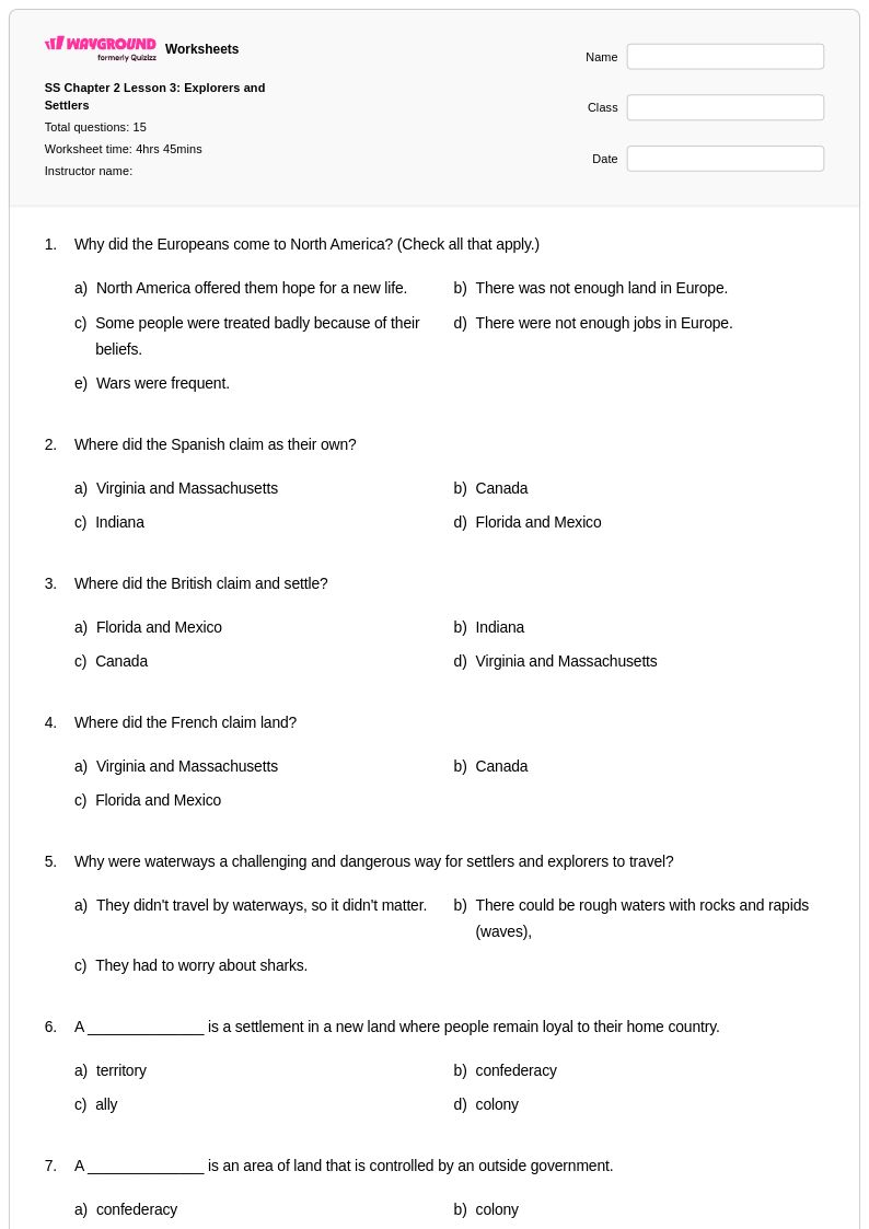
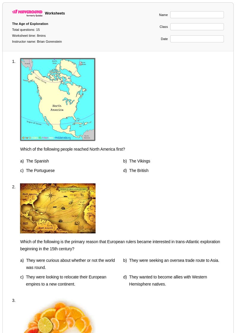
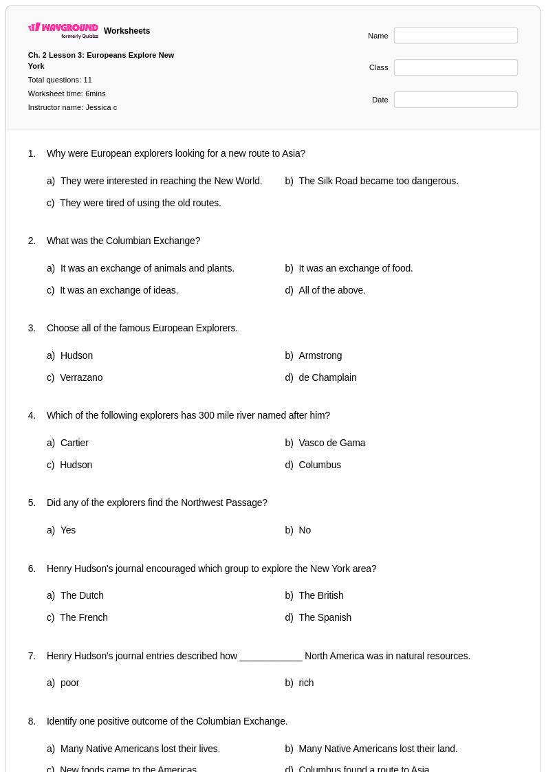
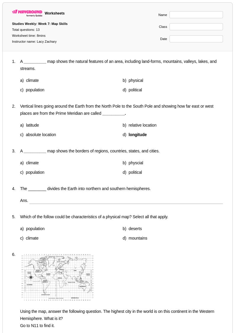
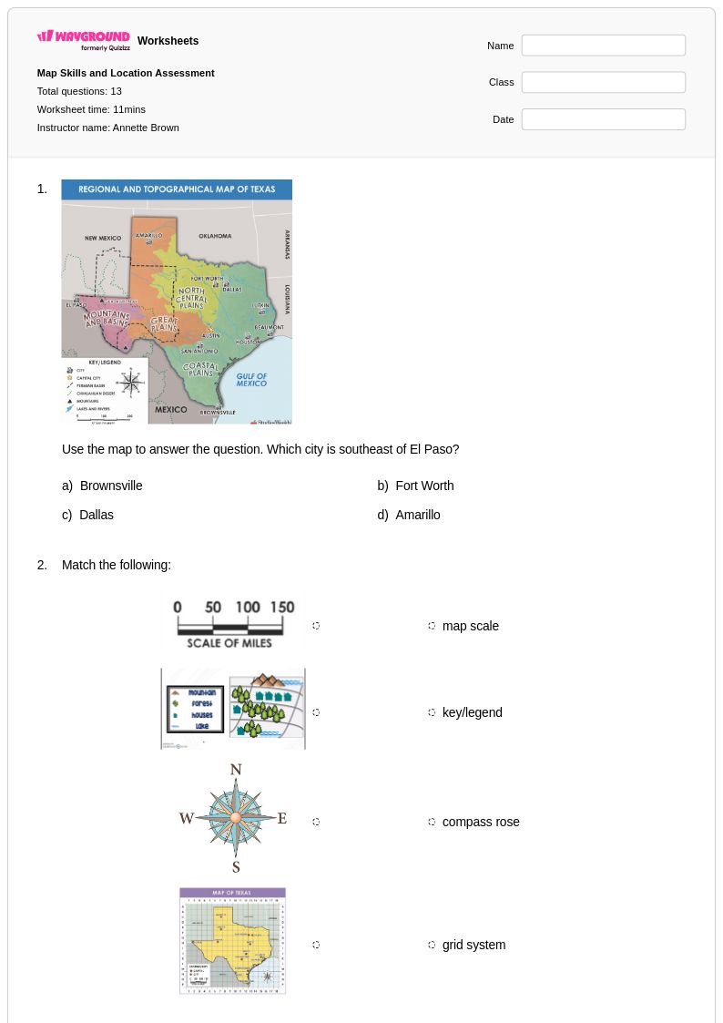
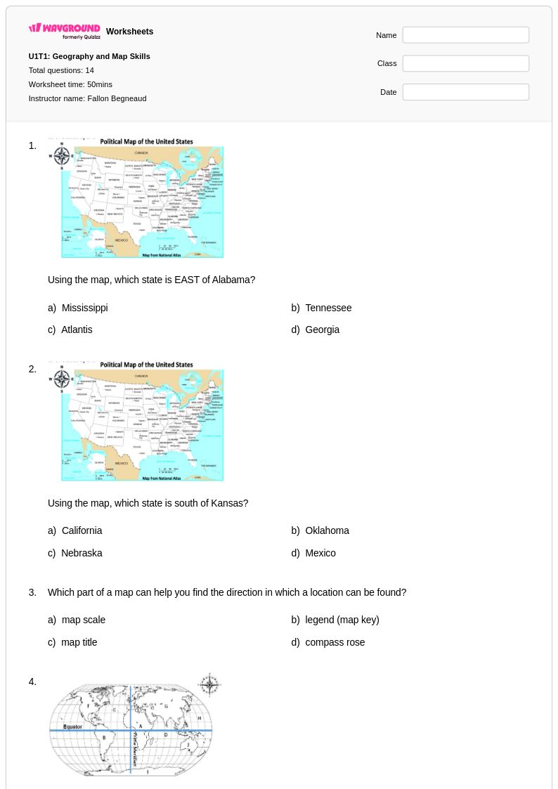
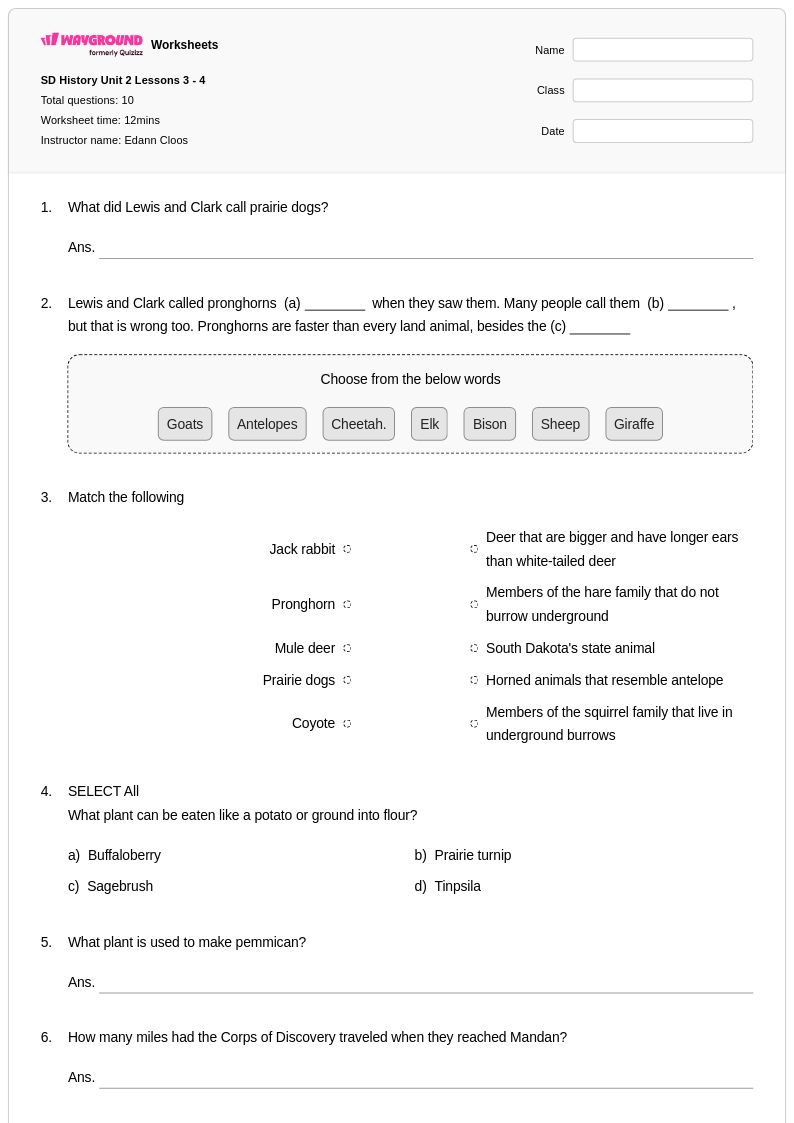
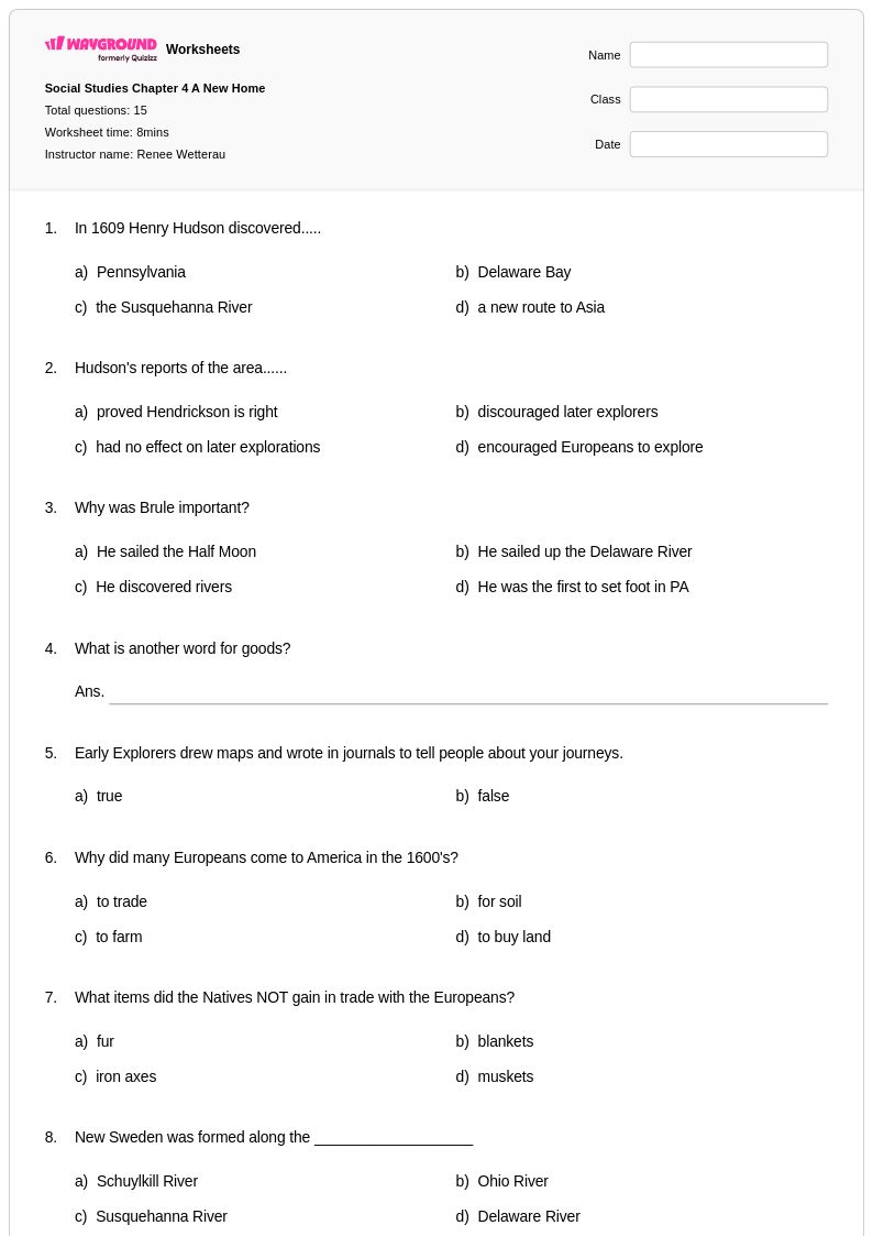
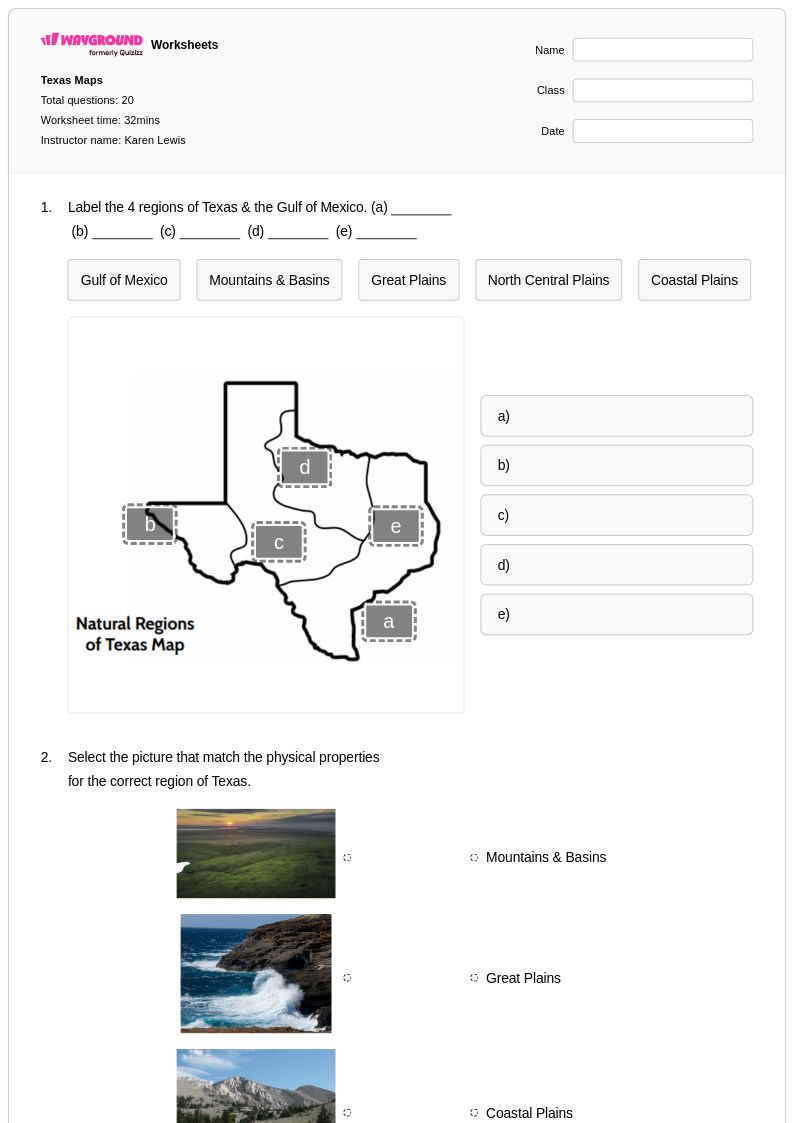
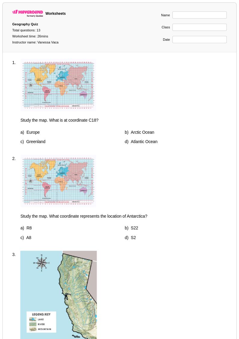
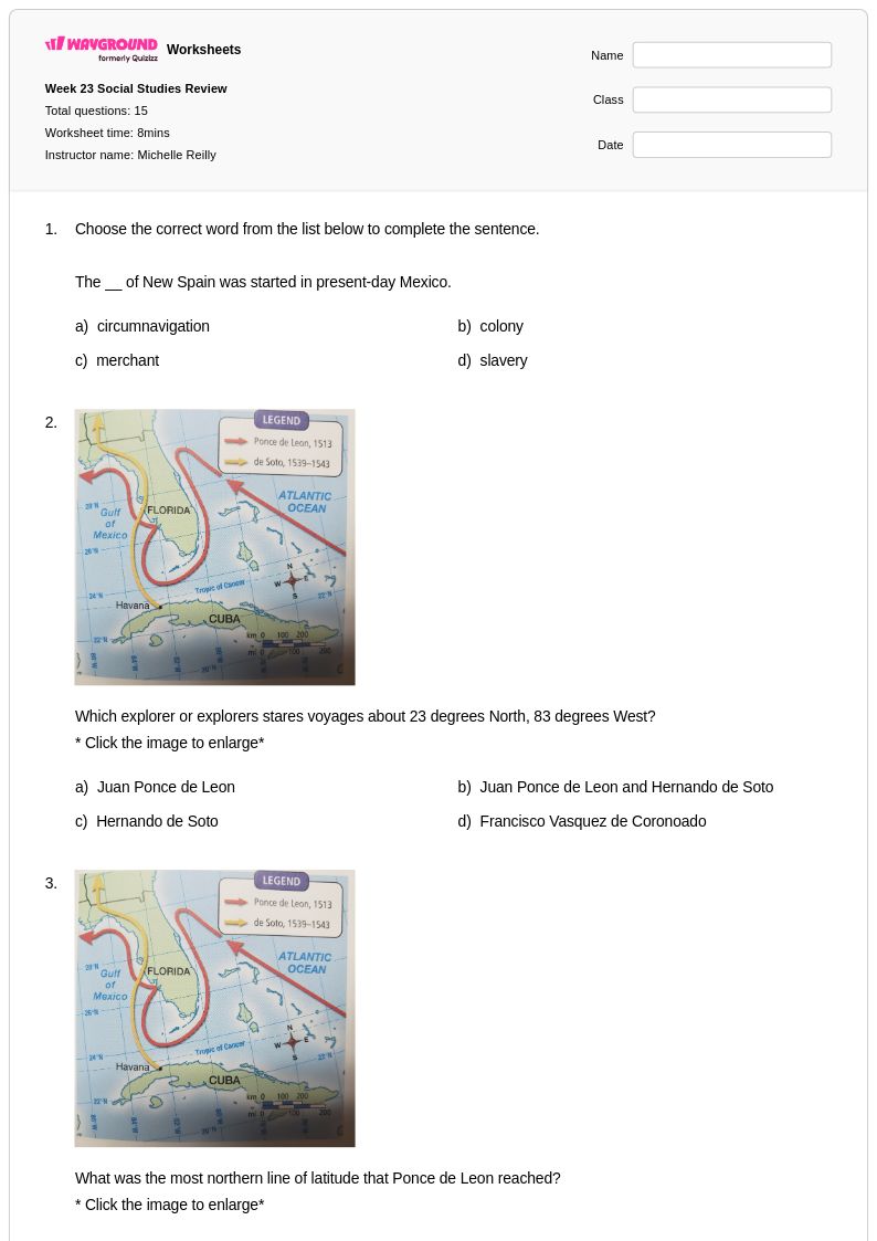
Maps of European Exploration worksheets for Class 4 provide students with essential geographic literacy skills while deepening their understanding of pivotal historical journeys that shaped the modern world. These comprehensive printables guide young learners through the routes of famous explorers like Christopher Columbus, Vasco da Gama, and Magellan, helping them visualize how these voyages connected continents and cultures for the first time. Students develop critical map-reading abilities as they trace exploration paths, identify key geographic features, and analyze the relationship between geography and historical events. Each worksheet includes detailed answer keys and practice problems that reinforce spatial reasoning skills while building foundational knowledge about the Age of Exploration. These free educational resources transform abstract historical concepts into concrete learning experiences through hands-on map work and geographic analysis.
Wayground, formerly Quizizz, empowers educators with an extensive collection of teacher-created Maps of European Exploration resources that seamlessly integrate into Class 4 Social Studies curricula. The platform's millions of worksheets offer robust search and filtering capabilities, allowing teachers to quickly locate materials that align with specific learning standards and student needs. Advanced differentiation tools enable educators to customize content complexity, ensuring that both struggling learners and advanced students can engage meaningfully with exploration geography concepts. These versatile resources are available in both printable PDF formats for traditional classroom use and digital formats for interactive learning experiences. Teachers leverage these comprehensive worksheet collections for targeted skill practice, remediation of geographic concepts, enrichment activities for accelerated learners, and streamlined lesson planning that addresses diverse learning objectives within European exploration studies.
FAQs
How do I teach students to read and interpret historical exploration maps?
Start by grounding students in map fundamentals: scale, compass rose, legend, and coordinate systems. Then introduce historical context by having students compare period maps (like portolan charts) with modern equivalents to highlight what explorers knew versus what they discovered. Walking students through a single voyage, such as Columbus's 1492 route, before asking them to analyze others independently helps build the spatial reasoning needed for broader comparative work.
What exercises help students practice analyzing European exploration routes?
Effective practice tasks include tracing explorer routes on blank maps, identifying key waypoints and geographic obstacles, and comparing the routes of multiple explorers side by side to identify patterns. Students also benefit from connecting routes to motivations, such as linking Portugal's eastward routes to the spice trade, which reinforces both geographic literacy and historical analysis in the same exercise.
What common mistakes do students make when analyzing maps of European exploration?
Students frequently conflate the order of voyages or misattribute discoveries to the wrong explorer, especially when multiple expeditions followed similar routes. Another common error is interpreting European-drawn maps as objective records rather than recognizing that they reflect European perspectives and often omit or distort indigenous territories. Students also struggle to use map scale accurately when estimating voyage distances and travel time.
How can I use Maps of European Exploration worksheets to assess student understanding?
Use map-labeling tasks to assess recall of key routes and explorers, and open-response questions to evaluate whether students can explain the geographic, economic, and political motivations behind specific voyages. Asking students to evaluate the consequences of European contact with indigenous populations on the same map activity integrates geographic and historical thinking into a single assessable task. Answer keys included with these worksheets make grading consistent and efficient.
How do I use Wayground's Maps of European Exploration worksheets in my classroom?
These worksheets are available as both printable PDFs and in digital formats, making them suitable for traditional classroom settings and technology-integrated environments alike. You can assign them as standalone practice, use them as a guided activity during instruction, or host them as a quiz directly on Wayground. For students who need additional support, Wayground's built-in accommodation tools allow you to enable read-aloud, extended time, or reduced answer choices on an individual basis without affecting other students' experiences.
How do I differentiate Maps of European Exploration instruction for diverse learners?
For students who struggle with geographic literacy, pre-teaching map vocabulary and providing partially completed maps with labeled continents and oceans reduces cognitive overload. Advanced students can be challenged with comparative analysis tasks, such as evaluating how different explorers' routes reflect competing national interests. On Wayground, teachers can apply accommodations like extended time, read-aloud, or reduced answer choices to individual students, ensuring differentiated support without singling anyone out in the classroom.