Explore Wayground's free kindergarten maps worksheets and printables that help young learners discover basic geography concepts through engaging practice problems, complete with answer keys and downloadable PDFs.
Explore printable Maps worksheets for Kindergarten
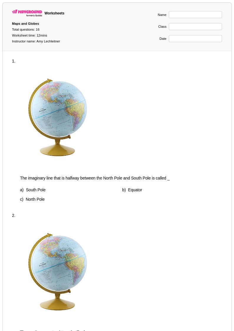
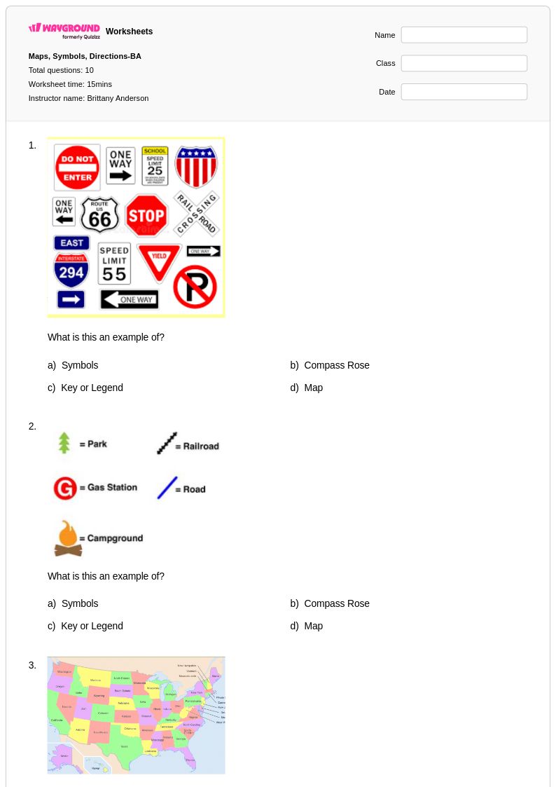
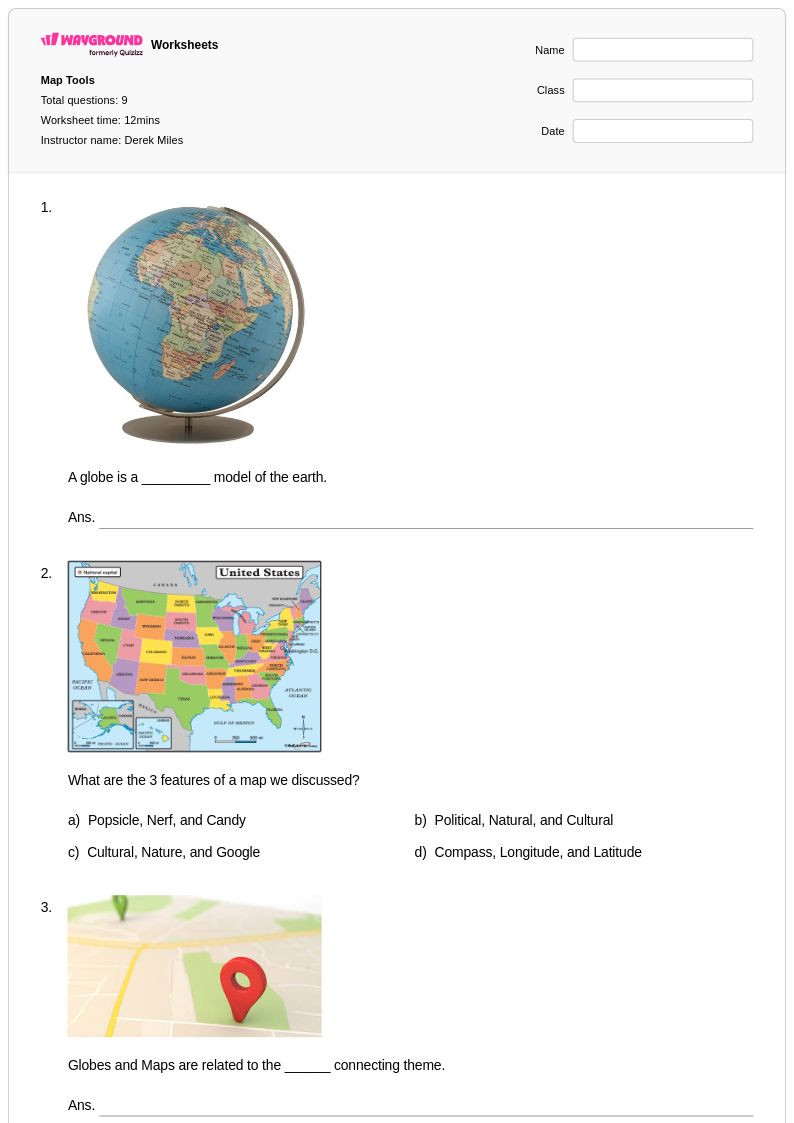
Maps worksheets for kindergarten students available through Wayground (formerly Quizizz) introduce young learners to fundamental geographical concepts through age-appropriate visual activities and hands-on exploration. These carefully designed printables help kindergarteners develop essential spatial awareness skills by teaching them to identify basic map symbols, recognize simple directional concepts like up, down, left, and right, and understand that maps represent real places from a bird's eye view. The collection includes practice problems that guide students through reading basic classroom maps, neighborhood layouts, and simple treasure maps, with each worksheet featuring clear answer keys that support both independent learning and teacher-led instruction. These free resources strengthen critical thinking abilities while building foundational geography knowledge that prepares students for more advanced map reading skills in later grades.
Wayground (formerly Quizizz) empowers educators with an extensive library of millions of teacher-created map worksheets specifically curated for kindergarten instruction, featuring robust search and filtering capabilities that allow teachers to quickly locate materials aligned with specific learning objectives and educational standards. The platform's differentiation tools enable instructors to customize worksheets based on individual student needs, whether providing additional support for struggling learners or offering enrichment activities for advanced students. Teachers can access these resources in both printable pdf format for traditional classroom use and digital formats for interactive learning experiences, making lesson planning more efficient while supporting targeted skill practice, remediation activities, and enrichment opportunities that address diverse learning styles and academic levels within the kindergarten classroom.
FAQs
How do I teach map reading skills to students?
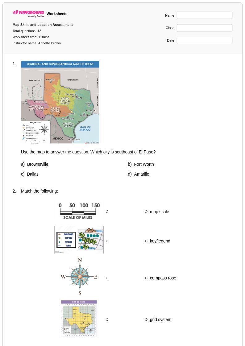
Start by introducing the core components of a map — title, legend, compass rose, scale, and grid — before asking students to apply each element to a real or sample map. Progress from simple political maps to more complex topographic or weather maps as students build confidence. Anchoring each lesson in a specific map type helps students understand that cartographic conventions vary by purpose and audience.
What exercises help students practice map skills?
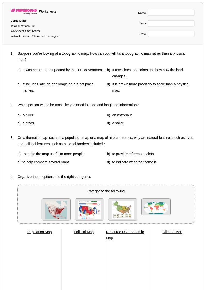
Effective map skills practice includes reading and interpreting legends, calculating real-world distances using map scale, identifying locations using coordinate systems, and comparing information across different map types. Structured worksheets that sequence these tasks from basic to complex help students build spatial reasoning incrementally. Regular exposure to diverse map formats — topographic, political, historical, and weather — ensures students can extract meaning from a wide range of visual geographic data.
What mistakes do students commonly make when reading maps?
Students frequently confuse map scale, either ignoring it entirely or misapplying the ratio when estimating distances. Another common error is misreading compass orientation, especially on maps where north is not aligned to the top of the page. Students also tend to overlook the legend, guessing at symbol meanings rather than referencing the key — which leads to systematic misinterpretation of the map's information.
How can I differentiate map skills instruction for students at different levels?
For struggling learners, simplify the map type and reduce the number of variables — use a clean political map with a clear legend before introducing topographic elevation data. Advanced students can be challenged with multi-step spatial analysis tasks or comparing two maps to identify changes over time. On Wayground, teachers can apply accommodations such as read aloud, reduced answer choices, and extended time to individual students, allowing the same worksheet to serve diverse learners simultaneously.
How do I use Wayground's maps worksheets in my classroom?
Wayground's maps worksheets are available as printable PDFs for traditional classroom use and in digital formats for technology-integrated environments. Teachers can also host worksheets as an interactive quiz directly on Wayground, which allows for real-time student responses and immediate feedback. Each worksheet includes a complete answer key, making them practical for independent practice, homework, or formative assessment without additional prep.
How do I align map skills practice to curriculum standards?
Map reading and spatial reasoning appear across geography, social studies, earth science, and history standards at multiple grade levels, so alignment depends on the specific map type and skill being addressed. When selecting worksheets, filter by the cartographic concept you are targeting — coordinate systems and scale are common in middle school geography standards, while historical and political map interpretation often appears in social studies units. Using worksheets that include structured, progressive practice problems makes it easier to demonstrate skill development over a unit.