
15 Q
2nd
20 Q
1st - 12th
20 Q
1st - 12th
15 Q
2nd - 4th
17 Q
2nd - 4th
19 Q
2nd
10 Q
2nd
20 Q
2nd
10 Q
2nd - 3rd
10 Q
2nd
19 Q
2nd - 5th
10 Q
2nd
12 Q
2nd
10 Q
2nd
11 Q
2nd
10 Q
2nd
10 Q
2nd
7 Q
2nd
20 Q
2nd - 5th
35 Q
2nd - 10th
14 Q
2nd
7 Q
2nd
20 Q
1st - 5th
17 Q
2nd
Explore Other Subject Worksheets for class 2
Explore printable Physical Maps worksheets for Class 2
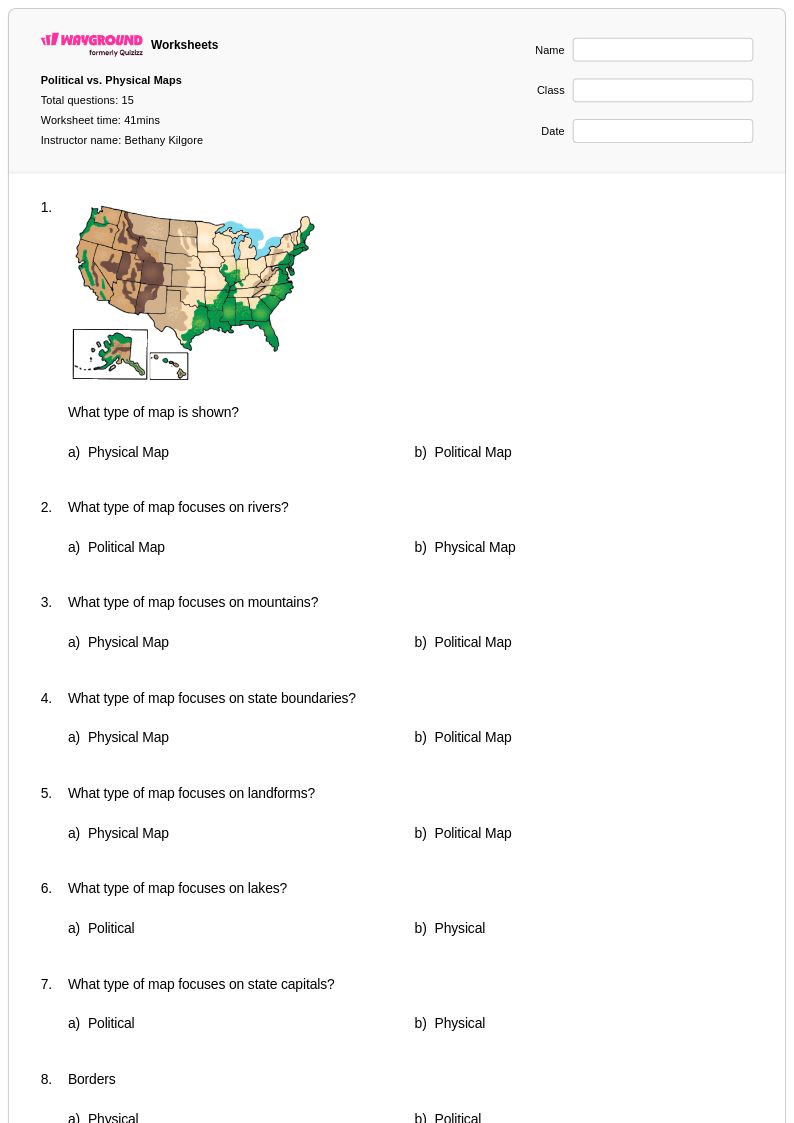
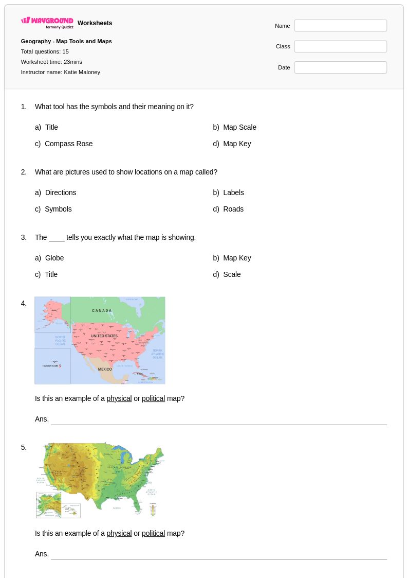
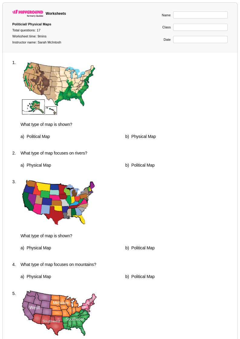
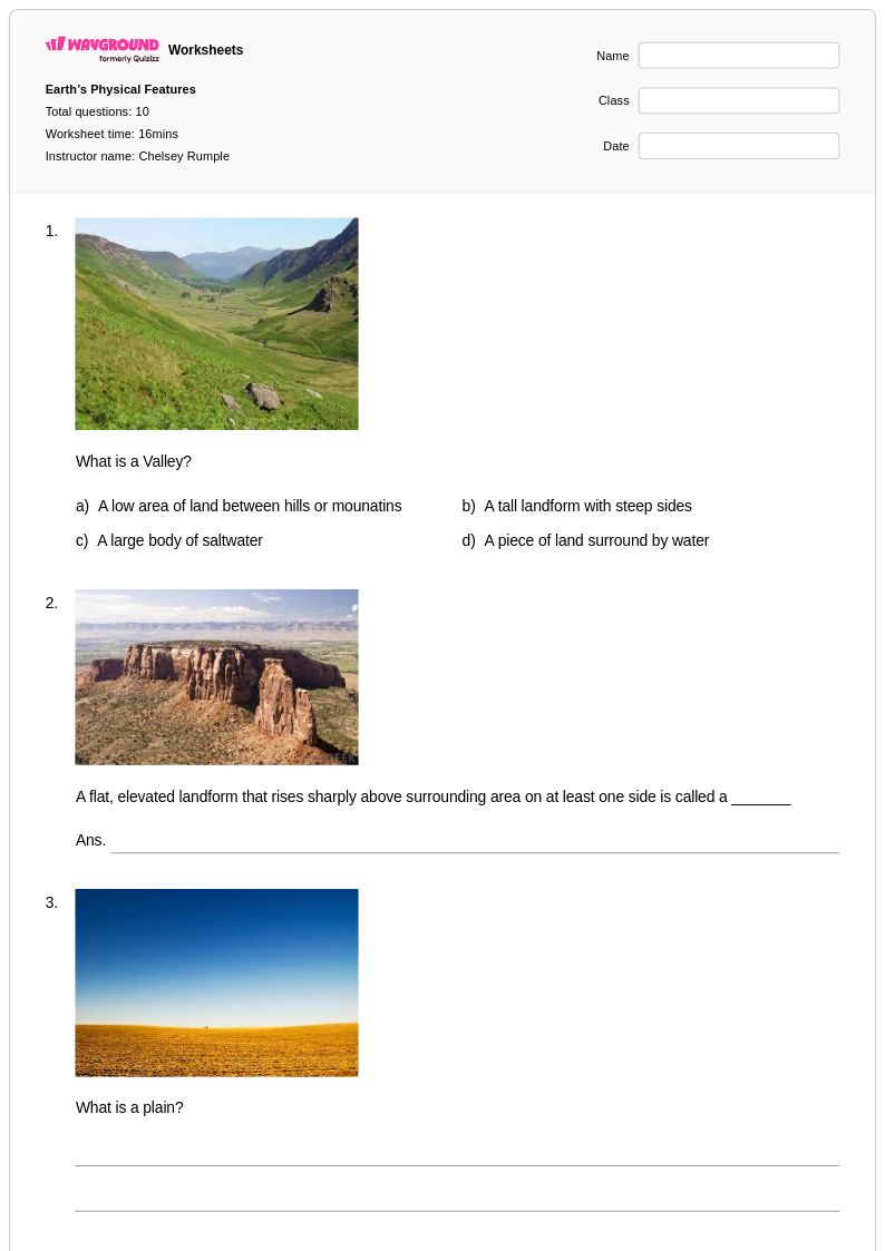
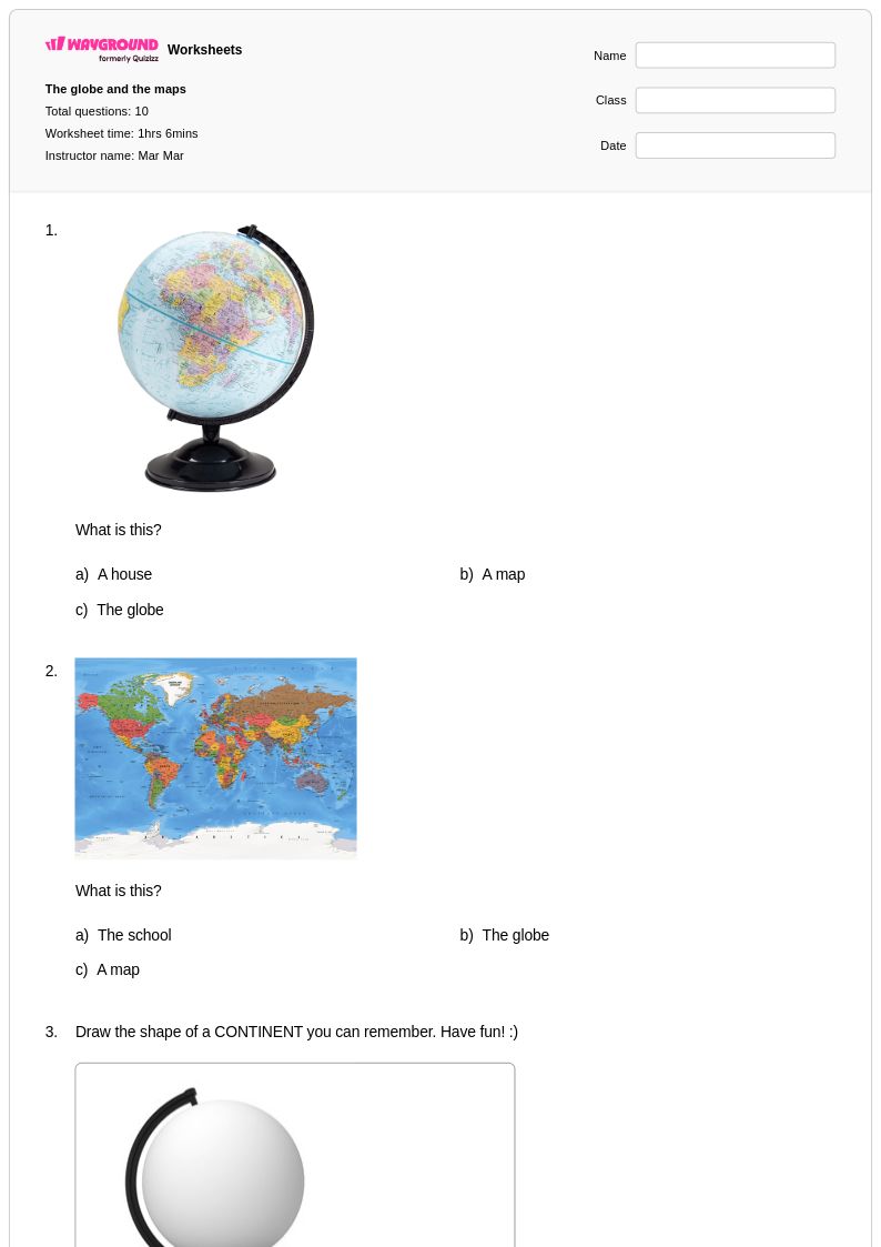
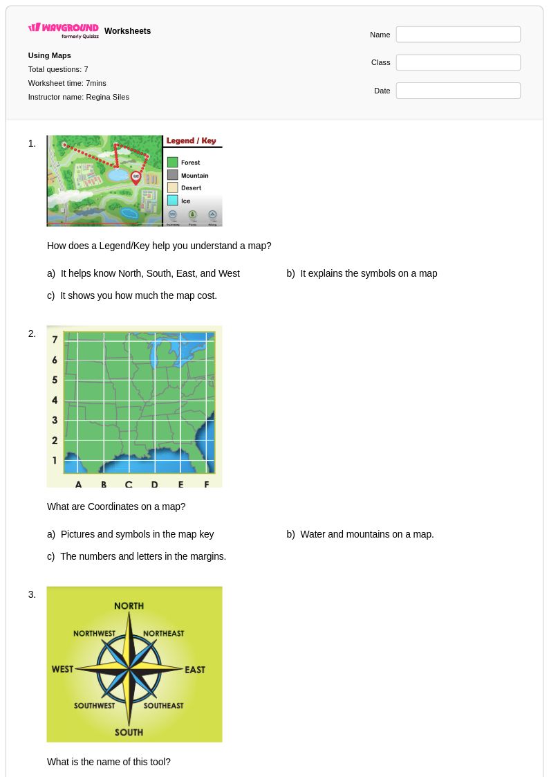
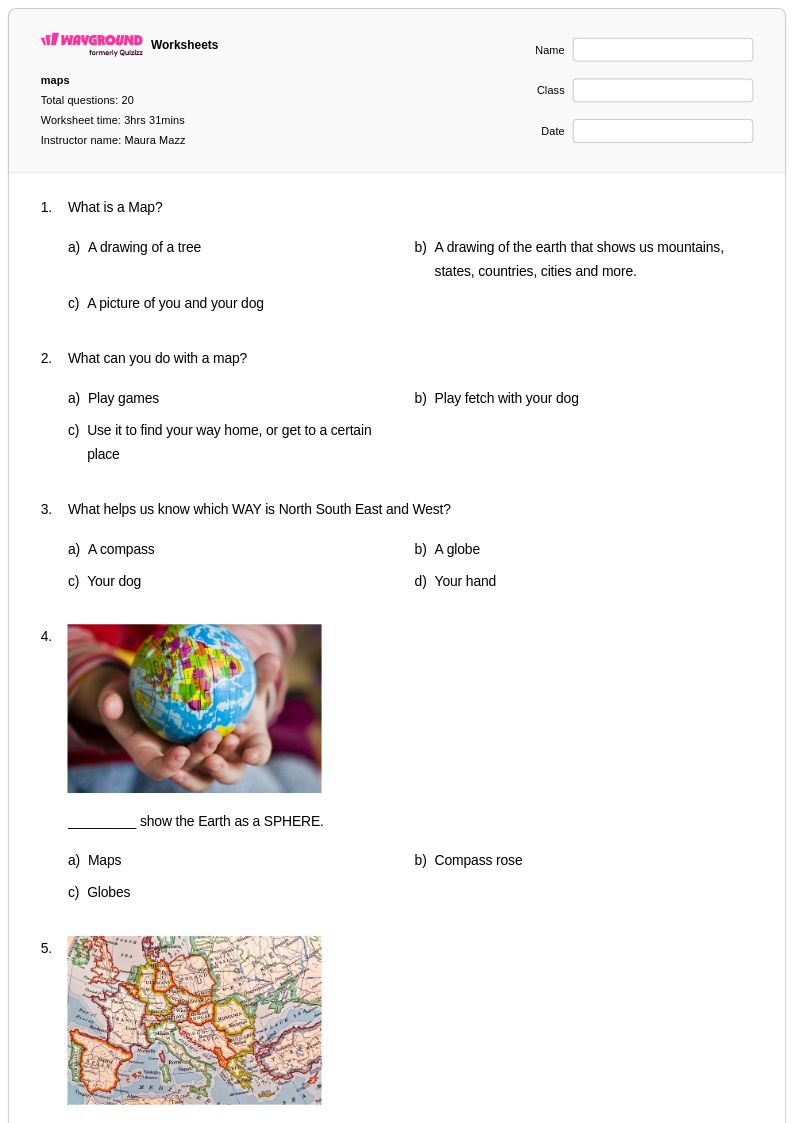
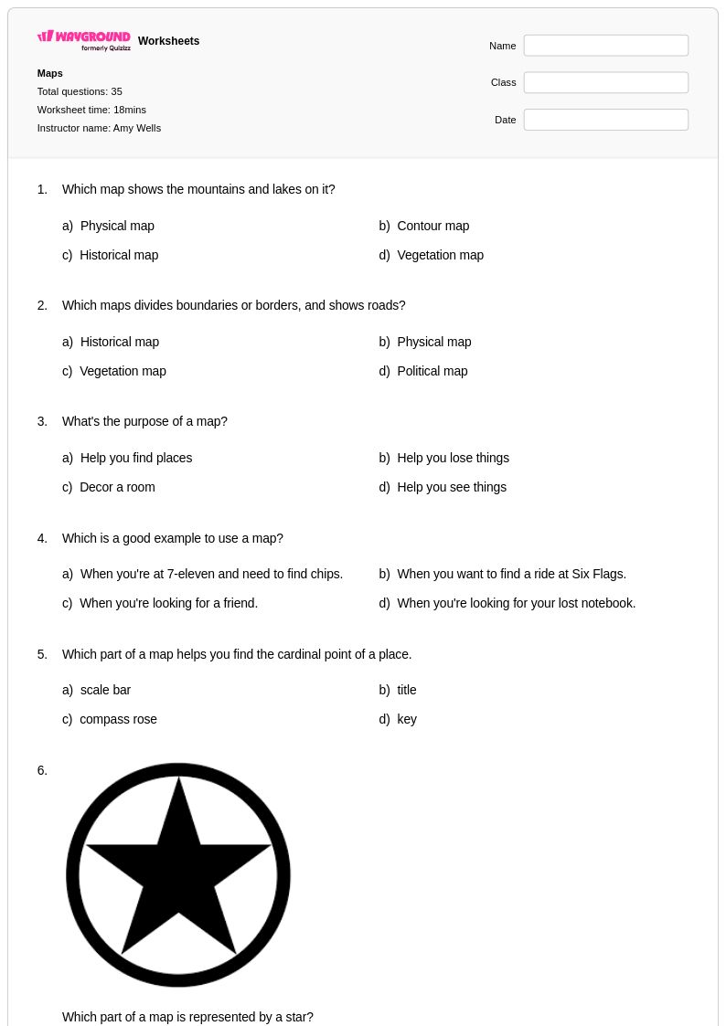
Physical maps worksheets for Class 2 students available through Wayground (formerly Quizizz) provide essential foundation-building resources that introduce young learners to the fundamental elements of Earth's natural features. These carefully designed printables focus on helping second-grade students identify and understand key geographical landforms such as mountains, rivers, lakes, oceans, and deserts through age-appropriate visual representations and engaging practice problems. The worksheets strengthen critical map-reading skills by teaching students to recognize topographical symbols, understand elevation changes through color coding, and distinguish between water bodies and land masses. Each resource includes comprehensive answer keys that support both independent learning and guided instruction, while the free pdf format ensures easy accessibility for classroom use and home practice.
Wayground's extensive collection draws from millions of teacher-created resources specifically designed to support educators in delivering effective physical geography instruction to Class 2 students. The platform's robust search and filtering capabilities allow teachers to quickly locate worksheets that align with specific learning standards and match their students' varied skill levels, while built-in differentiation tools enable seamless customization for diverse learning needs. These digital and printable materials serve multiple instructional purposes, from initial skill introduction and daily practice to targeted remediation for struggling learners and enrichment activities for advanced students. Teachers benefit from the flexibility to modify content, track student progress, and seamlessly integrate these physical maps resources into comprehensive lesson planning that builds spatial thinking and geographical literacy from an early age.
FAQs
How do I teach students to read a physical map?
What exercises help students practice reading physical maps?
What mistakes do students commonly make when interpreting physical maps?
How can I differentiate physical maps instruction for students at different skill levels?
How do I use Wayground's physical maps worksheets in my classroom?