
20 Q
1st - 5th
20 Q
KG - Uni
10 Q
1st
8 Q
1st
10 Q
KG - 2nd
10 Q
1st
22 Q
1st - 2nd
12 Q
1st - Uni
10 Q
1st - 3rd
15 Q
1st - 2nd
15 Q
1st
10 Q
1st
7 Q
1st
12 Q
1st - 3rd
7 Q
1st
14 Q
KG - 8th
12 Q
1st - 2nd
5 Q
1st
12 Q
1st - 5th
16 Q
1st - 12th
16 Q
1st - 5th

10 Q
1st - 5th
10 Q
1st
10 Q
1st - 3rd
Explore Other Subject Worksheets for class 1
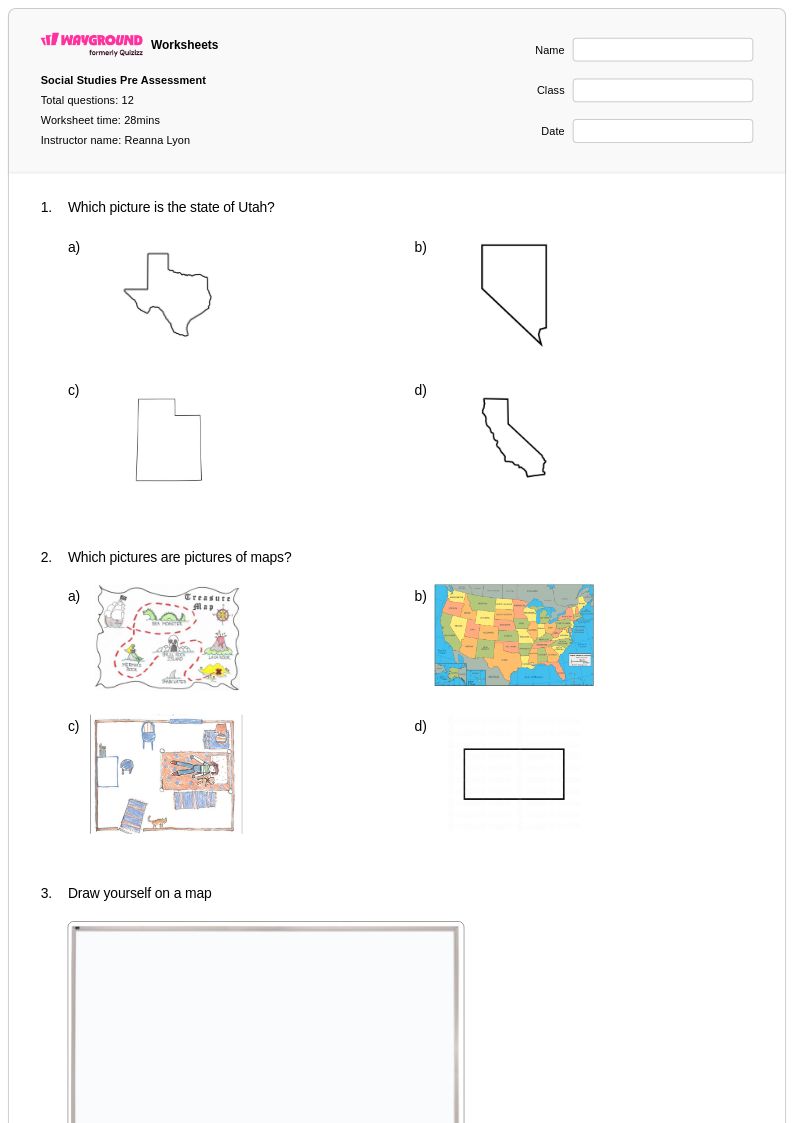
Explore printable State Maps worksheets for Class 1
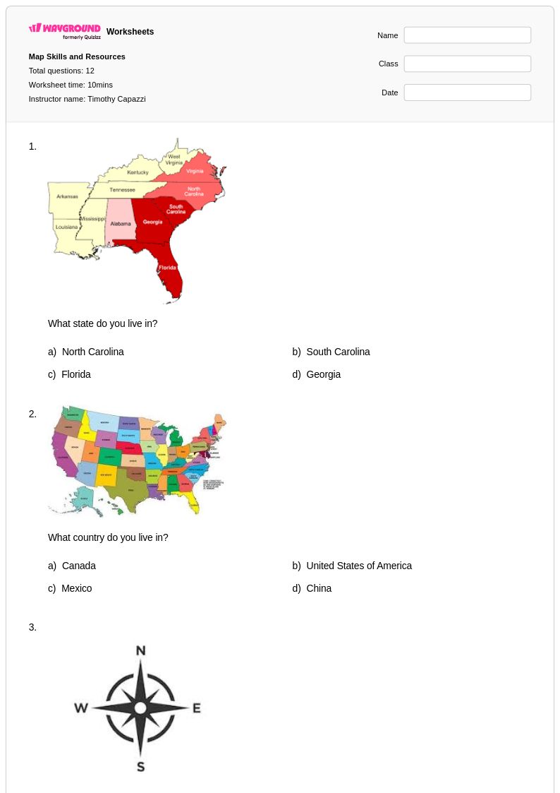
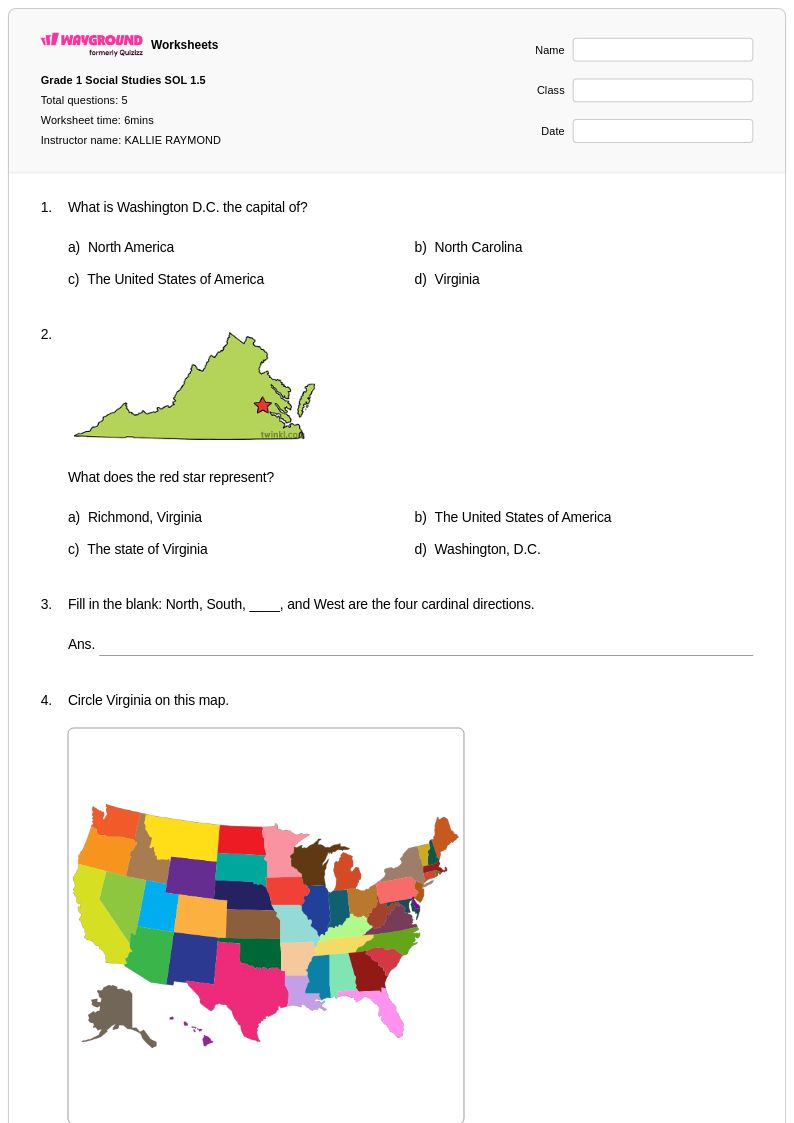
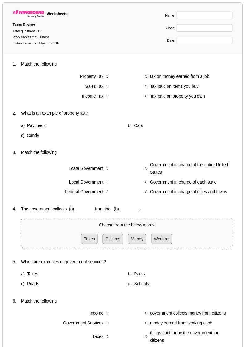
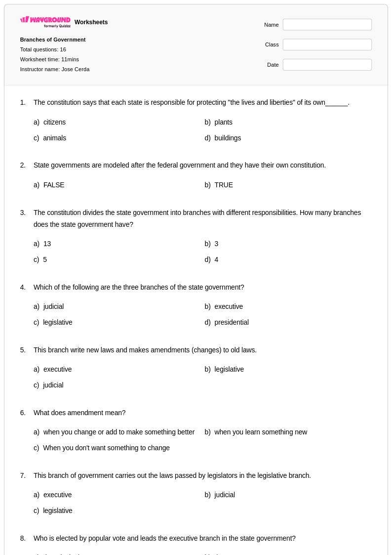
State maps worksheets for Class 1 through Wayground (formerly Quizizz) introduce young learners to fundamental geographic concepts while building essential spatial awareness and map-reading skills. These carefully designed printables help first-grade students identify their home state, recognize basic state shapes, and understand the concept of political boundaries within the United States. The worksheets strengthen critical thinking abilities as students practice locating states on simplified maps, matching state names to their corresponding shapes, and developing early directional skills through age-appropriate activities. Each worksheet comes with a comprehensive answer key, making it easy for educators to assess student understanding while providing immediate feedback on practice problems that reinforce geographic literacy at the foundational level.
Wayground (formerly Quizizz) supports teachers with an extensive collection of state maps resources drawn from millions of teacher-created materials, offering robust search and filtering capabilities that align with state geography standards for elementary education. The platform's differentiation tools enable educators to customize worksheets based on individual student needs, whether for remediation support or enrichment activities that challenge advanced learners. Teachers can access these resources in both printable pdf format and interactive digital versions, providing flexibility for classroom instruction, homework assignments, and independent practice sessions. The comprehensive filtering system helps educators quickly locate grade-appropriate content for lesson planning, while the diverse range of worksheet styles supports varied learning preferences and helps students develop confidence in basic map skills and geographic awareness.
FAQs
How do I teach students to read and interpret state maps?
What exercises help students practice U.S. state geography?
What common mistakes do students make when working with state maps?
How can I differentiate state maps instruction for students at different skill levels?
How do I use Wayground's state maps worksheets in my classroom?