Free Printable Types of Maps Worksheets for Class 5
Discover free Class 5 Types of Maps worksheets and printables from Wayground that help students practice identifying political, physical, and thematic maps through engaging activities with complete answer keys.
Explore printable Types of Maps worksheets for Class 5
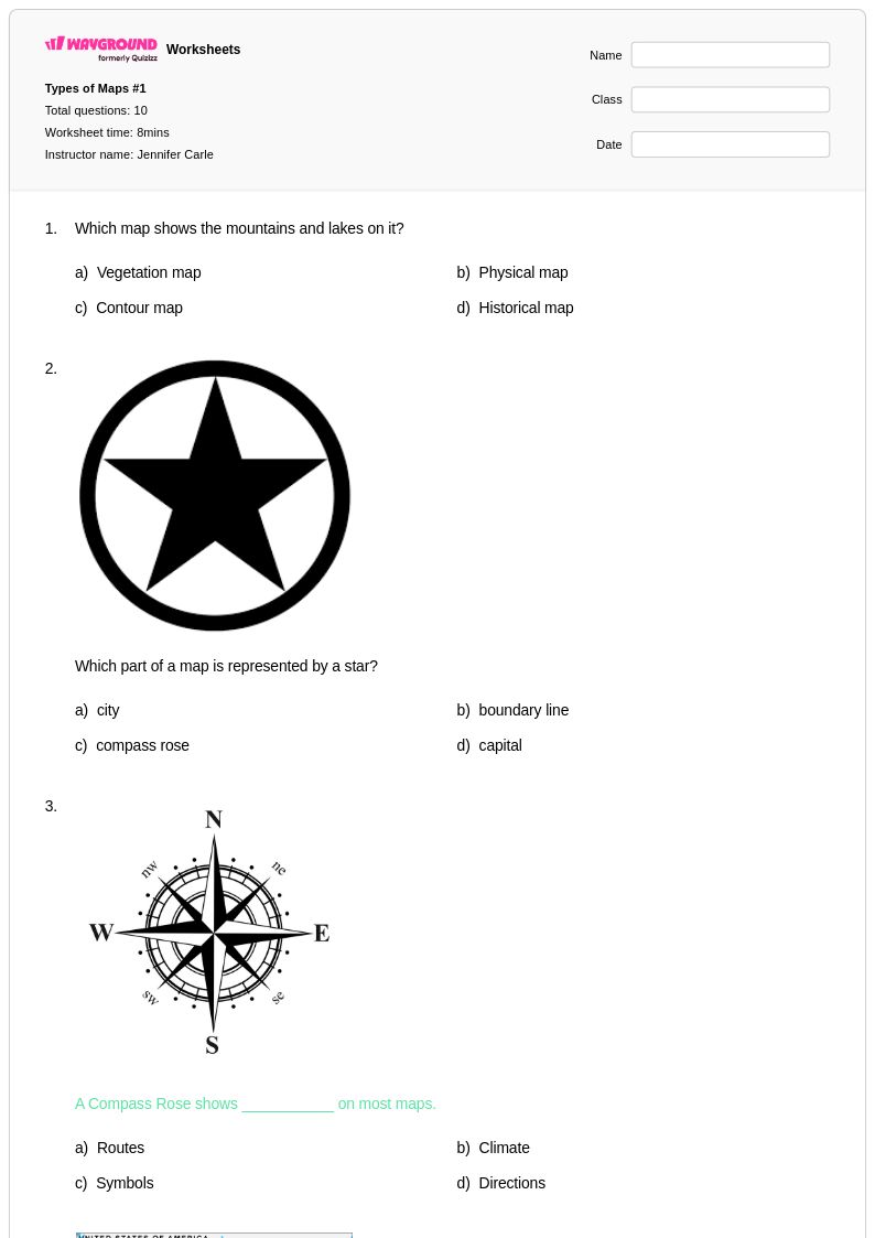
Types of maps worksheets for Class 5 students available through Wayground (formerly Quizizz) provide comprehensive coverage of essential cartographic concepts that fifth-grade learners need to master. These educational resources focus on helping students distinguish between physical maps, political maps, topographic maps, climate maps, and thematic maps while developing critical map-reading skills. The worksheets strengthen students' ability to interpret map symbols, understand scale and distance, identify geographical features, and analyze spatial relationships through engaging practice problems. Each worksheet collection includes detailed answer keys and is available as free printables in pdf format, making it easy for educators to assess student understanding and provide immediate feedback on map interpretation skills.
Wayground (formerly Quizizz) supports teachers with an extensive library of millions of teacher-created resources specifically designed for types of maps instruction at the Class 5 level. The platform's robust search and filtering capabilities allow educators to quickly locate worksheets that align with specific learning standards and curriculum requirements for geography education. Teachers can easily differentiate instruction by selecting from various difficulty levels and formats, customizing content to meet individual student needs for both remediation and enrichment purposes. These versatile resources are available in both printable and digital formats, including downloadable pdfs, enabling flexible implementation whether for classroom instruction, homework assignments, or independent skill practice that reinforces students' understanding of cartographic principles and map analysis techniques.
FAQs
How do I teach students the difference between types of maps?
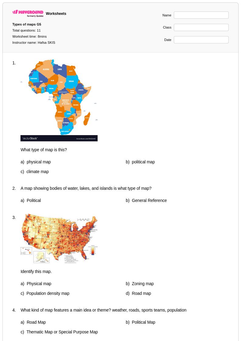
Start by anchoring each map type to a clear purpose: political maps show borders and place names, physical maps show landforms and elevation, topographic maps show terrain using contour lines, climate maps show weather patterns, and thematic maps represent a single variable like population or land use. Use side-by-side comparisons of the same region on different map types so students can see how the same geographic area looks different depending on what the map is designed to communicate. Asking students 'What question does this map answer?' is an effective framing strategy that builds interpretive thinking rather than simple identification.
What exercises help students practice identifying and interpreting different map types?
Effective practice exercises include map-type sorting tasks where students categorize unlabeled maps, legend analysis activities where students decode symbols and keys, and purpose-matching tasks where students pair real-world scenarios with the most appropriate map type. Worksheets that ask students to read contour lines on a topographic map or interpret a thematic map's color gradient build the analytical skills that go beyond simple recognition. Repeated exposure to diverse map examples reinforces that map type is always determined by purpose, not appearance alone.
What mistakes do students commonly make when learning about types of maps?
The most common misconception is that physical maps are the 'default' or most accurate maps, leading students to undervalue the purpose of thematic or political maps. Students also frequently confuse topographic maps with physical maps because both relate to terrain, not recognizing that topographic maps use precise contour lines to show elevation change rather than shaded relief. Another frequent error is misreading map legends, particularly on thematic maps where color gradients represent quantitative ranges rather than discrete categories.
How do I use types of maps worksheets in my classroom?
Types of maps worksheets on Wayground are available as printable PDFs for traditional classroom use and in digital formats for technology-integrated environments, including the option to host them as a quiz directly on Wayground. Printable versions work well for independent practice, map annotation activities, and formative assessments, while digital formats support self-paced review and immediate feedback. Each worksheet includes a complete answer key, making it straightforward to use for in-class work, homework, or targeted small-group instruction.
How can I differentiate types of maps instruction for students at different skill levels?
For students who are still building map literacy, simplify by focusing on two or three map types with clear, labeled examples before expanding to the full range. Advanced students can be challenged with activities that require them to select the most appropriate map type for a given research question or to critique the limitations of a specific map type. On Wayground, teachers can apply accommodations such as reduced answer choices for students who need lower cognitive load, or enable Read Aloud so that map questions and instructions are accessible to students with reading difficulties.
How do I help students understand why different map types exist?
Frame the lesson around audience and purpose: a geologist needs a topographic map, a traveler needs a road map, and a policy analyst needs a thematic map showing income or population data. When students understand that every map is a selective representation designed to answer a specific question, they stop looking for a single 'correct' map and start evaluating maps critically. Having students design a simple thematic map of their classroom or school grounds is a concrete activity that makes this concept tangible.