wayground logo

Free Printable Worksheets

NEW

Font size

S
M
L
XL
Worksheets

Unit Review

Total questions: 55

Worksheet time: 3hrs 45mins
Name
Class
Date
1.

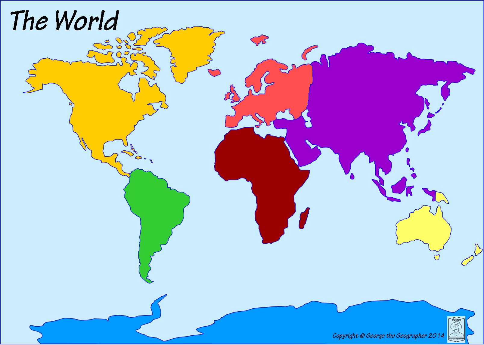
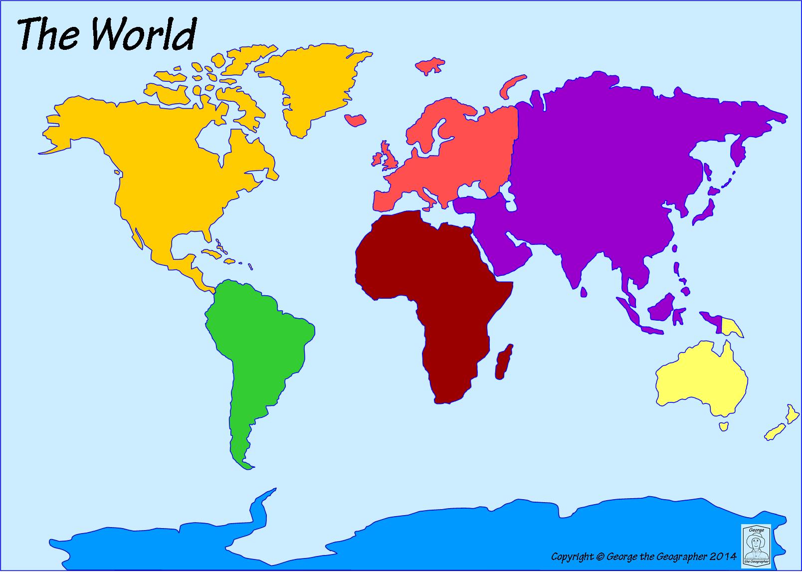
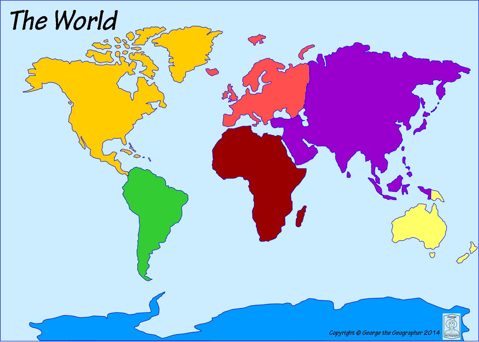
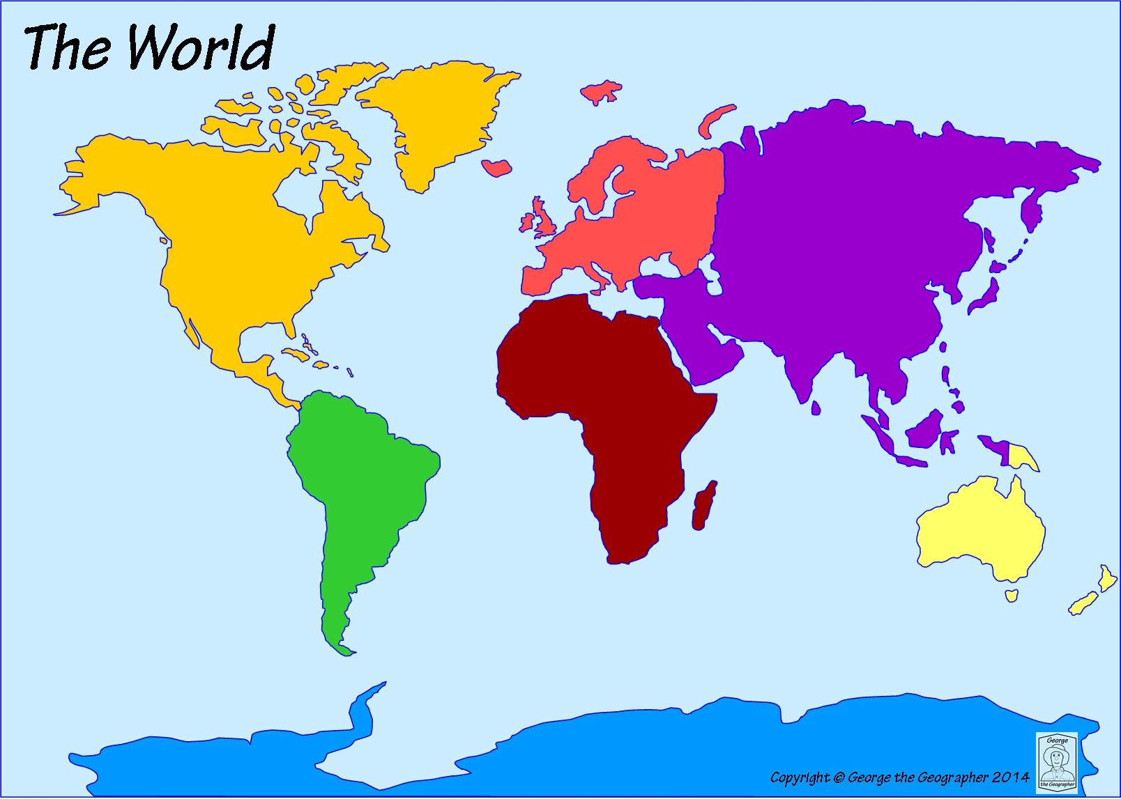
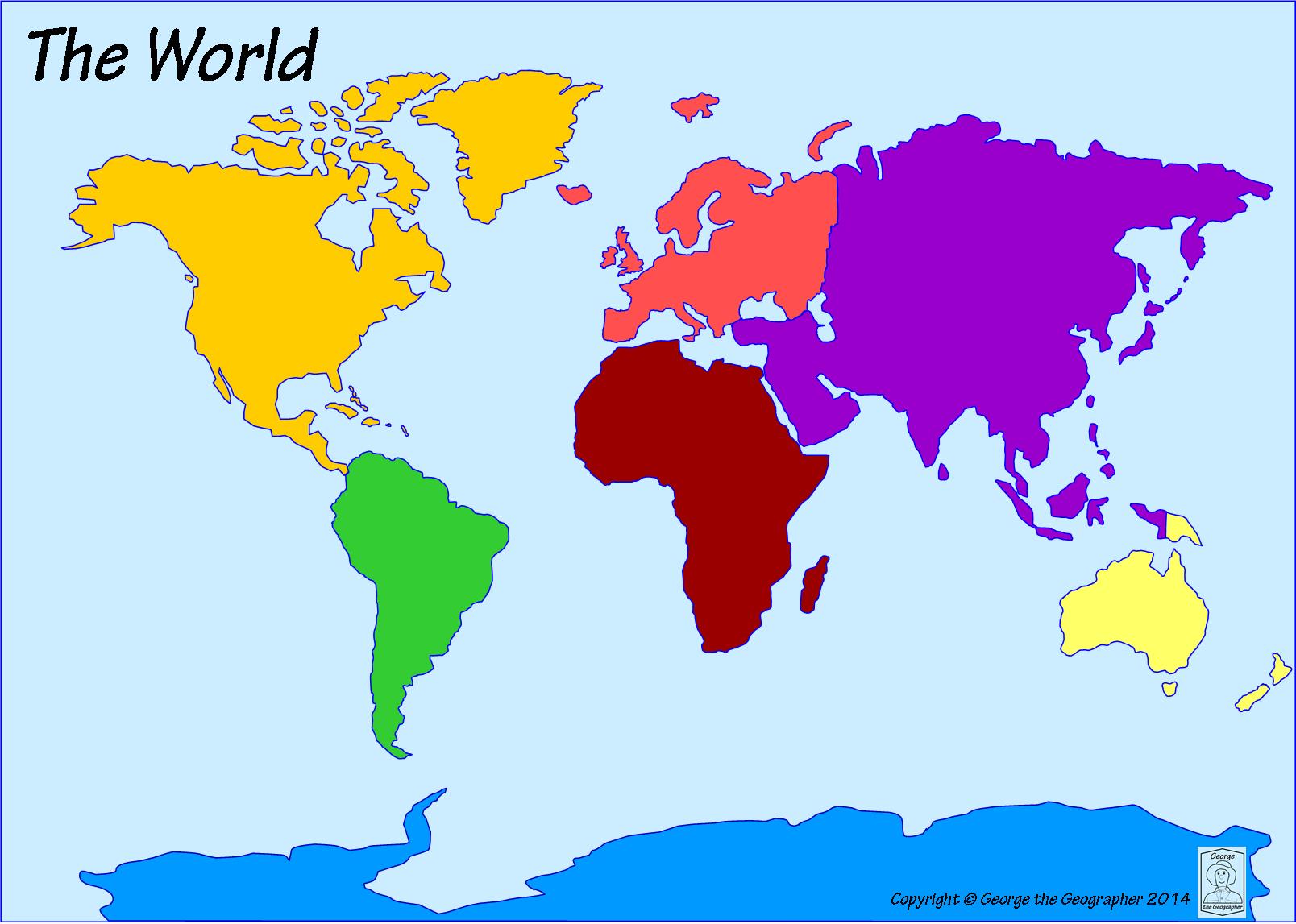
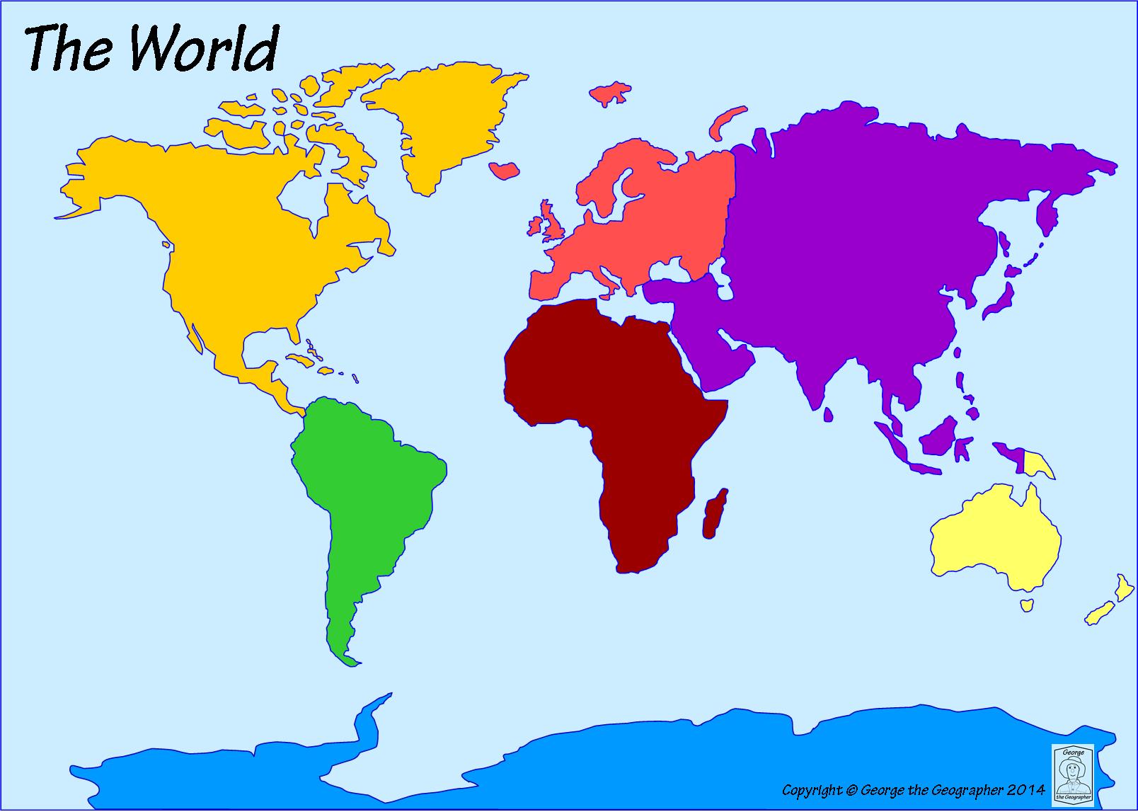
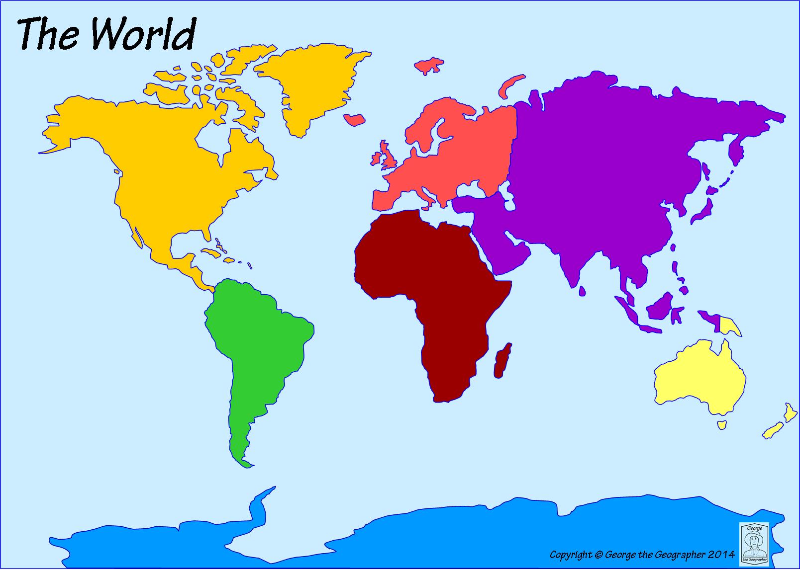
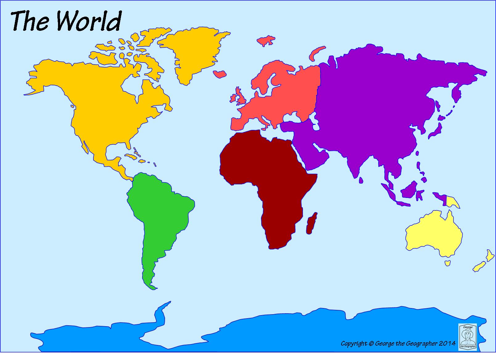
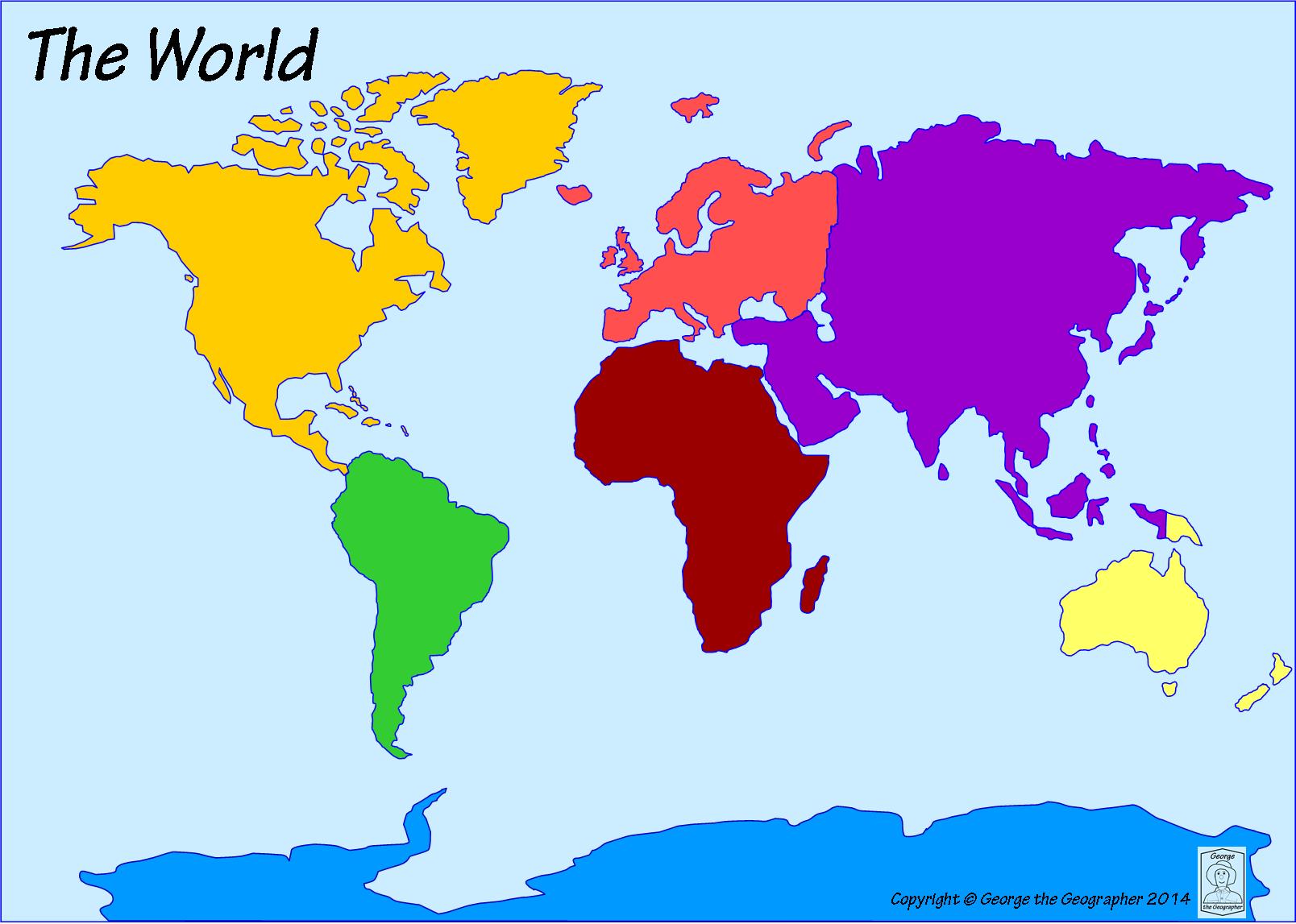
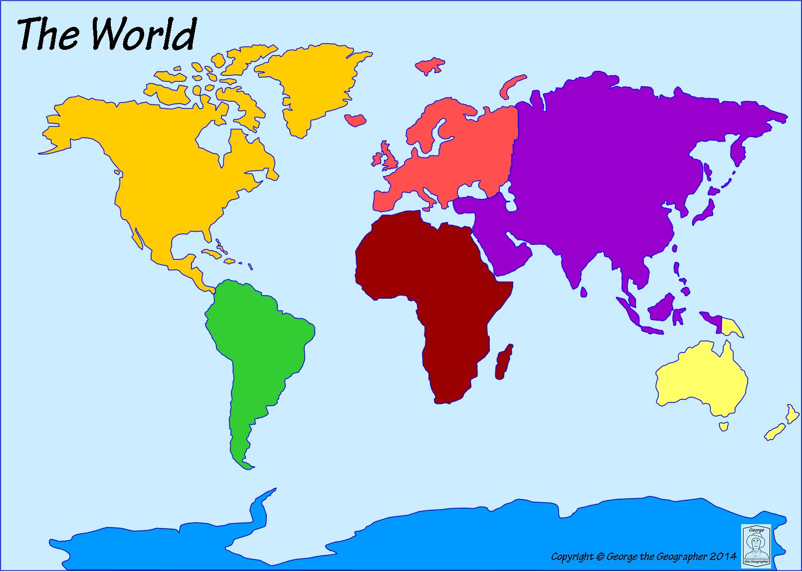
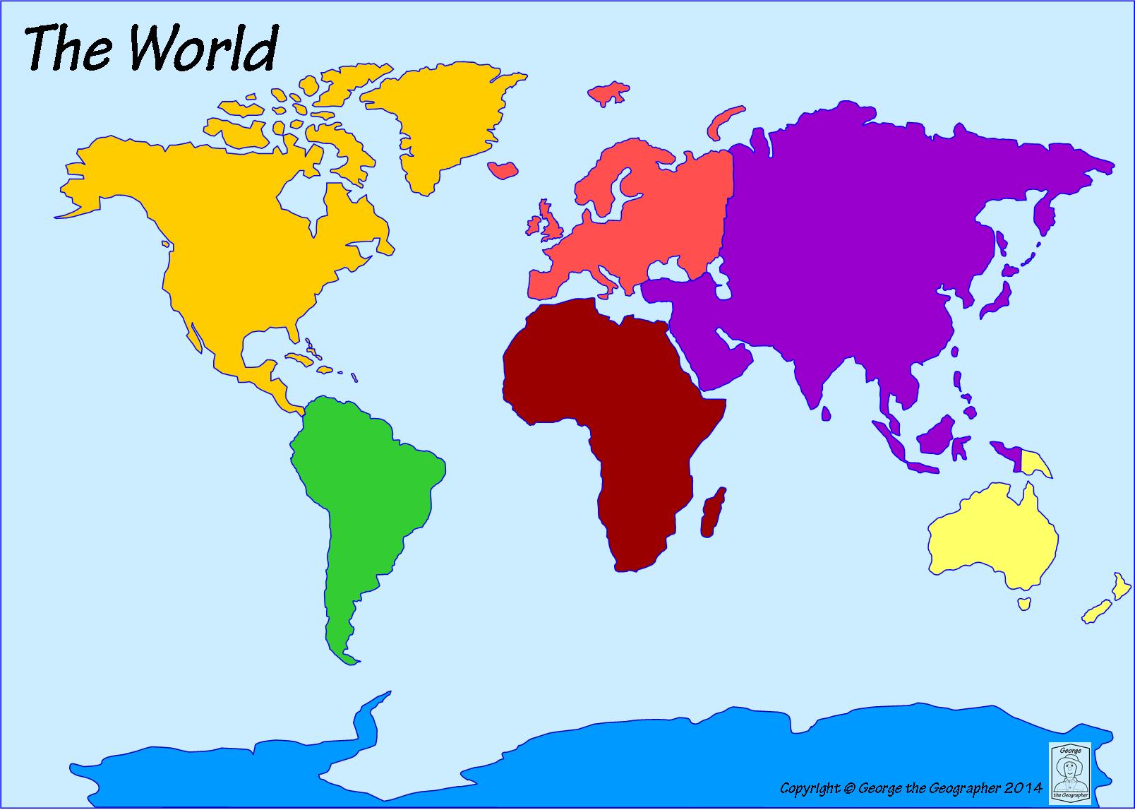
What is the name of the dark yellow continent?

a)

South America

b)

North America

c)

Asia

d)

Africa

2.

What continent is directly south of North America?

a)

Australia

b)

Europe

c)

Africa

d)

South America

3.

Which ocean is located off the east coast of North America?

a)

Pacific Ocean

b)

Atlantic Ocean

c)

Indian Ocean

d)

Southern Ocean

4.

Which continent is located west of Asia?

a)

Europe

b)

Antarctica

c)

Australia

d)

South America

5.

What is the name of the largest continent?

a)

North America

b)

Europe

c)

Asia

d)

Africa

6.

What is the name of the most southern continent?

a)

Australia

b)

Africa

c)

Asia

d)

Antarctica

7.

Which ocean is the farthest north?

a)

Indian Ocean

b)

Southern Ocean

c)

Arctic Ocean

d)

Atlantic Ocean

8.

Which continent is to the east of the Indian Ocean and to the west of the Atlantic Ocean?

a)

Africa

b)

Europe

c)

North America

d)

Asia

9.

Which continent is an island continent?

a)

Europe

b)

North America

c)

Antarctica

d)

Australia

10.

The United States of America is a country located on which continent?

a)

South America

b)

Europe

c)

Africa

d)

North America

11.

The world is divided between the Northern and Southern ___________.

a)

Equator

b)

Hemispheres

c)

Continents

d)

Oceans

12.

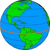
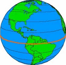
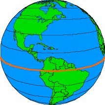
The imaginary line that divides the Earth into two parts is called the ________.

a)

Equator

b)

Hemisphere

c)

Prime Meridian

d)

North Pole

13.

North America is located in which hemisphere?

a)

Northern

b)

Southern

14.

What is the smallest continent?

a)

Europe

b)

South America

c)

Australia

d)

North America

15.
What is land good for growing crops?
a)
tundra
b)
arid
c)
arable land
d)
plateau
16.
A treeless plain where only grasses and mosses grow.
a)
tundra
b)
peninsula
c)
arable land
d)
dessert
17.
Very Dry
a)
tundra
b)
arid
c)
humid
d)
maritime climate
18.
an area of land mostly surrounded by water.
a)
island
b)
peninsula
c)
maritime 
d)
humidity
19.
Climate controlled by a large body of water.
a)
tundra
b)
oceans
c)
maritime climate
d)
tropical
20.
Canada is ______ of the United States
a)
North
b)
South
c)
East
d)
West
21.
Oceans surround Canada from the _______.
a)
North
b)
East
c)
West
d)
All of the above
22.
The ______ is a river that makes up much of the border between the United States and Mexico.
a)
Mississippi River
b)
Rio Grande River
c)
St. Johns River
d)
The Pacific River
23.

Which tool would you use to see the whole earth ?

a)

map

b)

globe

c)

thesaurus

24.

What is the imaginary line that divides the Earth into northern and southern halves?

a)

pole

b)

region

c)

equator

25.

What is the only continent made up of one country?

a)

Austrailia

b)

North America

c)

Asia

26.

What is the largest lake in the World?

a)

Lake Michigan

b)

Caspian Sea

c)

Nile River

27.
What is number 1?
a)
United States
b)
Canada
c)
Mexico
d)
Central America
28.
What is number 1?
a)
United States
b)
Canada
c)
Mexico
d)
Central America
29.
What is number 2?
a)
United States
b)
Canada
c)
Mexico
d)
Central America
30.
What is number 2?
a)
United States
b)
Canada
c)
Mexico
d)
Central America
31.
What is number 3?
a)
United States
b)
Canada
c)
Mexico
d)
Central America
32.
What is number 3?
a)
United States
b)
Canada
c)
Mexico
d)
Central America
33.
What is number 4?
a)
Cuba
b)
Canada
c)
Mexico
d)
Central America
34.
What is number 4?
a)
Cuba
b)
Canada
c)
Mexico
d)
Central America
35.
What is number 5?
a)
Cuba
b)
Canada
c)
Mexico
d)
Central America
36.
What is number 5?
a)
Cuba
b)
Canada
c)
Mexico
d)
Central America
37.
What is number 6?
a)
Cuba
b)
Canada
c)
Mexico
d)
Central America
38.
What is number 6?
a)
Cuba
b)
Canada
c)
Mexico
d)
Central America
39.
October 12, 1492, Columbus claimed land he found for what country? 
a)
United States
b)
Spain
c)
France
d)
Italy
40.
Who was the first Spaniard to explore the lands that are now the United States? 
a)
Columbus
b)
Hernando De Soto
c)
Ponce de Leon
d)
George Washington 
41.
What are the five big bodies of water called that Champlain found? 
a)
Niagara Falls
b)
Fountain of Youth
c)
The Great Lakes 
d)
Mississippi River 
42.
What is the waterfall between Canada and the United States? 
a)
Niagara Falls
b)
The Great Lakes
c)
Mississippi River 
43.

What river is shown below?

a)

Mississippi River

b)

Rio Grande River

c)

Atlantic Ocean

d)

Pacific Ocean

44.

What map feature is circled in the picture?

a)

Title

b)

Compass Rose

c)

North America

d)

Directions

45.

What river is shown below?

a)

Mississippi River

b)

Rio Grande River

c)

Atlantic Ocean

d)

Pacific Ocean

46.

What lakes are shown in blue?

a)

Large Lakes

b)

Big Lakes

c)

Great Lakes

d)

North America Lakes

47.

The Mississippi River is in the middle of the country.

a)

True

b)

False

48.

The Mississippi River is the longest river in North America.

a)

True

b)

False

49.

The Great Lakes are SALTWATER

a)

True

b)

False (they are FRESHWATER)

50.

Which mountain range is shown in red?

a)

Appalachian Mountains

b)

Rocky Mountians

c)

Great Mountains

d)

North America Mountains

51.

Which mountain range is shown in red?

a)

Appalachian Mountains

b)

Rocky Mountains

c)

Great Mountains

d)

North America Mountains

52.

The Rio Grande River is on the boundary of the United States and _______.

a)

North America

b)

South America

c)

Canada

d)

Mexico

53.

The continent we live on is _______.

a)

North America

b)

South America

c)

Europe

d)

Asia

54.
What is the following North American Physical Feature?
a)
Hudson River
b)
Lake Huron
c)
Lake Erie
d)
Hudson Bay
55.
What is the following North American Physical Feature?
a)
Hudson River
b)
Lake Huron
c)
Lake Erie
d)
Hudson Bay